GEO University
GEO University is a company established in Estonia Tallinn, with the mission to educate people who want or grow in the geospatial and space industries. The name stands for GIS (Geographical Information Systems) and Earth Observation (GEO). GEO University is dedicated to creating and delivering knowledge and solutions to students, professionals, decision-makers, and scientists who want to introduce or enhance their knowledge in these fields or even get a solution to their geospatial problem. The team of professionals and experts will guide the students through topics like Geographical Information System (GIS), WebGIS, Remote Sensing/Earth Observation, Photogrammetry, and Space. GEO University is constantly adding new courses and new fields of expertise.
The courses vary from simple note collections, books (for people who have constrained time to study) to complete lectures with exercises, quizzes (for people who are willing to dive into and extract the maximum value from the course).
GEO University courses are not only the theoretical basics and principles of each field, but we also create tutorial courses for specific open-source and commercial software. Courses are constantly being added and updated so that the student gets the best of knowledge and experience!
Products:
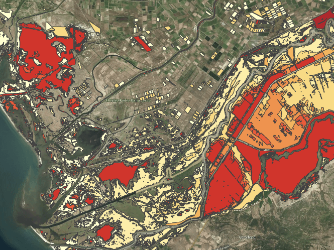
Geo Insurance
Starts from 2500€

GEO Premium
A huge variety of courses, tools and data to start learning and advance your skills in Earth Observation, GIS and Satellite Remote Sensing. Get instant access with more than 8000 minutes of learning content.
Starts from 29€ / month
Google Earth Engine Training For EO Applications
Become an Expert on Google Earth Engine. Extend your GIS and Earth Observation processing to a planetary level!
45€
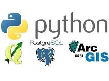
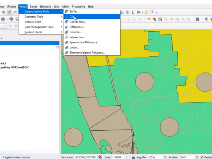
FOSS4g Stack: Python Geospatial
Get to know all kinds of different GIS software products, and learn how to tie them all together with Python.
25€
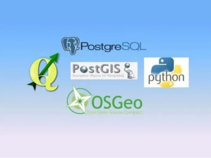
FOSS4g Stack: Spatial SQL with PostgreSQL / PostGIS
Learn how to take advantage of Postgres 11, the most popular open source database, and Spatial SQL, a language for geographers, GIS and remote sensing experts!
25€
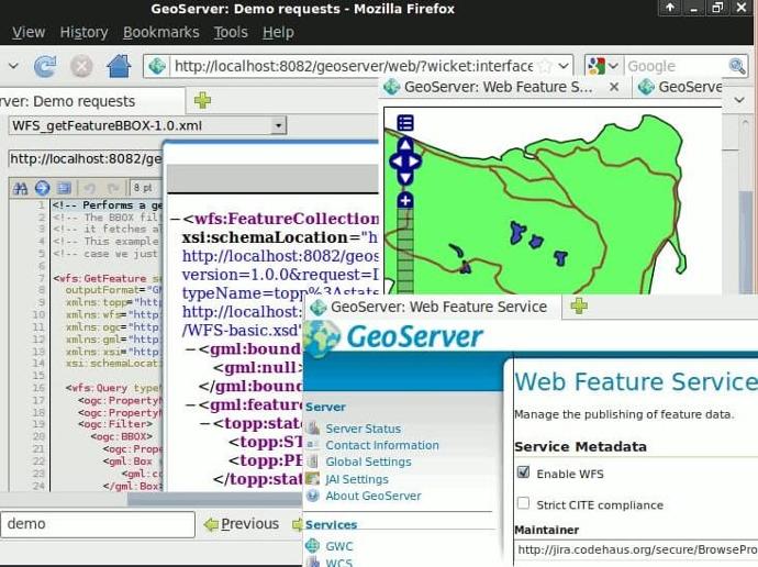
FOSS4g Stack: Internet Mapping with Geoserver
Become an expert on Geoserver and build web applications for your clients.
25€
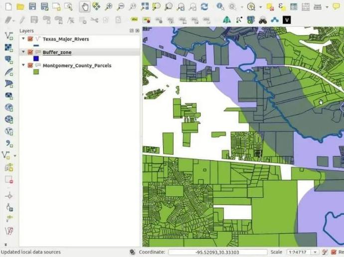
FOSS4g Stack: QGIS 3 Desktop
Become an expert in QGIS 3 Desktop through this 7 hours hands-on free course!
Free
FOSS4g Stack: Enterprise GIS w/ PostgreSQL / PostGIS
Learn how to create an enterprise GIS with PostgreSQL/PostGIS, QGIS and Python. Manage users, and support multiple GIS software clients!
35€
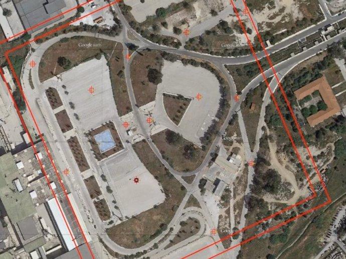
Introduction to UAV mapping
Enter the world of aerial mapping and surveying, and learn how to select the right UAV for your needs, execute your flights according to the spatial products you want to generate, and many more.
20€
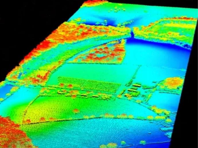
Overview of LiDAR; system variations, data interpretation & applications
Gain an in-depth understanding of LiDAR concepts, systems and algorithms with this step-to-step course, starting from scratch.
30€
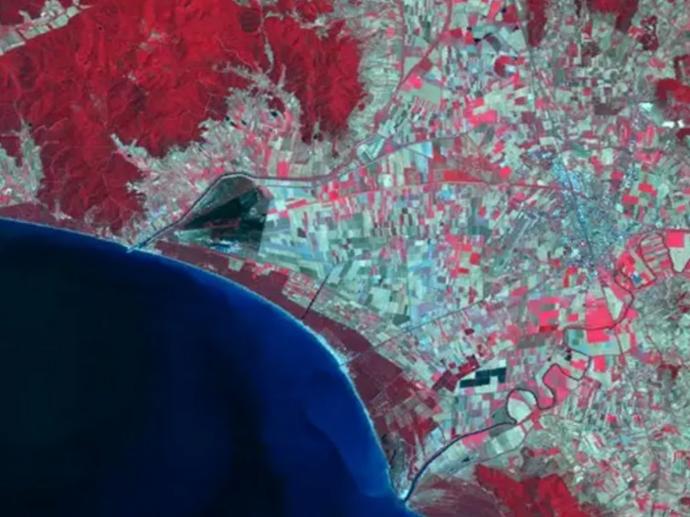
Learn Hyperspectral Remote Sensing from the Scratch
Understand primary concepts, methods and algorithms of imaging spectroscopy with this self-paced online course.
20€
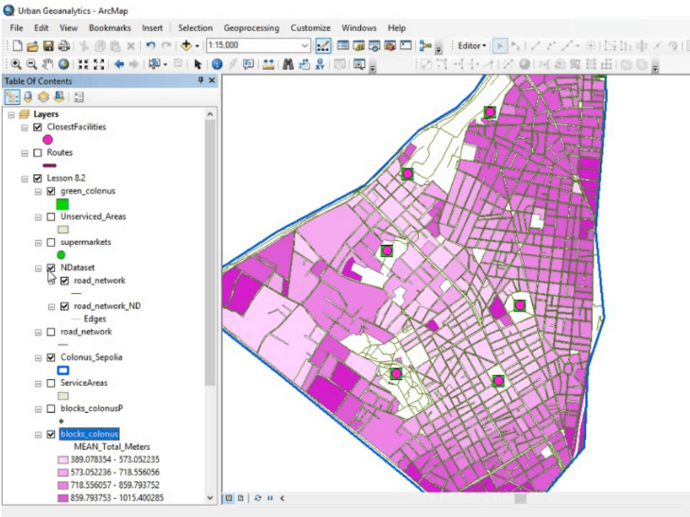
Geospatial Analysis for Urban Applications with GIS and a bit of Python
2.5 hour online course showcasing more than enough tools and algorithms to highlight and analyze urban problems.
30€