Airbus Defence and Space
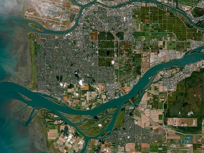
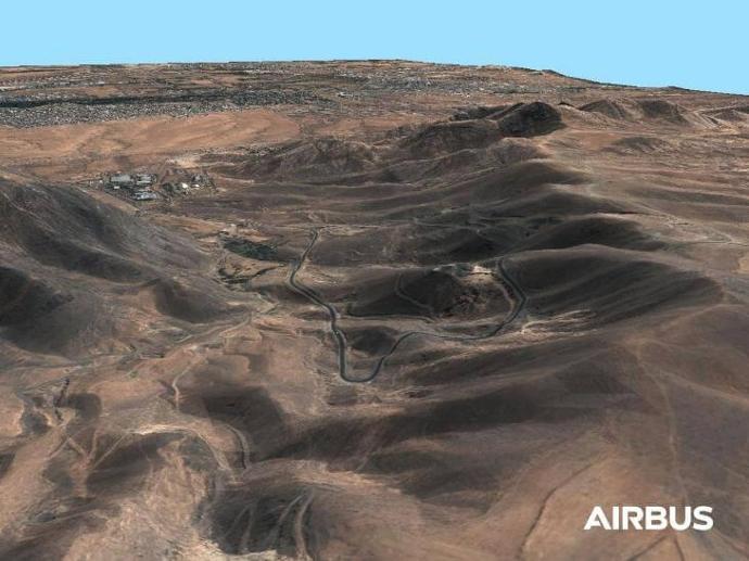
The Intelligence Programme Line of Airbus Defence and Space is recognised as a world leader in geospatial data provision and defence intelligence. It is a global supplier of commercial satellite imagery. Based upon proprietary commercial access to the Pléiades, SPOT, TerraSAR-X and TanDEM-X optical and radar satellites, combined with comprehensive applications experience, Airbus Defence and Space delivers a broad product and services portfolio spanning the entire geo-information value chain.
With more than 30 years of experience in data acquisition, processing, data management and hosting, Airbus Intelligence delivers sustainable solutions that deliver exactly the customers' needs, when and where they need them - across a comprehensive range of markets, addressing defence & security, commercial and civil institutional customers.
Products:

Pléiades Neo
Starts from 450€
WorldDEM™ Neo
Starts from 900€
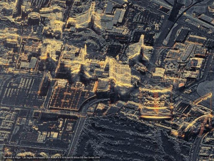
TerraSAR-X
Starts from 875€
OneAtlas Living Library
Starts from 1200€ / year
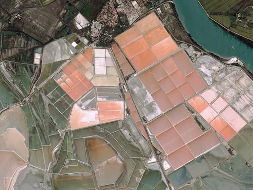
Pléiades
Starts from 250€
SPOT 6/7
Starts from 90€
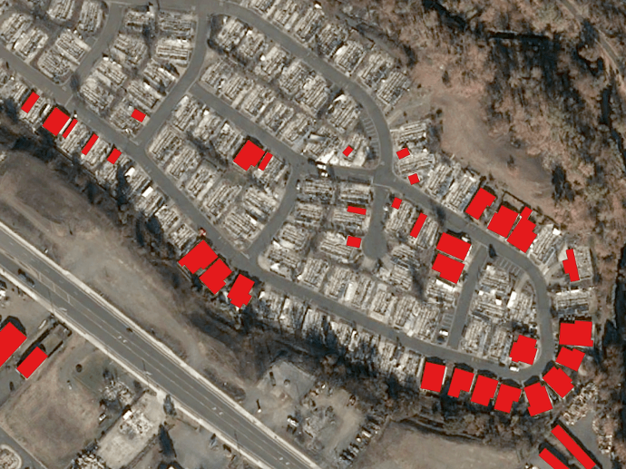
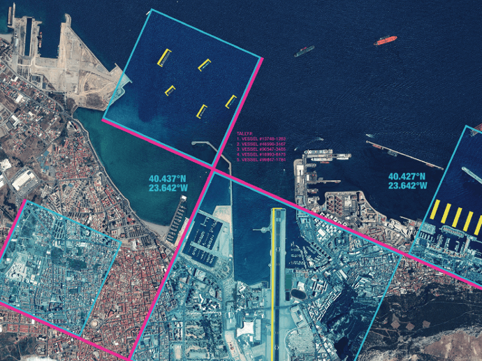
OneAtlas Analytics
Starts from 1200€ / year
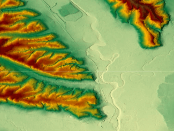
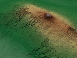
WorldDEM™
Starts from 500€
Elevation 1
Starts from 5500€
Elevation 8
Starts from 8000€

Elevation 30
Starts from 1150€