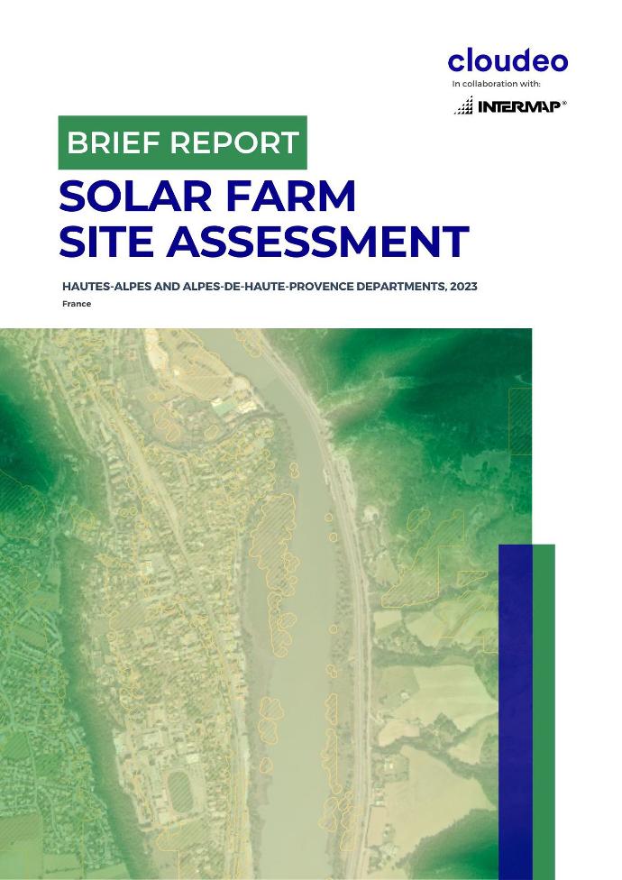
Solar parks in the southern French Alps are causing deforestation as natural areas are cleared for the installation of solar panels. The practice has raised concerns among local citizens and environmental groups. The Hautes-Alpes and Alpes-de-Haute-Provence regions have seen a surge in solar farm projects due to favorable conditions of abundant sunshine and cool temperatures. However, these projects encroach on forest land, which has prompted calls for priority to be given to built-up land for solar installations rather than agricultural or forest land.
Interested in NEXTMap One™?
Get 1-meter resolution elevation data, perfect for high-quality surface analysis for site selection and infrastructure planning!
Why elevation?
Elevation data can assist in the site suitability assessment for a solar farm installation. With elevation data, solar developers can analyze shading patterns, optimize panel placement, and maximize energy production. Additionally, elevation products aid in evaluating potential risks, such as flooding or unstable ground conditions, ensuring site suitability and reducing project setbacks. By leveraging elevation data, solar farm site selection becomes a more informed and efficient process, leading to the identification of optimal locations with high solar resource potential and minimized environmental impact.
DSM or DTM?
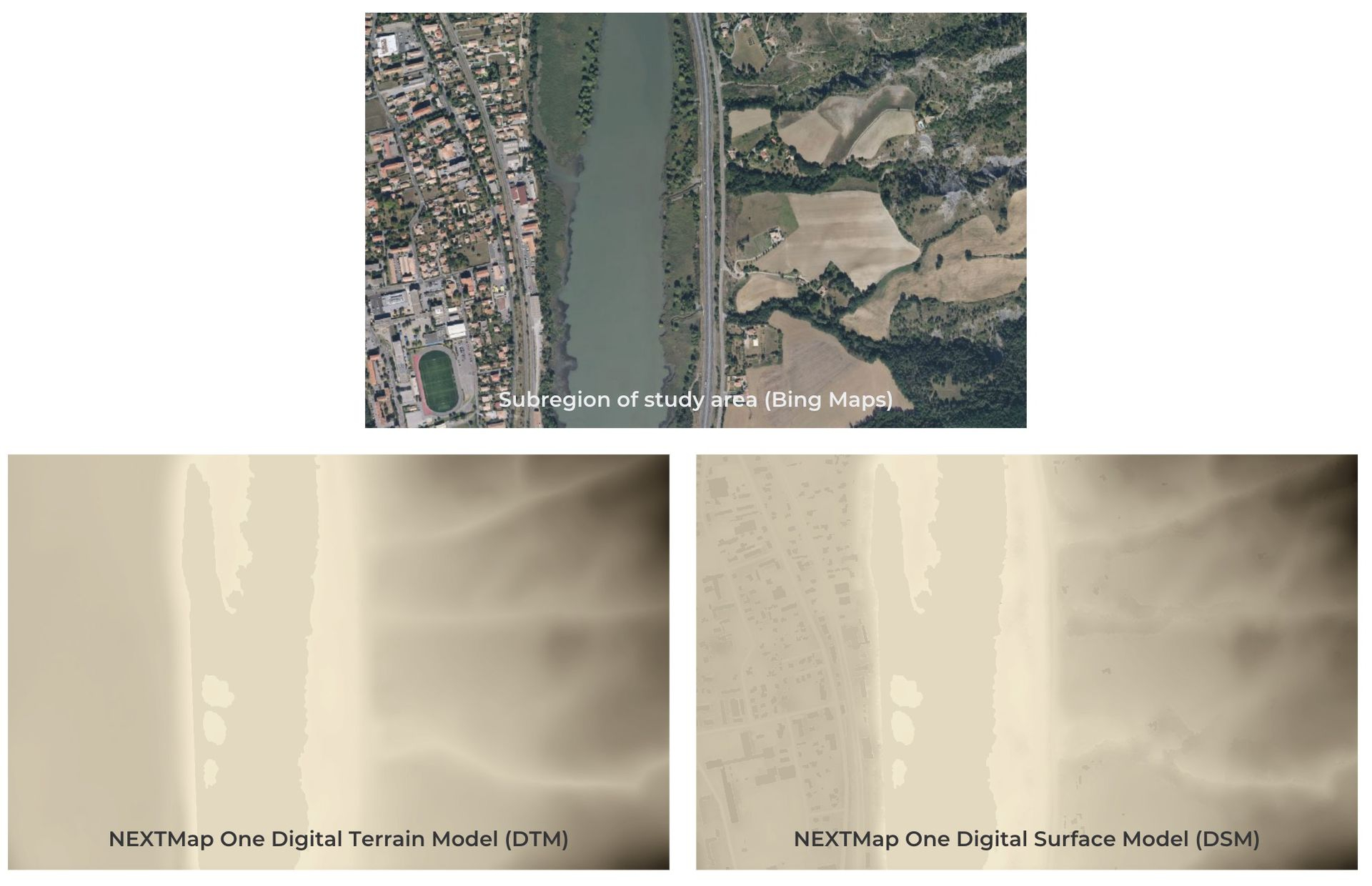
For the solar farm site assessment, NEXTMap One elevation data was used. It provides up to 1-meter resolution elevation data for any location in the world.
Furthermore, it comes as both Digital Surface Model (DSM) and Digital Terrain Model (DTM). NEXTMap One DSM provides detailed surface elevations derived from terrain, vegetation, and man-made features like buildings and infrastructure. On the other hand, NEXTMap One™ DTM focuses solely on the bare earth, with all other surface features removed.
Site suitability assessment
Download the Brief Report for the solar farm site assessment over a selected region of Southern France, and discover how you can take advantage of very high-resolution elevation data, like NEXTMap One.
Gain valuable insights into the most suitable locations for solar farm installations, with respect to the topography of the area avoiding agricultural and forest regions, and start making well-informed decisions by highlighting those sites that optimize solar energy potential, ensure environmental compatibility, and offer attractive economic benefits: