NEXTMap One™
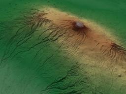
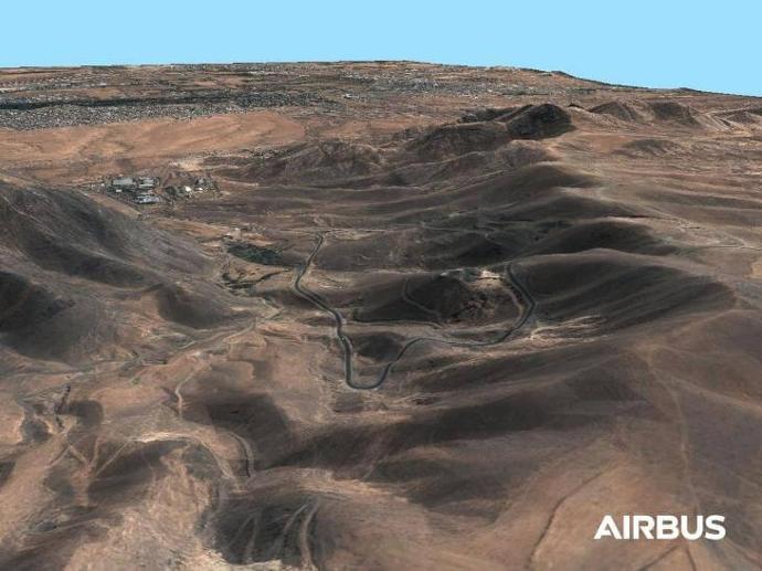
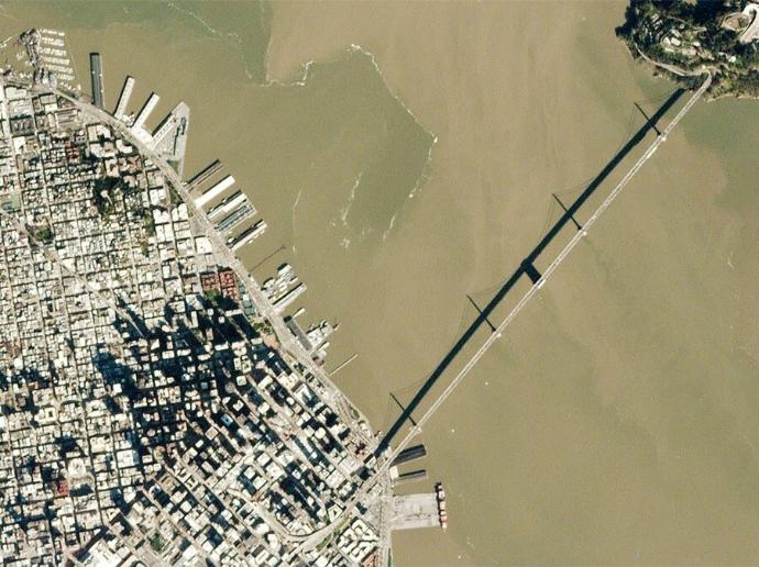
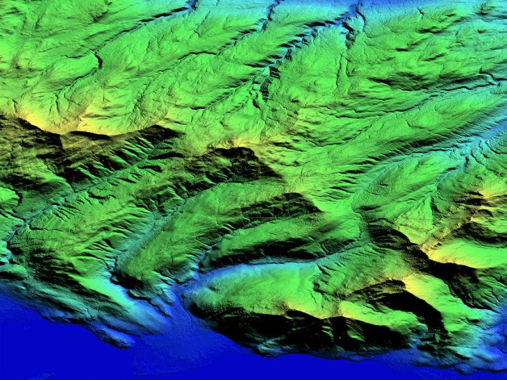
NEXTMap One™ DSM (Digital Surface Model) includes surface elevations from terrain, vegetation, and man-made features, such as buildings and infrastructure.
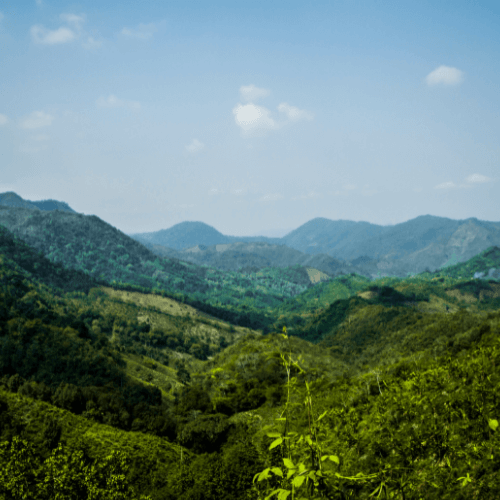
NEXTMap One™ DTM (Digital Terrain Model) shows only the bare earth (all the surface features have been removed).
Both DSM and DTM are ideal for mapping, visualization, and analysis. They are used in telecommunications, geology, aviation, forestry, natural resources management, infrastructure planning, and emergency response; DTM is commonly used in applications like orthorectification, 3D visualization, watershed analysis, environmental risk analysis, and cartography.
Need a sample to test the product before ordering?
Key features
Available off-the-shelf for regions inside the US, France, Germany, Malaysia, Philippines, and Indonesia
Available as a natural terrain feature digital surface model (DSM) and as a bare earth digital terrain model (DTM)
Budget-friendly fusion services
1m spatial resolution with a vertical accuracy up to 1m LE90
Water bodies and coastlines are flattened and corrected for accurate measurement
Datasets are available through direct download, streaming or via API
Key applications

Transportation
3D flight simulation
Surface analysis for road construction
Intelligent transportation systems (ITS)
3D flight simulation
Surface analysis for road construction
Intelligent transportation systems (ITS)
Environment
Predicting potential landslides
Estimating number of trees per unit area
Modeling water flow
Predicting potential landslides
Estimating number of trees per unit area
Modeling water flow

Infrastructure
Site selection process
Assessing slope failure and soil erosion
Line-of-sight analysis
Site selection process
Assessing slope failure and soil erosion
Line-of-sight analysis
FAQs
NEXTMap provides the user with spatially rich features such as buildings, flattened roads, natural terrain, and is fully hydro enforced.
The NEXTMap One DSM and DTM are ideal for in-depth analysis and can be used in countless applications. These include geological mapping, 3D visualization, watershed analysis, emergency response, land cover, forestry, resource conservation, environmental risk analysis, infrastructure planning, image orthorectification, contour generation, and cartography.
NEXTMap One DSM and DTM are available through the standard Open Geospatial Consortium (OGC), Web Coverage Service (WCS), and Web Map Service (WMS) protocol that is compatible with hundreds of third-party tools and applications.
The only restriction is in the pricing; a minimum order of 500€ is required. In terms of area size, there is no restriction.
Yes, there are. Please fill out the quote form below, including a shapefile that covers your area of interest, and we will let you know of the availability.
The EULA of NEXTMAP One™ is under the authority of Intermap and can be found here.