TerraSAR-X
TerraSAR-X is a leading satellite for geospatial intelligence, for defense and change detection in sensitive areas. It reliably acquires high-resolution and wide-area radar images, from 0.25m to 40m resolution, independent of the weather conditions. The satellite features a unique geometric accuracy that is unmatched by any other commercial spaceborne sensor.
TerraSAR-X is specifically optimised to meet the requirements of commercial users around the globe who require readily available, high-quality and precise Earth observation data. The archive dates back to 2008 in some areas.
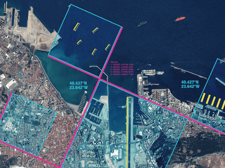
From SAR data, very high resolution digital elevation models can be built from stereo SAR imagery, generating the very highest resolution elevation information available. Analysis of SAR imagery can also reveal displacements in the earth's surface, such as after a geological event. And because of how SAR imagery reflects on water, it makes an excellent choice for maritime monitoring and analysis, from ship tracking to oil spill identification.
Imaging Mode | Standard Scene Size | Spatial Resolution |
Staring SpotLight (ST) | 4 x 3.7 | 0.25 m |
HighRes SpotLight (HT) | 10 x 5 | 1 m |
SpotLight (SL) | 10 x 10 | 2 m |
StripMap (SM) | Single: 30 x 50 ; Dual: 15 x 50 | 3 m |
ScanSAR (SC) | 100 x 150 | 18.5 m |
Wide ScanSAR (WS) | 270 x 200 | 40 m |
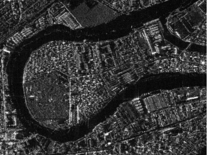
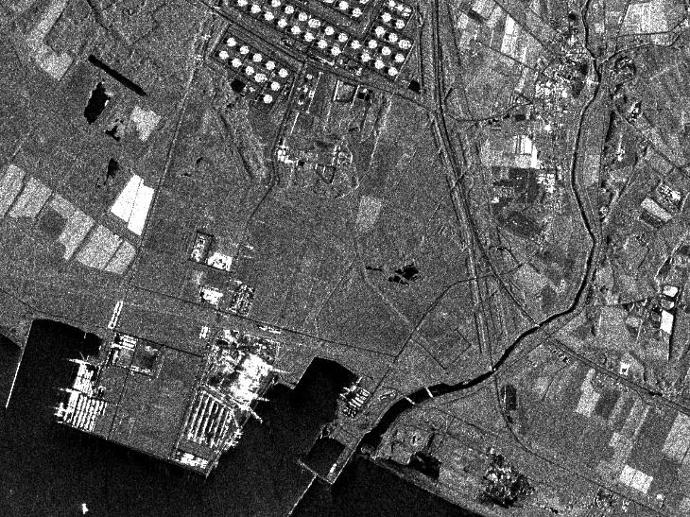
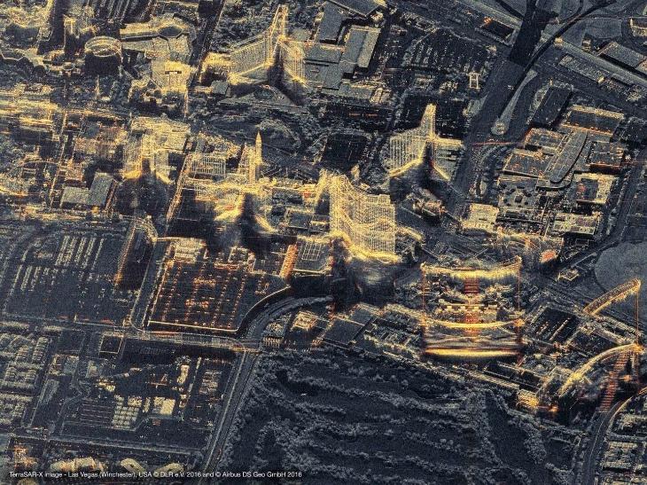
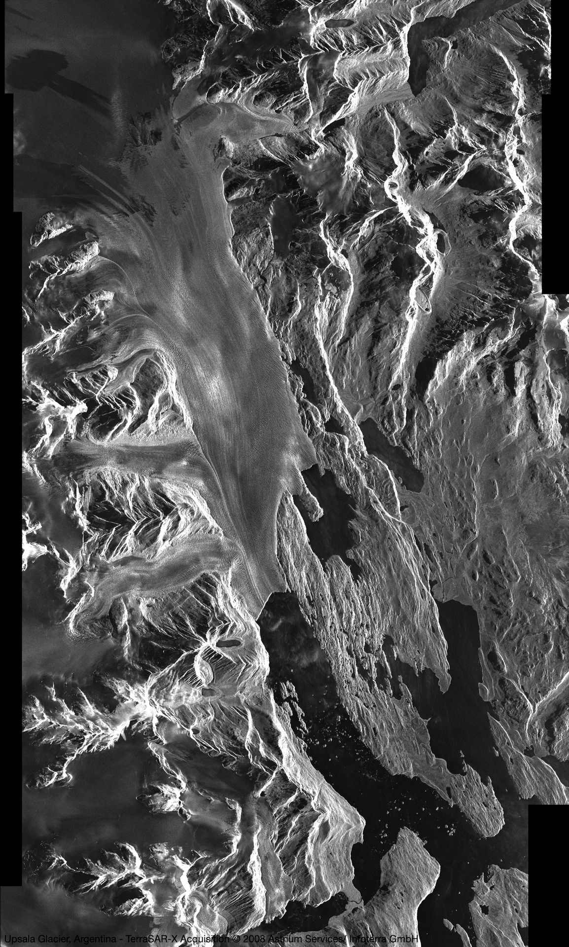
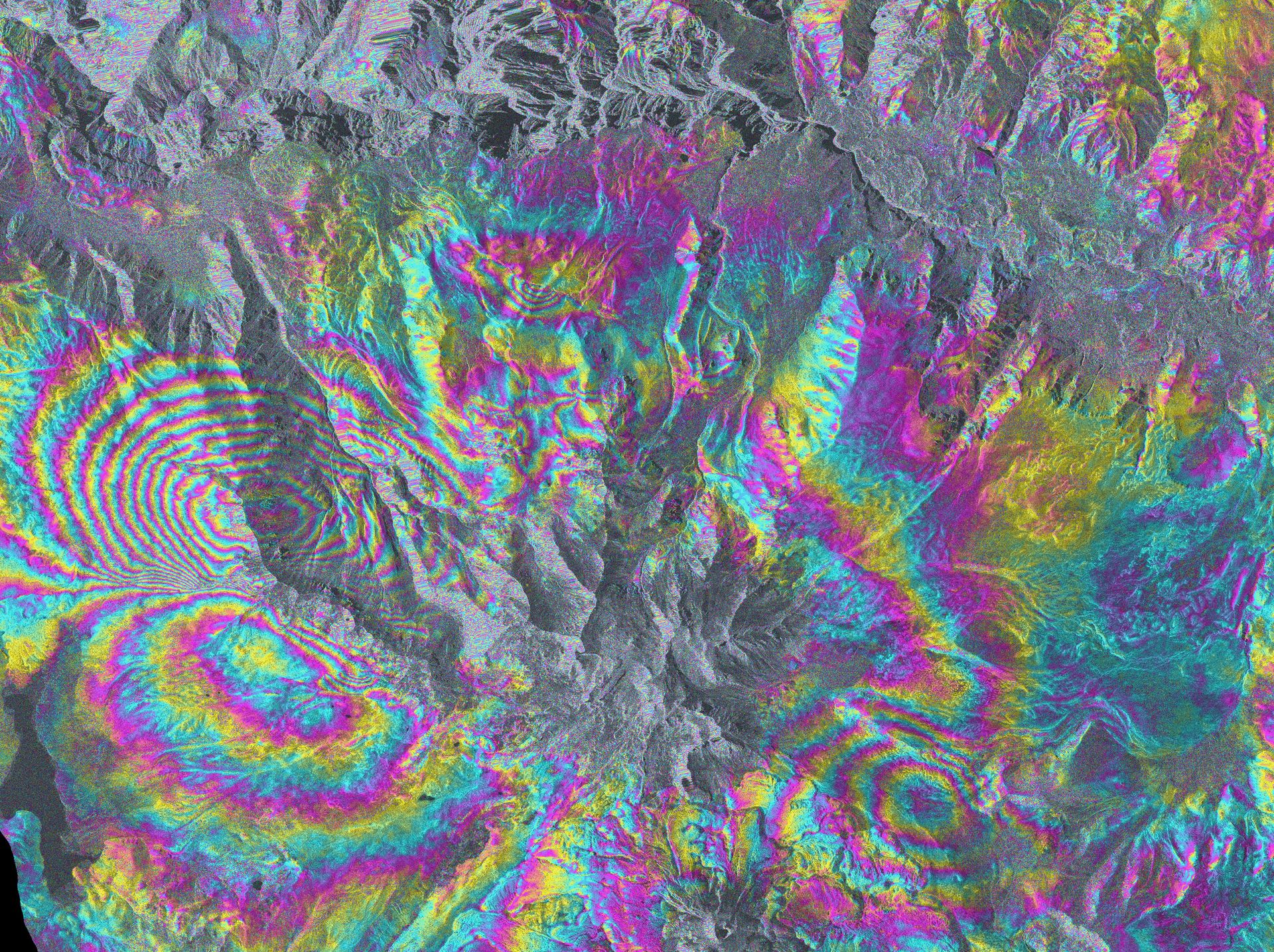
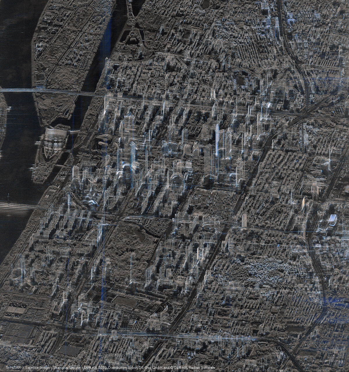
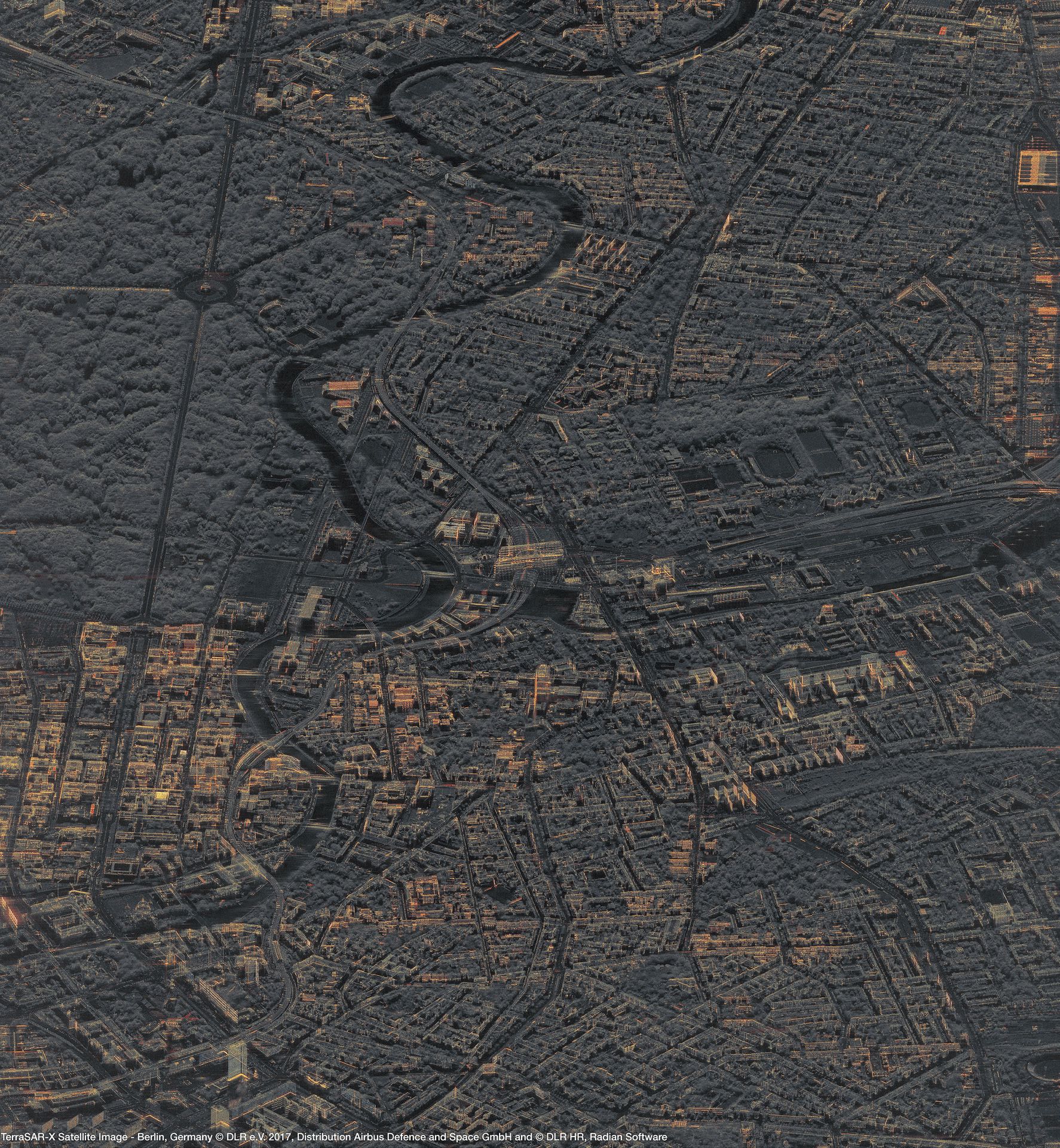
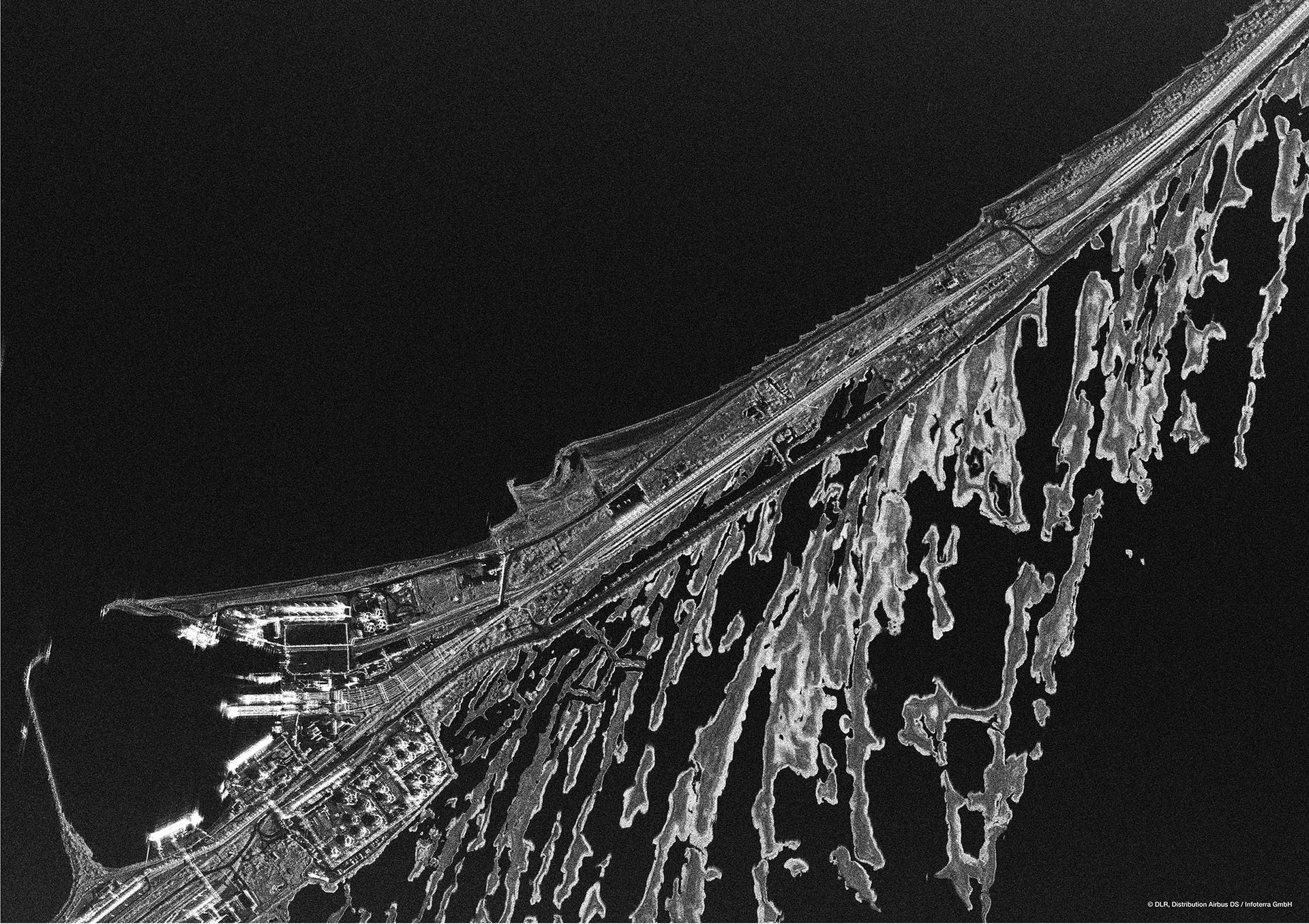
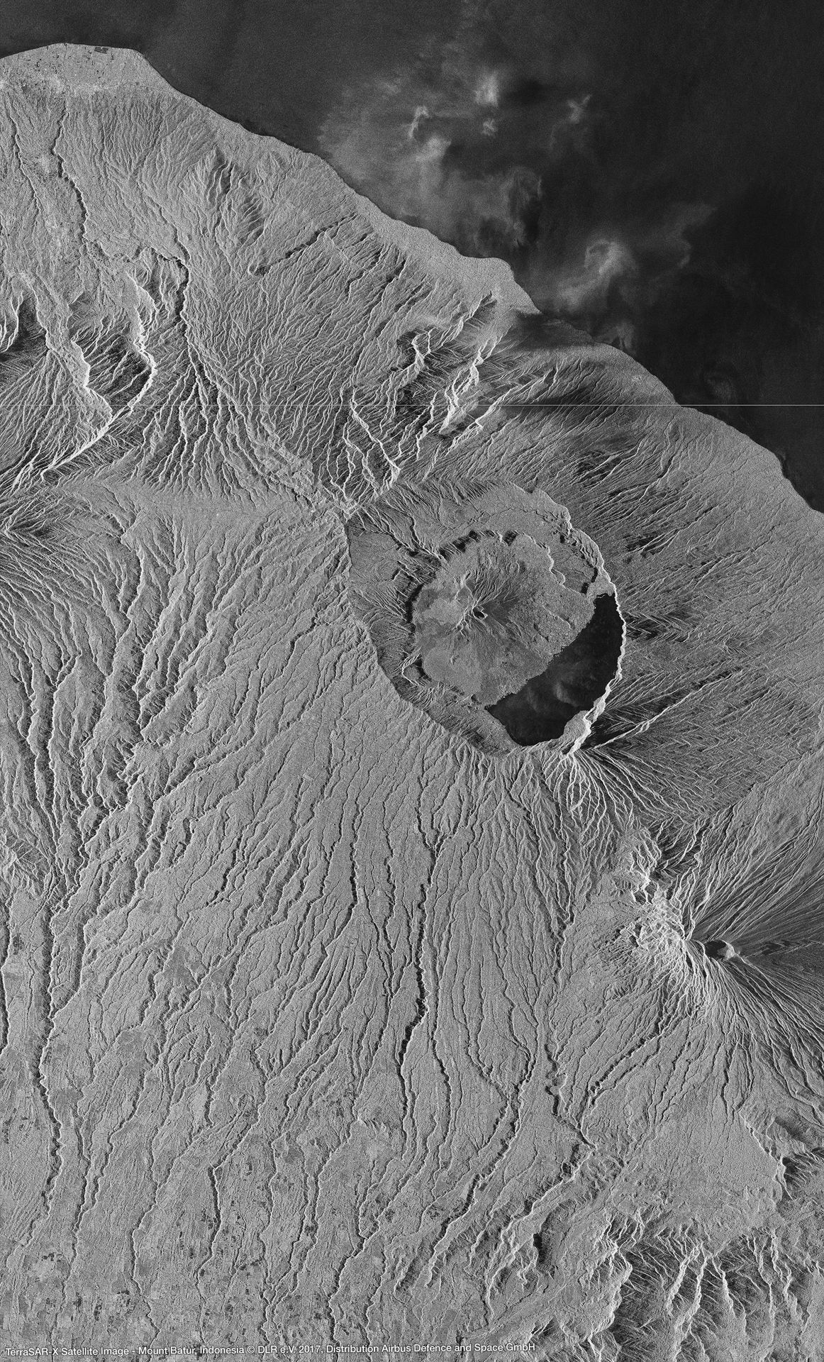
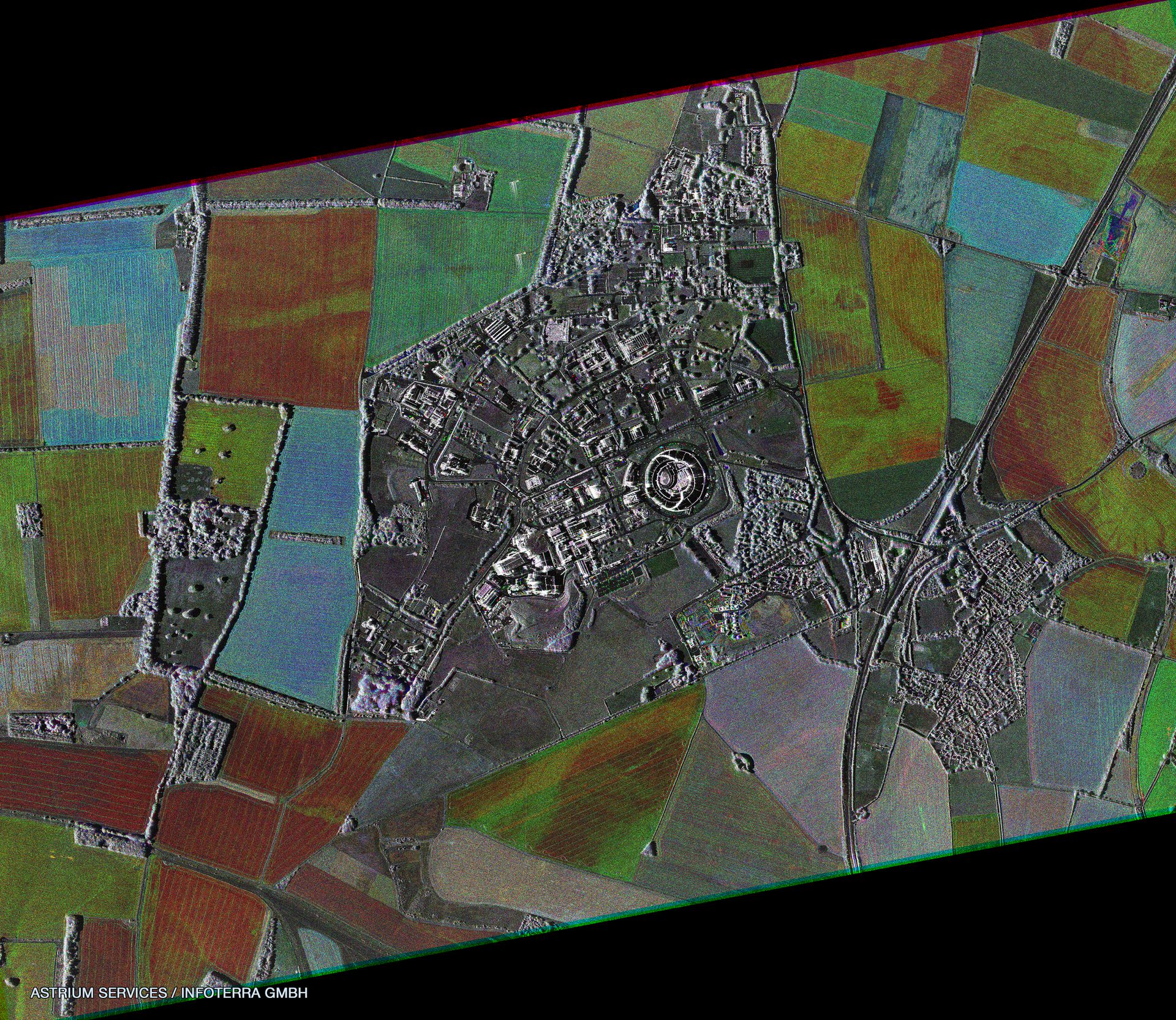
Gallery
Key features
6 acquisition modes with flexible spatial resolution (from 25cm to 40m) and footprint
4/7 days Interferometric Repeat Cycle
Global mean revisit time <24 hrs
Weather and daylight independent site access to any point on Earth
High agility (rapid switches between different imaging modes and polarizations)
Unrivalled geometric accuracy and excellent radiometric accuracy
Key applications
Infrastructure
Monitoring illegal construction
Analyzing roads' condition
Generating elevation model at local level
Monitoring illegal construction
Analyzing roads' condition
Generating elevation model at local level
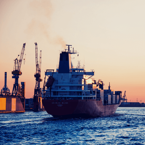
Maritime
Detecting ships and vessels
Mapping oil spills and position forecasting
Mapping of fishing zones
Detecting ships and vessels
Mapping oil spills and position forecasting
Mapping of fishing zones
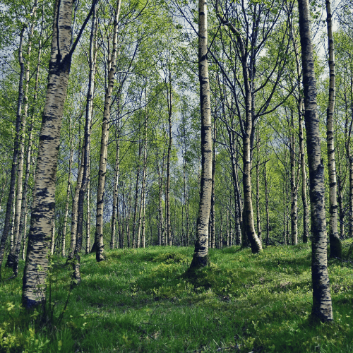
Forestry
Assessing slope failure and soil erosion
Detecting forest roads
Estimating number of trees per unit area
Assessing slope failure and soil erosion
Detecting forest roads
Estimating number of trees per unit area
FAQs
TerraSAR-X is sold by the scene, not by total area of interest.
After the confirmation of the quote and the payment of the order, an FTP link will be sent to the email that you have filled into the quotation form.
The official TerraSAR-X Image Product Guide by Airbus can be found here.
The EULA of TerraSAR-X is under the authority of Airbus Defence & Space and can be found here.