PlanetScope Archive
See the changes over time for your area of interest (AOI), anywhere in the world, in stunning detail at a resolution of just 3 metres. PlanetScope multispectral imagery is widely used in applications involving forest monitoring, detecting changes in urban and peri-urban environments, and predicting crop yields.
Specify the number of images you need for your AOI, as well as the archive date range. You can upload the downloaded images to the analysis software of your choice. Note any special requests in the 'Remarks' field in the Request Quote section, such as frequency, angle of incidence, and cloud coverage.
Please note the minimum order of €4,500.00.
Processing level | Basic Scene (L1) | Ortho Scene (L3) |
Ground sample distance | 3.7 m | 3.7 m |
Pixel Resolution | 3.7 - 4.1 m | 3.0 m |
| Spectral bands | B G R NIR | B G R RE NIR |
| Bit depth | Analytic (DN): 12 bit, Analytic Radiance: 16 bit | Visual: 8-bit, Analytic (DN): 12-Bit, Analytic (Radiance): 16-Bit, Analytic SR: 16-Bit |
| Geometric precision | <10 m RMSE | <10 m RMSE |
| File structure | GeoTIFF | GeoTIFF |
| Revisit time | Daily at nadir | Daily at nadir |
Need a sample to test the product before ordering?
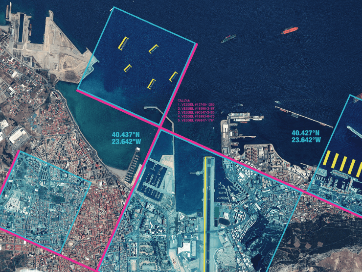
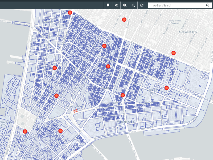
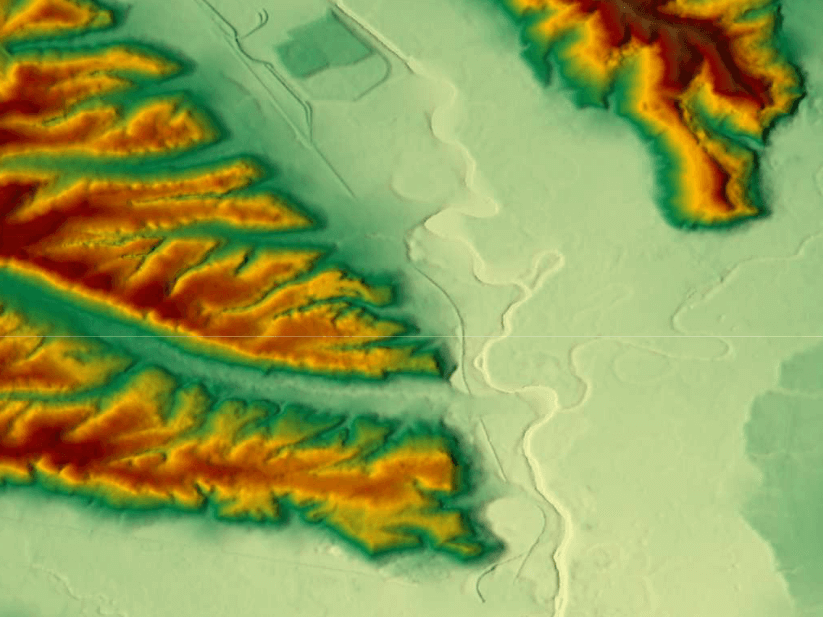
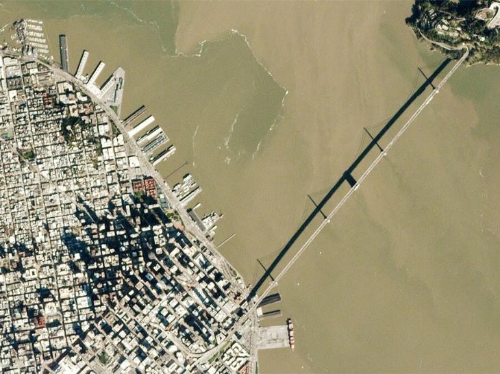
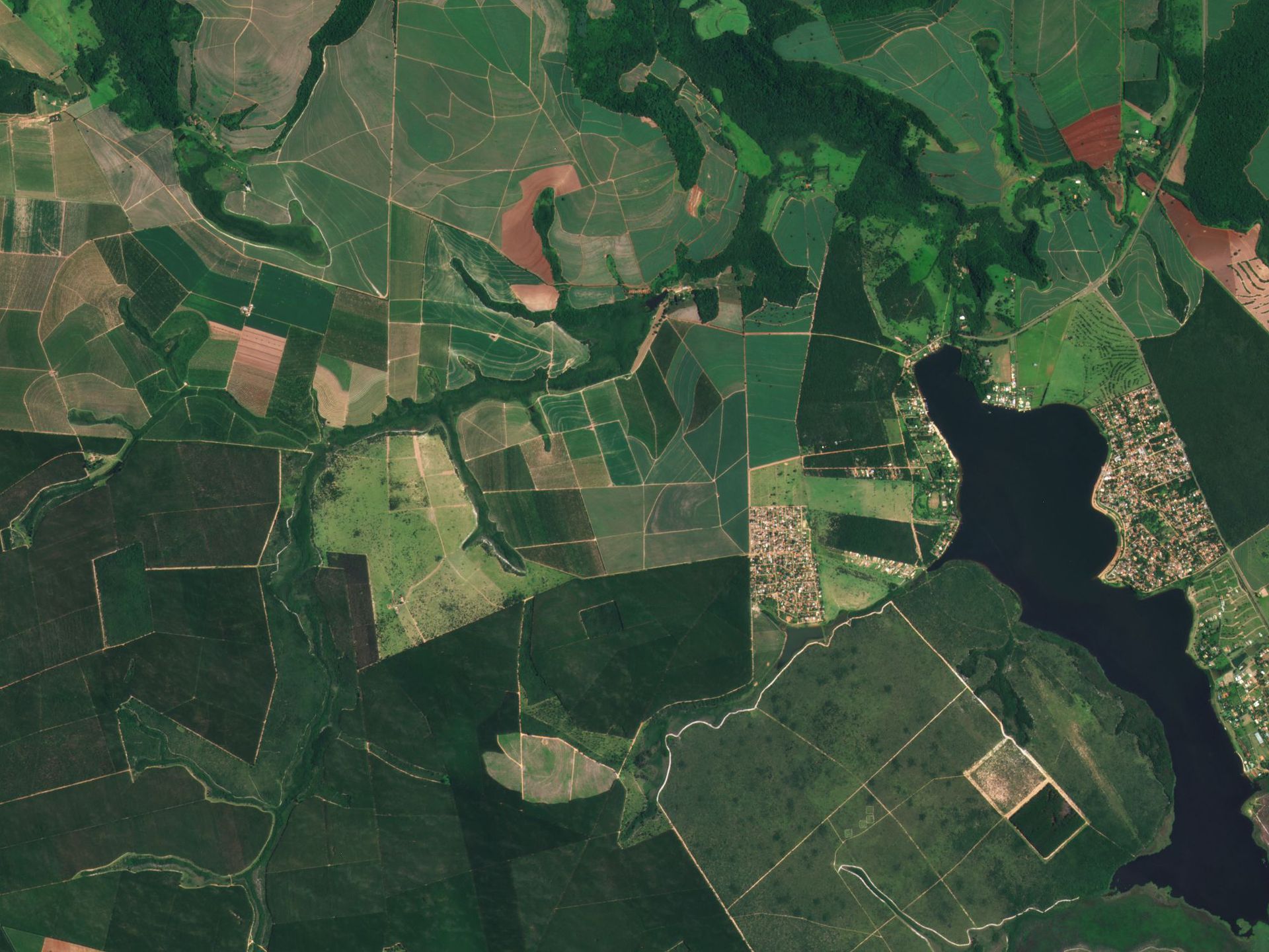
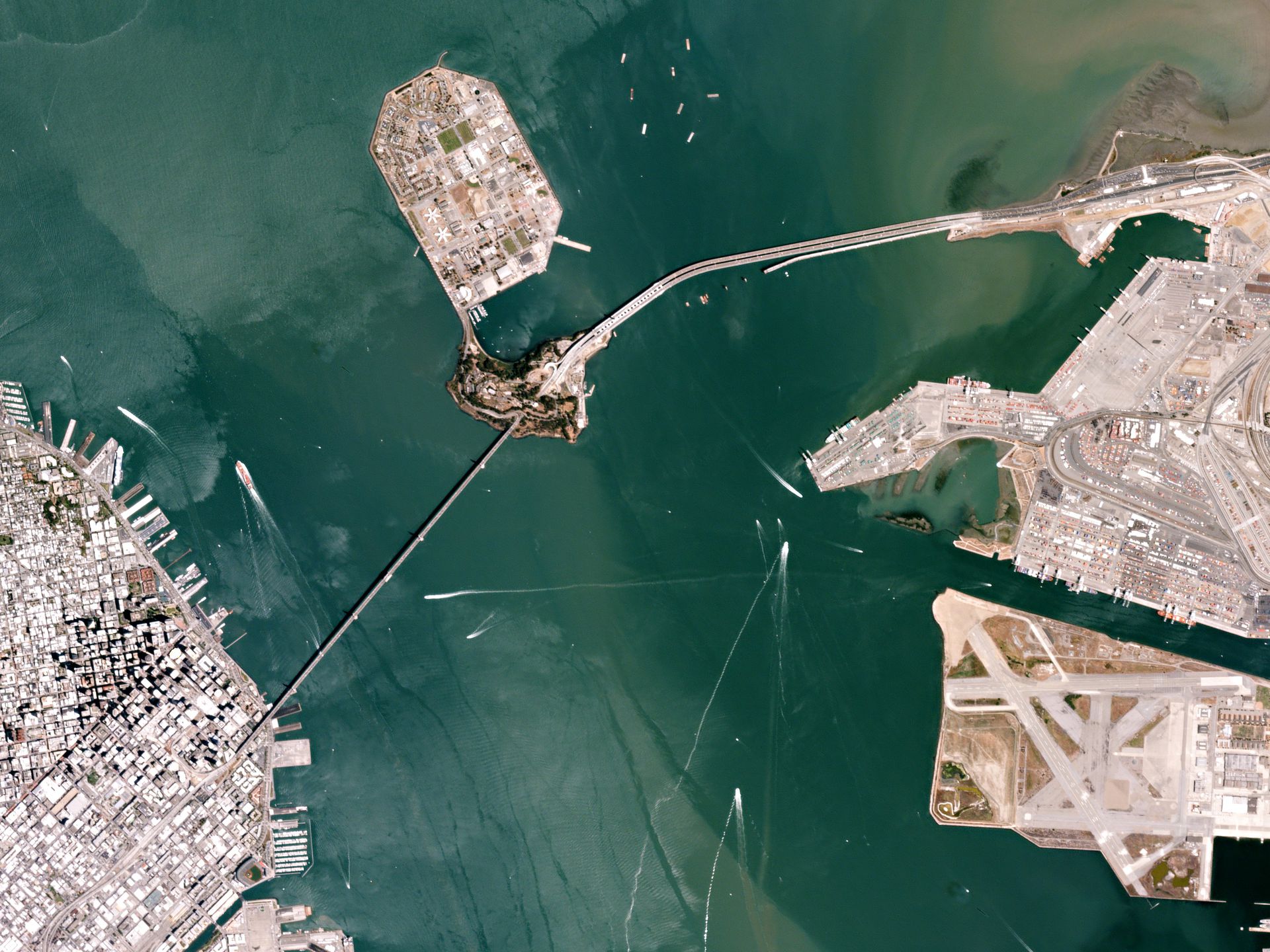
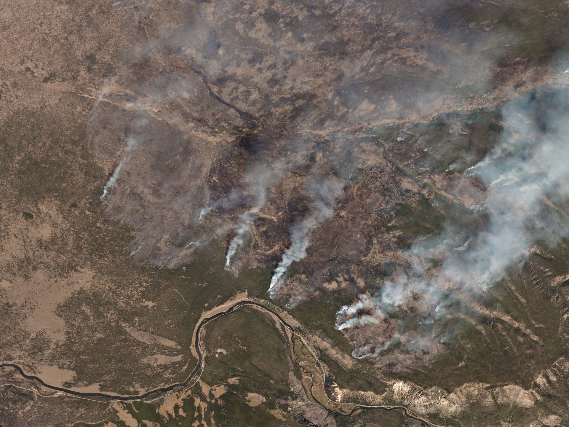
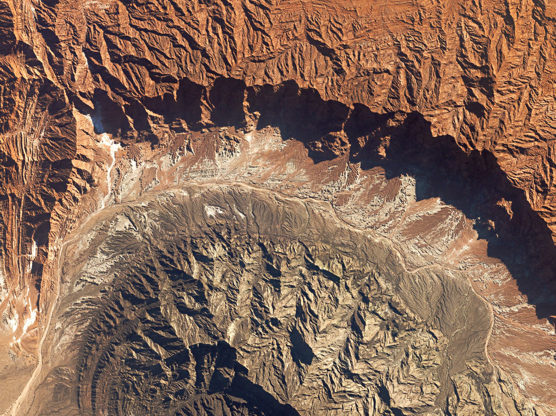
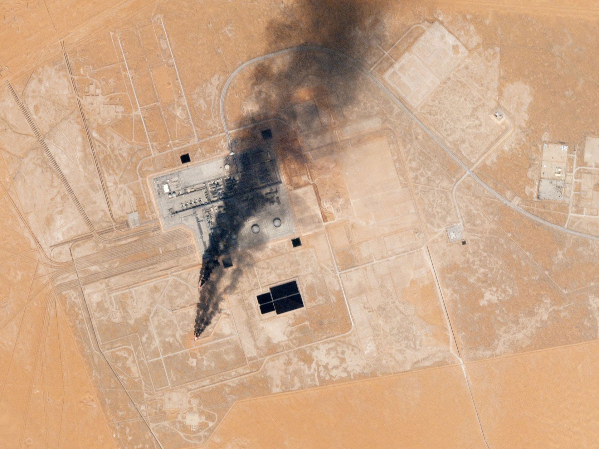
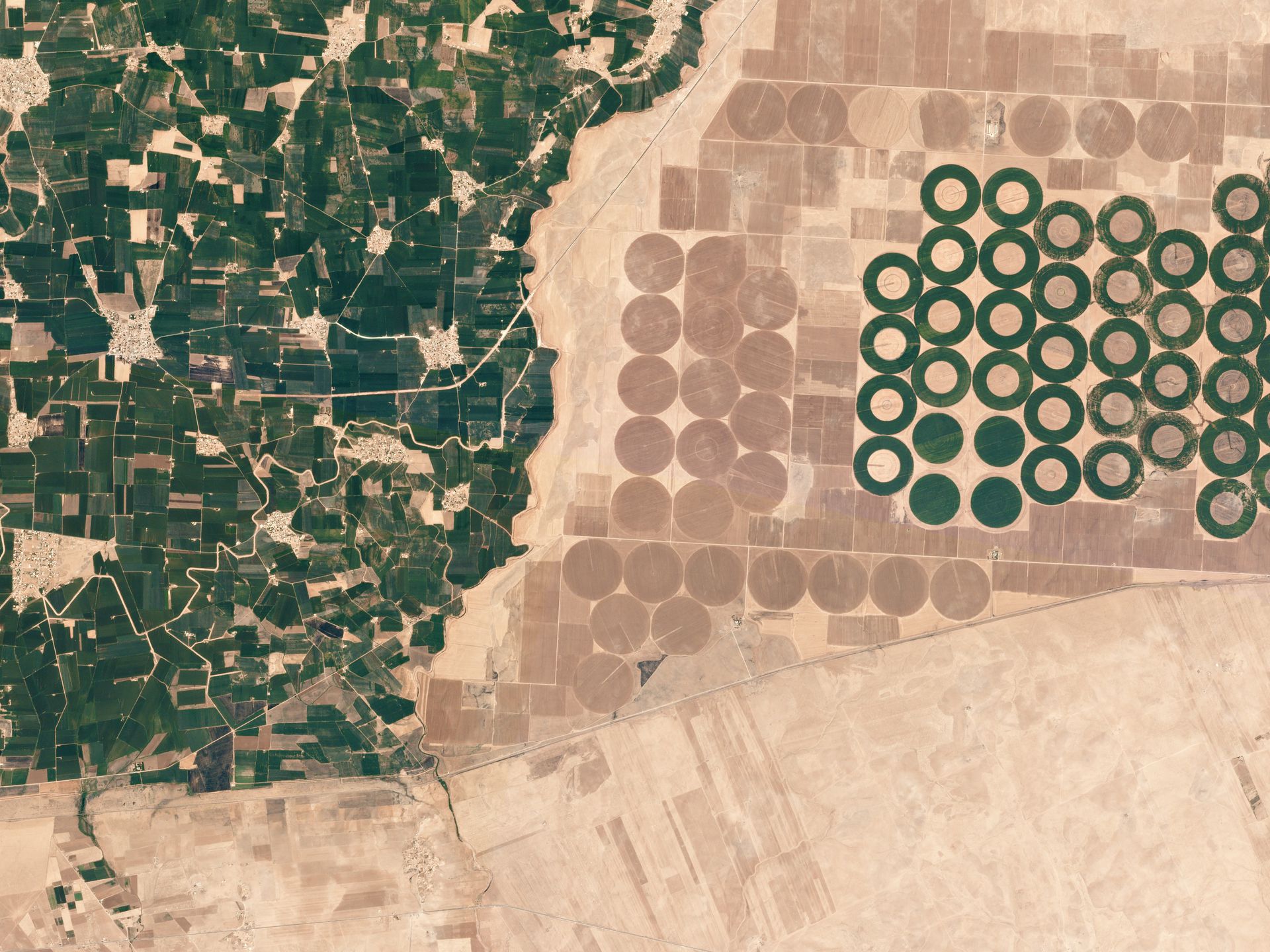
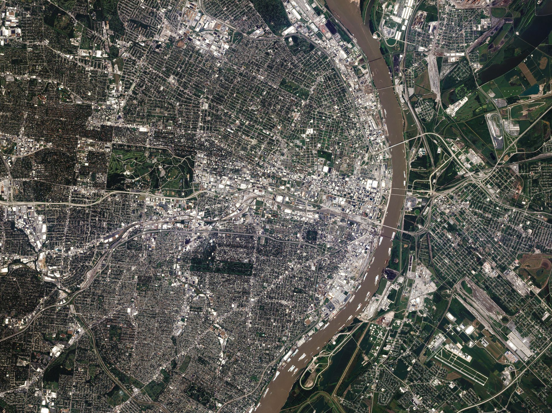
Gallery
Key features
Quick access to very high resolution imagery @ 3.0m
API to synchronize with any GIS platform
10+ billion km² of imagery
Multi-resolution optical archive
Daily basis update
OGC compliancy
Key applications

Agriculture
Assessment of crop damage and crop progress
Drought Monitoring
Crop yield modelling and estimation
Assessment of crop damage and crop progress
Drought Monitoring
Crop yield modelling and estimation

Infrastructure
Land use and change detection
Monitor construction sites
Creating a base map for visual reference
Land use and change detection
Monitor construction sites
Creating a base map for visual reference

Marine
Shallow waters water quality
Coastline monitoring
Shallow waters bathymetry
Shallow waters water quality
Coastline monitoring
Shallow waters bathymetry
FAQs
The PlanetScope L1 Basic Scene product is a Scaled Top of Atmosphere Radiance (at sensor) and sensor corrected product, without correction for any geometric distortions inherent in the imaging processes and is not mapped to a cartographic projection. The imagery data is accompanied by Rational Polynomial Coefficients (RPCs) to enable orthorectification by the user. This kind of product is designed for users with advanced image processing and geometric correction capabilities.
The PlanetScope L3 Ortho Scene product is radiometrically-, sensor- and geometrically- corrected and is projected to a cartographic map projection. The geometric correction uses fine Digital Elevation Models (DEMs) with a post spacing of between 30 and 90 meters.
Product components that are provided in a L1 PlanetScope image order are:
Image File (GeoTIFF format)
Metadata File (XML format)
Rational Polynomial Coefficients (XML format)
Thumbnail File (GeoTIFF format)
Unusable Data Mask UDM File (GeoTIFF format)
Usable Data Mask UDM2 File (GeoTIFF format)
Product components that are provided in a L3 PlanetScope image order are:
Image File (GeoTIFF format)
Metadata File (XML format)
Thumbnail File (GeoTIFF format)
Unusable Data Mask UDM File (GeoTIFF format)
Usable Data Mask UDM2 File (GeoTIFF format)
The official PlanetScope Product Guide by Planet Labs can be found here.
There is no minimum AOI for PlanetScope Archive data.
The minimum order for PlanetScope Archive data is €4,500.
When your order is ready, we will provide to you via email the credentials for accessing your purchased imagery.
In case more than one AOI is required, please contact us for a custom order tailored to your needs.
The EULA of PlanetScope Archive is under the authority of Planet Labs and can be found here.