Geo Insurance
Get the risks and the seasonal forecast, estimate the insured indexes and design precise and localized insurance products by fusing high-quality satellite and meteorological data on the blockchain. With Geo Insurance, you can avoid portfolio over-exposure to certain natural disasters.
Geo Insurance provides a suite of information that insurance companies, cooperatives, and farmers can use in order to perform informed discussions within their business flows and monitor on a daily basis the past and current conditions over a specific area.
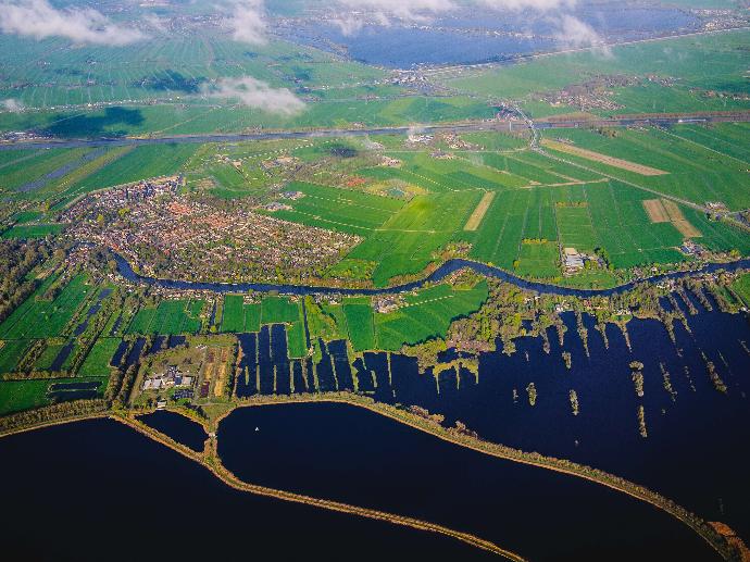
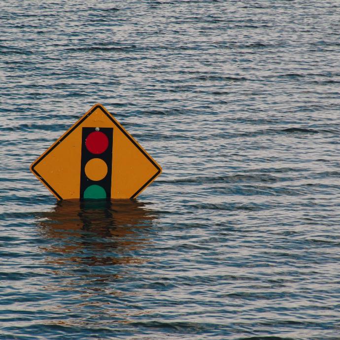
Geo Insurance calculates climatic variables and statistical descriptors (Temperature, Wind Speed, Rainfall), risks and probabilities (Overheat, Frost, Extreme Rainfall, Floods, Wildfires, Droughts) and insurance related indices (Consecutive dry/wet days, Ice/Precipitation/Frost/Summer days, Tropical Nights) based on satellite, weather and other geospatial data. All these data are downscaled to parcel level in order to provided localized underwriting information.
Specify the size and coordinates of the area of interest. Select the disaster type, the cultivated crop type and get the associated risks via API or user friendly Web App. Note any special requests in the 'Remarks' field in the Request Quote section, such as specific crop type, disaster type, different way of data provision.
Data Processing Level | L4 Modeled output or variables derived from multiple measurements |
Spatial Coverage | Global |
Temporal Coverage | Since 1980 (40+ years historical data) |
| Temporal Resolution | - Daily - Monthly - Yearly - All time |
| Climatic Variables | - Temperature - Wind Speed - Rainfall |
| Risks | - Overheat - Frost - Extreme Rainfall - Windstorm - Floods - Wildfire - Drought |
| Climate Indices | Consecutive dry/wet days, Ice/Precipitation/Frost/Summer days, Tropical Nights |
| Access Mode | Web app, API |
Key features
Fully parametric risk and index implementation
API synchronization with any ERP
40+ years of processed historical Earth Observation data
Information localized down to single parcel
Quick access to high-quality data with daily updates
Available for every natural disaster and crop type
Key applications

Insurance
Design tailored insurance products
Estimate portfolio exposure
Design tailored insurance products
Estimate portfolio exposure

Agriculture
Select the appropriate insurance based on risk estimation
Crop insurance prioritization
Secure crop yield
Select the appropriate insurance based on risk estimation
Crop insurance prioritization
Secure crop yield
Governments
Vulnerability mapping for regions and crop types
Efficient planning of CAP subsidies adjustments
Vulnerability mapping for regions and crop types
Efficient planning of CAP subsidies adjustments
FAQs
Yes. If you require a different data access mode, we can provide to you a custom solution adapted to your needs.
Yes! You can request multiple crop types.
There is no minimum AOI for Geo Insurance data.
The minimum order for Geo Insurance data is €2500.
When your order is ready, we will provide to you via email the credentials for accessing the Web App or API.
In case more than one AOI is required, please contact us for a custom order tailored to your needs.
The EULA of Geo Insurance is under the authority of Geo University and can be found here.