answr
Unlock the power of climatic and risk data analytics by gaining access to vast volumes of information derived from various sources!
With answr, you can seamlessly integrate this wealth of data into your existing systems and processes. Whether you are in the agriculture, insurance, government, or fintech industries, through an API, you can effortlessly retrieve answers and insights, ensuring a smooth data flow and minimizing the risk of errors. This streamlined integration will save you time and effort, allowing you to focus on leveraging the data for strategic purposes.
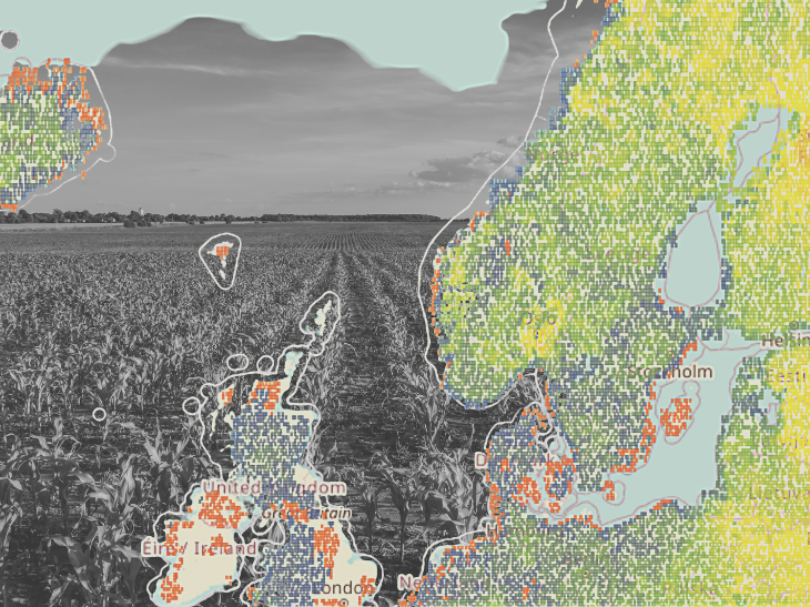
Gain a significant operational advantage by harnessing the power of more than 45 indicators derived from a meticulously compiled and processed dataset of geospatial and meteorological information spanning over 40 years. This extensive collection of data provides a comprehensive understanding of climate patterns, trends, and phenomena, enabling your business to make informed decisions and stay ahead of the curve.
Data Processing Level | L4 Modeled output or variables derived from multiple measurements |
Spatial Coverage | Global |
Temporal Coverage | Since 1978 (40+ years of historical data) |
| Data sources | - Sentinel-1 - Sentinel-2 - Sentinel-3 - Landsat 8 - Landsat 9 - MODIS - Global Surface Water - Flood Hazard Maps at European and Global Scale - AgERA5 - Soil moisture |
| Climatic Analytics | - cloud cover - consecutive dry days - consecutive frost days - consecutive summer days - consecutive wet days - dew point temperature - frost days - heating days - ice days - maximum temperature - mean temperature - minimum temperature - precipitation days (10mm) - precipitation days (20mm) - precipitation days (50mm) - precipitation flux - snow thickness - solar radiation - volumetric soil moisture - Köppen–Geiger Zones - Universal Thermal Climate Index |
| Natural Disasters | - Cold wave probability - Drought probability - Flood severity - Heat wave probability - Windstorm probability - Wildfire probability - Extreme heat probability - Extreme cold probability |
| Integrations | - Zapier - Make (formely Integromat) |
| Access Mode | Web app, API |
Key features
More than 40 years of historical Earth observation data that has been analyzed to create reliable models
Combination of satellite, meteorological, and other geospatial data downscaled to point-level for delivering localized underwriting information
Continuous data management and updates for ensuring rapid access to high-quality data
Seamless integration in any ERP, asset management, GIS platforms, and other applications via API
Available for every natural disaster including drought, cold wave, heat wave, flood, windstorm, wildfires, and more
Information localized down to a single parcel for every crop type
Key applications

Insurance
Enhance underwriting decisions
Improve ESG or climate-related (TCFD) risk management
Disaster risk management (DRM) and mitigation
Enhance underwriting decisions
Improve ESG or climate-related (TCFD) risk management
Disaster risk management (DRM) and mitigation

Agriculture
Vulnerability mapping for regions and crop types
Efficient planning of CAP subsidies adjustments
Enhance existing agricultural disaster risk management models
Vulnerability mapping for regions and crop types
Efficient planning of CAP subsidies adjustments
Enhance existing agricultural disaster risk management models

Governments
Improved risk analysis and vulnerability assessments
Regional disaster risk estimation for budgeting mechanism assessments
Predict and reduce financial impact of a potential disaster
Improved risk analysis and vulnerability assessments
Regional disaster risk estimation for budgeting mechanism assessments
Predict and reduce financial impact of a potential disaster
FAQs
Yes! The free trial is on demand and with limited access to the analytics. Contact us to learn more.
The pricing depends on the following parameters:
hectares and location
selected disaster(s) and crop types
duration of monitoring
Yes. If you require a different data access mode, we can provide you with a custom solution adapted to your needs.
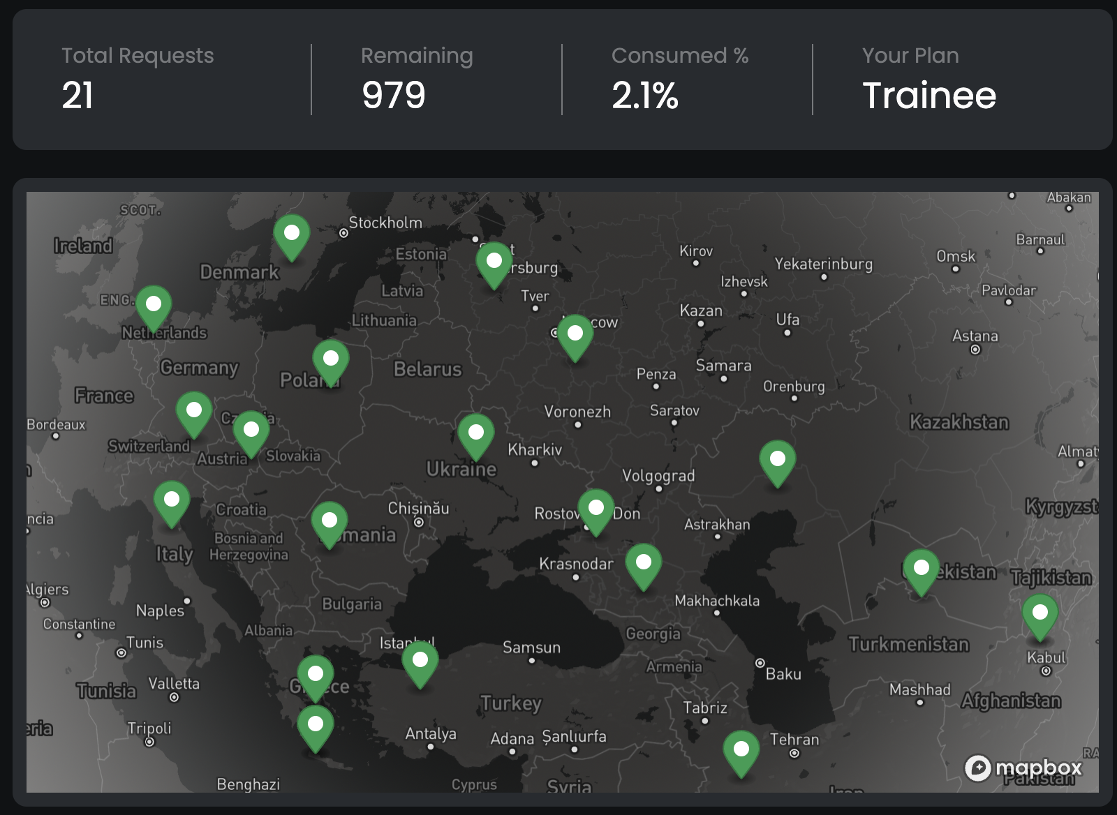
Every time you make an API call, it counts as one request. If you reach the request limit within the monitoring period, the exceeding requests will be blocked.
If you purchased a plan and need access to more requests, feel free to contact us and reach to a solution.
You can access the answr documentation here.
You can upgrade, downgrade or cancel your current plan depending on your current contract. Contact us for more information.
The EULA of answr is under the authority of cloudeo and can be found here.