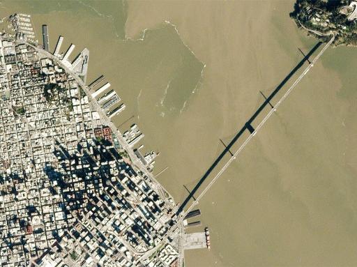
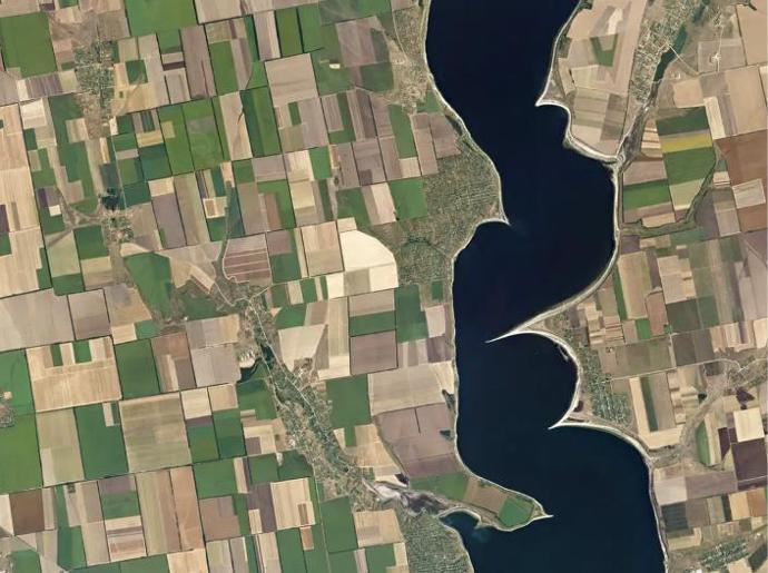
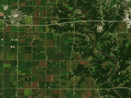
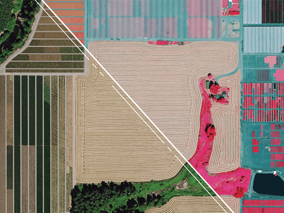
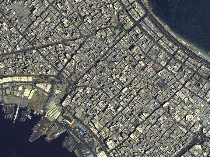
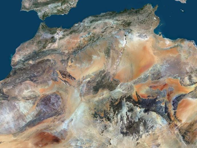
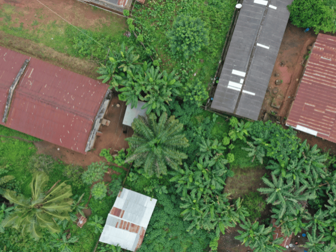
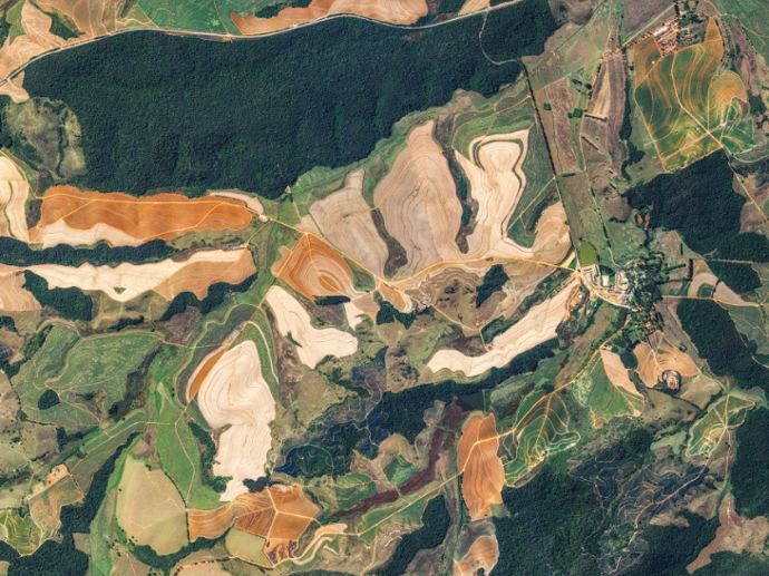
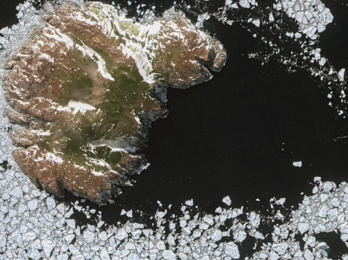
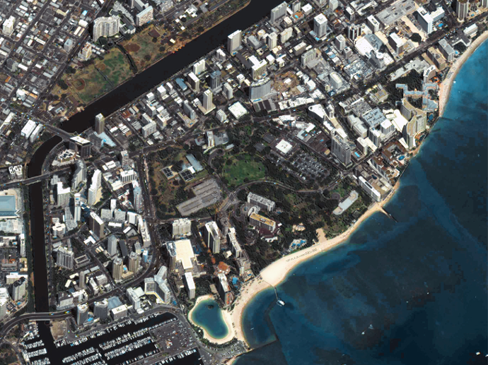
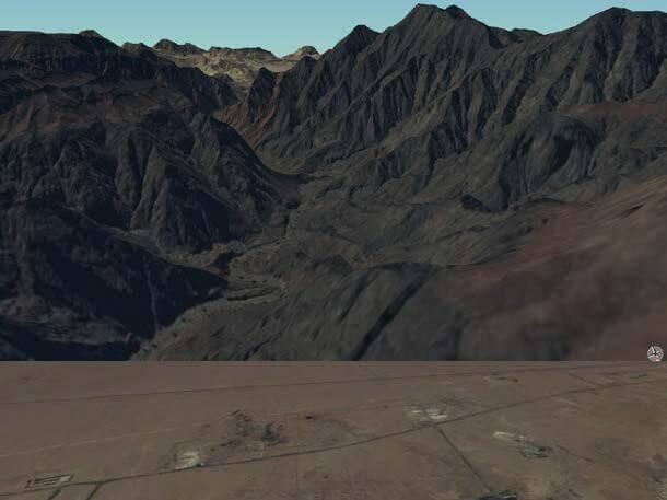
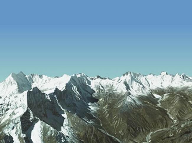
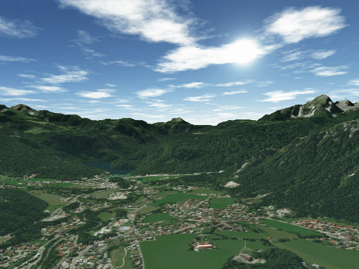
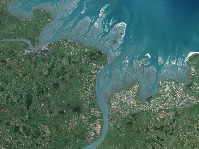
Multispektrale Bilder
Hier finden Sie die besten Satellitenbilder in verschiedenen räumlichen, zeitlichen und radiometrischen Auflösungen, die für eine Vielzahl von Erdbeobachtungsanwendungen geeignet sind: von der Landwirtschaft bis hin zu städtischen Anwendungen und von der Forstwirtschaft bis hin zu maritimen Bereichen.
Pléiades Neo
Beginnt ab 450€
Satellogic - Multispectral
Beginnt ab 300€
Planet Basemaps
Beginnt ab 500€
PlanetScope Archive
Beginnt ab 4500€
PlanetScope Monitoring
Beginnt ab 4500€
SkySat Archive
Beginnt ab 4500€
SkySat Flexible Tasking
Beginnt ab 4500€
OneAtlas Living Library
Beginnt ab 1200€ / Jahr
Pléiades
Beginnt ab 250€
SPOT 6/7
Beginnt ab 90€
Hexagon Pixel Delivery
Beginnt ab 86€
Hexagon Streaming Service
Beginnt ab 645€
21AT Basemaps / LAM
Beginnt ab 1000€
PlanetSAT Basemap
Beginnt ab 350€

PlanetObserver Online Map Services
Beginnt ab 1238€
Data Library
Drone Tasking
KOMPSAT-2
Beginnt ab 100€
KOMPSAT-3
Beginnt ab 200€
KOMPSAT-3A
Beginnt ab 200€
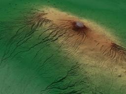
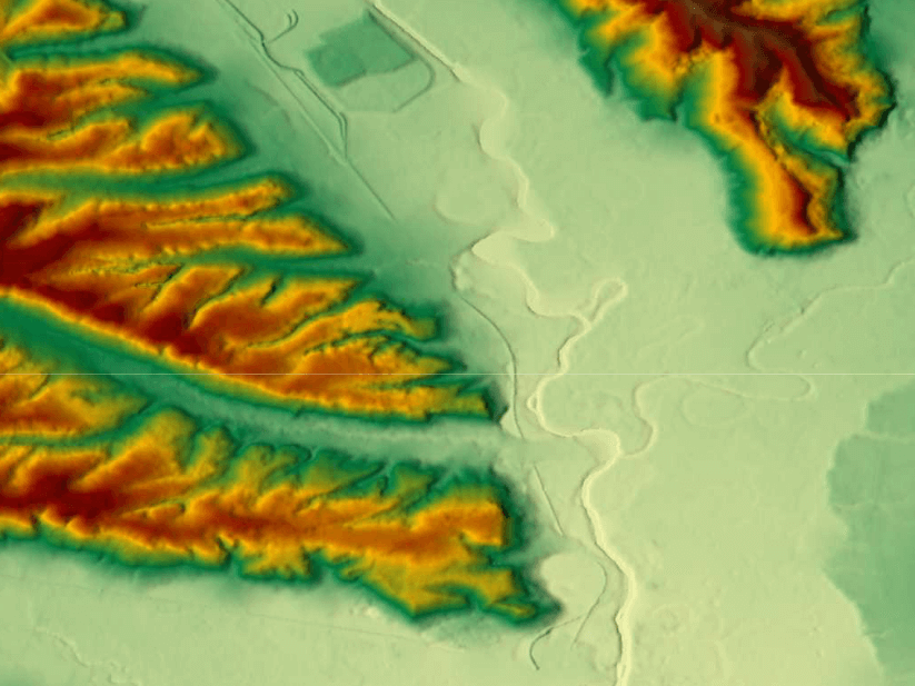
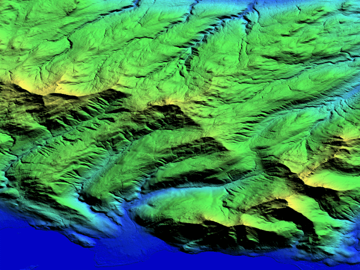
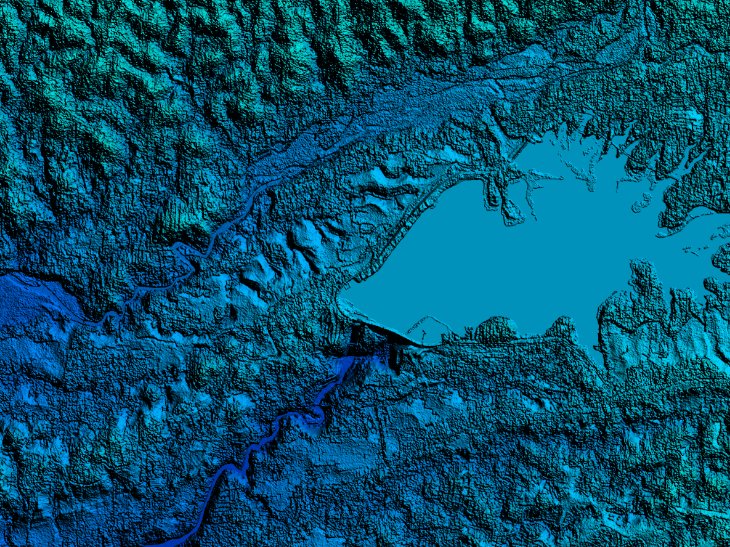
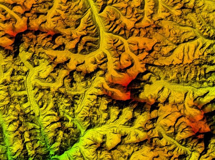
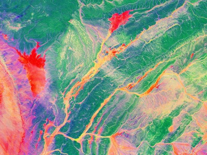
Höhenmodelle
Digitale Höhen- oder Geländemodelle mit hoher Auflösung für beispielsweise hydrologische Anwendungen, Orthorektifizierung von Bildern oder Reliefkartierung.
WorldDEM™ Neo
Beginnt ab 900€
WorldDEM™
Beginnt ab 300€
Elevation 1
Verbessern Sie Ihre Anwendungen mit einem Höhenmodell mit einer Auflösung von nur 1m überall auf der Welt, unabhängig von Relief und Wetterbedingungen.
Beginnt ab 5500€
Elevation 4
Beginnt ab 2500€
Elevation 8
Beginnt ab 8000€
Elevation 30
Beginnt ab 1150€
Lido Surface Data NEXTView
Beginnt ab 1000€
NEXTMAP One™
Beginnt ab 500€
NEXTMap World 10
Beginnt ab 2150€
Hexagon Pixel Delivery
Beginnt ab 86€
PlanetDEM
PlanetObserver
Greifen Sie auf zuverlässige 30-Meter- und 90-Meter-Höhendaten zu, die auf DTED-Standards basieren und genaue Analysen gewährleisten - ideal für zivile und militärische Kartierungs- und Simulationslösungen!
Beginnt ab 350€
PlanetObserver Online Map Services
Beginnt ab 1238€
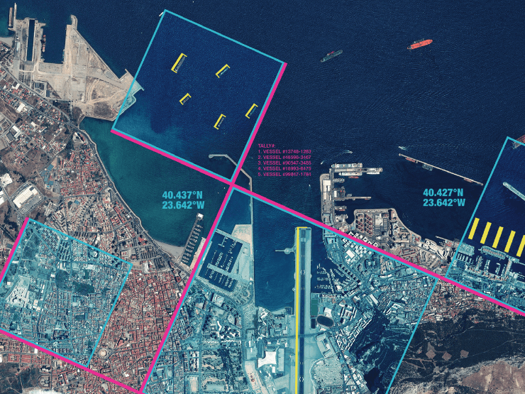
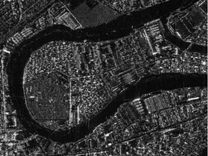
Radar Bilder
Radar-Daten (Synthetic Aperture Radar), die sich ideal für Verteidigungsanwendungen oder die Überwachung von Verschiebungen auf der Erdoberfläche eignen. Sie können zudem für die Erstellung digitaler Höhenmodelle verwendet werden.
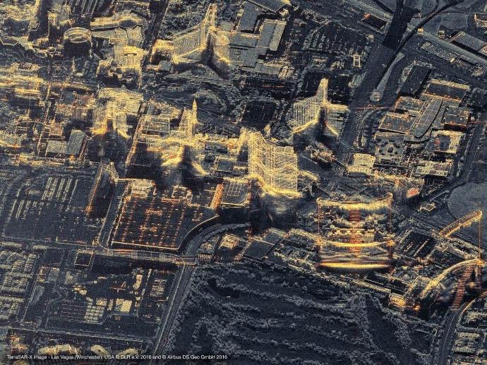
TerraSAR-X
Beginnt ab 875 €
KOMPSAT-5
Beginnt ab 700 €
Hyperspektrale Bilder
Satellogic - Hyperspectral
Beginnt ab 450 €
Video und Nachtbilder
Full Motion Video
Beginnt ab 2280 €
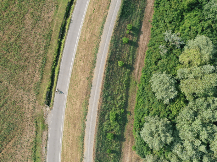
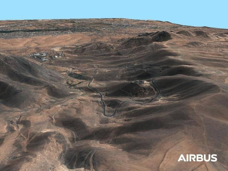
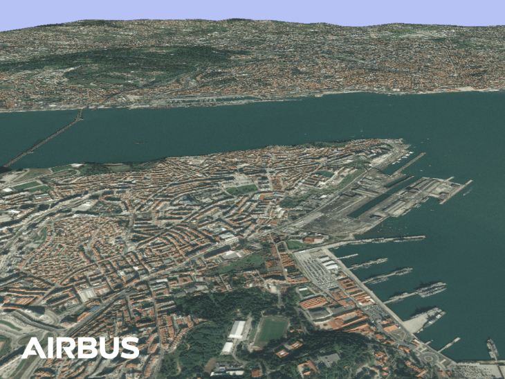
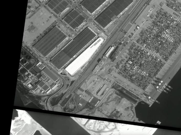
Luftbild- und Drohnendaten
Entdecken Sie die Möglichkeiten von Luft- und Drohnenbildern mit ultrahoher Auflösung!
Drone Tasking
Data Library
Hexagon Pixel Delivery
Beginnt ab 86€
Hexagon Streaming Service
Beginnt ab 645€
Weather Data


Global Weather Forecast API
Earth Intelligence Data
Data as a Service
Unter “Data as a Service“ können Sie eine Vielzahl an hochwertigen Geodatensätzen entdecken. Mit einem vereinfachten und gesicherten Zugang finden Sie die Lösung, die Sie brauchen - von Raster-/Vektor-Rohdaten bis hin zu kuratierten thematischen Karten, Informationen und Analysen.