RapidEye
The image comes in two processing levels:
- Basic Scene (L1) has no additional enhancements and is designed for customers with advanced image processing capabilities and a desire to geometrically correct the product themselves
- Ortho Scene (L3) has been geographically corrected and processed to remove distortions.
This product is an one-time imagery download. Please specify the number of images you need over your AOI, as well as the archive date range. Please make any special requests in the remarks field, such as cadence, angle of incidence, and cloud cover. There is a minimum AOI corridor width of 10 km. Please note the minimum purchase of €4,500.00.
Please note: RapidEye imagery is no longer captured after 31/3/2020.
Some general info for the RapidEye constellation:
Launch | RapidEye 1-5: 28 August 2008 |
Orbit | 630 km in Sun-synchronous orbit |
Spectral bands | Blue: 440 – 510 nm Green: 520 – 590 nm Red: 630 – 685 nm Red Edge: 690 – 730 nm NIR: 760 – 850 nm |
| Spatial resolution | Basic: 6.5m at Nadir Ortho: 5.0m |
| Radiometric resolution | 16 bit |
| Geometric precision | <10 m RMSE |
| Revisit time | Daily (off-nadir) / 5.5 days (at nadir) |
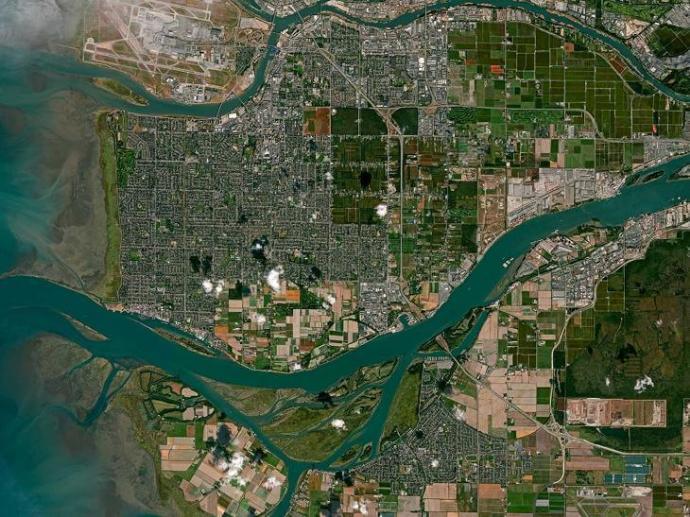
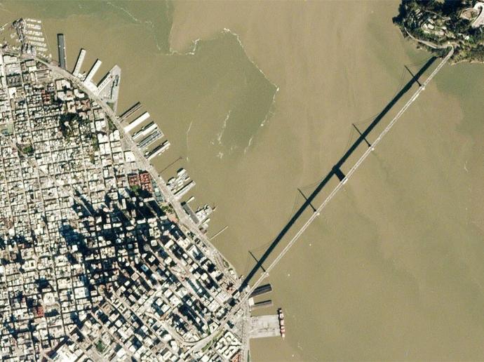
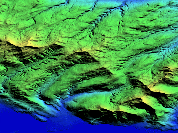
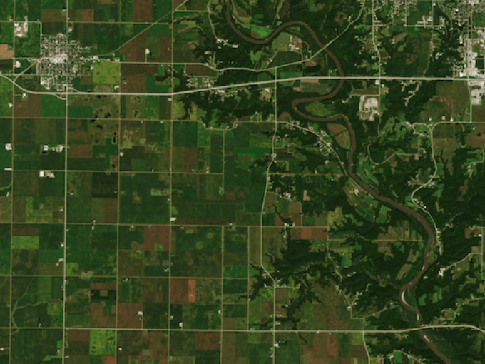
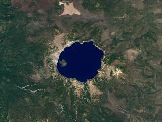
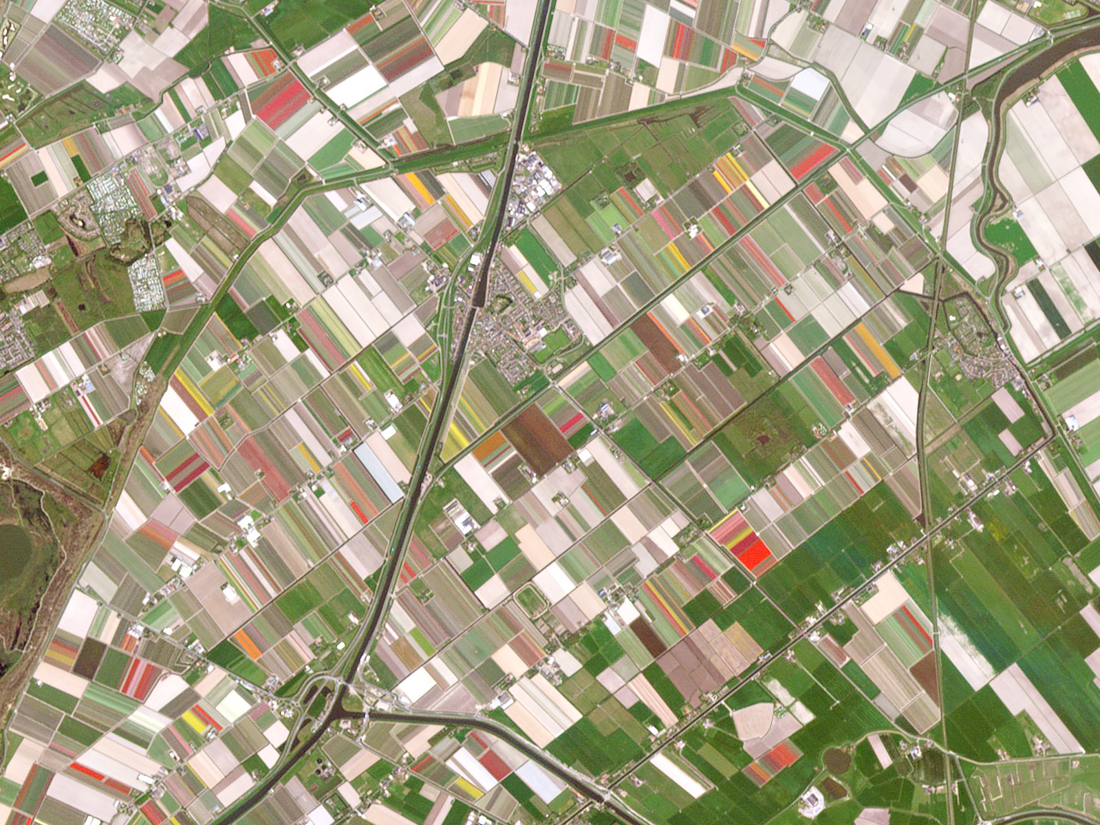
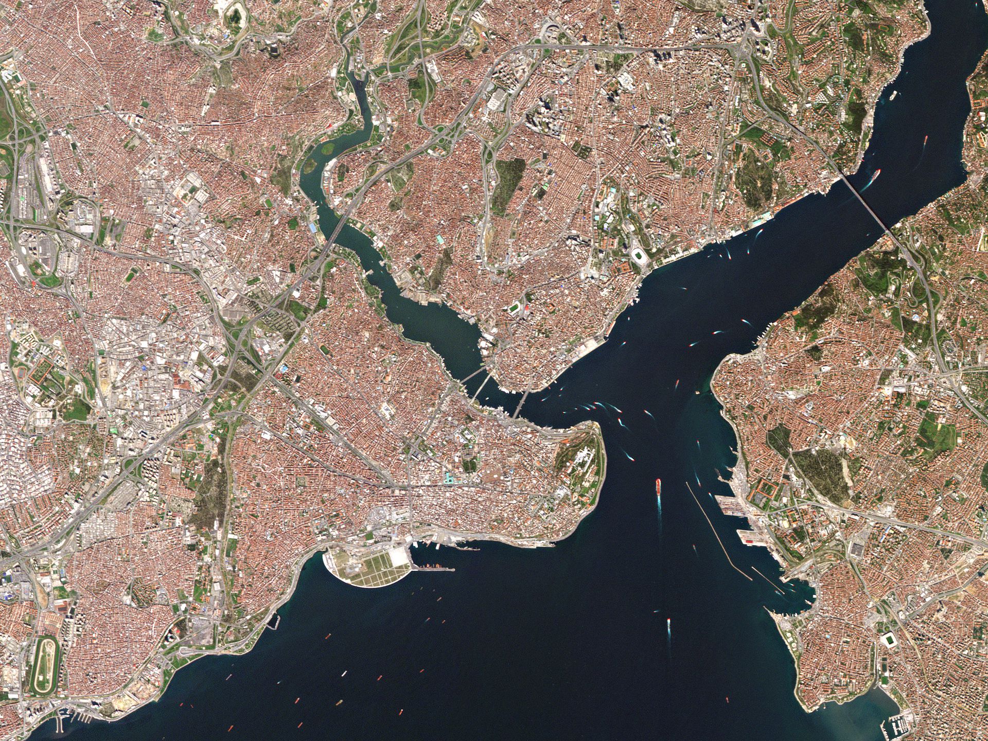
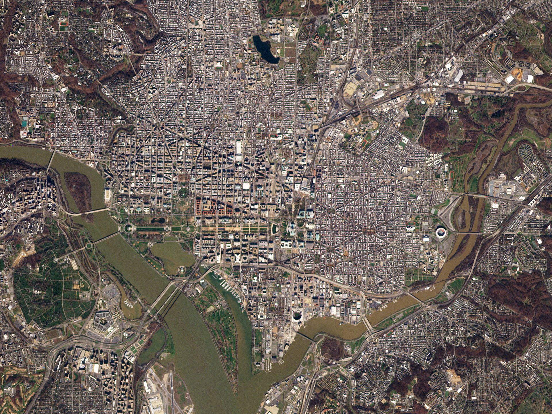
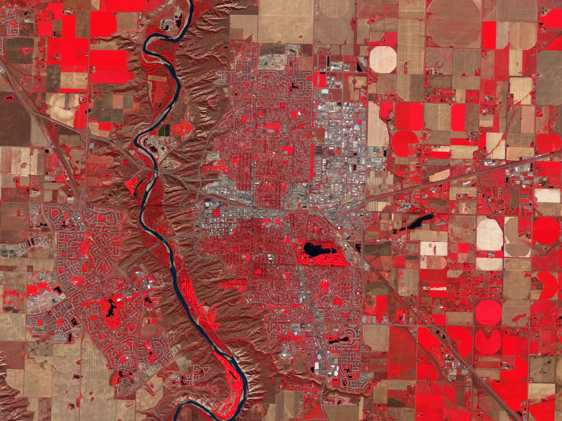
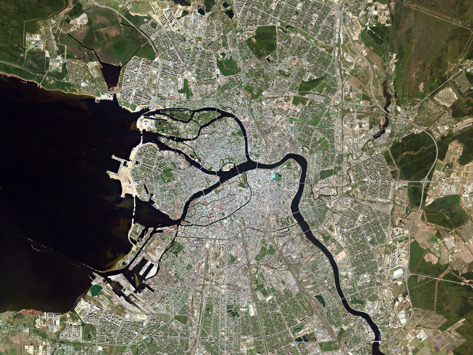
Gallery
Key features
Access to high resolution imagery at 5.0m
5 spectral bands available (blue, green, red, red edge, near infrared)
5 million km² of imagery per day
Orthorectified and color-corrected imagery
11 years of imagery archive (2009 to 2020)
OGC compliancy
Key applications

Agriculture
Assessment of crop damage
Crop condition analysis and stress detection
Forecast production yield
Assessment of crop damage
Crop condition analysis and stress detection
Forecast production yield

Forestry
Vegetation monitoring in complex ecosystems
Burned and flooded forest mapping/monitoring
Forest tree species mapping
Vegetation monitoring in complex ecosystems
Burned and flooded forest mapping/monitoring
Forest tree species mapping

Marine
Shallow waters water quality
Coastline monitoring
Shallow waters seafloor mapping
Shallow waters water quality
Coastline monitoring
Shallow waters seafloor mapping
FAQs
The RapidEye L1 Basic Scene product is a Scaled Top of Atmosphere Radiance (at sensor) and sensor corrected product, without correction for any geometric distortions inherent in the imaging processes and is not mapped to a cartographic projection. The imagery data is accompanied by Rational Polynomial Coefficients (RPCs) to enable orthorectification by the user. This kind of product is designed for users with advanced image processing and geometric correction capabilities.
The RapidEye L3 Ortho Scene product is radiometrically and sensor corrected. Imagery is orthorectified using the RPCs and an elevation model. This product was designed for a wide variety of applications that require imagery with an accurate geolocation and cartographic projection for many cartographic purposes.
Product components that are provided in a L1 RapidEye image order are:
Image File – Image product delivered as a group of single-band NITF or GeoTIFF files with associated RPC values. Bands are co-registered
Metadata File – XML format metadata file and GeoJSON metadata available
Unusable Data Mask (UDM) File – GeoTIFF format
Spacecraft information (SCI) file - XML format and contains additional information related to spacecraft attitude, spacecraft ephemeris, spacecraft temperature measurements, line imaging times, camera geometry, and radiometric calibration data
Browse Image - GeoTIFF format (also referred to as “Quicklook”)
Product components that are provided in a L3 RapidEye image order are:
Image File – GeoTIFF file that contains image data and geolocation information
Metadata File – XML format metadata file and GeoJSON metadata available
Unusable Data Mask (UDM) File – GeoTIFF format
There is no minimum AOI for RapidEye Archive data. However, there is a minimum AOI corridor width of 10 km.
The minimum order for RapidEye Archive data is €4,500.
When your order is ready, we will provide to you via email the credentials for accessing your purchased imagery.
In case more than one AOI is required, please contact us for a custom order tailored to your needs.
The EULA of RapidEye Archive is under the authority of Planet Labs and can be found here.