Pléiades
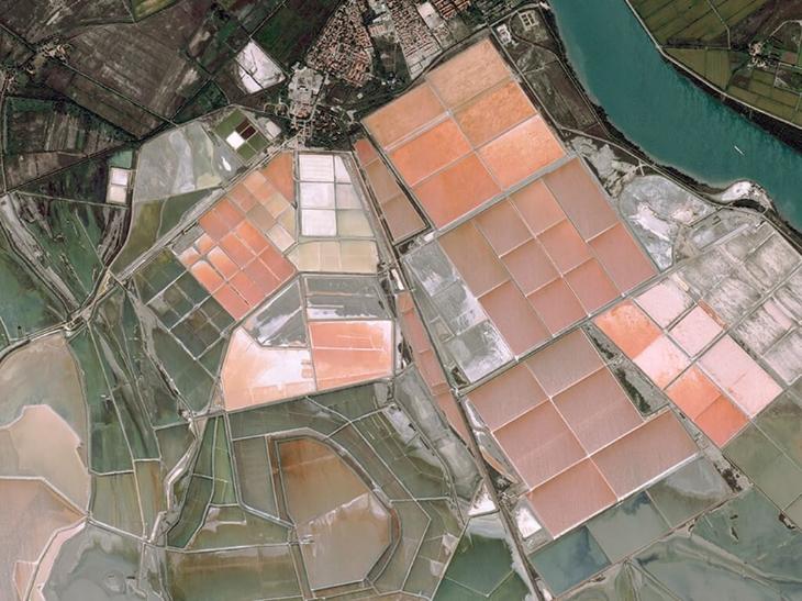
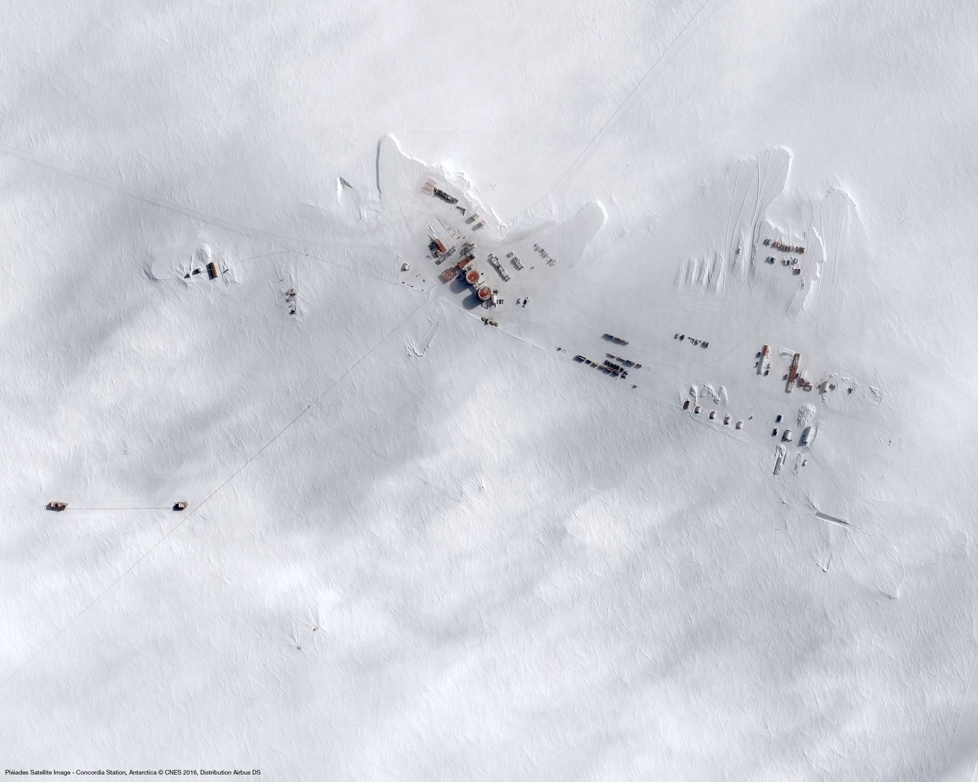
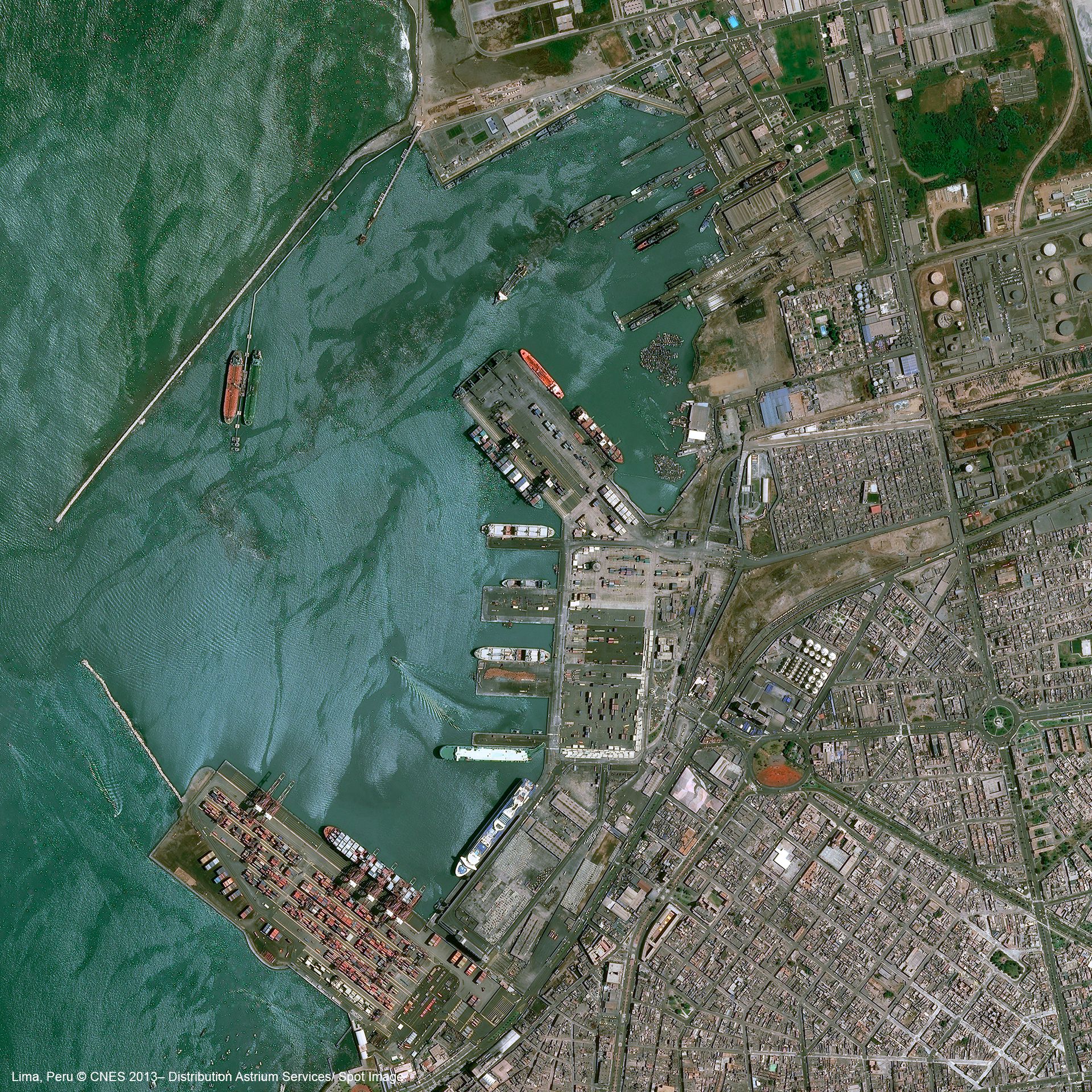
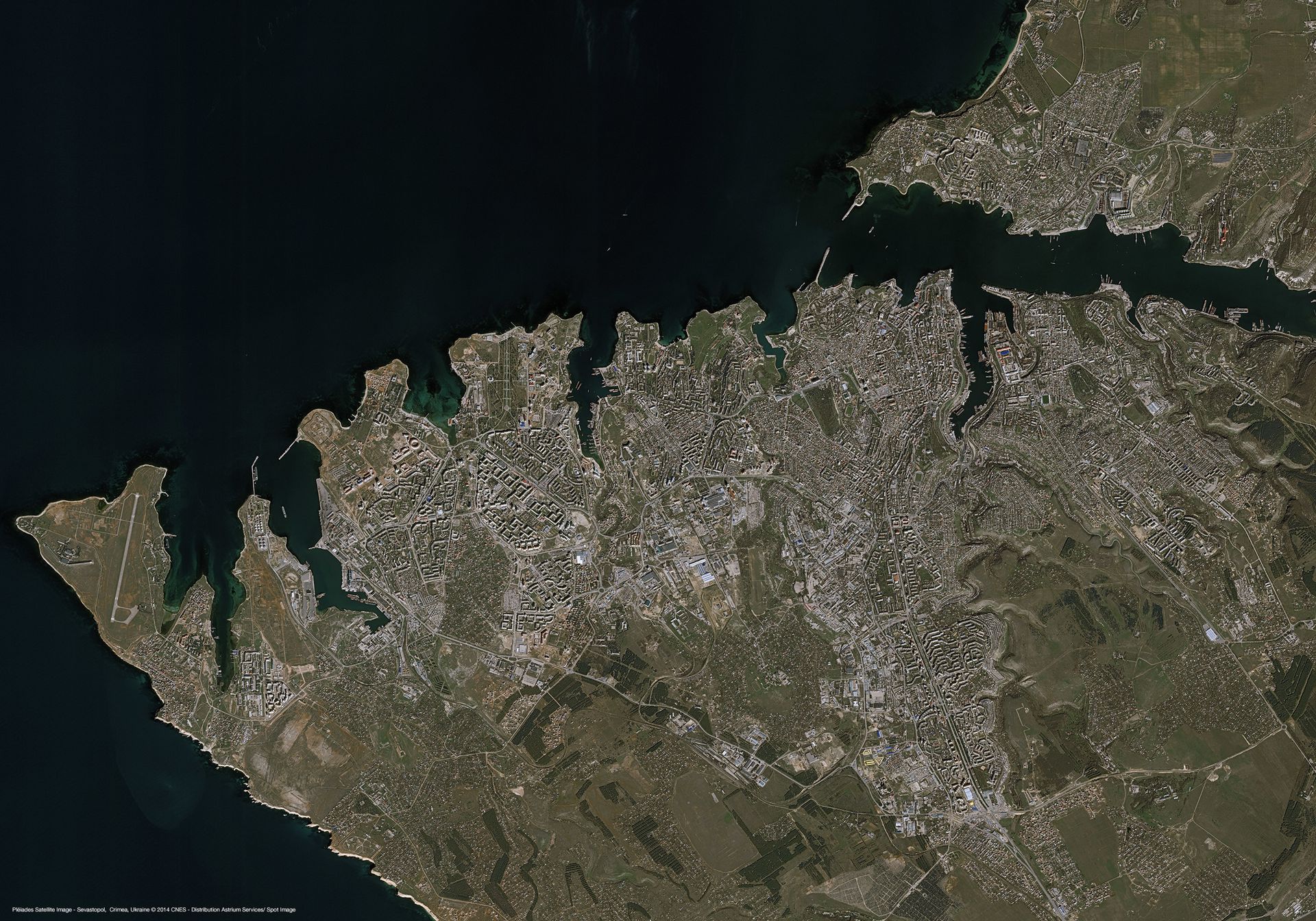
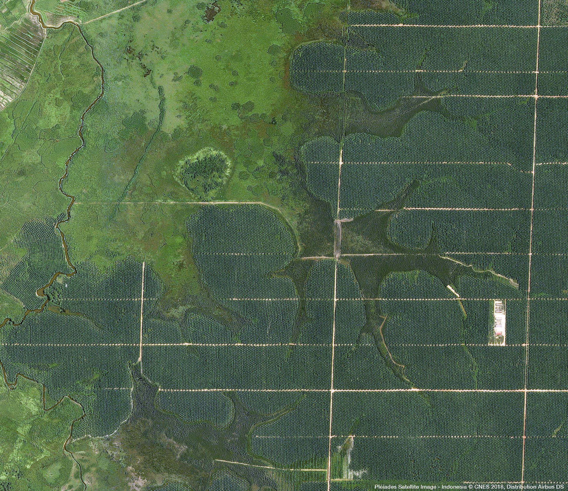
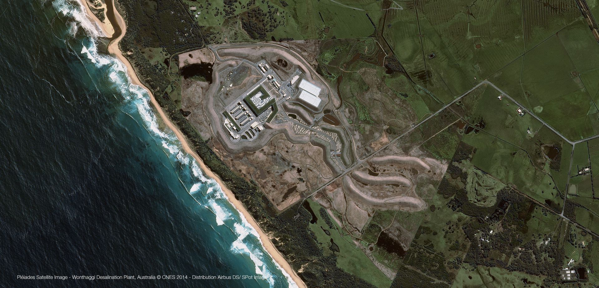
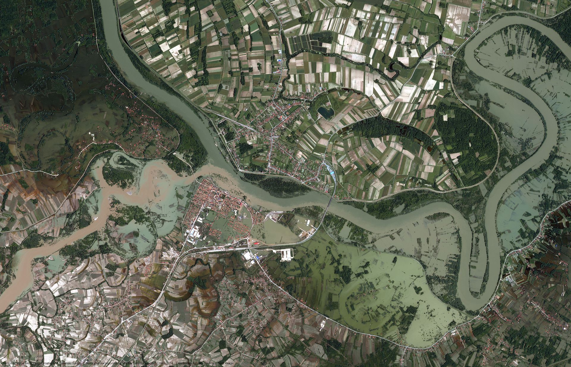
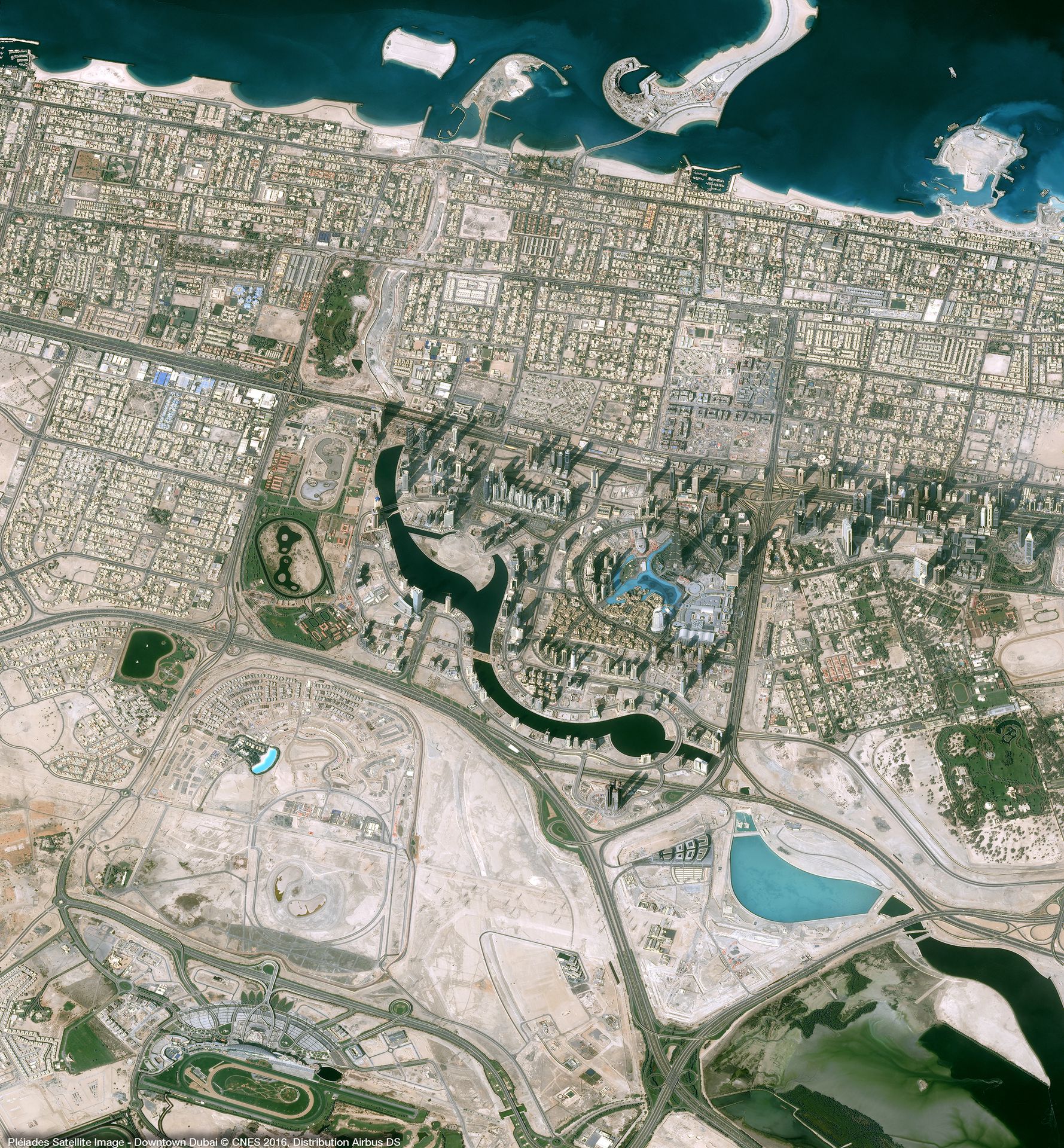
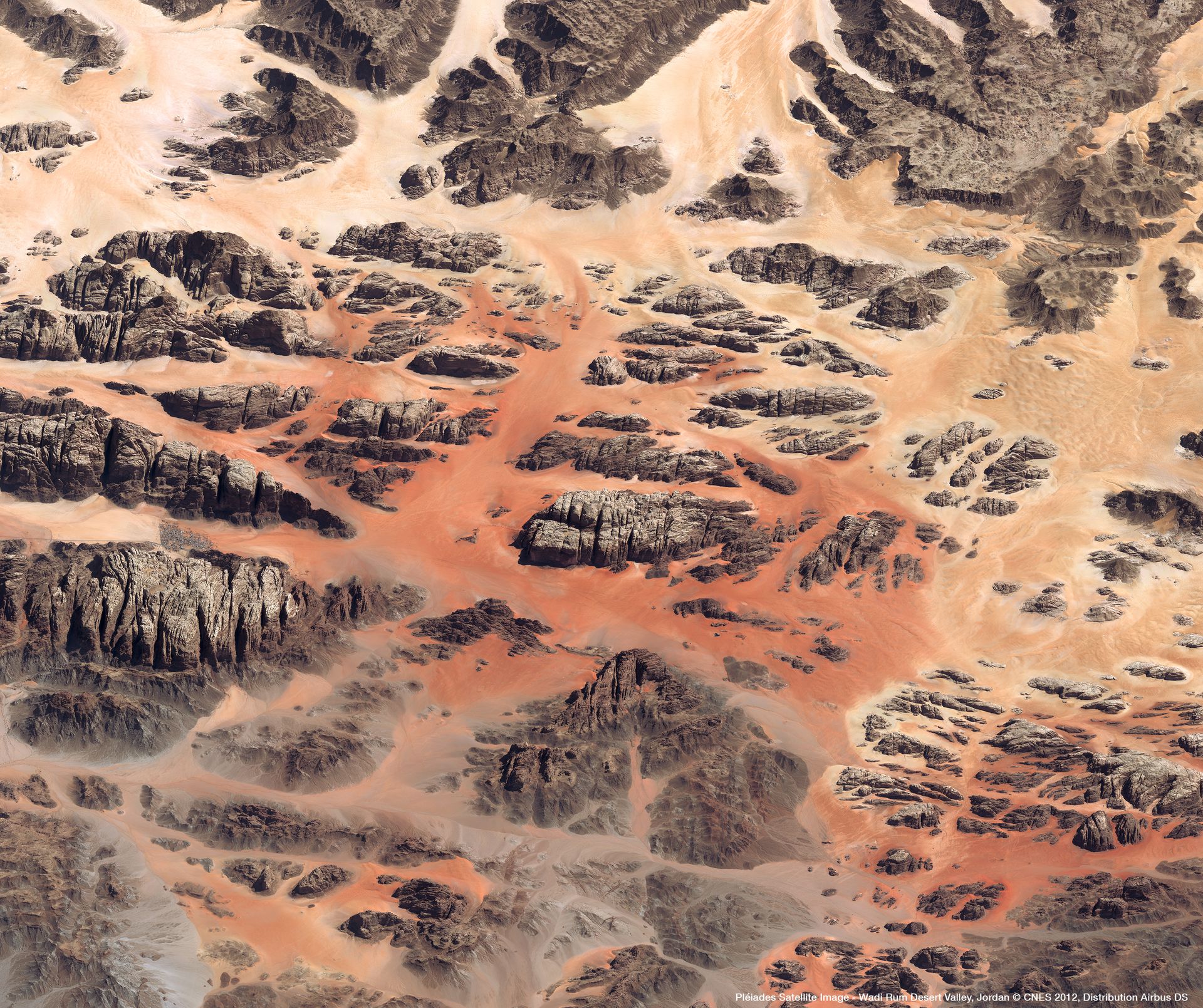
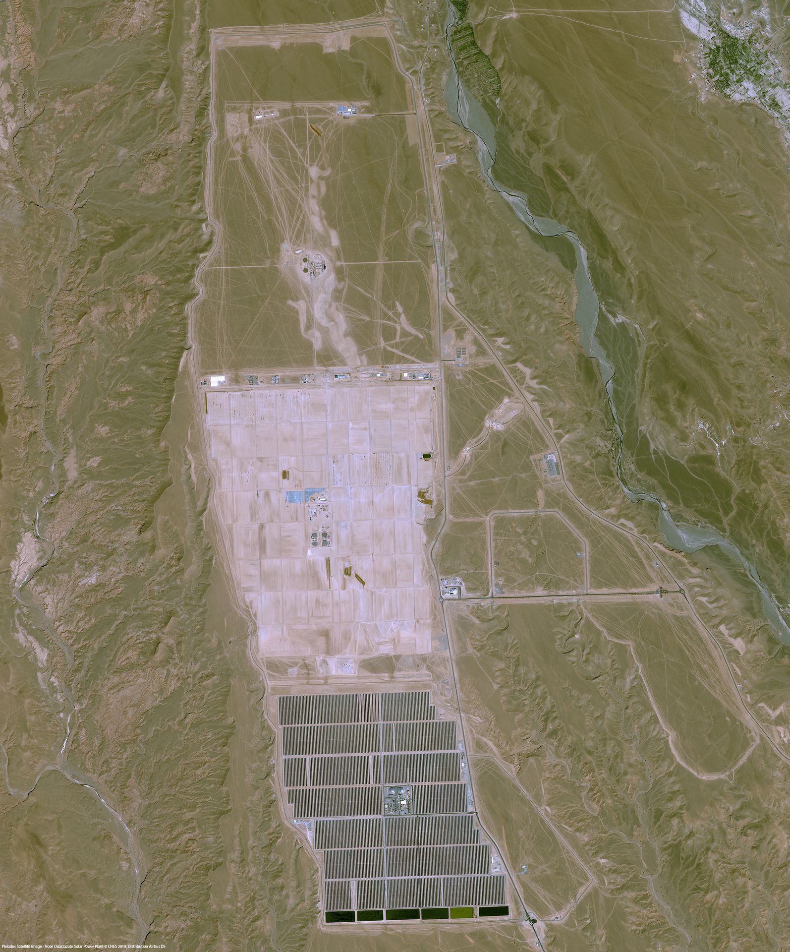
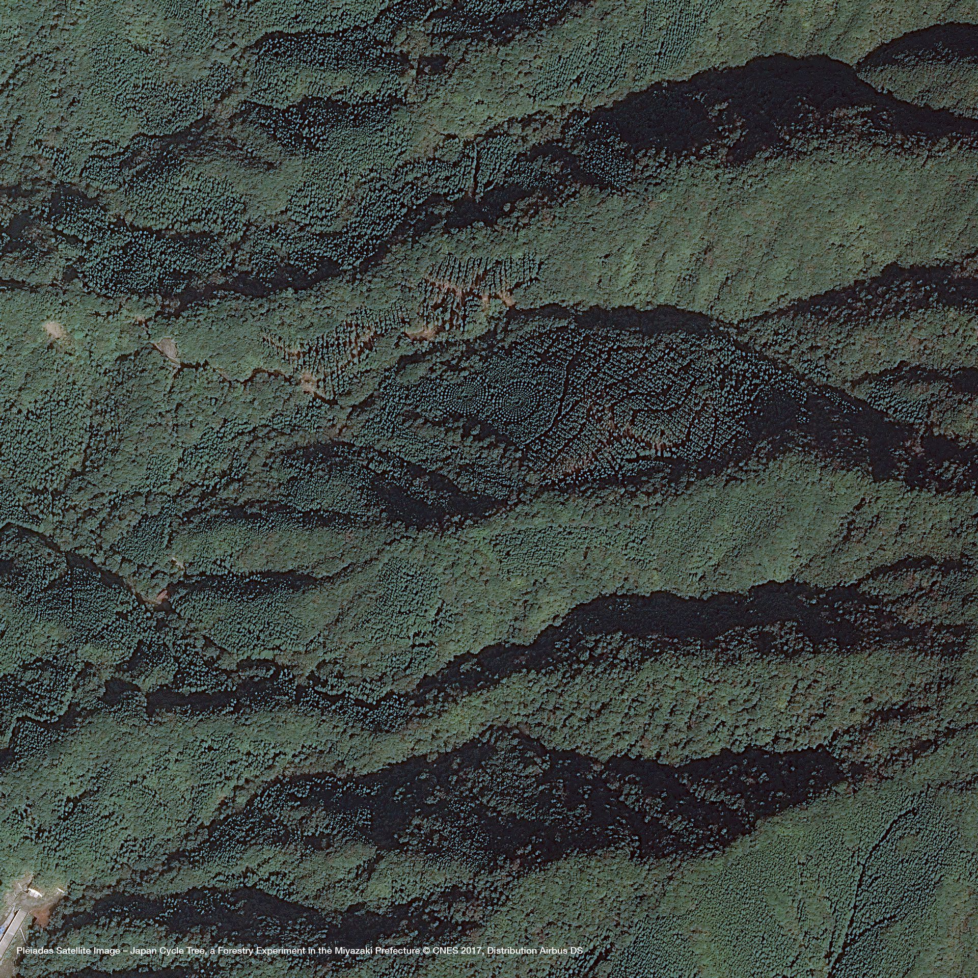
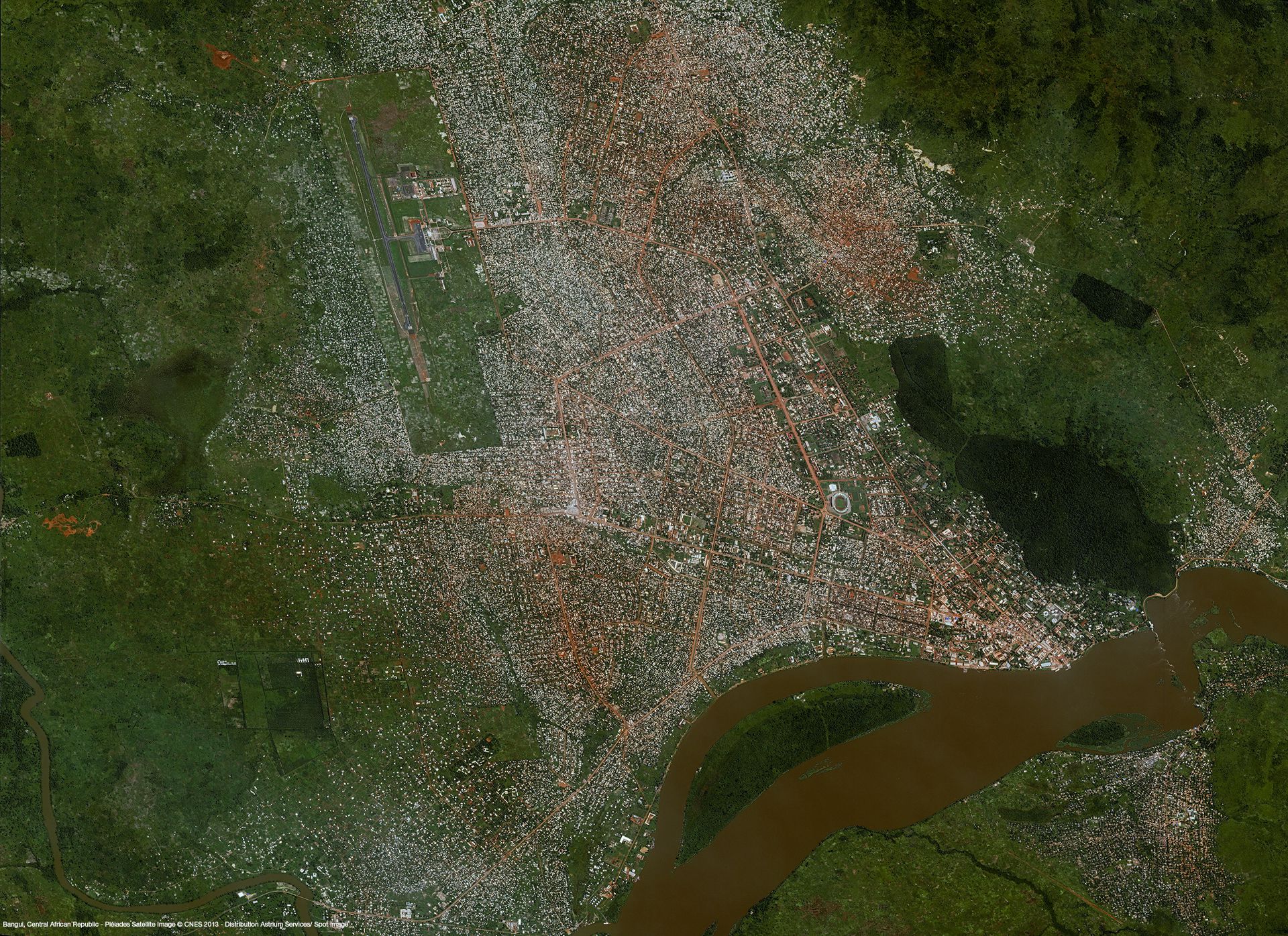
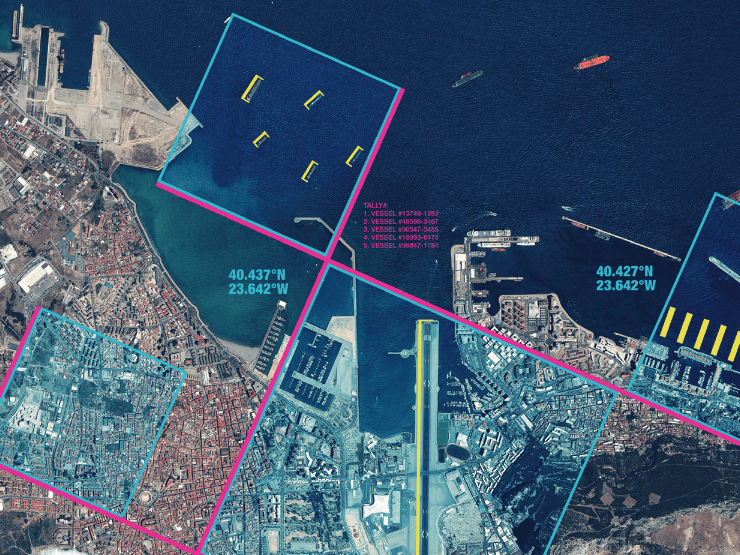
Pléiades is an optical satellite constellation providing very high-resolution products (50cm) with a 20-km swath. Both the space and the ground segment have been designed to provide information in record time, offering daily revisit capacity to any point on the globe and acquisition capabilities tailored to meet the full spectrum of civil and military requirements.
Its sensors capture Blue, Green, Red, and Near Infrared bands, at resolutions of 50 cm for Panchromatic, and 2m for Multispectral.
The Pléiades constellation has been providing color products at 50 cm
resolution, delivering an extremely high level of detail since 2012.
These products’ location accuracy and excellent image quality make them
the ideal solution for precision mapping.
Offering an ideal trade-off between coverage, resolution, and speed, Pleiades products are especially useful for applications in defense, civil protection, hazard management, urban mapping, precision agriculture and network and infrastructure administration.
Launch | Pléiades 1A: December 17, 2011Pléiades 1B: December 2, 2012 |
Orbit | Sun-synchronous 10:30 AM descending node 26-day cycle 694 km altitude |
Spectral bands | Pan: 0.47-0.83 mm; Blue = 0.43-0.55 mm, Green = 0.50-0.62 mm, Red = 0.59-0.71 mm, Near Infrared = 0.74-0.94 mm |
| Spatial resolution | Panchromatic @ 0.5 m; Multispectral @ 2.0 m |
| Radiometric resolution | 12 bits per pixel |
| Geometric precision | < 8.5 m CE90 |
| Revisit time | Daily, anywhere |
And some technical specifications related to the ordering process:
Imagery type | ||||||||||||
| ||||||||||||
Geometric processing | ||||||||||||
| ||||||||||||
| Radiometric processing | ||||||||||||
| ||||||||||||
| Band selection | ||||||||||||
|
Need a sample to test the product before ordering?
Gallery
Key features
Detailed and precise image products at 50 cm spatial resolution
Daily revisit capacity, from standard delivery to emergency response
10+ billion km² of imagery
Multi-resolution optical archive
Ideal for precision mapping and in-depth
intelligence
Ortho-rectified imagery as a standard, high imagery quality
Key applications

Agriculture
Assessment of crop damage and crop progress
Especially adapted to fragmented landscapes, small parcels
Crop yield modelling and estimation
Assessment of crop damage and crop progress
Especially adapted to fragmented landscapes, small parcels
Crop yield modelling and estimation

Infrastructure
Detecting changes in land cover
Monitoring construction sites
Creating land use maps (up to 1:10,000 and 1:5,000 scale
maps)
Detecting changes in land cover
Monitoring construction sites
Creating land use maps (up to 1:10,000 and 1:5,000 scale
maps)

Marine
Assessment of natural event impacts (storms, wind,
tides) in 2D or 3D
Preparation of flood risk maps
Shallow waters bathymetry
Assessment of natural event impacts (storms, wind,
tides) in 2D or 3D
Preparation of flood risk maps
Shallow waters bathymetry
FAQs
Some restrictions do apply when ordering Pleiades data. These are related to the minimum area and minimum order and the following:
- Minimum area of interest is 25km², with at least 500m in one direction.
- Minimum order is €250 for solo imagery, €500 for stereo, and 750€ for tristereo.
In case more than one AOI is required, please contact us for a custom order tailored to your needs.
