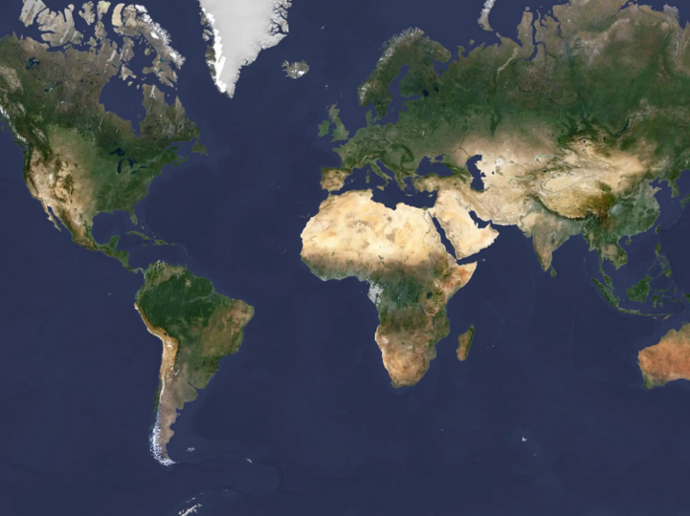
PlanetSAT Basemap
Take advantage of a pole-to-pole coverage of all emerged land at 10-meter resolution, processed with fresh Sentinel-2 imagery and Landsat 8 data, perfect for viewing the Earth from global scales all the way down to 1:50,000 map scale. A new version of the global basemap is released every year. The product is updated with recent and cloudless 10-meter Sentinel-2 imagery.
Key features
Access to very high-resolution mosaics at up to 10 meters.
Updated annually to incorporate new images and stay current.
Seamless, recent, and cloudless imagery
Pole-to-pole global coverage
Direct integration in your GIS applications, visualization, and mapping platforms
Product data ready to be used without any further processing
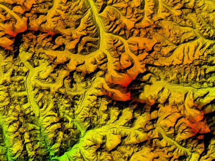
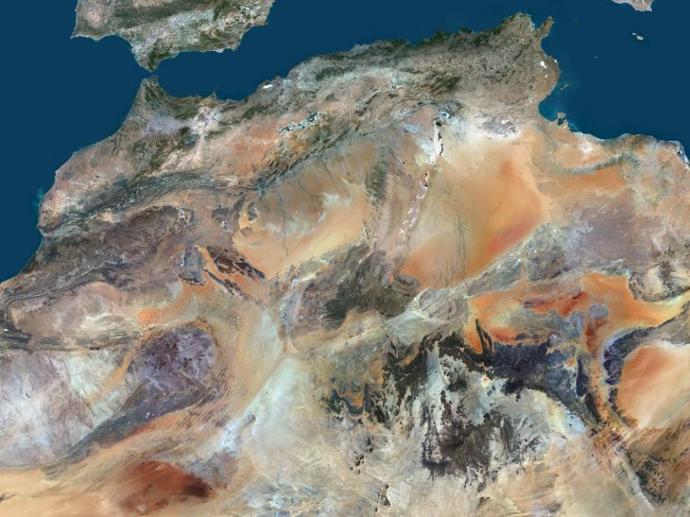
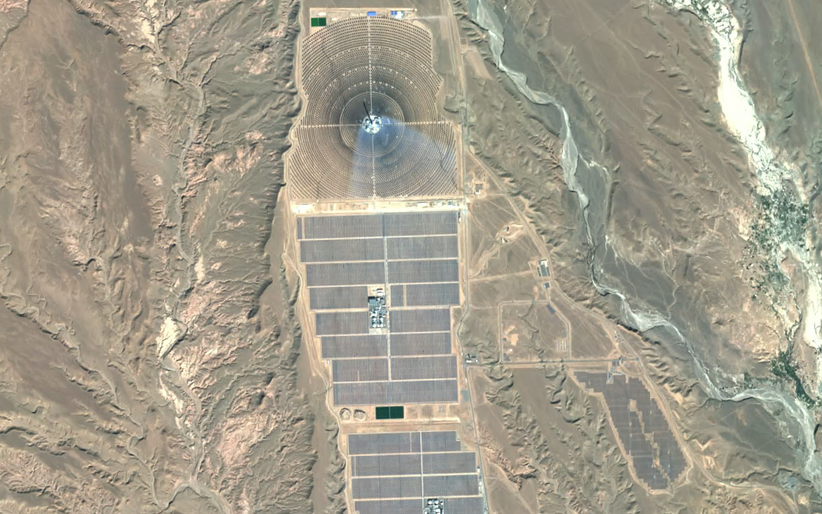
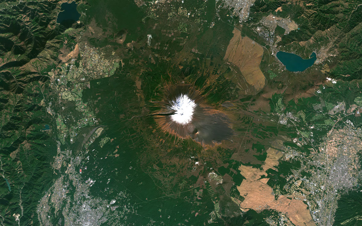
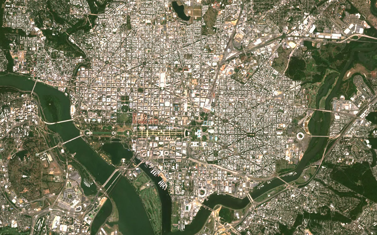
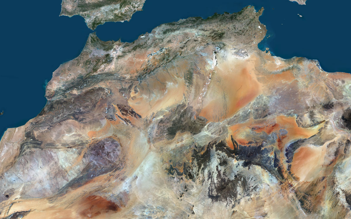
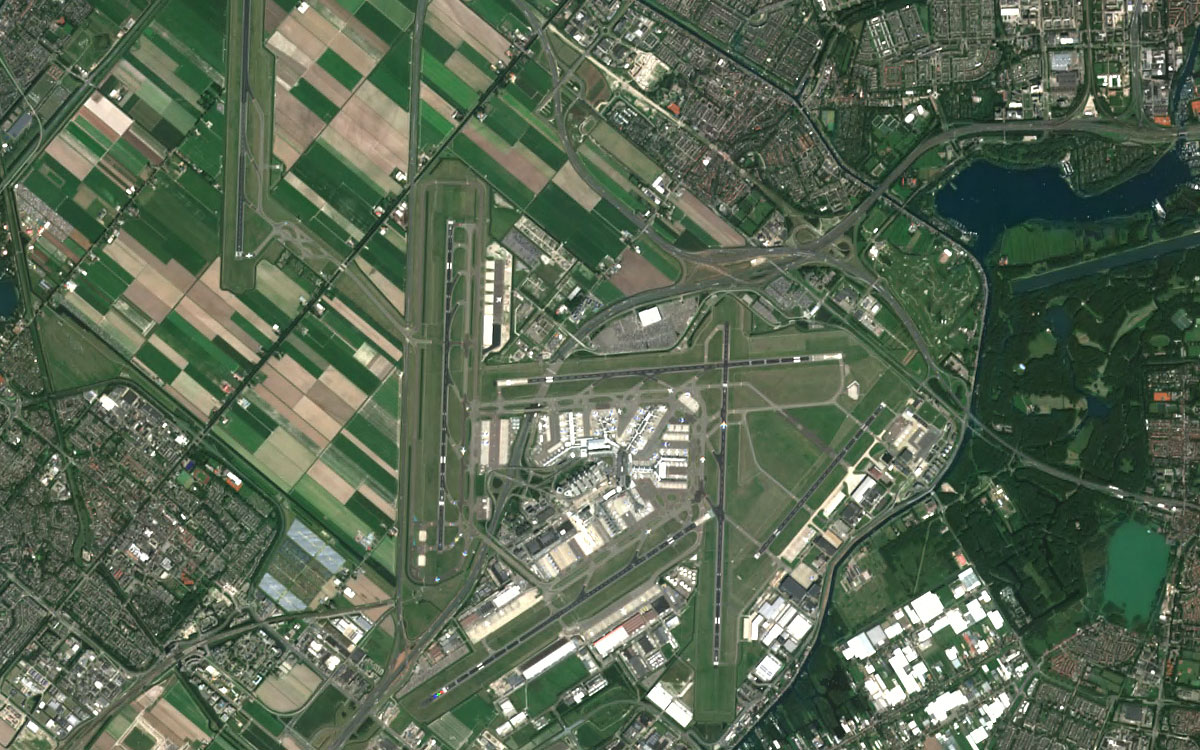
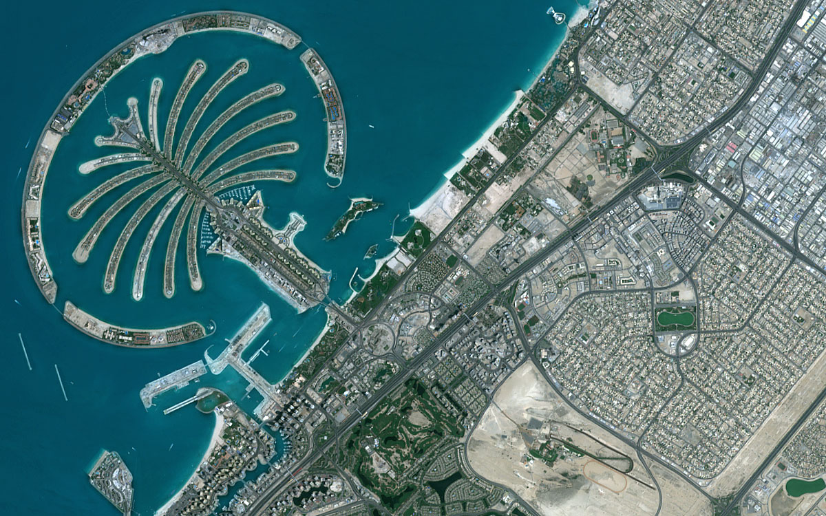
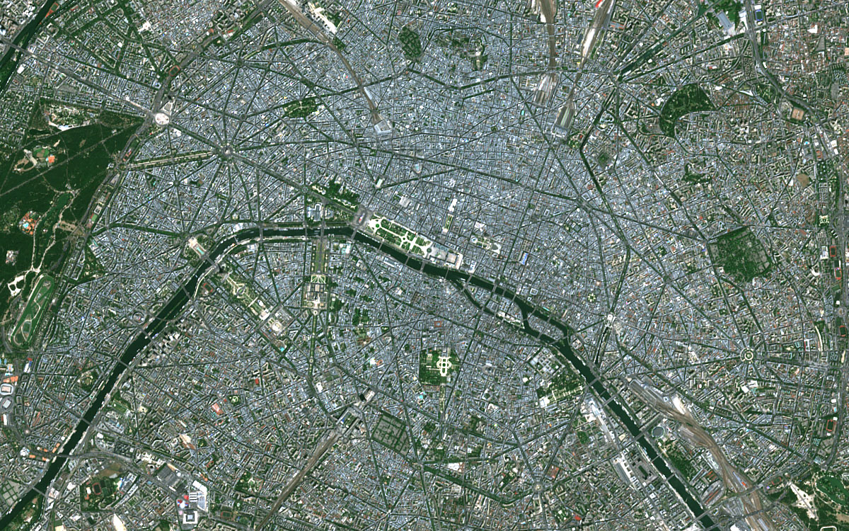
Gallery

Key applications

Aviation
Flight planning
Real-time aircraft navigation basemap
Flight assistant applications
Flight planning
Real-time aircraft navigation basemap
Flight assistant applications

Energy
Natural Resource Management
Water Administration
Oil and Gas Distribution Mapping
Natural Resource Management
Water Administration
Oil and Gas Distribution Mapping

Infrastructure
High-quality basemap for visual reference
Land use and change detection
Urban mapping
High-quality basemap for visual reference
Land use and change detection
Urban mapping
FAQs
A minimum charge for data is 350€ per area of interest.
You can select among three different license types offered by PlanetObserver for PlanetSAT Basemap products depending on your project needs. These are:
Enterprise License / Single Site: Internal use of Products on any number of workstations by a single Company or Organization at a single physical location.
Enterprise License / Multiple Sites: Internal use of Products on any number of workstations by a single Company or Organization across multiple physical locations.
Integrator License: Products embedded by the licensee in 1 solution for resale to multiple single end-users.
Sure! In case you want to integrate PlanetSAT Basemap into your academic project, you can use them under the Academic License. This means that the products can be used only internally by 1 educational Organization, and only for teaching, instruction, academic research, or other educational purposes, and not for commercial exploitation.
Please contact us for more information.
Before purchasing your PlanetSAT Basemap, you can choose to add to your order an Annual Maintenance Contract (AMC). The AMC is an optional, yearly-based paid service that provides you with a product upgrade every year. AMC Fees are invoiced on a yearly basis at the start of a Maintenance Period. AMC term shall be three (3) years. It can be purchased within 12 months of the initial Product License purchase.