NEXTMap World 10
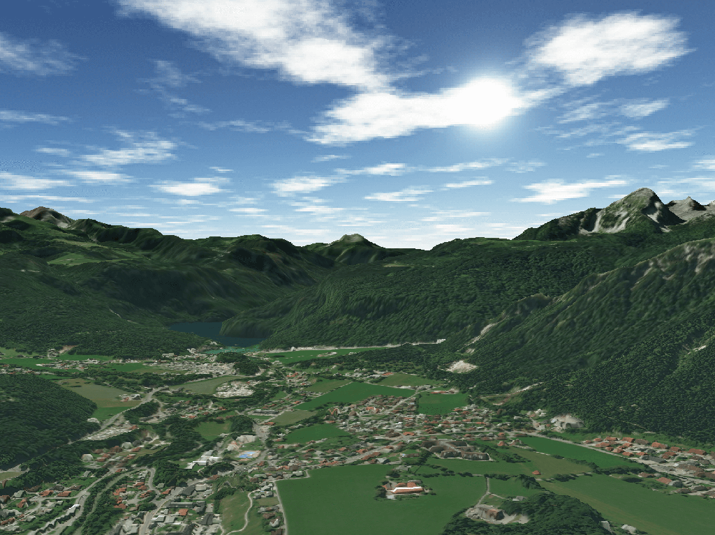
NEXTMap World 10 offers worldwide coverage with 100% inclusion of the Earth’s entire 150 million square kilometers for comprehensive analysis. Obtain DTMs with vegetation, buildings, bare earth, and other features digitally removed for any location in the world.
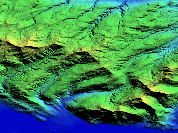
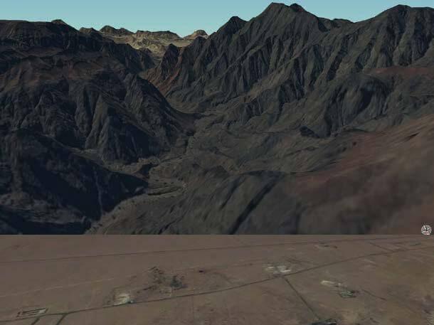
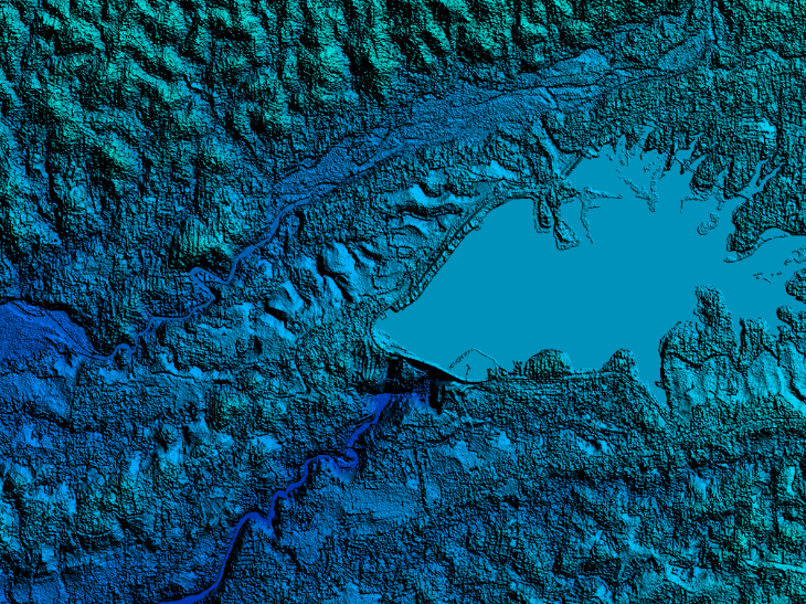
With Intermap’s new Terrain Filter and Frequency Fusion technologies, NEXTMap World 10 is the best global DSM within the NEXTMap product line. This DEM reveals terrain features that are not distinguishable in competitive digital elevation products, and it fills the voids and corrects the errors inherent in publicly available data for seamless coverage.
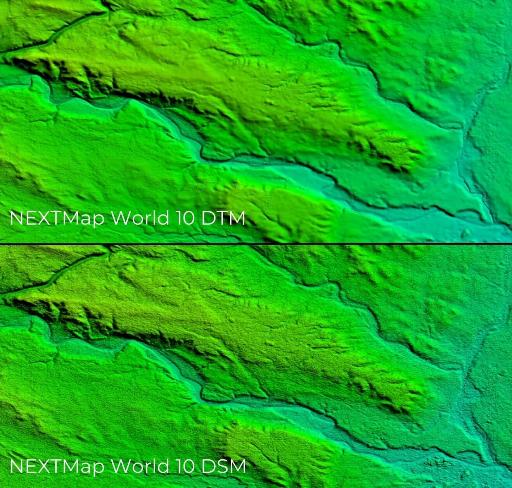
NEXTMap World 10 offers considerable improvements over other DEMs, including reduced noise in the DSM, enhanced terrain features, and tight integration of all datasets within the fusion process. Create your own dataset and predefined elevation data with high resolution.
Consultants and engineering companies need a reliable DEM for their planning projects. At 10-meter resolution, even easy-to-miss features like roadways and dried riverbeds can be detected in the terrain. For projects that include remote regions north of 60 degrees latitude, World 10 offers world elevation map an unmatched solution.
Need a sample to test the product before ordering?
Key features
10m LE95 vertical accuracy
Seamless Global Coverage
Digital Terrain Model for any location in the world (with no vegetation, buildings, and other features above the surface)
Flattened water body surfaces between North 60 degrees and South 56 degrees
Utilization of global LiDAR for vertical control
Full utilization of patent pending Terrain Filter and Frequency Fusion technologies
Key applications

Infrastructure
Orthorectifying higher resolution photos
Analyzing roads' condition
Generating elevation model at regional level
Orthorectifying higher resolution photos
Analyzing roads' condition
Generating elevation model at regional level
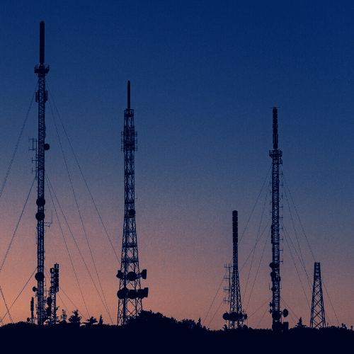
Telecom
Line of Sight
Microwave link planning
Rendering of 3D visualizations
Line of Sight
Microwave link planning
Rendering of 3D visualizations
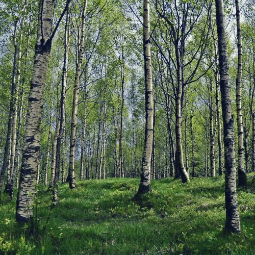
Forestry
Measuring forest cover area
Detecting forest roads
Estimating canopy density
Measuring forest cover area
Detecting forest roads
Estimating canopy density
FAQs
NEXTMap World 10 data are delivered in:
Geographic projection
WGS84 horizontal datum
EGM96 geoid
Each NEXTMap World 10 tile covers an area of 1°x1°, with a file size of ~445MB.
Data are provided as 32 bit floating point elevations, with oceans and water surfaces set to 0 meter.
Custom data formats and projections available upon request.
The EULA of NEXTMap World 10 is under the authority of Intermap and can be found here.