Mango
Create easily engaging map visualizations with no view limits, no coding, and no complex licensing.
Rapidly dive into your data with rule based queries to discover features of interest contained within your map, e.g. "Show me all properties that are within a thousand feet of the watershed hazard area", or draw shapes and add markers and text annotations, and save them as bookmarks for private or public viewing and share them with a click.
With Mango your maps can be accessed by anyone with a web browser. And no expensive or complex GIS systems are required. Mango supports a whole range of easy to configure visualizations right out of the box. The mango toolbox contains a wide range of geospatial tools that you can add according to the objective of your maps. Category maps, quantity maps, bubble maps, heat maps and cluster maps are supported. You can customize, strokes, fills, class breaks and labels all with only a few mouse clicks.
Additionally, with the Google Street View, now in situ inspections and crowd sourcing have never been easier! Add new features on-the-go or list all points of interest into your Mango web map and use the integrated MangoMap location services to access them from your mobile device.
Key features
Build map applications that integrate seamlessly with your workflows.
Create attractive interactive maps and share them with anyone, anywhere — on any device.
Invite users and assign viewing, administration, or editing rights for maps and data.
Complete control over data popups - embed rich content such as links, images, videos, and charts.
Easily add tools that allows users to uncover the answers they need.
Full brand integration - your logo, your color scheme, your domain name.
Key applications

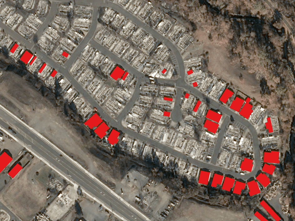
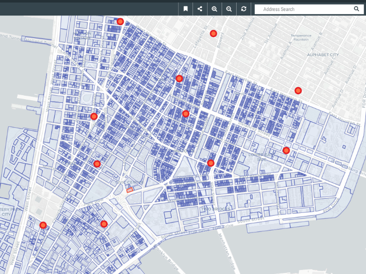
Infrastructure
Site selection process
Locating construction and building alteration
Real-time navigation to points of interest
Site selection process
Locating construction and building alteration

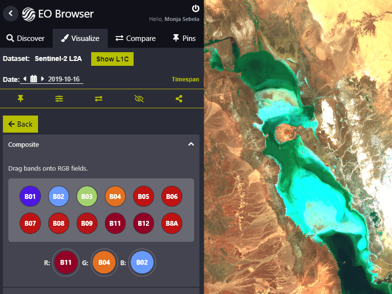
Insurance
Mapping of crop parcels
Geotagging farmland to specific farmers
Identification of fraud insurance claims
Mapping of crop parcels
Geotagging farmland to specific farmers
Identification of fraud insurance claims
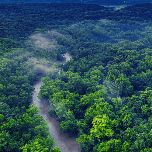
Environment
Map slider with forest cover loss/gain
Mapping of forest density
Distribution of animal species
Map slider with forest cover loss/gain
Mapping of forest density
FAQs
Mango supports the following spatial formats:
Shapefile
MapInfo
TAB
KML
CSV
GeoJSON
File Geodatabase
Raster GeoTIFF
WMS (v1.3 EPSG:3857 only)
Mango uses a range of base maps, sourced from the following third party providers:
OpenStreetMap: © OpenStreetMap contributors. Data by OpenStreetMap, under ODbL.
Light: © OpenStreetMap contributors. © Carto
Bing Map Streets, Hybrid, Satellite: © 2013 Microsoft Terms of Use
Toner, Toner Light, Terrain: Map tiles by Stamen Design, under CC BY 3.0. Data by OpenStreetMap, under ODbL
Watercolor: Map tiles by Stamen Design, under CC BY 3.0. Data by OpenStreetMap, under CC BY SA
Mango uses Amazon Web Services for all infrastructure. Map tiles generated from your data are served by a fast content delivery network with worldwide distribution points to maximise delivery speeds — no matter where your map users are located.
Mango has a web client application that allows for intuitive and fast map interaction. At present the following tools and features are not available on mobile:
Sketch
Bookmark
Mouseover highlight
Print
Information sidebar
Clustered pushpins
Mango is supported on the following Android and iOS browsers
- Chrome
- Edge
- Safari
- Firefox
- Android WebView
Terms and Conditions of MangoMap apply.