GEO Premium
Get access to not only courses, but also the tools you need to start your education path in geospatial technologies and concepts. With a GEO Premium subscription, you can participate in more than 70 online courses on Earth Observation, GIS and Space Applications, and receive credit with certificates of participation for each one. All instructors are professionals or academics experts in the courses they teach. Since the courses are offered online, you can start and stop at any time, and learn at your own pace from anywhere!
The courses are even easier to follow along on your infrastructure. Along with the access to the courses, you will be provided with a virtual machine (VM) that includes some of the most common open-source software related to geospatial applications. It is oriented only for educational purposes and it is provided along with the GEO Premium subscription, so that the student can have all the required software for the online courses’ follow-up.
Key features
Access to more than 70 online courses on Earth Observation and GIS.
After the successful completion of each course, you can claim your Certificate of Completion with no extra cost.
Online and always accessible.
14 days FREE CloudSigma cloud resources.
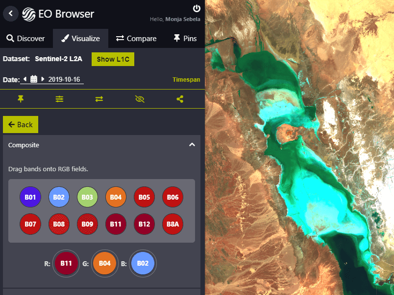
3 months free access to Sinergise's Sentinel Hub platform.
Linux Virtual Machine with pre-installed open source software to be used along with the online courses.
Key applications

Train your company
Train newest members
Stay updated on GIS applications, Remote Sensing techniques and Space technologies

Research & Academia
Fill in knowledge gaps
Continuing education on GIS applications, Remote Sensing algorithms and techniques and Space technologies
Fill in knowledge gaps
Continuing education on GIS applications, Remote Sensing algorithms and techniques and Space technologies
FAQs
Currently, you can have access through GEO Premium in the following courses:
A Machine learning approach for Object Parameter Estimation and Discrimination
Analysing Earth Observation Data Using Open Source Tools
Applied Programming & GIS Analysis Using ArcPy
Beginner course into Java concepts
Beginners Guide to Model Builder for Big data processing
Cartographic Design in QGIS
Corso base di Telerilevamento
Course on the basics of using Python in ArcGIS Pro
Course on using ArcGIS for hydrology
Digital Image Processing with OpenCV in Python
Earth Observation and GIS to support the United Nations Sustainable Development Goals
Elaborazione avanzata di dati satellitari
EMENTA DO CURSO DE QGIS 3.0 AVANÇADO
ENVIRONMENTAL MODELLING AND ANALYSIS IN GIS
ERDAS Imagine Fast Track Online Training Course
ESA Sentinel Application Platform Tutorial
Geospatial Analysis for Urban Applications with GIS and a bit of Python
GIS-Based Landslide Susceptibility Modelling
Glacier Mapping using Earth Observation Satellites
Google Earth Engine Training For Earth Observation (EO) Applications
Hyperspectral Image Analysis and Processing with ENVI Software
Hyperspectral Image Classification with Orfeo Toolbox
Hyperspectral Imaging Application: Oil Spill Mapping
Introduction to cloudeo's geospatial solutions
Introduction to GeoServer
Introduction to geospatial data visualization
Introduction to LaTeX
Introduction to Launch Vehicles and Propulsion Systems is 9% complete.
Introduction to Maps in Folium and Python
Introduction to Maps in R Shiny and Leaflet
Introduction to Remote Sensing
Introduction to Spatial Analysis in ArcGIS
Introduction to UAV mapping
Learn basic of world’s best GIS platform ESRI ArcGIS 10.x
Learn GIS with your personal virtual instructor
Learn Hyperspectral Remote Sensing from the Scratch
Learn the basics of Python and use it in ArcGIS
Learn the basics of QGIS
Learn the basics of QGIS platform
Learn the basics of Remote Sensing in ArcGIS
Learn the FOSS4g Stack: Enterprise GIS w/ PostgreSQL/PostGIS
Learn the FOSS4g Stack: Internet Mapping with Geoserver
Learn the FOSS4g Stack: Python Geospatial
Learn the FOSS4g Stack: QGIS 3 Desktop
Learn the FOSS4g Stack: Spatial SQL with PostgreSQL/PostGIS
Learn to classify Landsat 8 data in QGIS
Learn webGIS and ArcPy
Location Allocation Model on facilities for urban planning with ArcGIS 10.x
Machine Learning for Predictive Maps in Python and Leaflet
Massive Earth Observation Data Processing with the Sentinel-Hub Platform
Modeling the flow of the water in a surface
Multispectral Earth Observation Applications using ESA Sentinel Application Platform
Orthomosaic map generation using Agisoft Metashape - Photoscan
Overview of LiDAR; system variations, data interpretation & applications
Planning a Site Suitability Analysis for a New Wind Farm with ArcGIS 10.x
Pre-processing dei dati satellitari
Python Geospatial Development
Python Spatial Analysis ArcGIS
Remote Sensing and Satellite Image Processing with the EOS Platform
Sentinel Hub Webinar Series
Smart Map In Python Tutorial
Spatial Data Analysis with ArcGIS Desktop
Spatial Data Visualization and Machine Learning in Python
The ENVI image analysis software tutorial
The Network Based Method Spectral Unmixing Framework
Tutorial Básico do QGIS
Tutorial on CloudSigma online platform
Web Scraping and Mapping Dam Levels in Python
Wildfires risk mapping with satellite soil moisture and vegetable activity data
No, we will not re-charge you if you purchase the 1 month package. When your 1 month subscription is ending, we will notify you in order to manually renew your subscription.
No, we will not re-charge you if you purchase the 1 Year package. When your 1 Year subscription is ending, we will notify you in order to manually renew your subscription.
You get access to GEO Premium for ever! You pay once and you get access to all our content and their updates for ever.
No. Your certificates of completion remain active even if your subscription is expired.
No. By the time you perform the payment your package will be active for the corresponding period of time (1 month, 1 year or lifetime).
You can find the step-by-step instructions in this link, as provided by GEO University.
The pre-installed software included in GEO University VM are:
QGIS
GRASS
ESA's SNAP toolbox
R and R-Studio
Spyder (Python 3.x)
Geoserver
PostgreSQL/PostGIS
Terms & Conditions and Privacy Policy of GEO University apply.