Satellogic - Multispectral
Satellogic designs, builds and operates its own fleet of Earth observation satellites, the Aleph-1 constellation. Its aim is to frequently collect affordable high-resolution imagery for decision-making in a broad range of industrial, environmental and government applications.
Satellogic’s multispectral cameras collect sub-meter imagery data at an altitude of around 475 km. Its 4 multispectral bands (red, green, blue, near-IR) are delivered ortho-rectified and GIS-ready.
SuperResolution enhances the spatial resolution of our multispectral imagery to 70 cm using proprietary processing techniques. This improves the clarity of the original image without disrupting the integrity of radiometric values—creating a product optimized for machine learning and AI applications.
Two different processing levels are available for ordering:
Level 1, suitable for advanced analytics based on radiometric values
Level 3, ideal for basemaps, visual interpretation, and basic analytics
Both levels are corrected for sensor and optical effects, and for terrain distortion.
Some general information for Satellogic's Multispectral imagery:
Constellation | Aleph-1 |
Spectral bands | Blue: 450 - 510 nm Green: 510 - 580 nm Red: 590 - 690 nm Near-IR: 750 - 900 nm |
Spatial resolution | 0.99 m (native resolution) delivered as 1 m SuperResolution @ 70cm |
Radiometric resolution | 16bit (Level 1) or 8bit (Level 3) |
Geometric precision | 10m CE90 |
Revisit time | Sub-daily |
| Projection | UTM/WGS84 |
| Swath width | 5km |
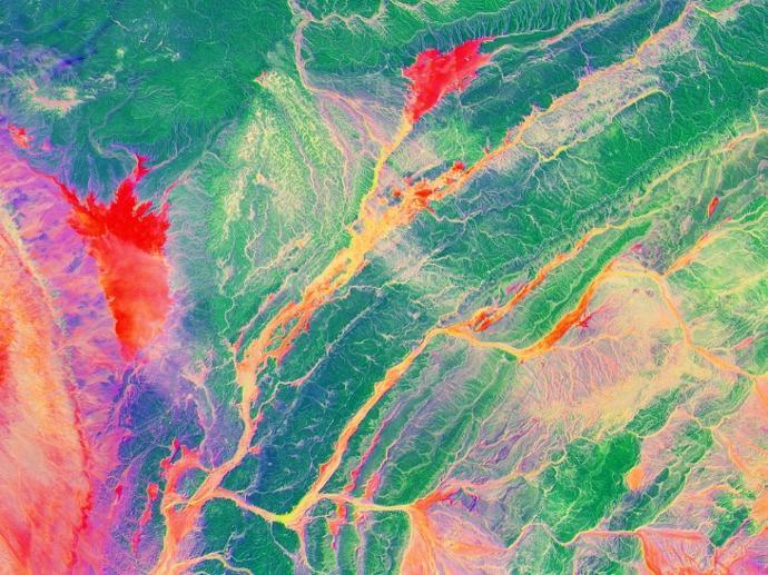
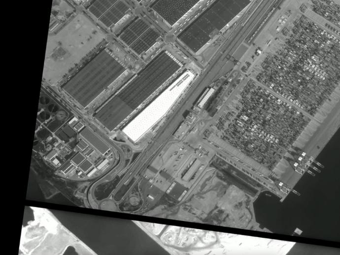
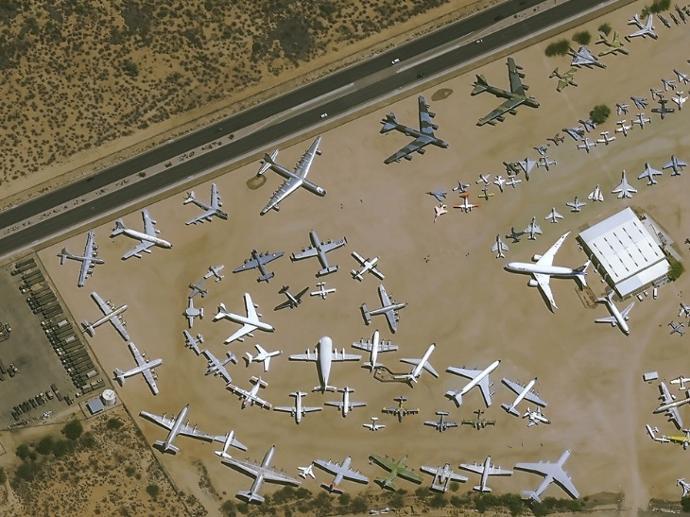
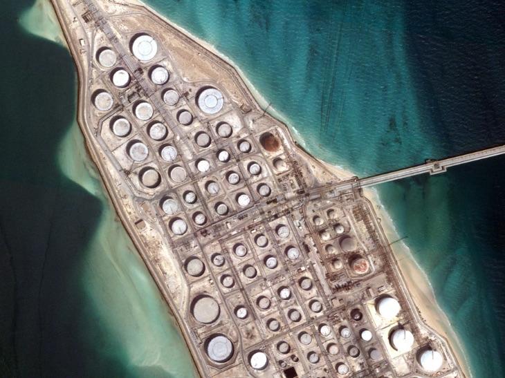
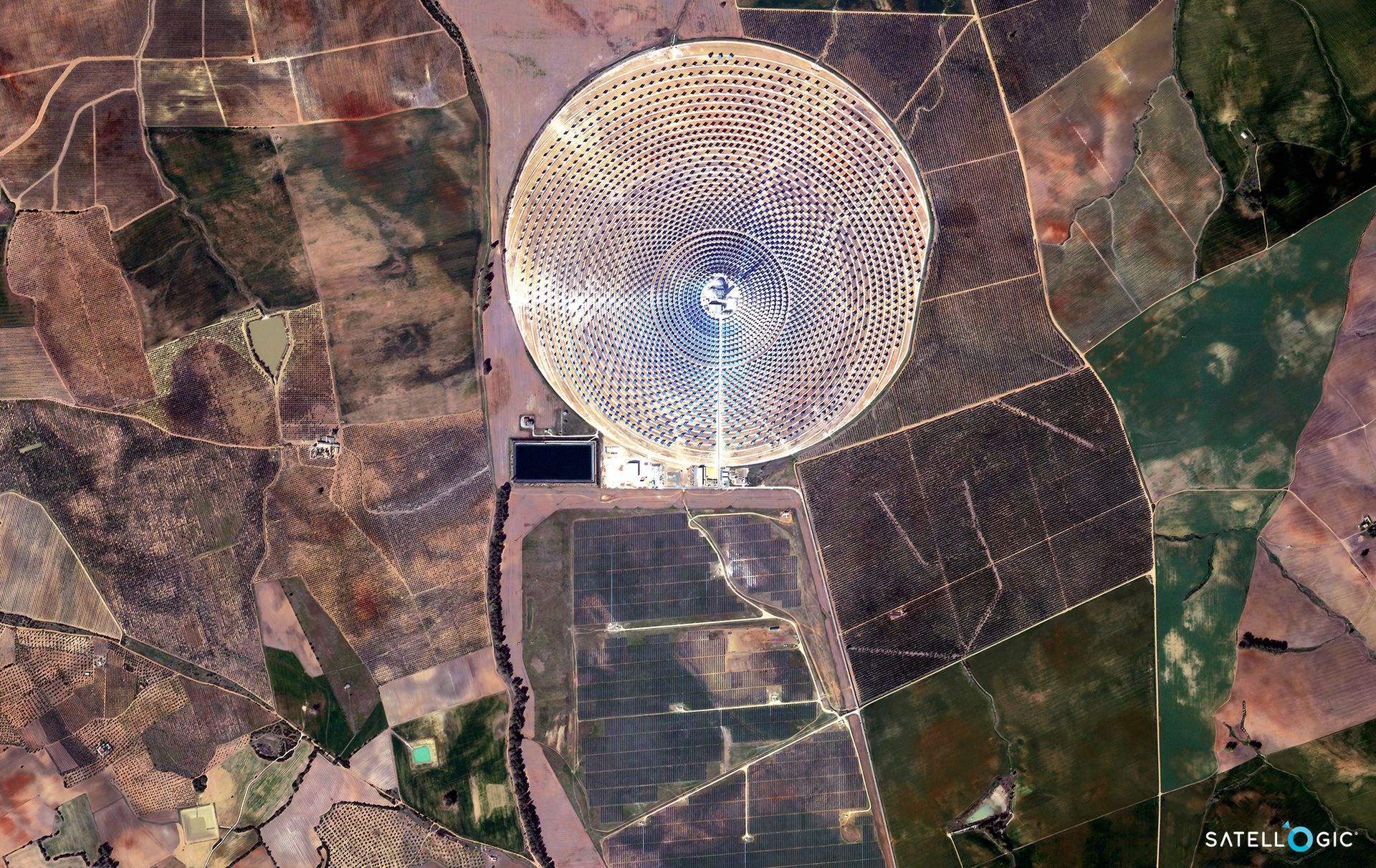
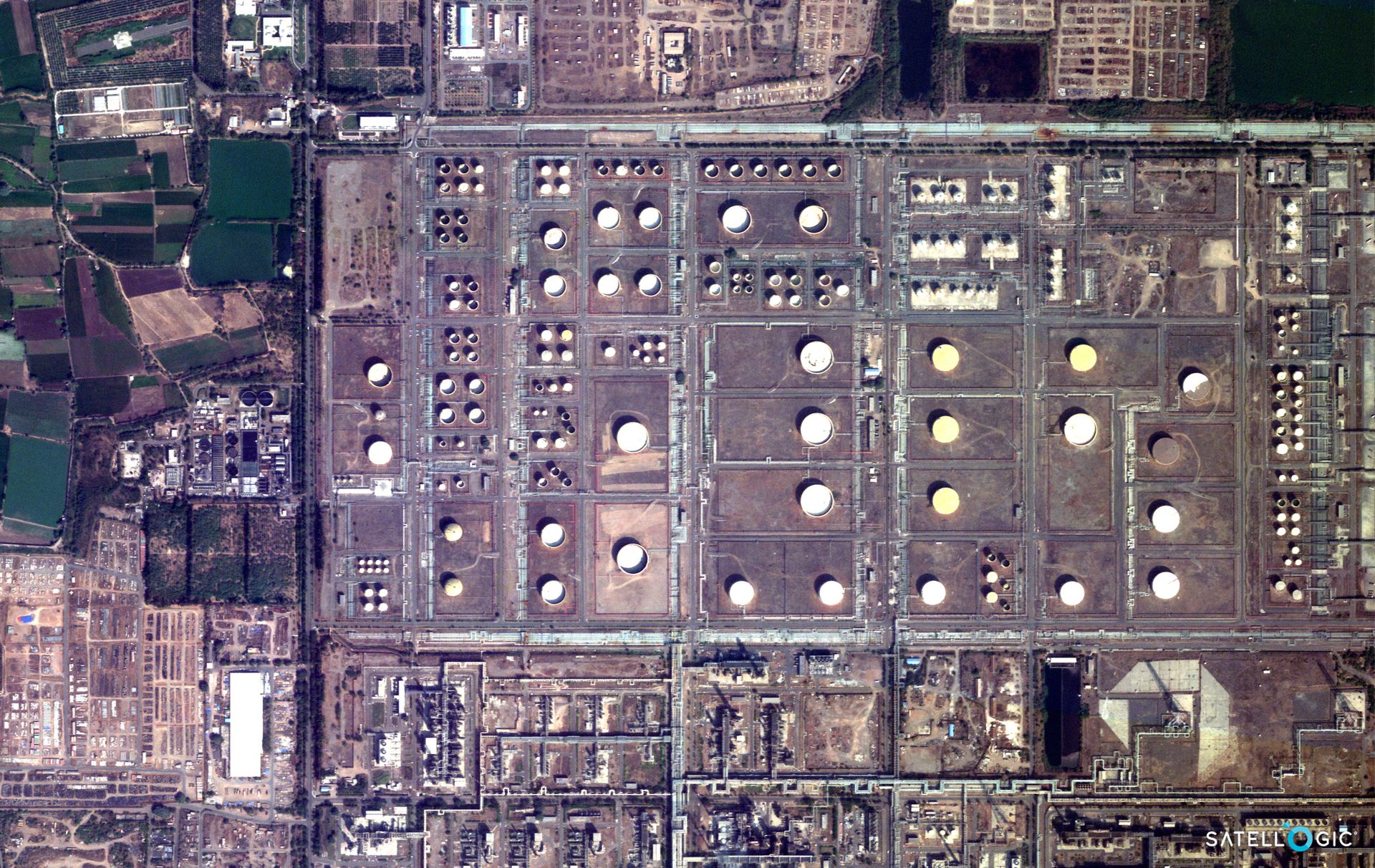
Gallery


Key features
Optical and Near Infrared imagery at spatial resolution of 1m
Patented technology delivers multispectral imagery at sub-meter resolution (70cm)
Frequent remapping of areas of interest
Capture any area or point of interest around the world
High-resolution imagery at the industry’s most competitive price point
Up to 4 daily revisits of any point of interest
Key applications

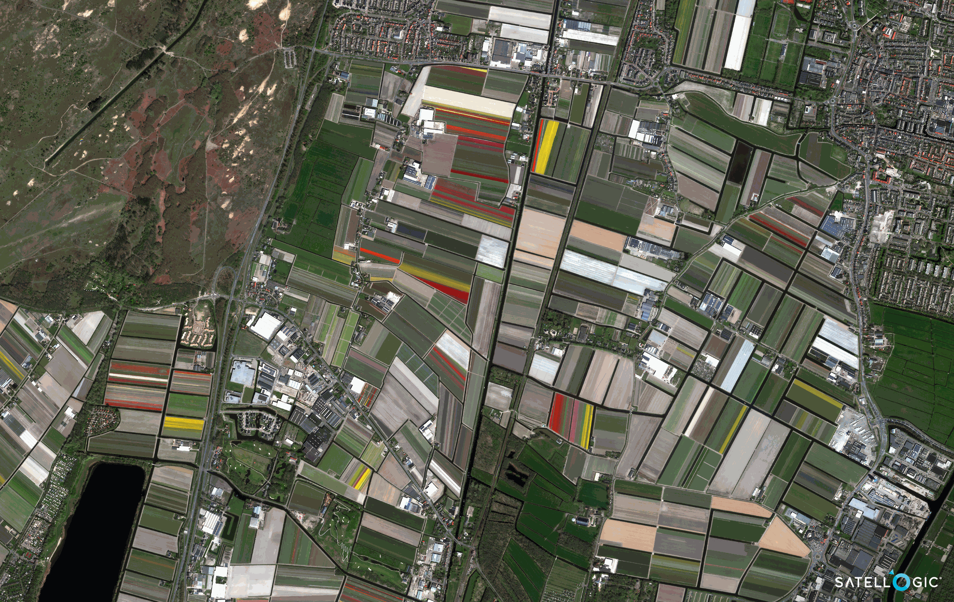
Agriculture
Monitor multiple production fields simultaneously
Improve fertilization and irrigation scheduling
Timely accurate assessment of flood extent and damage
Monitor multiple production fields simultaneously
Improve fertilization and irrigation scheduling
Timely accurate assessment of flood extent and damage

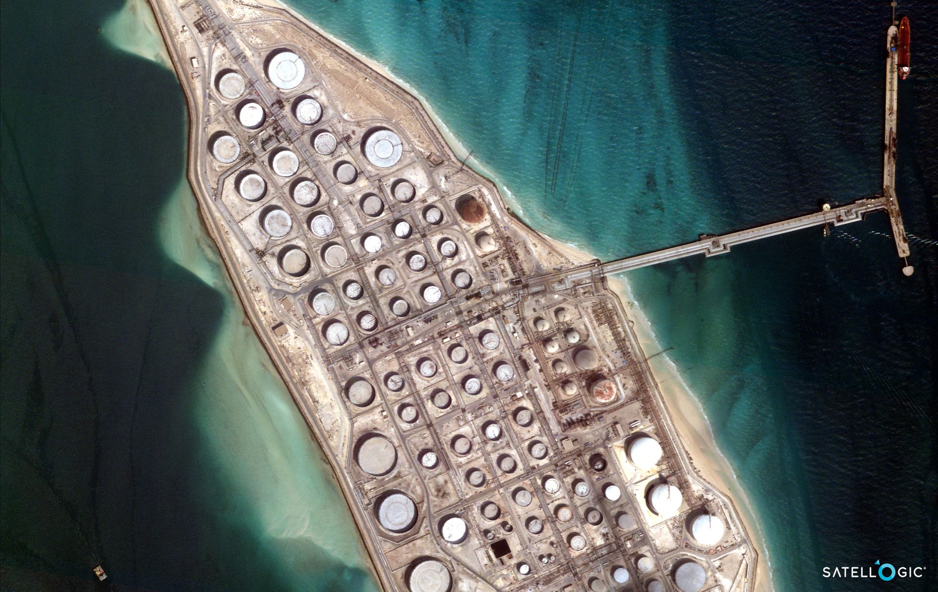
Oil&Gas
Detect hazards in proximity of oil and gas pipelines
Monitor production infrastructure
Environmental compliance
Detect hazards in proximity of oil and gas pipelines
Monitor production infrastructure
Environmental compliance

Forestry
Operations monitoring (harvesting, pruning and thinning)
Market intelligence at a regional to global scale
Wildfire & risk management
Operations monitoring (harvesting, pruning and thinning)
Market intelligence at a regional to global scale
Wildfire & risk management
FAQs
Satellogic - Multispectral orders should be at least 50 sq.km. for Standard, Priority and Rush Tasking.
No order size limitation is applied for Archive Ordering.