KOMPSAT-3A
The KOMPSAT-3A satellite was developed by KARI (Korea Aerospace Research Institute) and launched in 2015 to continue the conservation program of the KOMPSAT mission. With 0.4-meter resolution for panchromatic and 1.6-meter resolution for multispectral data (R, G, B, and NIR), KOMPSAT-3A was the first satellite in the KOMPSAT constellation with two imaging systems on board. Data from this satellite are best for applications in defense, mapping, infrastructure monitoring, agriculture, automated feature extraction, and disaster monitoring. KOMPSAT-3A has an average revisit rate of 3 days, less than 20° off nadir, over the same area.
KOMPSAT-3A ensures data continuity with KOMPSAT-3 and expands on its capability with 40-centimeter resolution panchromatic and 1.6-meter four-band multispectral data (i.e. blue, green, red and near-infrared).
Some general information for KOMPSAT-3A imagery:
Constellation | KOMPSAT |
Launch | March 25, 2015 |
Spectral bands | Blue: 450-520nm Green: 520-600nm Red: 630-690nm NIR: 760-900nm PAN:450-900nm |
Spatial resolution | Multispectral: 1.6 m Panchromatic: 0.4 m |
Geometric precision | <9.4m (CE90) |
Radiometric resolution | 14 bits |
Revisit time | 2 days |
| Swath width | 13 km |
| Orbit | Sun-synchronous 13:30 descending node 528 km altitude |
Key features
Optical and Near Infrared imagery with spatial resolution up to 40 cm
Satellite tasking capability to meet your project requirements
Capture any area or point of interest around the world
OGC compliance
Imagery collection in the afternoon
Sensitivity to small changes in surface reflectance thanks to the 14-bit radiometric resolution
Key applications

Energy
Determine the most favorable wind farms' locations
Identify the rooftop and select the area that is potential for solar installation
Inspect electrical utilities and solar / wind farms
Determine the most favorable wind farms' locations
Identify the rooftop and select the area that is potential for solar installation
Inspect electrical utilities and solar / wind farms

Agriculture
Water management and irrigation planning
Monitor the average growth rate of the crop in normal conditions
Optimize the number of plants per unit of area
Water management and irrigation planning
Monitor the average growth rate of the crop in normal conditions
Optimize the number of plants per unit of area
Infrastructure
Analyze damage caused by floods, earthquakes, and volcanic eruptions
Monitor construction progress of large-scale bridges, roads, buildings
Estimate green area coverage within urban environments
Analyze damage caused by floods, earthquakes, and volcanic eruptions
Monitor construction progress of large-scale bridges, roads, buildings
Estimate green area coverage within urban environments
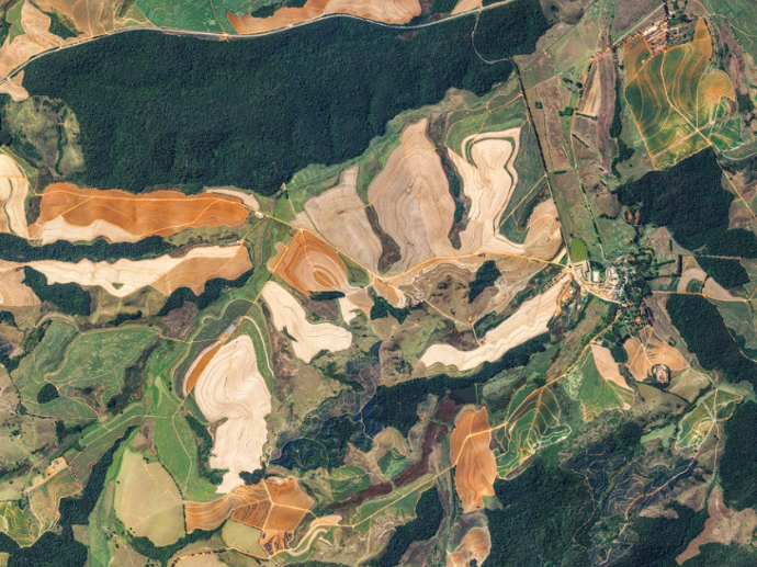
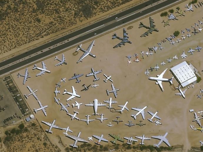
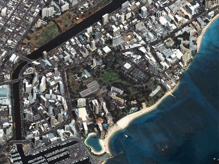
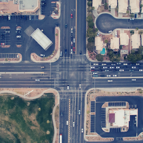
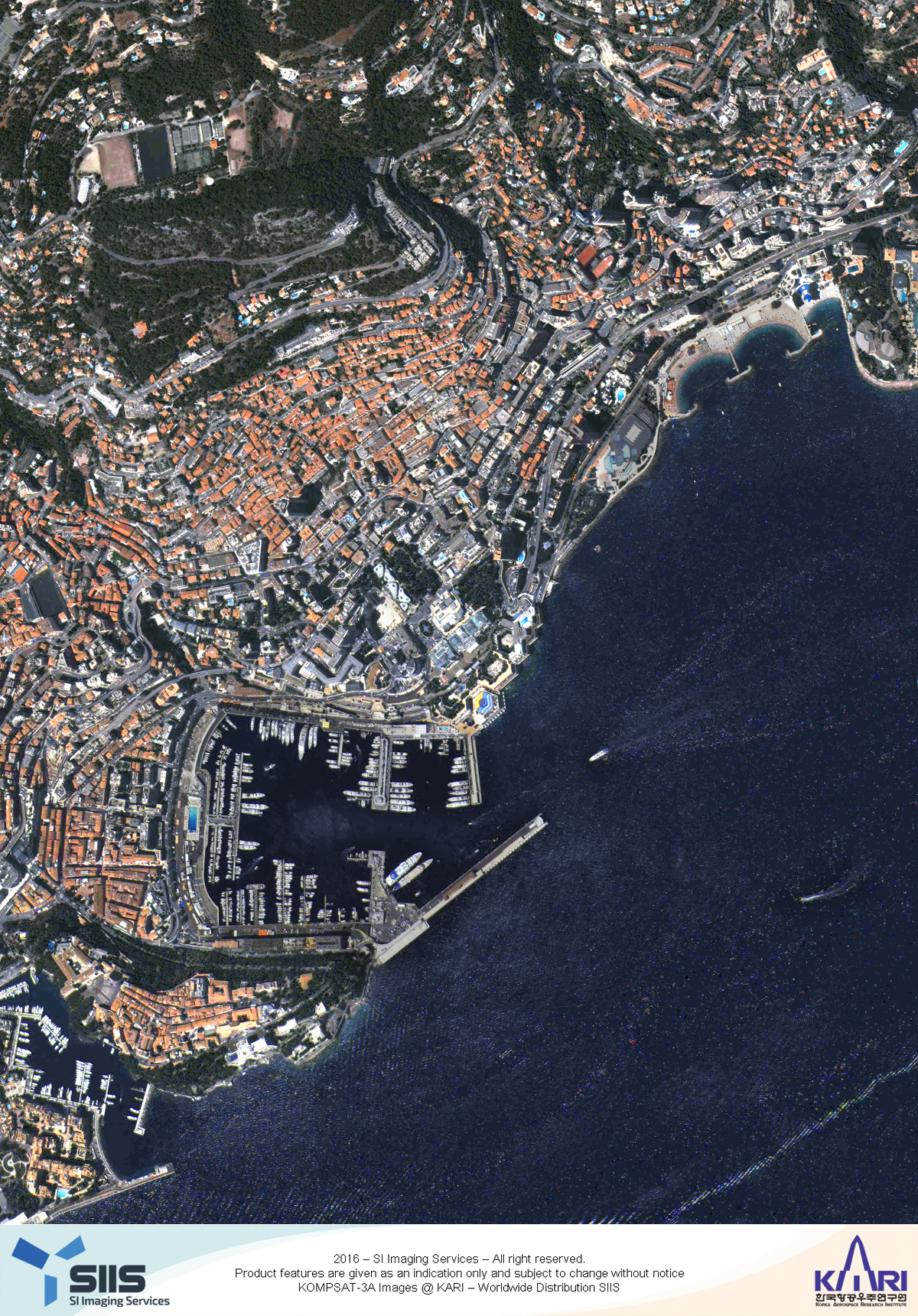
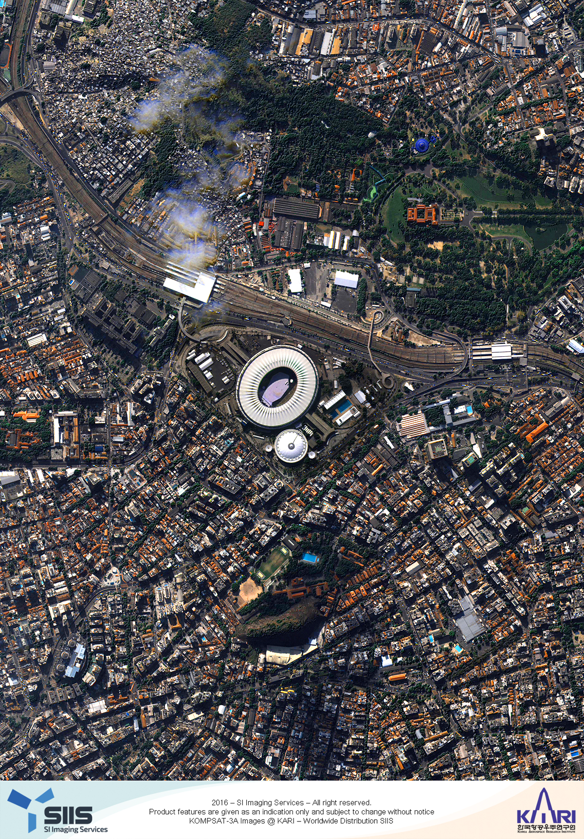
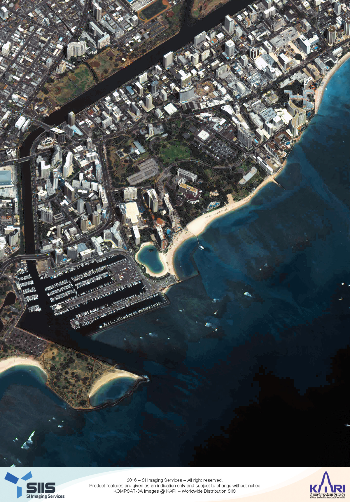
Gallery
FAQs
There are currently KOMPSAT-2, 3, and 3A in terms of electro-optical satellites. They observe the earth about 15 times a day in low earth orbit and collect high-resolution image data used for public safety, national land and resource management, and disaster monitoring.
For Archive imagery, the minimum order size is 25km² with a minimum area width of 5km.
For Tasking, the minimum order size is 100km² with a minimum area width of 5km.
When there is cloud coverage over the area of interest during the ordered tasking window, the image collection cannot be guaranteed. However, for Standard Tasking, if the acquisition is not completed during the collection window, the tasking shall be canceled automatically. Also, for Priority Tasking, if the acquisition cannot be completed during the collection window, you can either change the priority to Standard or update the collection window to continue the acquisition. For Priority Plus Tasking, there is no guarantee for cloud coverage.