Hexagon Geospatial
Hexagon is a global leader in digital reality solutions, combining sensor, software, and autonomous technologies. Data are put to work to boost efficiency, productivity, quality, and safety across industrial, manufacturing, infrastructure, public sector, and mobility applications. Hexagon technologies are shaping the production and people-related ecosystems to become increasingly connected and autonomous – ensuring a scalable, sustainable future.
Hexagon’s Safety, Infrastructure & Geospatial division improves the resilience and sustainability of the world’s critical services and infrastructure. The solutions turn complex data about people, places, and assets into meaningful information and capabilities for better, faster decision-making in public safety, utilities, defense, transportation, and government.
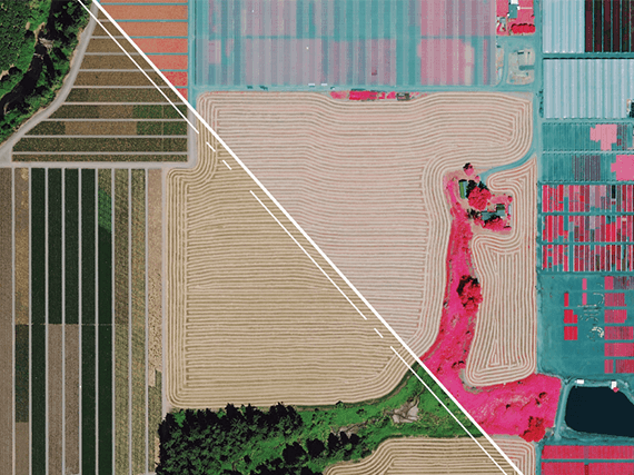
The HxGN Content Program is the largest library of consistent aerial data covering the United States and Europe. The program provides high-accuracy geospatial content including orthophotos, digital surface models, and stereo imagery captured with Leica Geosystems’ innovative airborne sensors. The data is refreshed on a regular schedule and made available for streaming and for download (pixel delivery).
Products:
Hexagon Pixel Delivery
Starts from 86€
Hexagon Streaming Service
Starts from 645€