Natural disasters such as hurricanes, floods, and wildfires can have devastating impacts on communities, causing significant loss of life and property damage. In recent years, advancements in earth observation technology have enabled us to monitor these disasters in real time, providing valuable information to emergency responders and helping to reduce their impact.
In this blog post, we will explore the importance of real-time monitoring of natural disasters using earth observation data, focusing on four key areas:
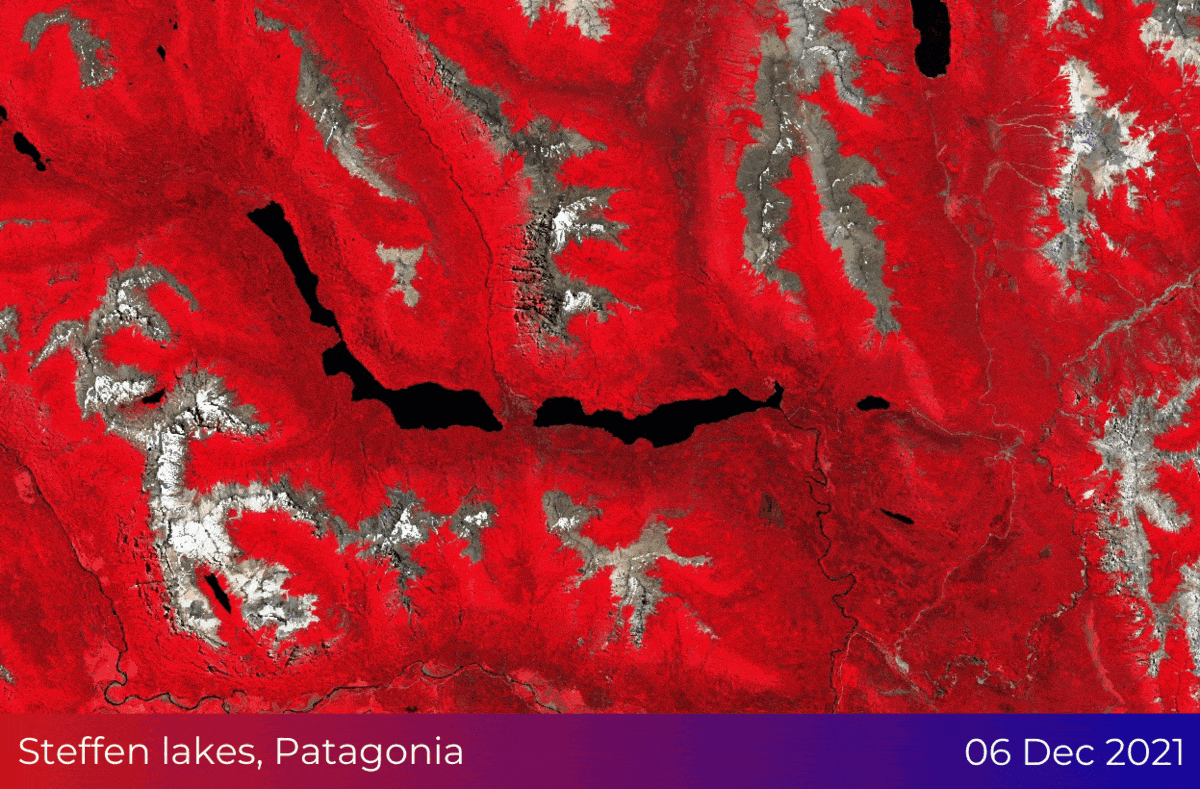
1. Satellite data for weather monitoring
One of the most important applications of earth observation data in disaster management is weather monitoring. By using satellite data to monitor weather patterns in real time, meteorologists can predict the development of severe weather events such as hurricanes, cyclones, and tornadoes. This information is crucial for emergency responders, who can use it to evacuate populations, close highways, and take other measures to protect vulnerable communities.
In addition to predicting severe weather events, earth observation data can also be used to monitor and track more mundane weather patterns. For example, by monitoring temperatures and precipitation levels, meteorologists can predict the likelihood of flooding in low-lying areas, allowing communities to prepare and take measures to protect themselves.
One of the key advantages of using satellite data for weather monitoring is the ability to gather data over large areas. Traditional weather monitoring systems, such as ground-based weather stations, are limited in their coverage area, making it difficult to predict weather patterns over a large region. With satellite data, however, it is possible to gather information on weather patterns across an entire country or even a continent, providing a more comprehensive picture of weather patterns and enabling more accurate predictions.
Discover Spire products
Get access to global forecasts, current weather and historical weather insights for any point on Earth, easily available via API!
2. Monitoring wildfires
Another important application of real-time earth observation data is the monitoring of wildfires. By using satellite data to track the spread of fires, emergency responders can develop effective strategies for containing them and protecting nearby communities. This information can also be used to predict the development of new fires and issue warnings to vulnerable populations.
One of the key challenges of monitoring wildfires is the difficulty of accessing remote or inaccessible areas. With satellite data, however, it is possible to gather information on wildfires in even the most remote regions. In addition, satellite data can provide a bird's-eye view of wildfires, enabling emergency responders to develop a comprehensive understanding of the size and scope of the fire, as well as the best strategies for containing it.
Satellite data can also provide valuable information on the environmental factors that contribute to the spread of wildfires. For example, by monitoring vegetation density and moisture levels, meteorologists can predict the likelihood of wildfires in certain areas and issue warnings to affected communities.
3. Flood monitoring and prediction
Floods are another significant natural disaster that can have devastating impacts on communities. By using earth observation data to monitor water levels in rivers and other bodies of water, emergency responders can predict the development of floods and issue warnings to affected populations. This information can also be used to develop effective flood management strategies, such as building flood barriers and implementing early warning systems.
One of the key advantages of using satellite data for flood monitoring is the ability to gather data over large areas. By monitoring the water levels in rivers and other bodies of water across an entire region, meteorologists can predict the likelihood of flooding in low-lying areas and issue warnings to vulnerable populations. In addition, satellite data can provide valuable information on the environmental factors that contribute to flooding, such as heavy rainfall or rapid snowmelt.
Satellite data can also be used to monitor and predict the impacts of flooding on infrastructure, such as roads, bridges, and buildings. By providing accurate and up-to-date information on flood levels, emergency responders can develop effective strategies for protecting critical infrastructure and preventing damage.
Flood in Pakistan
Damage assessment insights using Copernicus Sentinel-2 imagery and ancillary geospatial data
4. Disaster response and recovery
Real-time monitoring of natural disasters using earth observation data is also essential for disaster response and recovery. Emergency responders can use satellite data to identify the areas that are most affected by a disaster, allowing them to deploy resources more effectively. For example, after a hurricane, emergency responders can use satellite data to identify areas that are still cut off from power or water and prioritize those areas for recovery efforts. Or after an earthquake, very high-resolution satellite imagery can play a vital role in the damage assessment of buildings in urban areas, and support rescue and recovery efforts during extreme human crisis events.
In addition to aiding disaster response efforts, earth observation data can also be used to aid long-term recovery efforts. For example, satellite data can be used to identify areas that are most vulnerable to future natural disasters, such as areas that are prone to flooding or wildfires. This information can be used to develop long-term plans for disaster mitigation and prevention, such as building better infrastructure or implementing land-use regulations.
Finally, earth observation data can be used to monitor the progress of recovery efforts over time. By using satellite data to track changes in infrastructure and land use, as well as changes in vegetation density and other environmental factors, governments and organizations can assess the effectiveness of recovery efforts and adjust their strategies as necessary. This information can also be used to develop best practices for disaster recovery and mitigation, allowing communities to better prepare for future disasters.
Conclusion
In conclusion, real-time monitoring of natural disasters using earth observation data is a crucial tool for disaster management and response. By providing emergency responders with accurate and up-to-date information on weather patterns, wildfires, floods, and other natural disasters, earth observation data can help to reduce the impact of these disasters on communities and protect vulnerable populations.
Need a custom solution to support a response to a natural disaster?
Tell us about it. Fill out the form below with all the necessary information. Our sales team will gather the most suitable satellite image datasets of up to 30cm spatial resolution and contact you as soon as possible.