Cloudeo teams up with Satellogic to provide their high-quality satellite imagery products to the market within cloudeo marketplace! Sub-meter-resolution multispectral imagery, satellite full-motion videos, as well as high-resolution hyperspectral images, are available to level up applications related to maritime, agriculture, forestry, infrastructure, and many more!
Satellogic satellite products

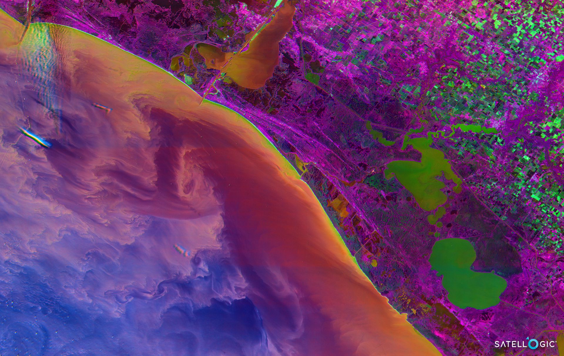
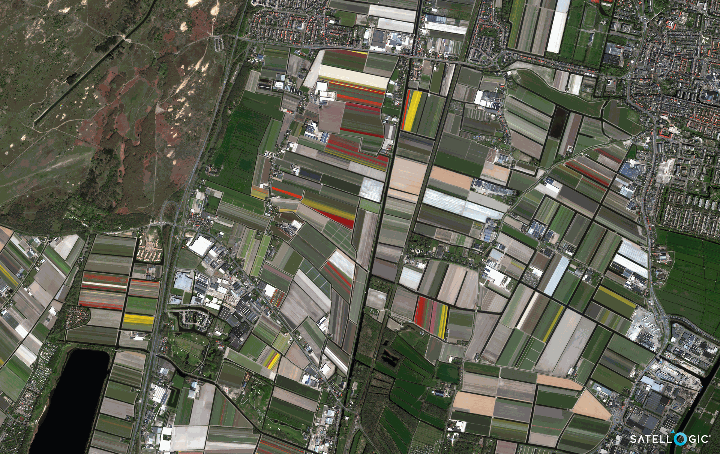
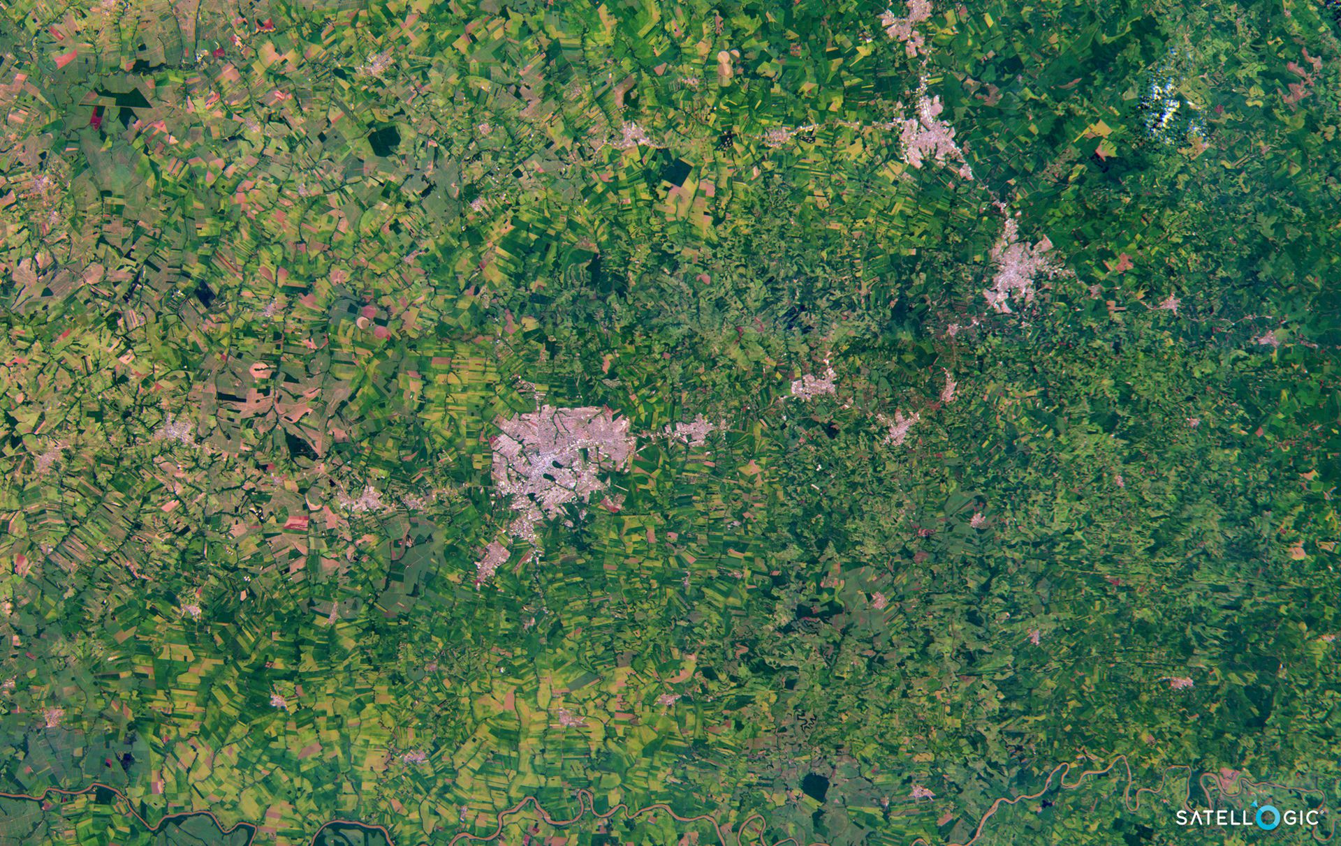
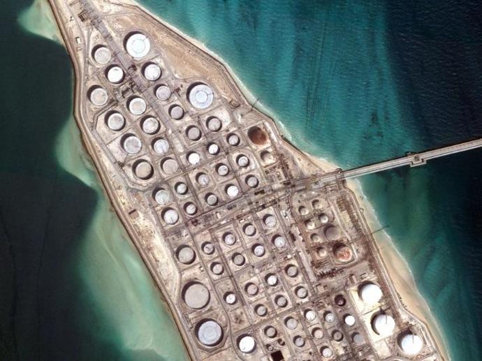
Satellogic - Multispectral
Multispectral imagery with sub-meter resolutions, perfect for high-frequency changes monitoring of infrastructure and natural environment.

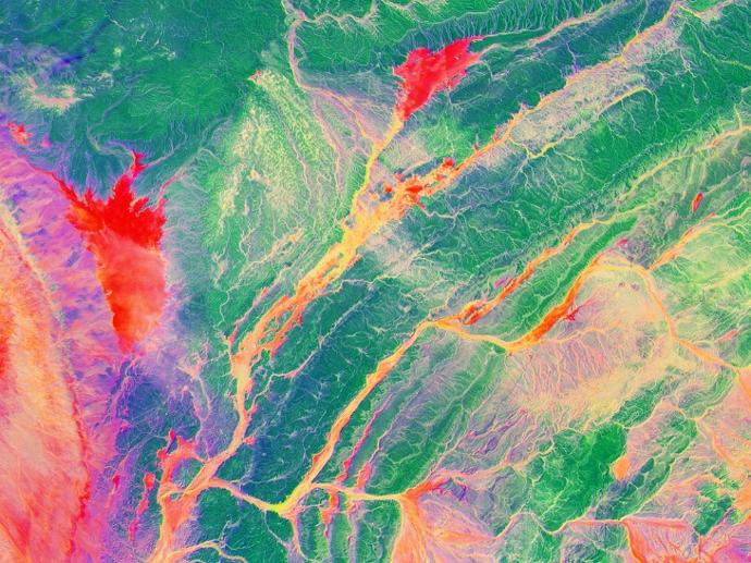
Satellogic - Hyperspectral
Gain insights into the chemical and molecular processes of crops, soil, aerosols, and effluents with 25-meter hyperspectral satellite imagery!

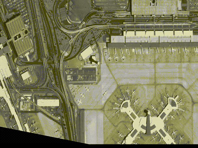
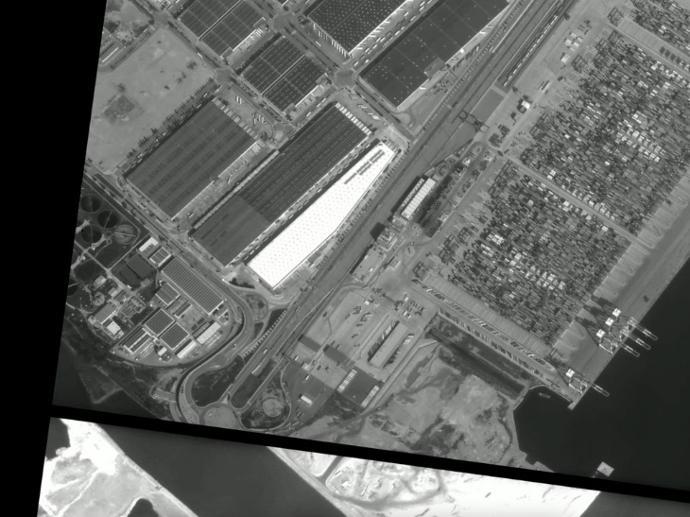
Satellogic - Full Motion Video
Understand behavior and track activity over time with Satellogic's space-based full-motion videos at 1-meter resolution!
Scale up your needs using Satellogic products
Thanks to the diverse nature of Satellogic's satellite data inventory, numerous applications can benefit from their usage! Are you into:
... maritime applications?
Detect ship and vessels
Monitor vessel navigation within ports
Monitor coastline
Generate shallow waters bathymetry
Map shallow waters seafloor
Determine shallow waters water quality
Forecast algal blooms
Support environmental regulations and Marine Protected Areas (MPAs)
... agriculture applications?
Evaluate vegetation health
Assess the feasibility of the crop considering climate and quality of land
Forecast production yield
Monitor drought
Determine water content of the field crop
Determin the soil moisture content
Classify and map different crop types
Optimize the number of plants per unit of area
... forestry applications?
Detect deforestation and forest degradation
Measure forest cover area
Detect forest trees' water stress
Detect forest trees diseases and insect infestation
Map forest tree specie
Calculate the number of trees per unit area (density)
Manage and monitor forest areas
Assess and manage wildlife habitat
... infrastructure applications?
Urban mapping
Detect and map land use and change
Locate construction and building alteration
Detect and map rooftop materials
Wide-area surveillance over construction sites
Monitor traffic congestion points over the same area
Understand behavior and activity
Did you find the application that you are working on in the above list, and in the meantime, don't know which satellite image product to select? Or do you wish to inquire on how you can exploit Satellogic data in your existing application? Then, don't hesitate to contact us!
Satellogic - Multispectral
Satellogic - Hyperspectral
Satellogic - Full Motion Video
Satellogic company profile
Founded in 2010 by Emiliano Kargieman and Gerardo Richarte, Satellogic (NASDAQ: SATL) is the first vertically integrated geospatial company, driving real outcomes with planetary-scale insights. Satellogic is creating and continuously enhancing the first scalable, fully automated EO platform with the ability to remap the entire planet at both high-frequency and high resolution, providing accessible and affordable solutions for customers.
Satellogic’s mission is to democratize access to geospatial data through its information platform of high-resolution images and analytics to help solve the world’s most pressing problems including climate change, energy supply, and food security. Using its patented Earth imaging technology, Satellogic unlocks the power of EO to deliver high-quality, planetary insights at the lowest cost in the industry.
With more than a decade of experience in space, Satellogic has proven technology and a strong track record of delivering satellites to orbit and high-resolution data to customers at the right price point.