Unmanned Aerial Vehicles (UAVs), also known as drones, are aircraft that are operated remotely without the need for a pilot on board. UAVs have become increasingly popular in recent years, and their applications are vast and diverse. In this blog post, we will discuss what UAVs are and some of their uses.
What are UAVs?
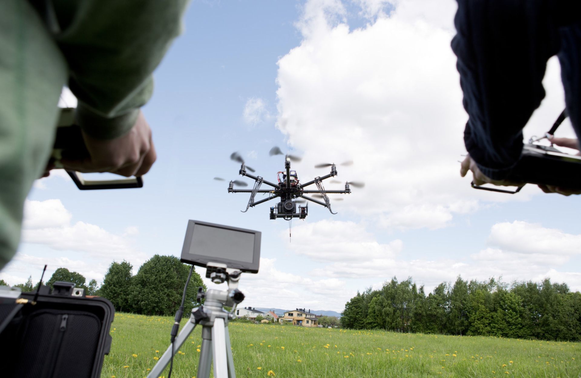
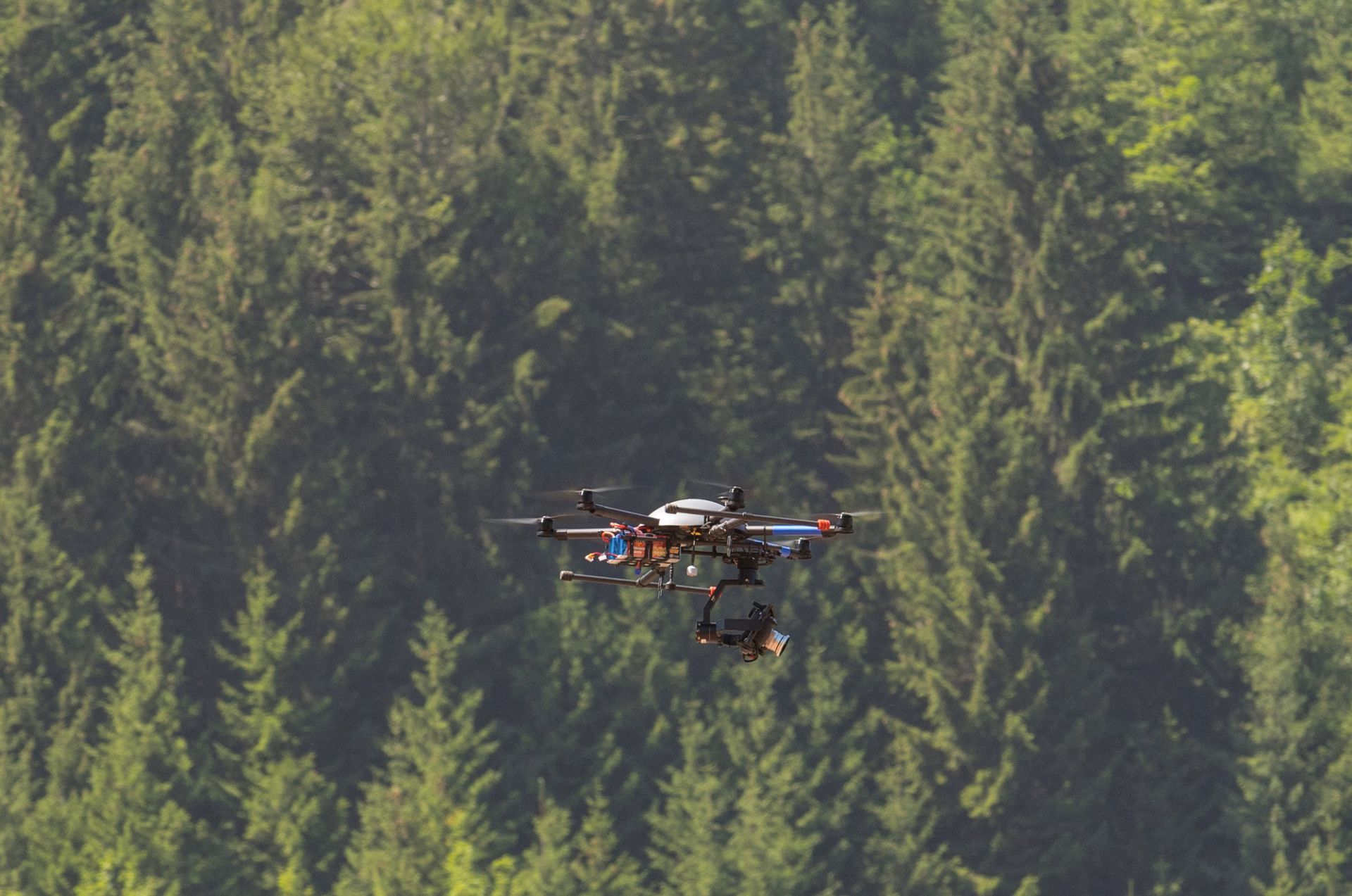
UAVs are small aircraft that are controlled remotely by a pilot on the ground. They are equipped with cameras, sensors, and other equipment that allow them to collect data and perform various tasks. UAVs come in different shapes and sizes, from small handheld models to large aircraft that can carry heavy payloads. They are powered by batteries or fuel and can fly for a few minutes to several hours, depending on their size and power source.
Uses of UAVs at Industry Level
Drones have found applications in a wide range of industries, from agriculture to infrastructure, and from maritime to energy sectors. Let's find out how UAVs are used in each of these industries:
Precision Agriculture
Agriculture is one of the most promising fields where UAVs have made a significant impact. UAVs are used in agriculture for crop monitoring, plant health analysis, and precision agriculture. Farmers can use drones to collect data about their crops and detect problems such as pests, nutrient deficiencies, and diseases. The data collected by the drones are used to create maps and identify areas that need attention, allowing farmers to target their resources more efficiently. UAVs also help farmers reduce the use of pesticides and fertilizers, resulting in cost savings and environmental benefits.
Infrastructure
Infrastructure maintenance and inspection are essential for ensuring public safety. However, it can be challenging and dangerous for human inspectors to access hard-to-reach areas. UAVs equipped with cameras and sensors can help inspect bridges, tunnels, and buildings more efficiently and safely. Drones can also be used for construction monitoring and to create 3D models of structures, enabling engineers to identify potential problems before they become severe.
Maritime and Coastal Monitoring
UAVs are also useful in maritime applications, including ocean research, search and rescue, and marine monitoring. UAVs equipped with cameras and sensors can collect data on water quality, temperature, and currents. This information is used to monitor marine ecosystems, identify environmental issues, and protect marine life. Drones can also help search and rescue teams locate and rescue people lost at sea.
UAVs can be used to monitor coastal erosion, sea level rise, and changes in beach morphology. The data collected can be used to assess the impact of climate change on coastal ecosystems, identify areas at risk of flooding, and develop strategies to mitigate the effects of sea level rise.
Find here the geospatial data and software that will take your project to another level!
From high to very high resolution datasets are available in cloudeo marketplace to match your exact needs.
Environmental Monitoring
UAVs equipped with sensors and cameras can be used to monitor water quality in lakes and rivers, track changes in vegetation health, and assess the impact of natural disasters on ecosystems. Additionally, they can also help detect wildlife poaching and aid in forest management by mapping deforestation and tracking forest fires. UAVs have become a valuable tool for environmental scientists, government agencies, and conservationists in the effort to monitor and protect the environment.
Energy
The energy industry is another area where UAVs have found applications. Drones can be used for inspecting power lines, wind turbines, and oil rigs, which can be difficult and dangerous for human inspectors. UAVs can collect data on the condition of equipment and identify areas that need maintenance or repair. Drones can also help companies reduce their environmental footprint by monitoring emissions and identifying potential leaks.
Forestry Management
UAVs are useful in forestry for monitoring forest health, detecting wildfires, and mapping deforestation. With advanced sensors and cameras, UAVs can collect high-resolution data on tree cover, forest structure, and vegetation health. This data can be used to assess the impact of climate change, identify areas at risk of deforestation, and plan reforestation efforts. UAVs can also detect forest fires in their early stages, which can aid in early detection and prevention.
Natural Disaster Response
UAVs are useful in natural disaster response for search and rescue operations, damage assessment, and mapping affected areas. In the aftermath of a disaster, UAVs equipped with cameras and sensors can quickly survey the affected area and provide detailed information on the extent of the damage. This data can be used to prioritize rescue efforts and allocate resources more efficiently. Additionally, UAVs can help locate missing persons and assess the stability of buildings and infrastructure. Examples of UAVs in natural disaster response include their use in hurricane and earthquake response efforts, where they have proven to be valuable tools in the effort to save lives and mitigate the impact of natural disasters.
These are just a few examples of the many ways UAVs are being used for earth observation. As technology continues to advance, we can expect to see even more innovative applications of UAVs in environmental monitoring and other areas of earth observation.