The usage of aerial photography captured by UAVs (Unmanned Aerial Vehicles) in remote sensing applications has seen a significant boost in the last several years. Their size and flexibility make them ideal for tasks where satellite imagery is not the best option. In this blog post, the second of our blog post series in collaboration with Globhe, we'll discuss the several types of data offered by UAV imagery, its applications, and some ways to use UAV aerial photography with satellite images.
Drone Imagery Data Types
There are many types of sensors you can mount to a UAV and each one captures different types of data. These are presented in the following table:
| Data | Sensor | Data type |
| Aerial Photo / Video | RGB | JPG / MPG |
| Orthomosaic Map | RGB | GeoTIFF, ECW, JPG |
| Thermal Imagery | Thermal | TIF |
| Multi-spectral Imagery | Multi-spectral | TIF |
| Hyper-Spectral Imagery | Hyper-Spectral | BSQ, BIP, BIL |
| 3D Pointcloud Model | LiDAR or RGB | LAS |
The data that is more commercially available is the one that is captured with an RGB (Optical) sensor, either for personal use such as simply capturing photos and videos using a drone, or for work-related uses like remote sensing applications.
A Comprehensive Guide to GLOBHE Products and Their Applications
Unlocking the Potential of Drone Technology, from LiDAR to Thermal Maps.
Markets where Drone imagery has the Competitive Advantage
Besides the commercial use that aerial photography using drones provides, like the real estate industry, filming, digital marketing, and event planning such as festivals or music concerts, using drone-captured aerial photographs has become crucial in remote sensing. Sectors that benefit from it are:
• Agriculture: Utilizing UAVs in remote sensing can aid the observation of crop growth, weed and water management, and disease monitoring in fine detail.
• Forestry: Satellite imagery cannot provide the spatial resolution to adequately research forest plant classification, forest disease, or forest structure parameters. The ability of UAVs to use multi-spectral cameras helps solve the problem
• Construction: The cost-effective use of UAVs and their accessibility make them ideal for site monitoring, surface and volume measurements, and infrastructure evaluation
• Environmental Monitoring: The ability to strap various sensors on UAVs and monitor things such as air quality, wildfires, vegetation, etc, and the fact that they can reach places where satellite images cannot, makes them an excellent choice for the sector
• Oil and Gas Industry: Mapping, inspecting, and monitoring oil collection sites benefits from the cost-efficient, fast, and safe use of UAV aerial photography.
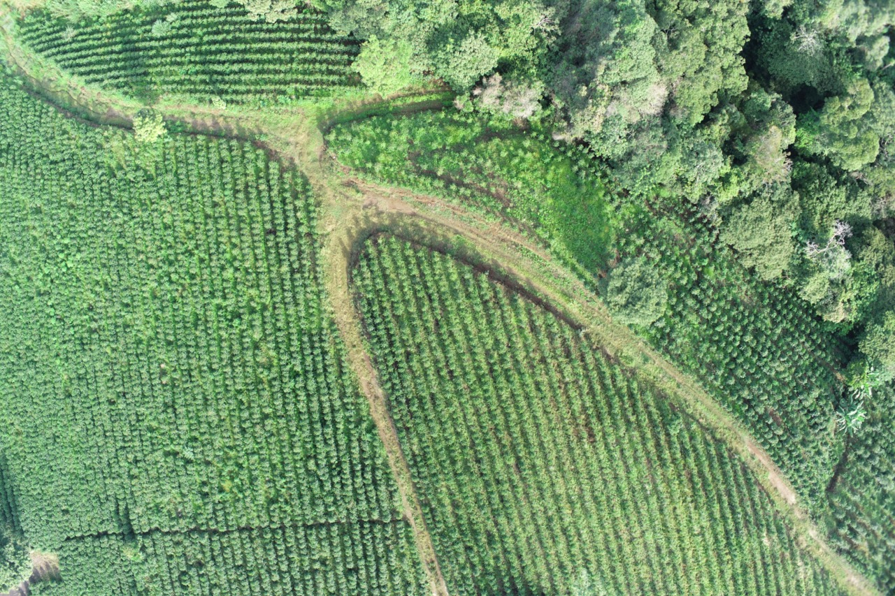
Drone image for crop monitoring. Source: Globhe
Combining UAV with Satellite Imagery
Using drone-captured photos with satellite image acquisitions is an under-exploited part of UAV aerial photography. The main uses are found to be ecology and precision agriculture while applications to geosciences and disasters are less common. Uses in urban areas are also rare. There are several models being developed to combine data acquired from both UAVs and satellites, namely the following:
• Data comparison: this method does not actually combine the data, but it is used as a complementary way to study the data.
• Multiscale explanation: this strategy combines the observation scales of each data source to interpret the data better.
• Model calibration: it uses one data source to calibrate a model (qualitative or quantitative) based on the other data source.
• Data fusion: this technique aims to fully utilize each data source's attributes to produce new data.
Crop damage assessment over Borgo Serraglio, Italy
How multispectral ultra-high-resolution drone imagery can assist in the detailed extraction of parcel-level scars left behind by a flood event.
Conclusion
In conclusion, UAVs have revolutionized remote sensing with their compact size and cost-effectiveness. They offer various data types, from RGB photos to thermal imagery, benefiting sectors like agriculture, forestry, construction, environmental monitoring, and the oil and gas industry.
UAV aerial photography continues to reshape data acquisition and analysis, driving innovation across industries. Several models are being developed for drone and satellite data integration through methods like data comparison, multiscale explanation, model calibration, and data fusion. As technology advances, we can expect even more synergies between UAVs and satellites, opening new frontiers for exploration and applications in the future.
Need a custom solution for your project?
Tell us about it. Fill out the form below with all the necessary information. Our sales team will gather the most suitable drone image data of up to 1cm spatial resolution and contact you as soon as possible.