Real estate is completely intertwined with location; and with location come inherent uncertainties: what environmental hazards could affect a specific site? Or, before construction, what would it be the most convenient area for logistics? All these questions consider the often-overlooked factor of elevation.
Elevation datasets are made available as a digital surface model (DSM) or digital terrain model (DTM). With a DSM, it is possible to see buildings and trees, whereas, with a DTM, just the bare earth surface is presented. A DSM might be particularly useful for visualizing hazards down to the individual building level. A DTM might be more useful for slope and soil removal calculations.
So how can elevation data assist in real estate operations?
Construction logistics
In real estate development, before you select a site for a new building, many aspects must be examined, before the construction phase. Logistics within real estate is not a new concept; however, new technologies are taking it to the next level. High-powered modeling software and precision data allow the industry to plan and better identify potential issues before they happen.
The elevation is used not only to identify hazards but also to estimate how much preparation will be necessary on a landscape for new construction, including grading and calculating how much soil needs to be removed or added. Costs can be estimated ahead of time and better budgeted even before the first survey occurs.
Environmental uncertainties
One of the most commonly overlooked aspects before investing is mitigating environmental uncertainties on the site, many of which can be attributed to elevation. The elevation is an important indicator for many costly hazards associated with a specific location of interest, such as landslides, flooding, sea-level rise, and accessibility.
Landslides
The slope is an important component in calculating the chance of landslides. Although it is not the only factor, it can be an important indicator, especially if homes are built on a steep slope or on the top of a hill close to the slope edge. Slope information can be generated from elevation data using GIS software, so all buildings and areas that are located on steep slopes can easily be mapped and further monitored.
Find out geospatial products for Real Estate applications
Elevation datasets and satellite imagery of centimeter accuracy are available to support your projects!
Flood Assessment
Elevation data can be used to evaluate the risk of flooding. Suppose an area is close to a river, in a floodplain, or has previously experienced flash floods. In that case, elevation can reveal how much water the property would be subjected to in a flooding event. And how can you do that? By finding the lowest elevations nearby a river or running hydrology analysis in professional GIS analysis software on the elevation data.
Sea level rise
Coastal properties face the risk of rising sea levels. How close to the water should a waterfront property be if there are just a few inches of sea-level rise? How does that affect the property value long-term? The answer would be revealed by using the elevation data in GIS software to estimate where the new coastline would be with a loss of coastline due to a rise in sea level.
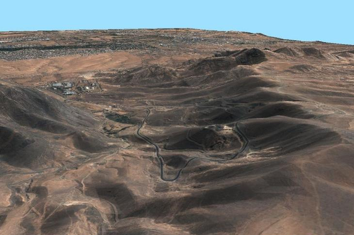
Accessibility
During the construction phase, how will the materials be brought to the site? Are roads and infrastructure good enough for large trucks to bring the materials? If flooding or a landslide were to occur, how would that affect access to the site? To investigate problems that would prevent the accessibility to a site, building, or area in general, elevation data could be a solution. What can you do? Overlay infrastructure data, such as buildings, roads, railway networks, ports, and airports, with elevation data in GIS software. Identify where roads run along with landslide-prone steep areas or if roads at low elevations near your area of interest are at risk of flooding.
Conclusion
With precise elevation models that reach up to centimeter resolution, you can quickly analyze your area of interest to determine the feasibility of a new site before you build to minimize the uncertainty of future issues. And don't forget: a quick analysis in GIS software can reveal more than meets the eye.
Need a custom solution to support your real-estate activities?
Tell us about it. Fill out the form below with all the necessary information. Our sales team will gather the most suitable satellite image datasets of up to 30cm spatial resolution and contact you as soon as possible.