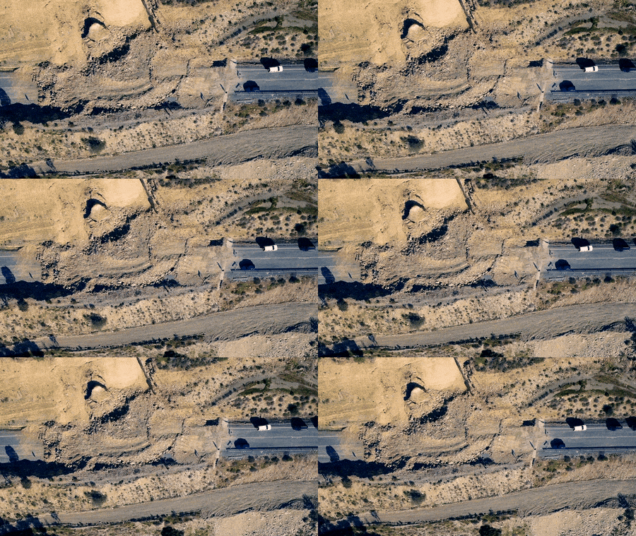
In the infrastructure industry, the integration of drone and satellite imagery offers a transformative approach that enhances project efficiency, accuracy, safety, and sustainability throughout various stages of development. This synergy provides invaluable insights for planning and design, where satellite data offers macro-level perspectives while drones capture detailed site surveys. Engineers and planners can make informed decisions based on these data, optimizing layouts and minimizing risks of costly redesigns.
Unraveling the Potential
During construction, real-time monitoring powered by drone and satellite imagery enables project managers to track progress, allocate resources efficiently, and ensure adherence to timelines. By identifying potential issues early, teams can address them promptly, mitigating delays and cost overruns. Moreover, drones provide access to hard-to-reach or hazardous areas, improving workplace safety and reducing risks for personnel.
The cost efficiency of drone and satellite imagery is remarkable. Drones capture high-resolution imagery at a fraction of traditional costs, while satellite data offers cost-effective coverage of large areas. This optimization translates into savings throughout the project lifecycle. Furthermore, the environmental impact of infrastructure projects can be assessed comprehensively using satellite imagery combined with drone data. This allows developers to implement mitigation measures and minimize negative effects on ecosystems and habitats.
Regulatory compliance is streamlined through the documentation provided by drone and satellite imagery. Projects can demonstrate adherence to environmental, land use, and safety standards, ensuring legal obligations are met and potential penalties or delays are avoided. Ultimately, the integration of these imaging technologies enables data-driven decision-making at every stage of a project. From initial site selection to ongoing maintenance, stakeholders can optimize performance, minimize risks, and maximize return on investment. As technology evolves, the integration of drone and satellite imagery will continue to shape the future of infrastructure development and management.

Ένας ολοκληρωμένος οδηγός για τα προϊόντα GLOBHE και τις εφαρμογές τους
Ξεκλειδώνοντας τις δυνατότητες της τεχνολογίας drone, από το LiDAR έως τους θερμικούς χάρτες.
Examples of Drone and Satellite Imagery Integration
Consider construction progress monitoring, where satellites provide broad-scale coverage to monitor overall project progress and identify large-scale changes over time. Drones, however, offer detailed, close-up views of specific areas, enabling project managers to detect fine-grained details and potential issues that may not be visible from space. By integrating satellite imagery for macro-level monitoring and drones for micro-level inspections, construction teams can effectively track progress and ensure quality control.
Infrastructure asset inspection is another area where this combination shines. Satellites equipped with high-resolution sensors capture large-scale imagery of infrastructure assets, while drones excel at capturing detailed, close-up imagery required for asset inspection and condition assessment. By combining satellite imagery for initial surveys and drone imagery for detailed inspections, infrastructure operators can identify structural defects, corrosion, and other issues with greater accuracy and efficiency.
In environmental monitoring, satellites provide frequent, wide-area coverage of parameters like land cover, vegetation health, and water quality. Drones equipped with specialized sensors complement satellite data by collecting ground-level measurements and capturing high-resolution imagery of specific environmental features. This integration enables environmental scientists and policymakers to monitor changes in ecosystems, assess the impact of infrastructure projects, and make informed decisions about conservation and resource management.
During emergency response and disaster management, satellites quickly capture imagery of disaster-affected areas, providing valuable information for emergency responders. Drones, then, perform detailed assessments of infrastructure damage, search for survivors in hard-to-reach areas, and assist in coordinating rescue and relief efforts. By integrating satellite and drone data, emergency response teams prioritize resources effectively and expedite recovery operations following natural disasters and emergencies.
In urban planning and development, satellites monitor urban growth, land use changes, and infrastructure development over time. Drones provide detailed, up-to-date imagery of construction sites, transportation networks, and other urban features, enabling planners and policymakers to assess the impact of new developments and make informed decisions about future projects. Combining satellite and drone data allows urban planners to optimize land use, improve transportation systems, and create more sustainable cities.
In summary, the combination of drone and satellite imagery enables stakeholders in the infrastructure industry to extract meaningful insights, monitor changes, assess risks, and make informed decisions across various domains. Leveraging the complementary strengths of these technologies improves efficiency, enhances safety, and ensures the long-term sustainability of infrastructure projects.
Need ultra-high resolution imagery from above?
Drone data is your solution. Check Globhe's drone imagery products and services and order your imagery now.