WorldDEM™ Neo
The next level of Global Elevation Models joining the Airbus Elevation portfolio is WorldDEM™ Neo. Pole-to-pole coverage coupled with unrivaled accuracy and quality - these are the defining characteristics of WorldDEM™. The accuracy surpasses that of any global satellite-based elevation model available today and defines a new industry standard.
WorldDEM™ Neo combines global coverage, very high accuracies of WorldDEM coverage with up-to-date, fresh data acquisition (since 2017), and unique resolution, setting a new standard in satellite-based elevation models that are globally available today.
The WorldDEM™ Neo product is an edited Digital Surface Model (DSM) based on the combination of the TanDEM-X Change raw DEM data acquired and processed by the German Space Agency (DLR) and the WorldDEM product. The unique data quality and level of detail at 5m horizontal spacing, WorldDEM™ Neo elevation model facilitates a wide range of applications such as line-of-sight-analysis, hydrological modeling, satellite imagery orthorectification, and much more. Worldwide availability makes it a robust reference layer for risk assessments and investigations of global phenomena.
Need a sample to test the product before ordering?
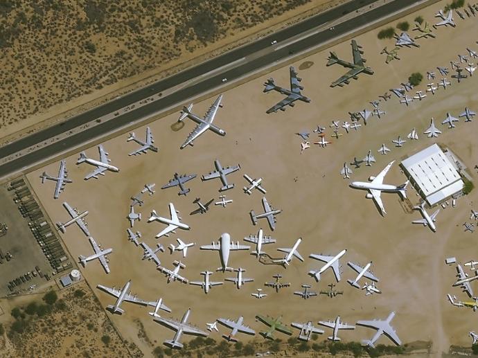
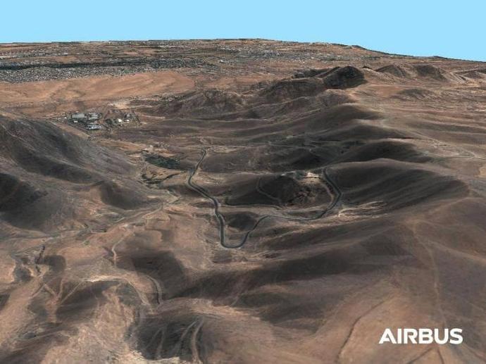
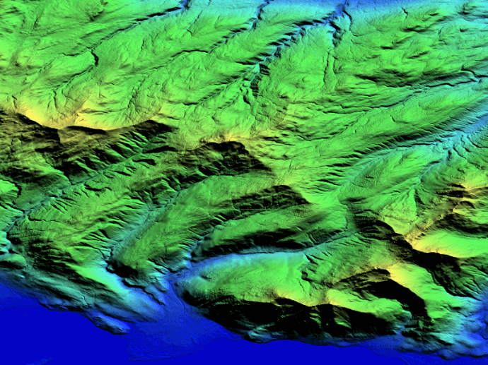
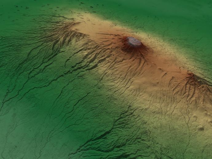
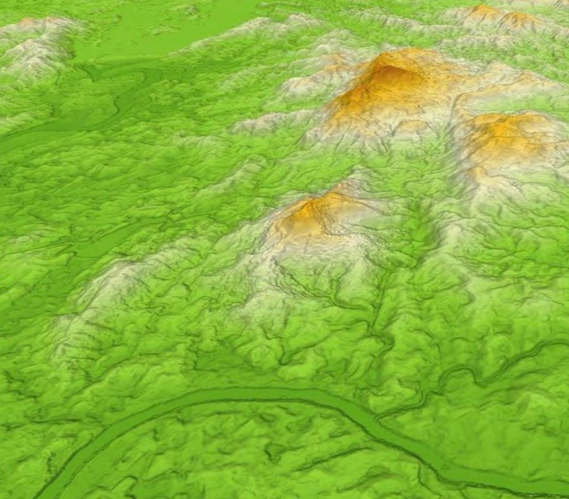
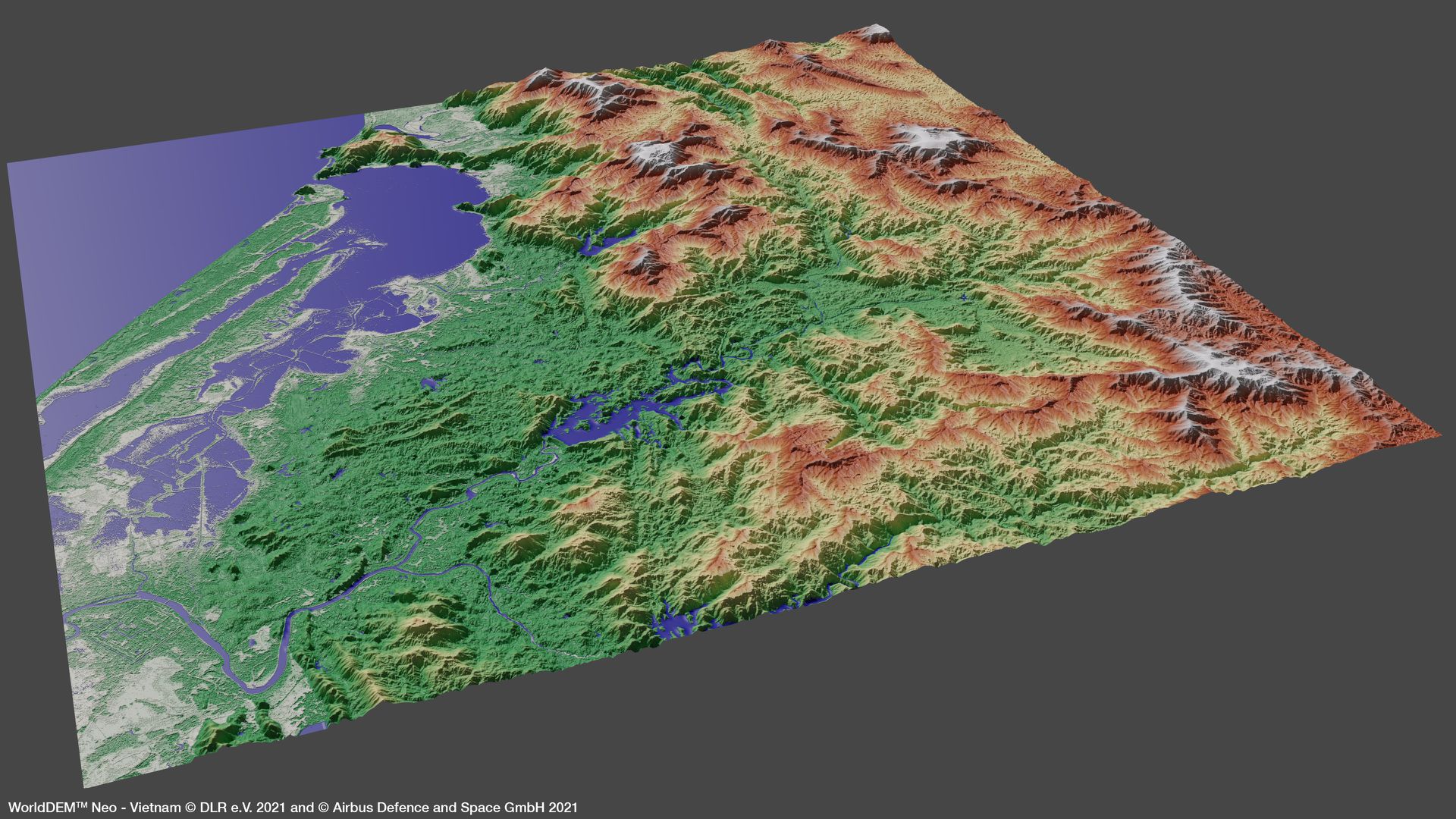
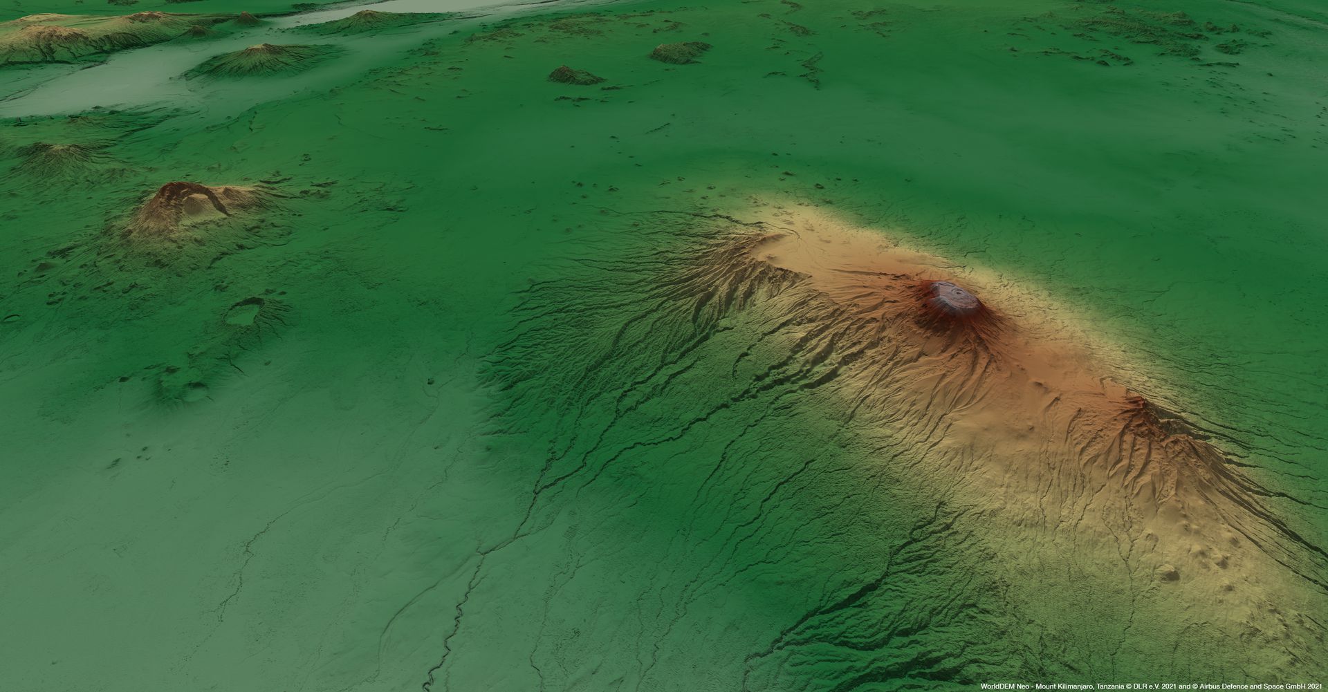
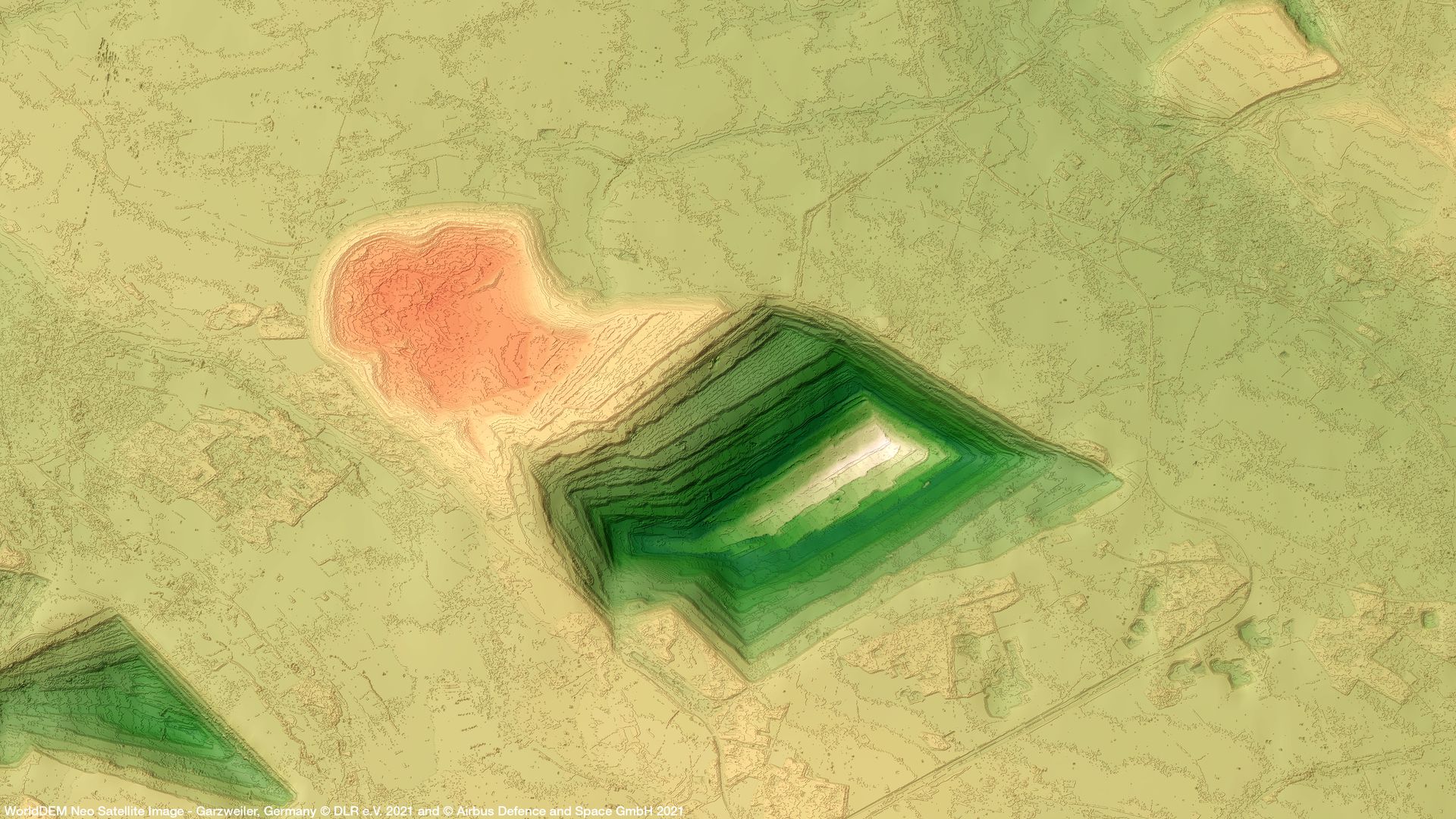
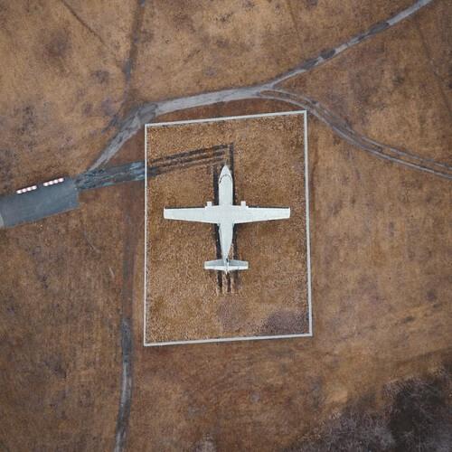
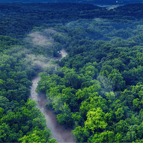
Gallery
Key features
2m (relative) / 2.5m (absolute) vertical accuracy.
Homogeneous, seamless, pole-to-pole coverage.
Up-to-date elevation model from fresh data acquisitions since 2017.
5m pixel spacing for every spot on Earth.
Globally off-the-shelf availability.
Edited Digital Surface Model including editing of terrain features and with assured hydrological consistency.
Key applications

Infrastructure
Intelligent transportation systems (ITS)
Rendering of 3D visualizations
High-quality image orthorectification
Rendering of 3D visualizations
High-quality image orthorectification
Defence
Timely intelligence for emergency response
Improved flight safetyand efficiency for defence & security missions
Cross-border mission planning
Improved flight safetyand efficiency for defence & security missions
Cross-border mission planning
Environment
Modeling water flow for hydrology
Extracting terrain parameters for geomorphology
Delineation of the shoreline
Extracting terrain parameters for geomorphology
Delineation of the shoreline
FAQs
In GeoTIFF (32 Bit Floating point).
The WorldDEM™ Neo delivery package contains the following auxiliary information:
Amplitude Mosaic
Editing Mask
Filling Mask
Height Error Mask
Scene Mask
Source Vector
Weighted Combination Mask
Metadata
For more information please see the official WorldDEM™ Neo Technical Product Description.
The minimum AOI size is 100 km² per request. The minimum AOI width is 1km for DSM.
No worries, we've got you covered. Additional DEM variants, formats, or re-projection are available on-demand and subject to customized pricing. Please fill out the Quotation Form below and add your exact needs in the 'Remarks' section. We will contact you as soon as possible!
The official Airbus Technical Product Specification guide for the WorldDEM DSM and DTM can be found here.
The EULA of WorldDEM is under the authority of Airbus Defence & Space and can be found here.