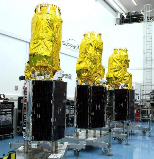
TripleSat
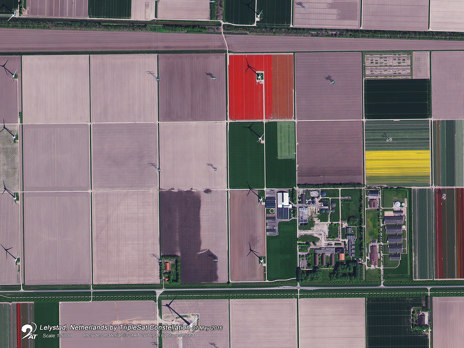
TripleSat Constellation data can be used to identify and analyze nearly 100 different land cover features, from man-made structures and surfaces to agriculture fields, bodies of water, bare land and rock, forests, and more.
A time series of images can be used to detect or monitor change in areas and features of interest for applications like insurance, environmental regulation, and Business Intelligence. It is an ideal solution for tasks like surveillance and analysis for agriculture monitoring, precision farming, natural disasters, forest management, ocean, and water monitoring, and land cover classification – just to name a few.
Some general information of TripleSat imagery:
Spectral bands | Blue: 475 nm Green: 548 nm Red: 634 nm NIR: 834 nm PAN: 550 nm |
| Radiometric resolution | 8 or 16 bit |
| Coverage | Worldwide |
| Cloud cover | 0-15% default, other options available upon request |
| Available services | Archive or Tasking |
TripleSat Archive
You can request panchromatic imagery (PAN) and multispectral imagery (MS) for any area in the world excluding China (minimum order for tasking service is 25 km²) with a revisit rate of 45 to 90 days over the same area.
TripleSat Tasking
With a standard tasking window of 45 days (under good weather conditions) to 90 days (for bad weather conditions), you can request panchromatic imagery (PAN) and multispectral imagery (MS), over anywhere in the world, excluding China (the minimum order is 100 km²).
The imagery comes in two processing levels:
| L1 | L2 | |
Processing level | Radiometrically and sensor corrected | L1 + projected to a plane using the map projection and datum of the customer's choice |
| Packages | Bundle (PAN + 4 MS bands) | Pansharpened bundle (PAN + 4 MS bands) or Pansharpened stereo bundle (PAN + 4 MS bands) |
| Spatial resolution | 0.8m PAN 3.2m MS | 0.5m PAN 2.0m MS |
| Geometric precision | <50m excl. terrain effects | <20m excl. terrain effects |
| Data format | TIFF | TIFF, GeoTIFF 1.0 |
Please note that the service is available for customers living in one of the following countries:
Austria, Belgium, Bulgaria, Denmark, Germany, Estonia, Finland, France, Greece, Ireland, Iceland, Italy, Croatia, Latvia, Liechtenstein, Lithuania, Luxembourg, Malta, Netherlands, Norway, Poland, Portugal, Romania, Sweden, Slovenia, Slovakia, Spain, Switzerland, Czech Republic, Hungary, Cyprus, United Kingdom.
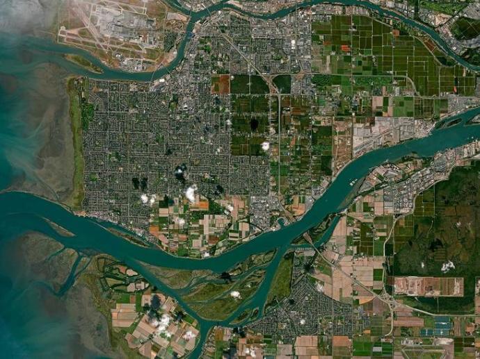
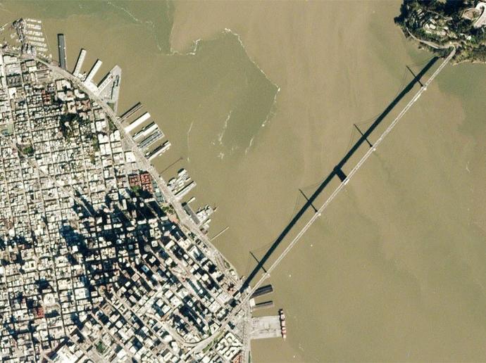
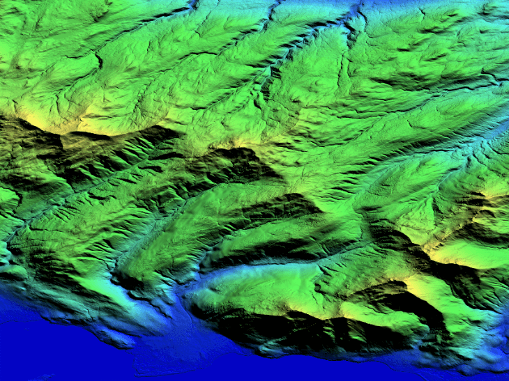
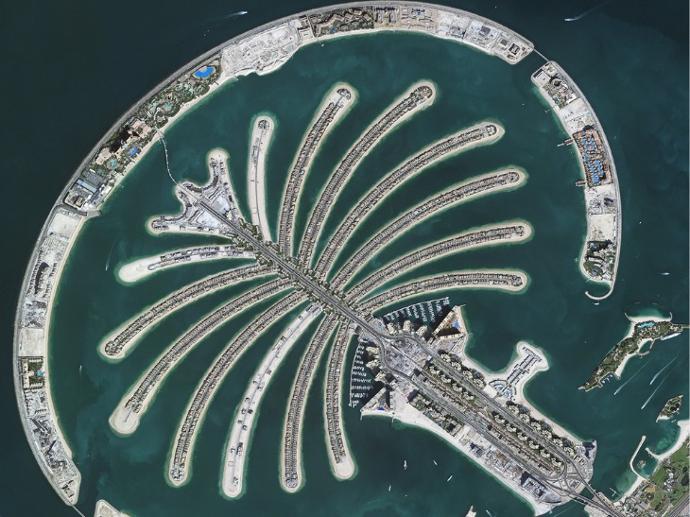
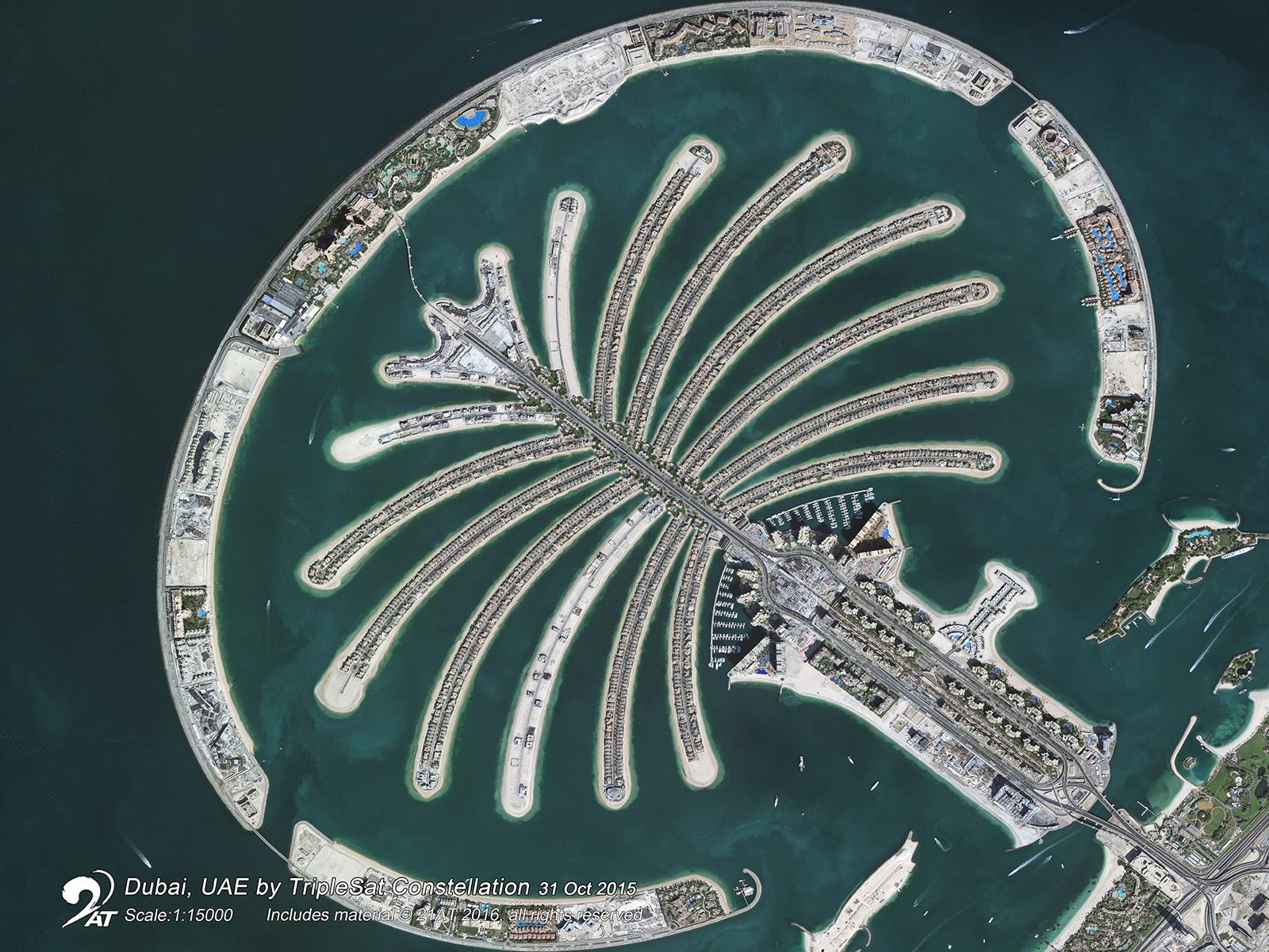
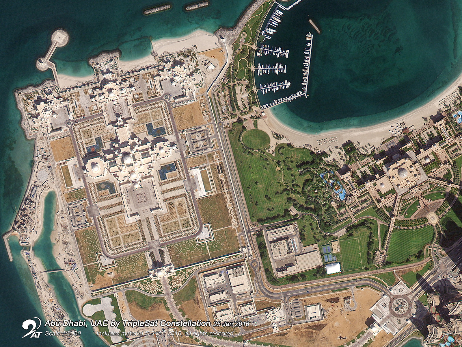
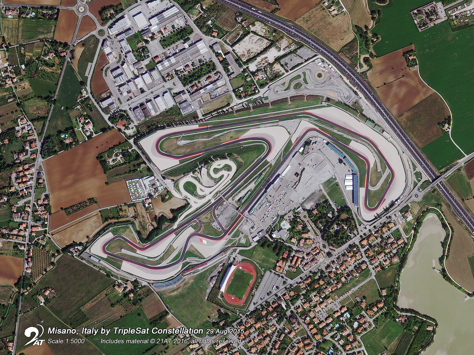
Gallery

Key features
Access to very high-resolution imagery at up to 0.8m.
4 most common spectral bands are available (blue, green, red, near-infrared).
Daily targeting capability depending on the location.
Cloud-free image selection for efficient download.
Imagery archive since 2015.
Acquisition capacity of half a million km2
per day.
Key applications

Agriculture
Assessment of crop damage
Crop condition analysis and stress detection
Forecast production yield
Assessment of crop damage
Crop condition analysis and stress detection
Forecast production yield
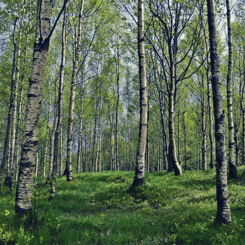
Forestry
Vegetation monitoring in complex ecosystems
Burned and flooded forest mapping/monitoring
Forest tree species mapping
Vegetation monitoring in complex ecosystems
Burned and flooded forest mapping/monitoring
Forest tree species mapping

Marine
Shallow waters water quality
Coastline monitoring
Shallow waters seafloor mapping
Shallow waters water quality
Coastline monitoring
Shallow waters seafloor mapping
FAQs
The maximum off-pointing angle of TripleSat is 45°. At 35° latitude, with three satellites in a constellation, it is capable of targeting anywhere on the Earth once per day.
An indication of the revisit time over an AOI is illustrated in the table below:
| Latitude/ Off-pointing | 5° | 15° | 25° | 35° |
| 0° | 8 days | 3 days | 2 days | Daily |
| ±10° | 8 days | 3 days | 2 days | Daily |
| ±20° | 8 days | 3 days | 2 days | Daily |
| ±30° | 7 days | 3 days | 2 days | Daily |
| ±40° | 7 days | 2 days | 2 days | Daily |
| ±50° | 6 days | 2 days | Daily | Daily |
| ±60° | 4 days | 2 days | Daily | Daily |
| ±70° | 3 days | Daily | Daily | Daily |
| ±80° | 2 days | Daily | Daily | Daily |
No; new Tasking locations and predicted timelines are firstly subject to feasibility study results.
The minimum order size for:
Tasking is 100 km², with a minimum length of each side of the polygon of 5 km.
Archive is 25 km².
When your order is ready, you will be informed about the download links via e-mail. Data will remain on 21AT servers for 14 days after notification. After that, the data will be removed.
In case more than one AOI is required, please contact us for a custom order tailored to your needs.
The EULA of TripleSat is under the authority of 21AT Asia and can be found here.