SkySat Archive
The rich archive is perfect for monitoring historical change and assessing trends with the most recent before and after images available, and for use to train machine learning and computer vision algorithms.
Two SkySat products are available:
- SkySat Basic Scene Product (L1), that includes Analytic, Analytic DN, L1A Panchromatic DN, and Panchromatic imagery that is uncalibrated and in a raw digital number format. The Basic Scene Product is not corrected for any geometric distortions inherent in the imaging process, and is not mapped to a cartographic projection.
- SkySat Ortho Scene Product (L3), that includes Visual, Analytic DN, Analytic, Panchromatic, and Pansharpened Multispectral imagery. The Ortho Scene product is sensor- and geometrically-corrected, and is projected to a cartographic map projection. The geometric correction uses fine Digital Elevation Models (DEMs) with a post spacing of between 30 and 90 meters.
Please see the table below for more details about each level. There is no minimum AOI for SkySat archive data. Please note the minimum purchase price for archive data is €4,500.00.
Processing level | Basic Scene (L1) | Ortho Scene (L3) |
Analytic | Unorthorectified, radiometrically corrected, multispectral BGRN* | orthorectified, multispectral BGRN*. Radiometric corrections applied to correct for any sensor artifacts and transformation to top-of-atmosphere radiance |
Analytic DN | Unorthorectified, multispectral BGRN* | Orthorectified, multispectral BGRN*, uncalibrated digital number imagery product. Radiometric corrections applied to correct for any sensor artifacts |
| Panchromatic | Unorthorectified and radiometrically corrected panchromatic (PAN) | Orthorectified and radiometrically corrected panchromatic (PAN) |
| Panchromatic DN | Unorthorectified panchromatic (PAN) | orthorectified, panchromatic (PAN), uncalibrated digital number imagery product |
| L1A Panchromatic DN | Unorthorectified, pre-super resolution, panchromatic (PAN) | - |
| Visual | - | Orthorectified, pansharpened, and color-corrected (using a color curve) 3-band RGB Imagery |
| Pansharpened Multispectral | - | Orthorectified, pansharpened 4-band BGRN* Imagery |
*BRGN: Blue-Green-Red-Near Infrared (4 bands)
And some general info for the SkySat constellation:
Launch | SkySat-1: November 21, 2013SkySat-2: July 8, 2014SkySat-3: June 22, 2016SkySat-4,5,6,7: September 16, 2016SkySat-8,9,10,11,12,13: October 31, 2017SkySat-14,15: December 3, 2018SkySat-16,17,18: June 13, 2020SkySat-19,20,21: August 18, 2020 |
Orbit | Skysat 1-15: Sun-synchronous Skysat 16-21: inclined, non sun-synchronous |
Spectral bands | Pan: 450 - 900 nm Blue: 450 - 515 nm Green: 515 - 595 nm Red: 605 - 695 nm NIR: 740 - 900 nm |
| Spatial resolution | 0.5m (resampled) |
| Radiometric resolution | Visual: 8 bit Analytic, panchromatic, and pansharpened multispectral: 16 bit |
| Geometric precision | <10 m RMSE |
| File structure | GeoTIFF |
| Revisit time | Daily |
Need a sample to test the product before ordering?
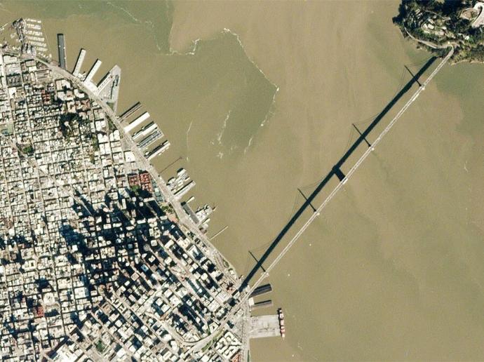
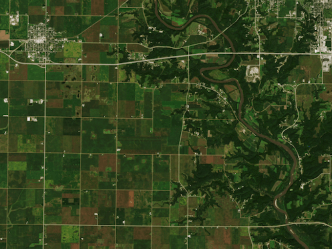
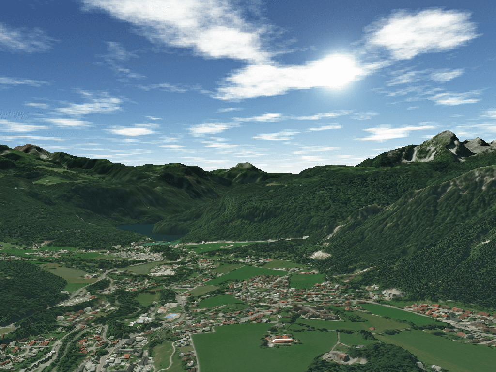
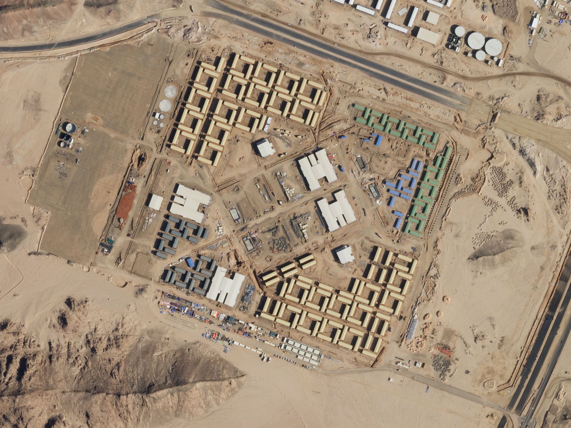
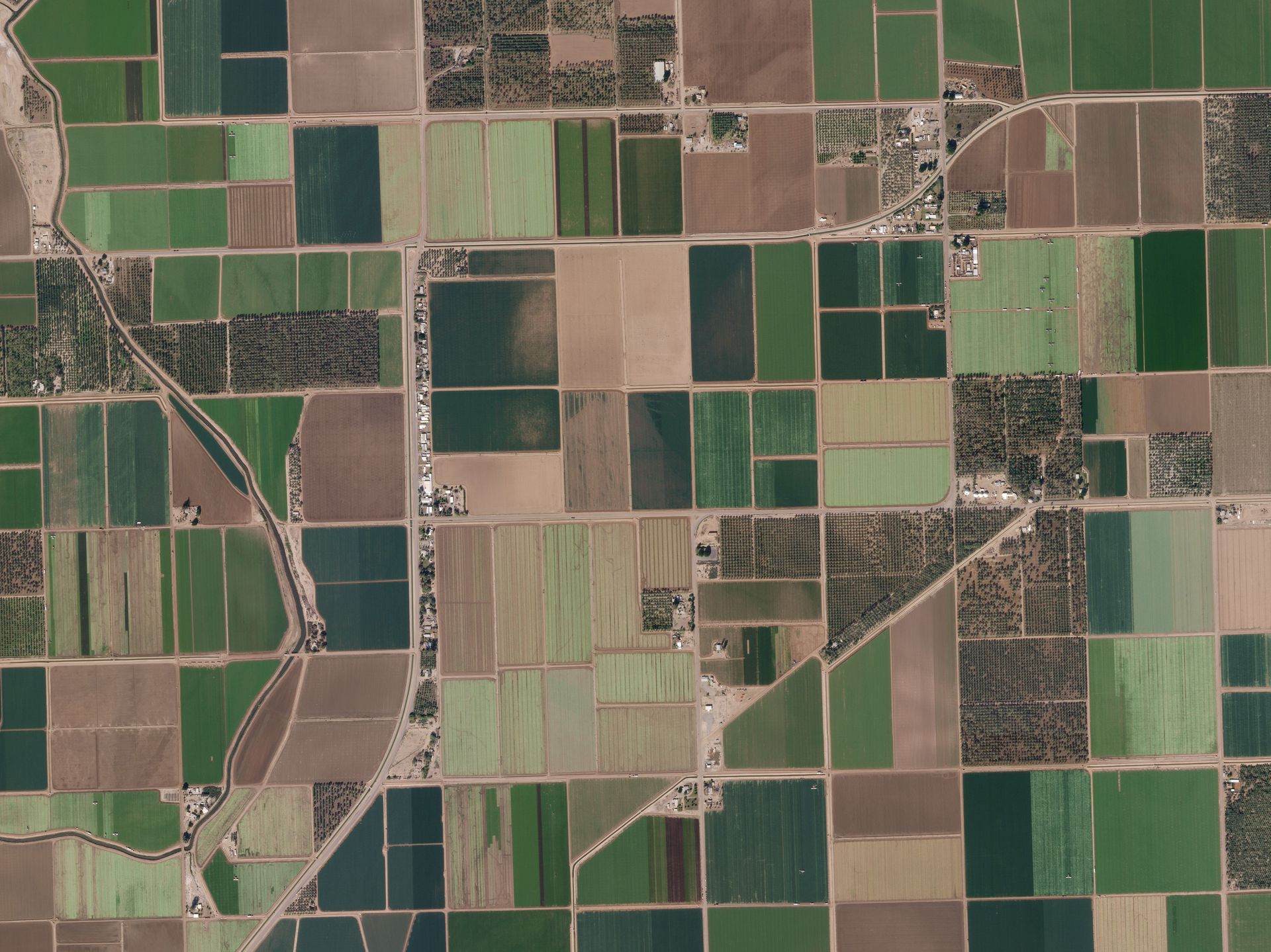
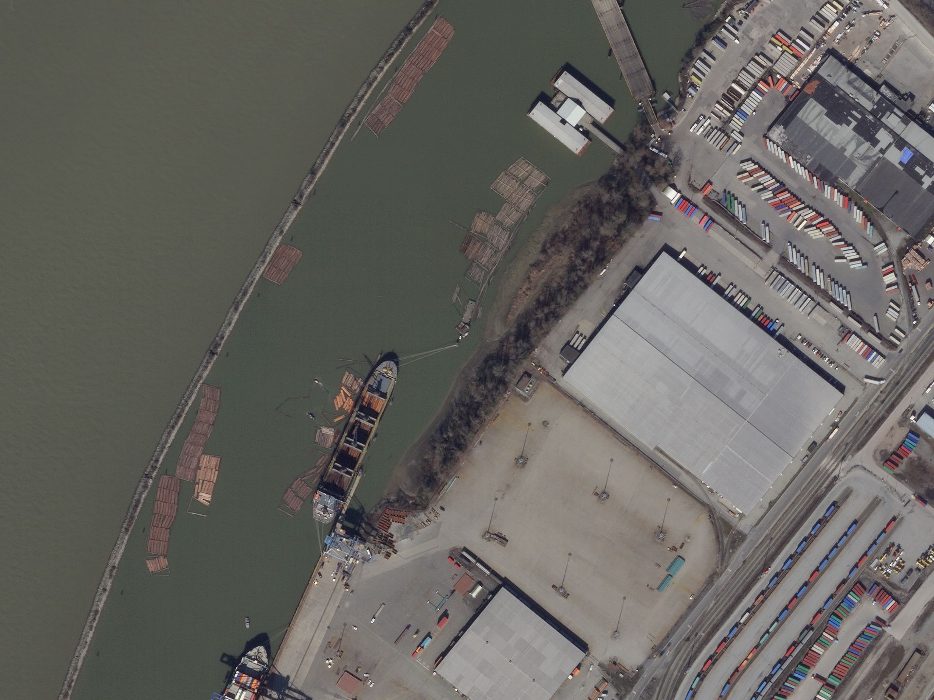
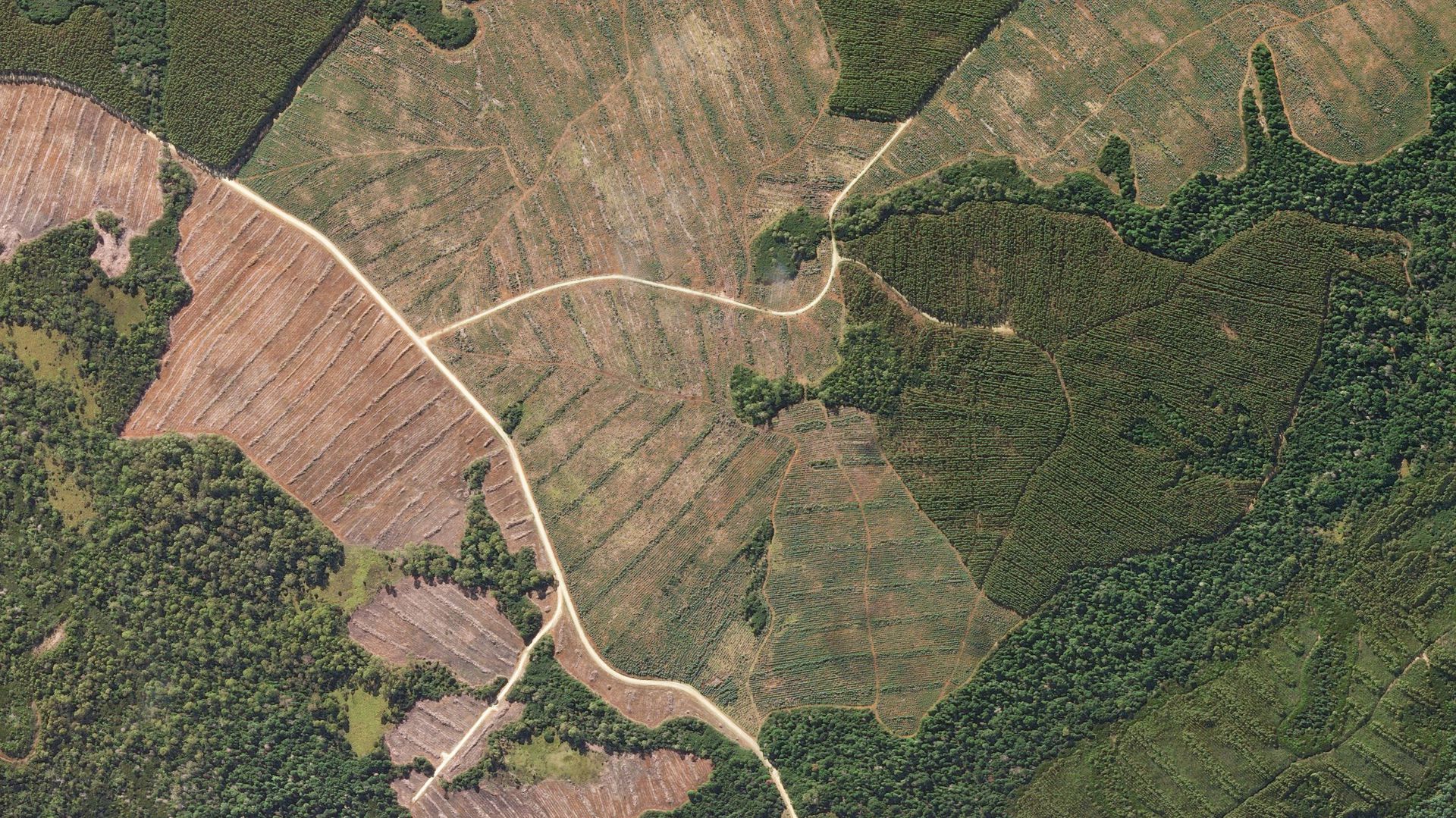
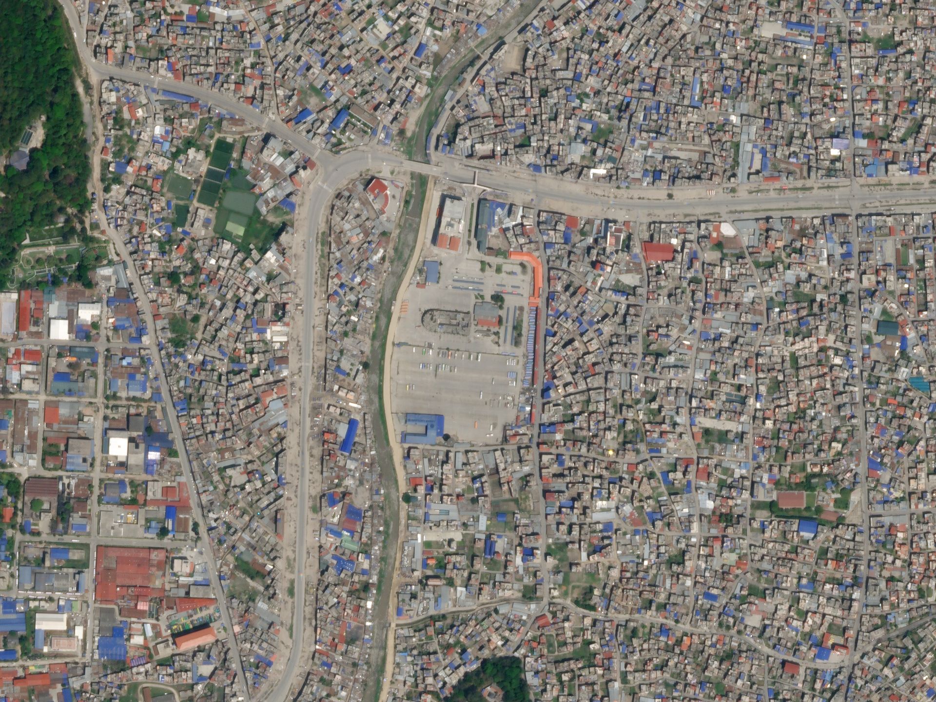
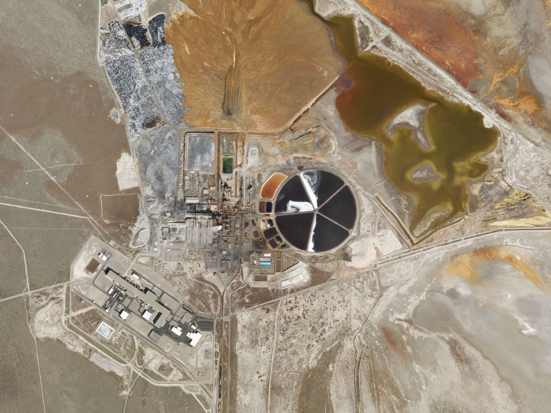
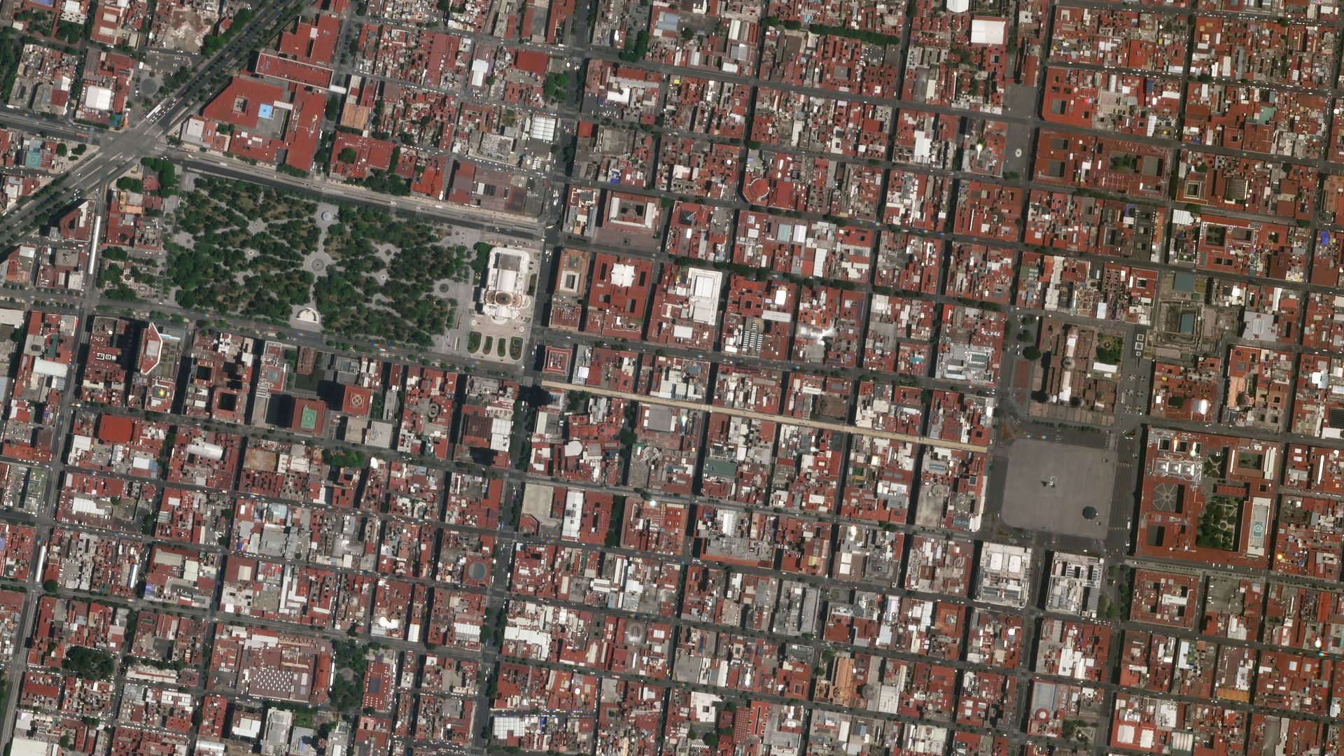
Gallery
Key features
Access to very high resolution imagery at 0.5m
Color-corrected and sensor-calibrated multispectral products
10+ million km² of available imagery
Availability of different processing levels
Ready-to-use orthorectified imagery products
OGC compliancy
Key applications

Agriculture
Agronomic insights through field-level detail
Monitoring and analysis of field and crop health
Continuous crop yield modelling and estimation
Agronomic insights through field-level detail
Monitoring and analysis of field and crop health
Continuous crop yield modelling and estimation

Infrastructure
Crisis mitigation and prevention
Monitor construction sites
Detection of illegal changes to land use
Crisis mitigation and prevention
Monitor construction sites
Detection of illegal changes to land use
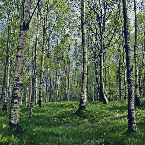
Forestry
Prevention of illegal and unpermitted forest clearing
Timber harvest optimization
Monitoring and management of forest health
Prevention of illegal and unpermitted forest clearing
Timber harvest optimization
Monitoring and management of forest health
FAQs
The SkySat L1 Basic Scene product is a Scaled Top of Atmosphere Radiance (at sensor) and sensor corrected product, without correction for any geometric distortions inherent in the imaging processes and is not mapped to a cartographic projection. The imagery data is accompanied by Rational Polynomial Coefficients (RPCs) to enable orthorectification by the user. This kind of product is designed for users with advanced image processing and geometric correction capabilities.
The SkySat L3 Ortho Scene product is radiometrically-, sensor- and geometrically- corrected and is projected to a cartographic map projection. The geometric correction uses fine Digital Elevation Models (DEMs) with a post spacing of between 30 and 90 meters.
Product components that are provided in a L1 SkySat image order are:
Image File (GeoTIFF format)
Metadata File (JSON format)
Rational Polynomial Coefficients (Text file)
Unusable Data Mask UDM File (GeoTIFF format)
Product components that are provided in a L3 SkySat image order are:
Image File (GeoTIFF format)
Metadata File (JSON format)
Rational Polynomial Coefficients (Text file)
Unusable Data Mask UDM File (GeoTIFF format)
There is no minimum AOI for SkySat Archive data.
The minimum order for SkySat Archive data is €4,500.
When your order is ready, we will provide to you via email the credentials for accessing your purchased imagery.
In case more than one AOI is required, please contact us for a custom order tailored to your needs.
The EULA of SkySat Archive is under the authority of Planet Labs and can be found here.