Sentinel Hub
Sentinel Hub is a cloud platform that provides versatile access to Earth Observation data in an Analysis Ready format. It supports advanced processing with user-defined algorithms, optimized for on-the-fly computation, producing the result whenever and in such form as the user requires, directly from original satellite data files without replication or pre-processing.
Advanced features such as data-fusion, cloud masking and Batch Processing make the API perfect for global scale EO data processing.
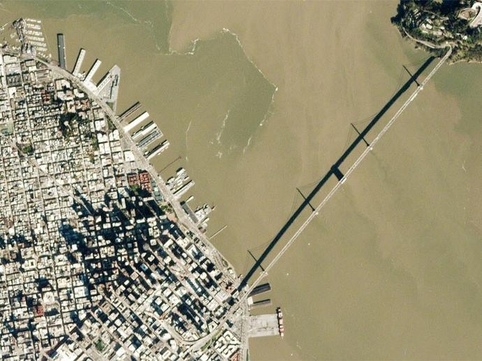
Complete archives of Copernicus datasets (Sentinel-1 GRD, Sentinel-2 L1C/L2A, Sentinel-3 OLCI and SLSTR, Sentinel-5P), Landsat, MODIS are available at a moment's notice. The service offers low-level API access for custom per-pixel processing, with both single-scene and multi-temporal capabilities, transformations, reprojections and outputs to the user defined format (image or array of pixels of GeoJSON for statistical processing).
Mission | Data Set Type | Format | Availability Since |
Sentinel-1 SM/IW/EW/WV | GRD | GeoTiff | 2017 |
Sentinel-2 MSI | L1C, L2A | JP2 | 2015 |
Sentinel-3 OLCI/SLSTR | L1B | NetCDF | 2018 |
| Sentinel-5P TROPOMI | L2 | NetCDF | 2018 |
Landsat 8 OLI/TRS | L8L1C | GeoTiff | 2013 |
MODIS | MCD43A4.006 | raster, json | 2000 |
Key features
Global archive of Sentinel-1, Sentinel-2, Sentinel-3, Sentinel-5P, Landsat-8, and MODIS Earth Observation Data.
Access your own data stored on your S3 bucket with the powerful Sentinel Hub API.
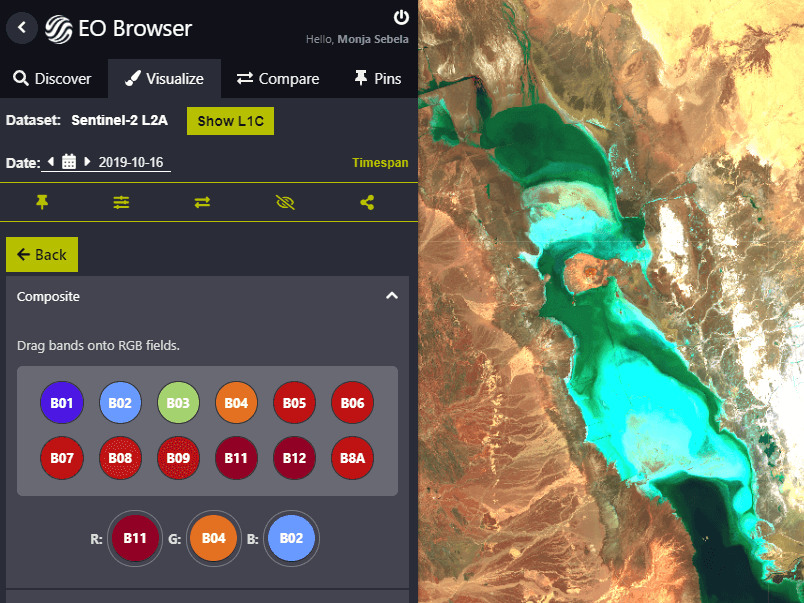
Create on-the-fly your own EO products with custom JavaScript configurations.
Query satellite data, inspect results in various color composites in full resolution, and download for offline analysis.
Get satellite data effortlessly into your favorite GIS application.
Time-lapse functionality and time-series statistical info services.
Key applications

Agriculture
Monitoring of properties and crop conditions
Crop type classification and mapping
Cultivation extent estimation in a growing season
Monitoring of properties and crop conditions
Crop type classification and mapping
Cultivation extent estimation in a growing season

Infrastructure
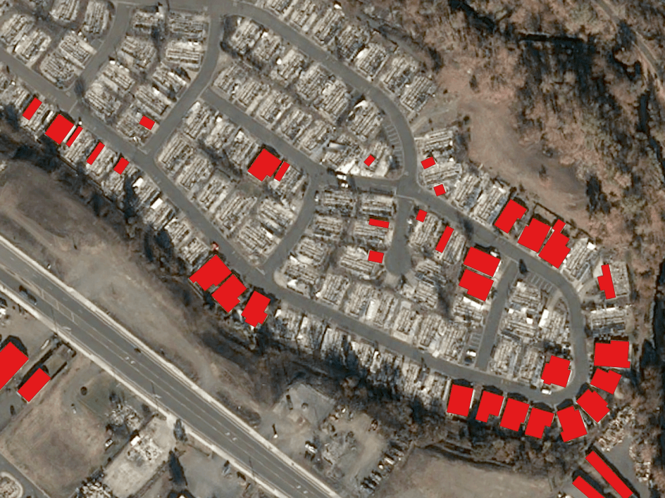
Monitoring illegal construction
Analyzing the condition of rural roads

Marine
Identification of wave and current direction
Mapping oil spills and position forecasting
Monitoring and prevention of coastal erosion
Identification of wave and current direction
Mapping oil spills and position forecasting
FAQs
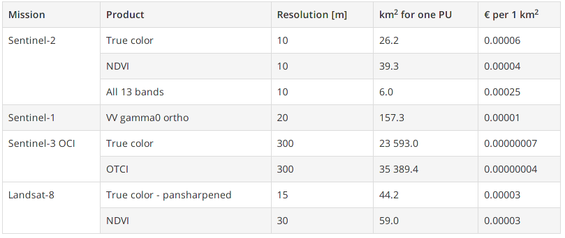
Each request is "worth" a proportional amount of processing unit(s) depending on what data and processing is requested. Sentinel Hub defines one processing unit (PU) as a request for:
- an output (image) size of 512 x 512 pixels,
- 3 collection input bands,
- one data sample per pixel,
- an output (image) format not exceeding 16 bits per pixel,
- without additional processing (e.g. orthorectification) applied,
- the request is processed on-the-fly (i.e. process API, WMS, WMTS, WCS or FIS request).
Sentinel Hub provides the following table for your convenience:
The Sentinel Hub repository contains a collection of custom scripts, which can be fed to the Sentinel Hub services via a corresponding URL. These scripts are related to several applications, such as agricultural crop monitoring, disaster management, Land surface temperature (LST) mapping and calculation of remote sensing indices, and are aggregated per sensor. Find out what scripts are available for direct use in your Sentinel Hub workflows here.
When your subscription is ending, we will notify you in order to manually renew your subscription by placing a new order. If no action is performed, then the serviced will be stopped.