Satellogic - Hyperspectral
Hyperspectral data enables unprecedented precision in the classification of land and water, gaining insights into the chemical and molecular processes of crops, soil, aerosols and effluents.
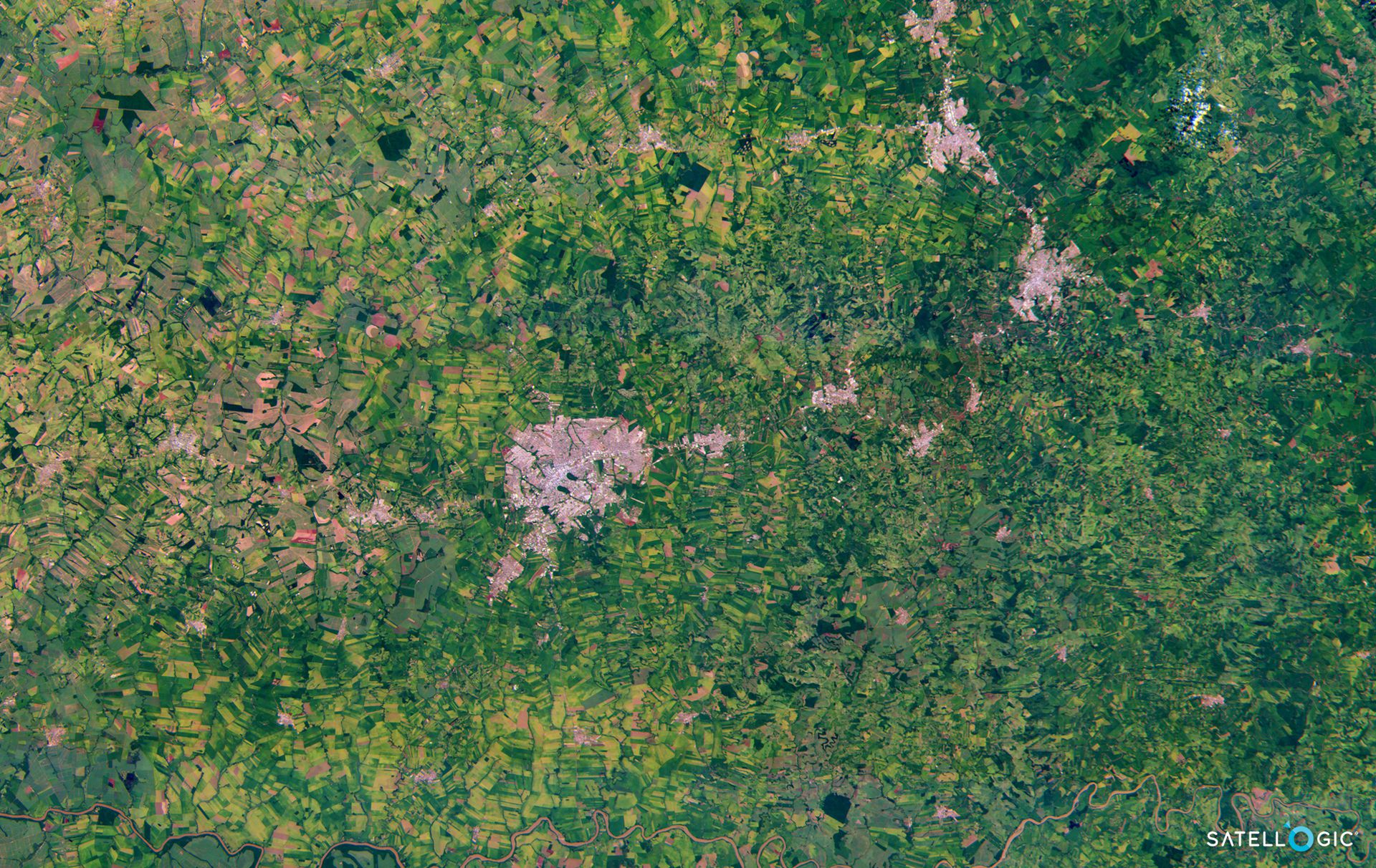
Satellogic’s hyperspectral cameras collect 25-meter imagery data at an altitude of around 475km. Its 29 visible to near-infrared (460 - 830nm) spectral bands are delivered ortho-rectified and GIS-ready.
Satellogic Hyperspectral imagery is delivered in Level 1A processing level, which means that is:
corrected for sensor and optical effects
projected to UTM/WGS84
corrected for terrain distortions
radiometric correction applied (Top Of Atmosphere Reflectance)
Optionally, value-added layers (e.g. vegetation indices, NDVI, etc) can be generated and delivered alongside Level 1A imagery. If interested, please write it in the Remarks section of the Quote form below.
Some general information for Satellogic's Hyperspectral imagery:
Constellation | Aleph-1 |
Spectral bands | Between 460 and 830 nm 14 to 35 nm FWHM depending on the wavelength |
Number of bands | up to 29 |
Spatial resolution | 25 m |
| Radiometric resolution | 8bit or 16bit |
Revisit time | Subdaily |
| Projection | UTM/WGS84 |
| Swath width | 125km |
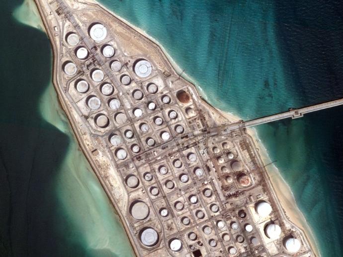
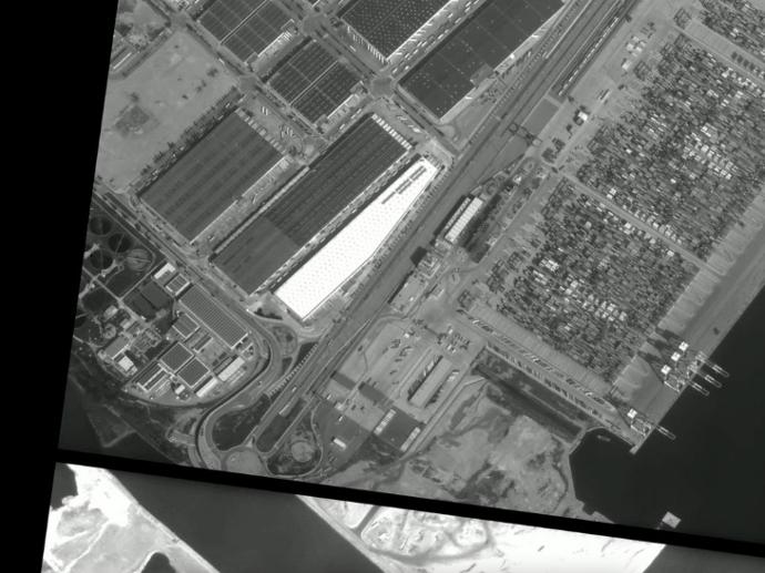
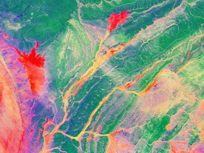
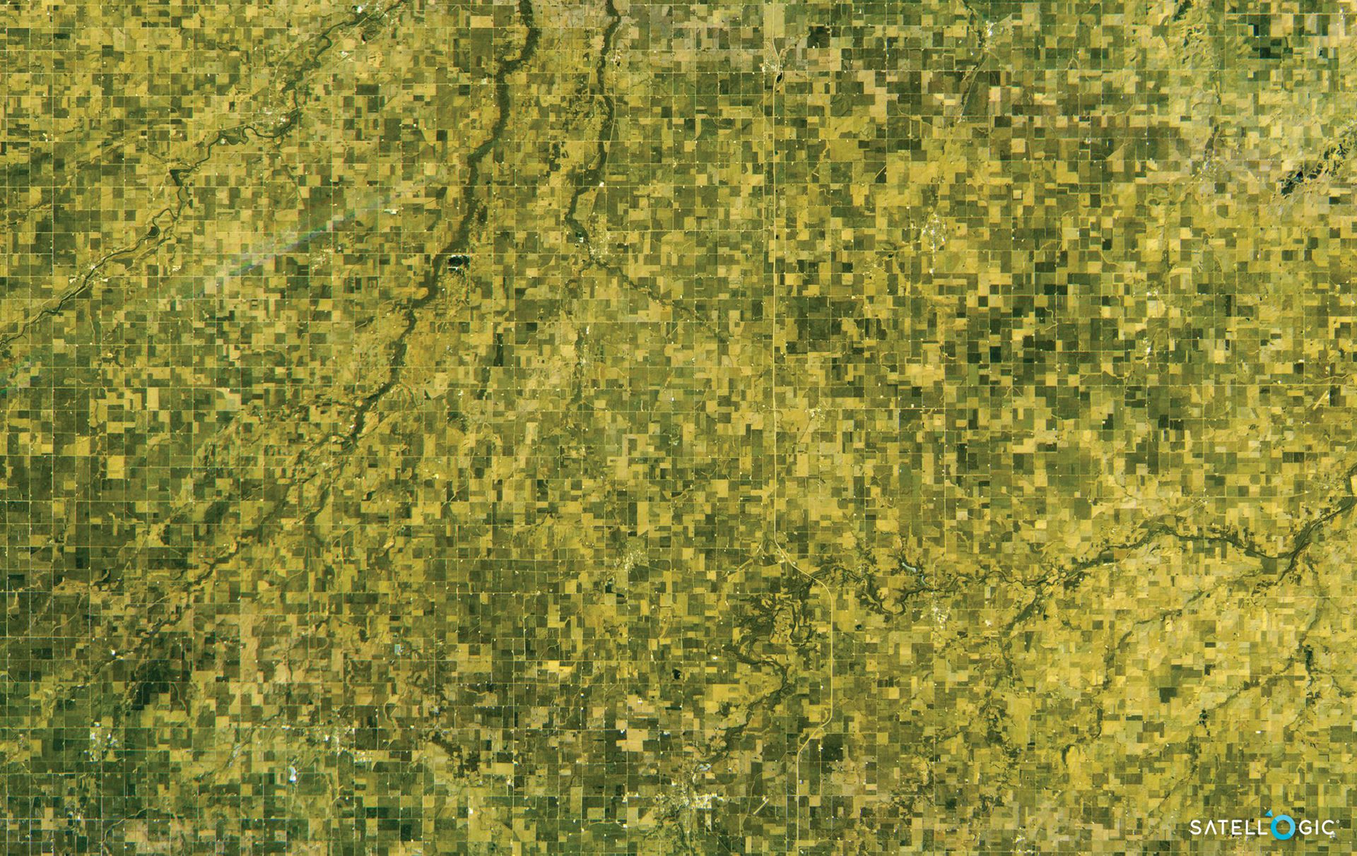
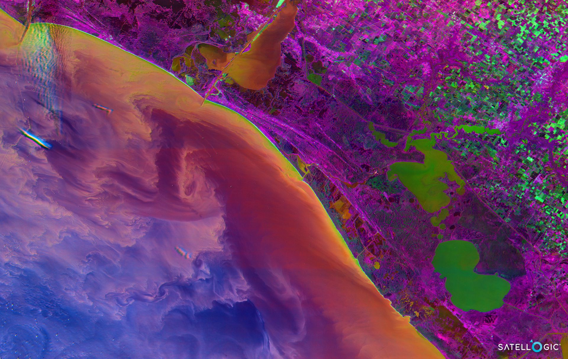
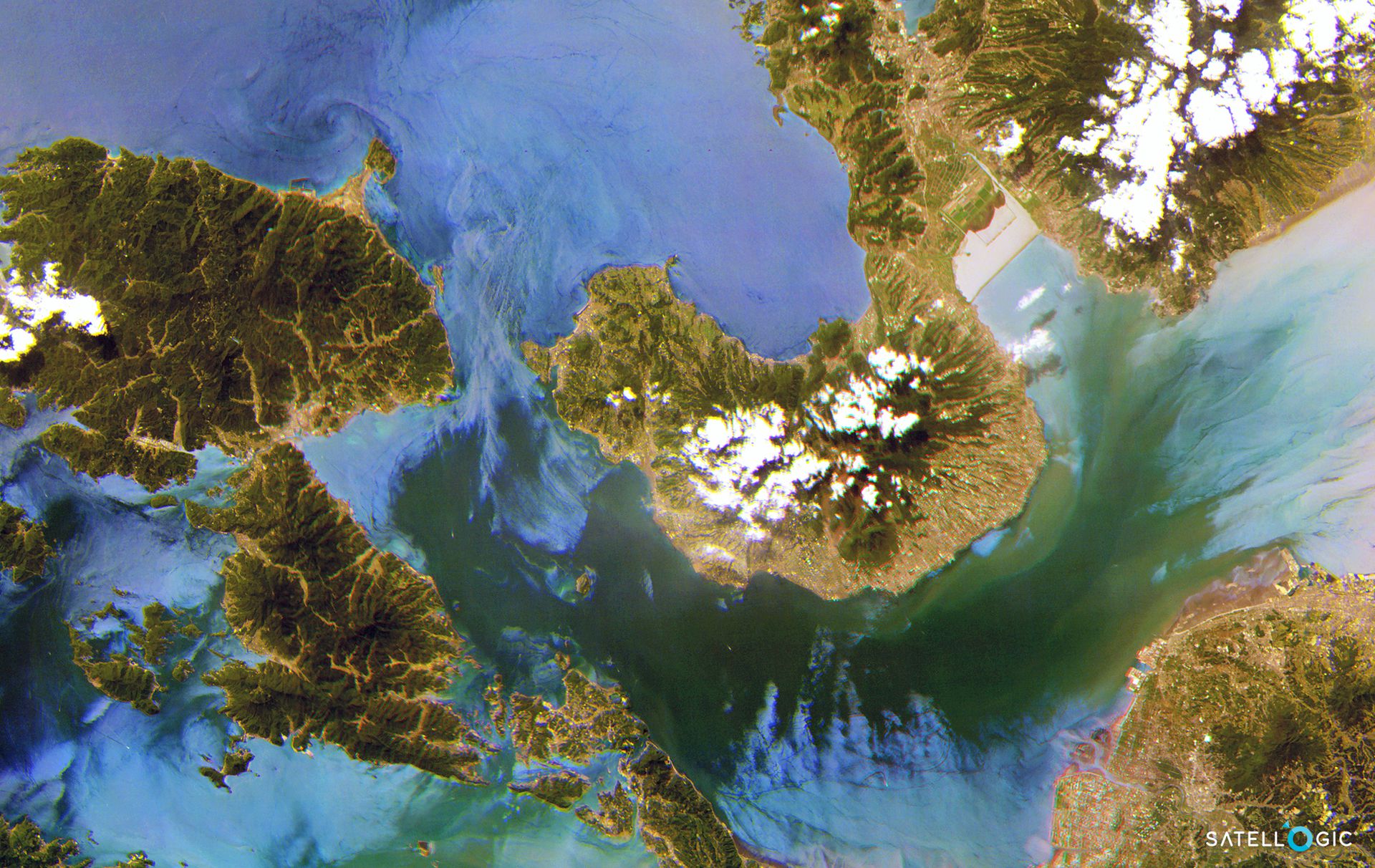
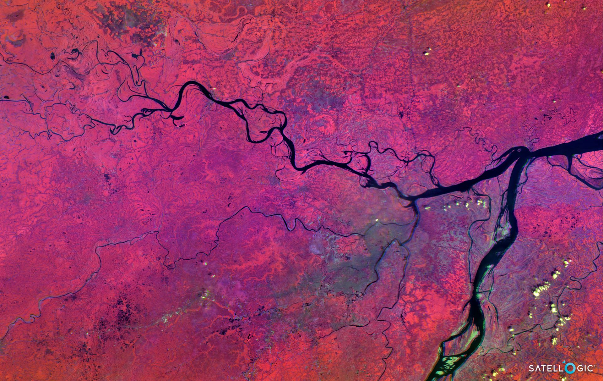
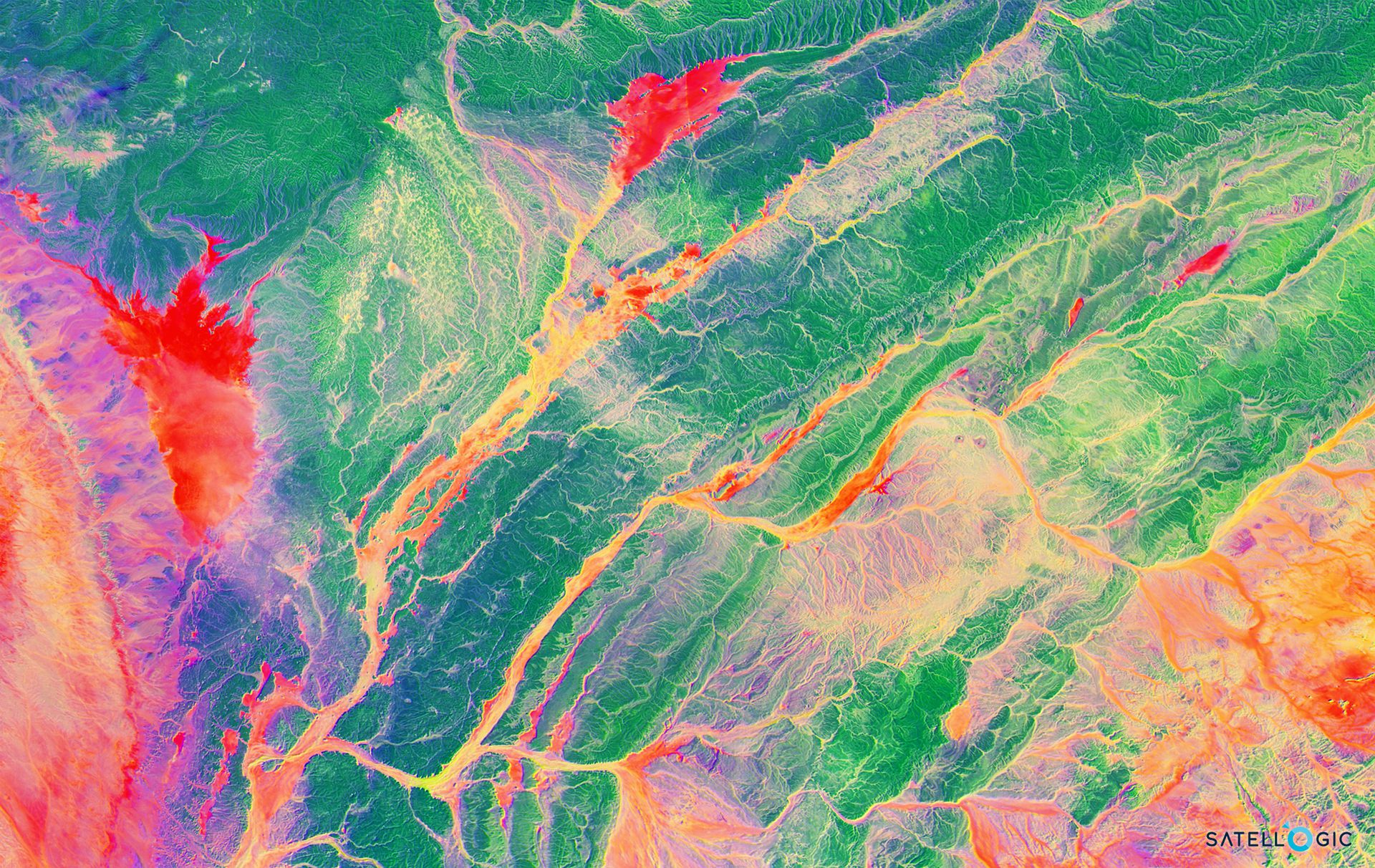
Gallery
Key features
Up to 29 spectral bands at spatial resolution of 25m
Capture any area or point of interest around the world
Frequent remapping of areas of interest
Ortho-rectified and GIS-ready on delivery
High-resolution imagery at the industry’s most competitive price point
Sub-daily revisits of any point of interest
Key applications

Agriculture
Predict biophysical variables and crop health (Leaf area, chlorophyll, nitrogen, canopy water, etc)
Soil characterization and observation
Assess and predict yield at a local and regional scale
Predict biophysical variables and crop health (Leaf area, chlorophyll, nitrogen, canopy water, etc)
Soil characterization and observation
Assess and predict yield at a local and regional scale

Energy
Determine building rooftop materials
Surface mineralogy of rock core
Highlight mineralogical variation within reservoir
Determine building rooftop materials
Surface mineralogy of rock core
Highlight mineralogical variation within reservoir
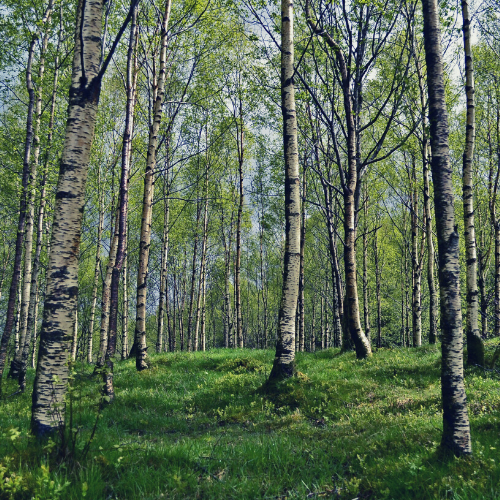
Forestry
Influence of heat waves on soil and vegetation
Early detection of ecosystem changes
Wildfire & risk management
Influence of heat waves on soil and vegetation
Early detection of ecosystem changes
Wildfire & risk management
FAQs
Satellogic - Hyperspectral orders should be at least 1,000 sq.km. for Standard, Priority and Rush Tasking.
No order size limitation is applied for Archive Ordering.