Pléiades

https://www.cloudeo.group/web/image/product.template/91/image_1920?unique=4dd026c
  • Service Provider​
  • Thematic Information
  • Service Option​s
  • Features​ Provided
  • Access Mode​
  • Pricing Options
  • Pricing​
  • Free Trial
  • Delivery Time​
  • Compatible products
  • Mission
  • Sensor & Data Products
  • Data Processing Level
  • Data Format​
  • Spectral Bands
  • Spatial Resolution​
  • Spatial Coverage
  • Temporal Coverage
  • Temporal Resolution
  • Accuracy

From 250€

From 250€

This combination does not exist.


Provided by Airbus Defence & Space


cloudeo Terms and Conditions

Take advantage of the identical Pléiades 1A and Pléiades 1B satellites, delivering 50 cm optical products with a daily revisit capacity!

Interested in Pléiades imagery and products?

Fill out a form with all your requirements and we will contact you as soon as possible with a quote!

Pléiades

Pléiades is an optical satellite constellation providing very high-resolution products (50cm) with a 20-km swath. Both the space and the ground segment have been designed to provide information in record time, offering daily revisit capacity to any point on the globe and acquisition capabilities tailored to meet the full spectrum of civil and military requirements.

Its sensors capture Blue, Green, Red, and Near Infrared bands, at resolutions of 50 cm for Panchromatic, and 2m for Multispectral.

The Pléiades constellation has been providing color products at 50 cm resolution, delivering an extremely high level of detail since 2012. These products’ location accuracy and excellent image quality make them the ideal solution for precision mapping.

Offering an ideal trade-off between coverage, resolution, and speed, Pleiades products are especially useful for applications in defense, civil protection, hazard management, urban mapping, precision agriculture and network and infrastructure administration.


Launch
Pléiades 1A: December 17, 2011
Pléiades 1B: December 2, 2012

Orbit

Sun-synchronous
10:30 AM descending node
26-day cycle
694 km altitude

Spectral bands

Pan: 0.47-0.83 mm;
Blue = 0.43-0.55 mm,
Green = 0.50-0.62 mm,
Red = 0.59-0.71 mm,
Near Infrared = 0.74-0.94 mm
Spatial resolution
Panchromatic @ 0.5 m;
Multispectral @ 2.0 m
Radiometric resolution
12 bits per pixel
Geometric precision< 8.5 m CE90
Revisit timeDaily, anywhere


And some technical specifications related to the ordering process:

Imagery type

Solo

A single image is delivered over your AOI

Stereo

Two images over the area of interest within the same orbital pass. Each of the two images are shot with a different viewing angle within the same orbit,
enabling the creation of 3D models over the area of
interest. Subject to feasibility study
Premium Ortho
Acquisition of stereo or tristereo pairs in order to process a DTM that will be used to orthorectify the Pléiades imagery
Tristereo
Three images over the area of interest within the same orbital pass. Each of the three images are shot with a different viewing angle within the same orbit, enabling the creation of 3D models over the area of interest. The second image is acquired nearly vertically. The near-nadir acquisition minimises the risk of missing hidden items, which makes it ideal for dense urban and mountainous areas. Subject to feasibility study

Geometric processing 

Primary (L1)
Sensor image, not georeferenced or map-
projected. Delivered with RPC file and rigorous model metadata (altitude, ephemeris) allowing geometric processing (orthorectification – DEM extraction)
Projected (L2)Map projected image at a constant altitude
(mean). Delivered with RPC file allowing geometric
processing (orthorectification – DEM extraction)
Ortho (L3)Map projected image corrected from off-nadir
and relief effects (rectified as nadir position through DEM knowledge) and possibly improved with GCP
Radiometric processing
Basic
Digital numbers from the sensor acquisition (native pixel values after equalisation). This option is mainly for proficient users.
Reflectance
Pixel values radiometrically corrected from
sensor calibration and systematic effects of the atmosphere (molecular or ‘Rayleigh’ diffusion).
Display
Image optimised for a direct true colour rendering
on the screen. For users who need ready-to-use images and high aesthetic display.
Band selection
Panchromatic
Black and white (50cm)
Pansharpened 3-band natural color
Panchromatic merged with the Blue, Green and Red bands (50 cm)
Pansharpened 3-band false color
Panchromatic merged with the Green, Red and Near Infrared bands (50 cm)
Pansharpened 4-band
Panchromatic merged with the full set of colour Blue, Green, Red and Near Infrared bands (50cm)
Multispectral 4-band
Full set of colours Blue, Green, Red and Near Infrared bands (2 m)
Bundle
One Panchromatic image (50 cm) + the
Multispectral (2 m - Blue, Green, Red and Near Infrared) bands delivered separately (not merged)


Need a sample to test the product before ordering?
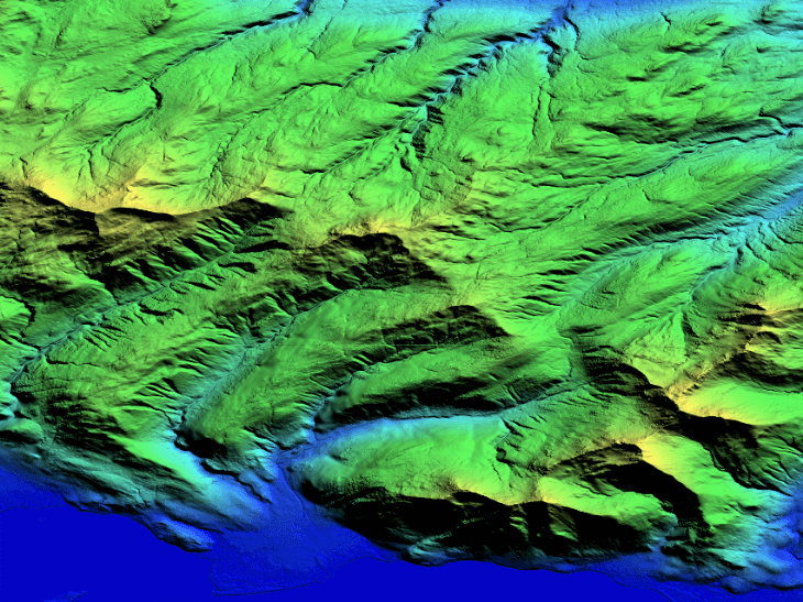
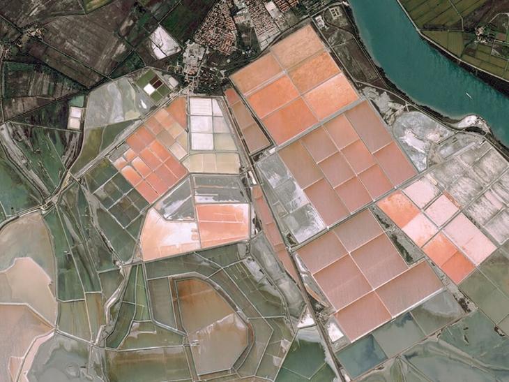
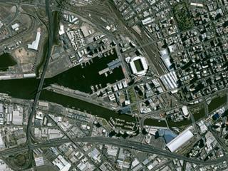
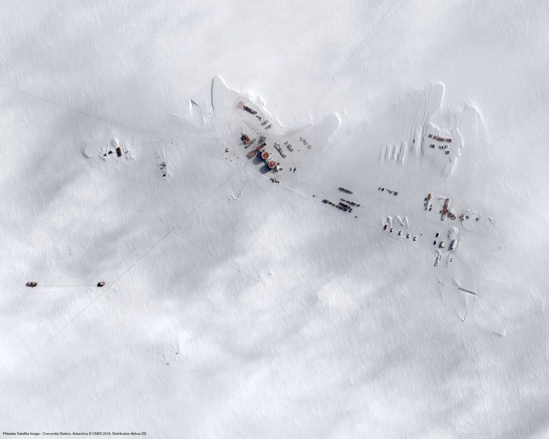
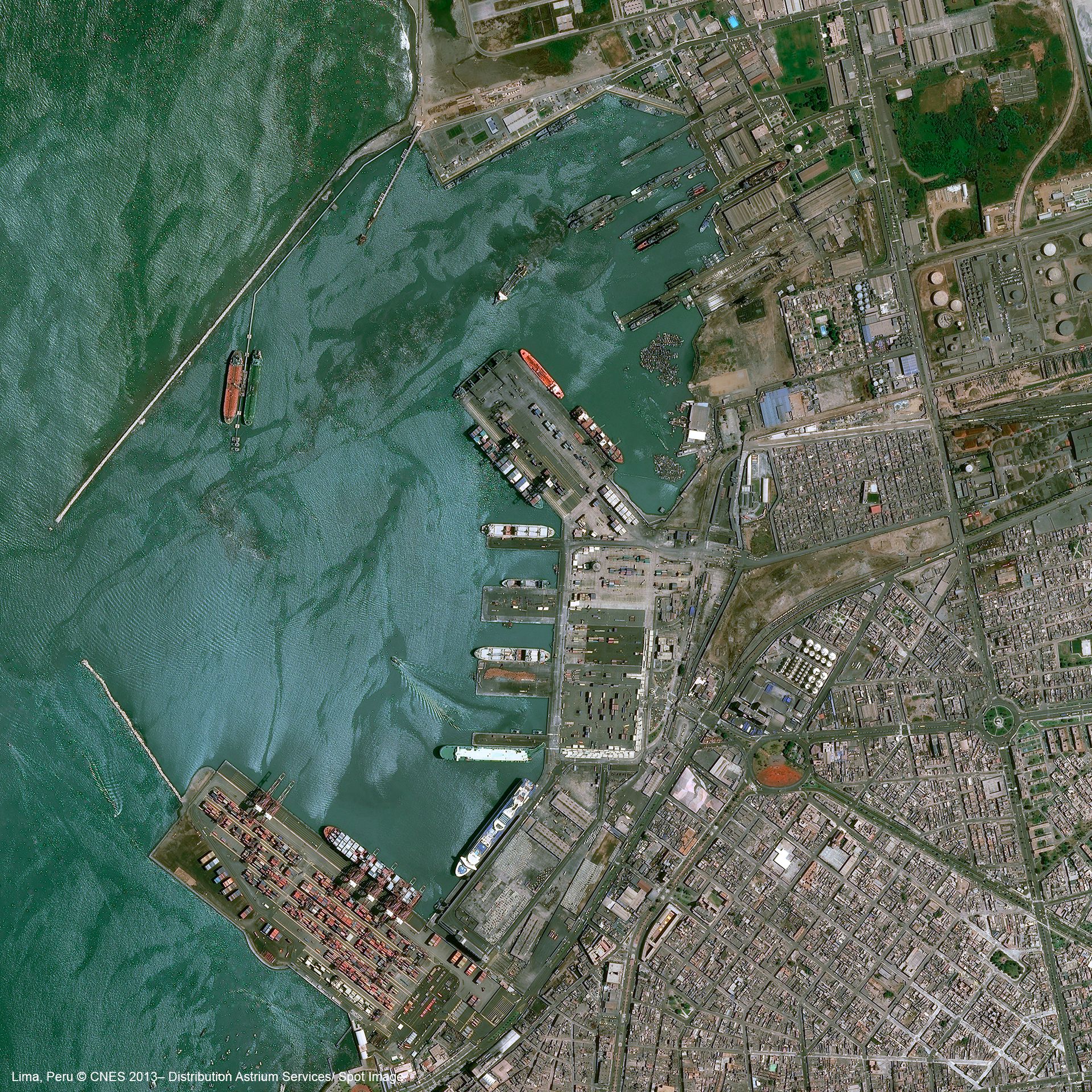
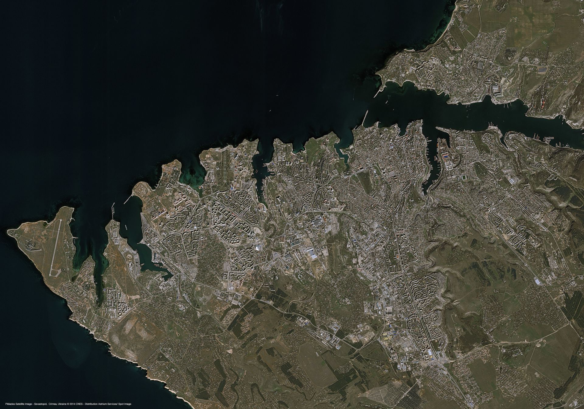
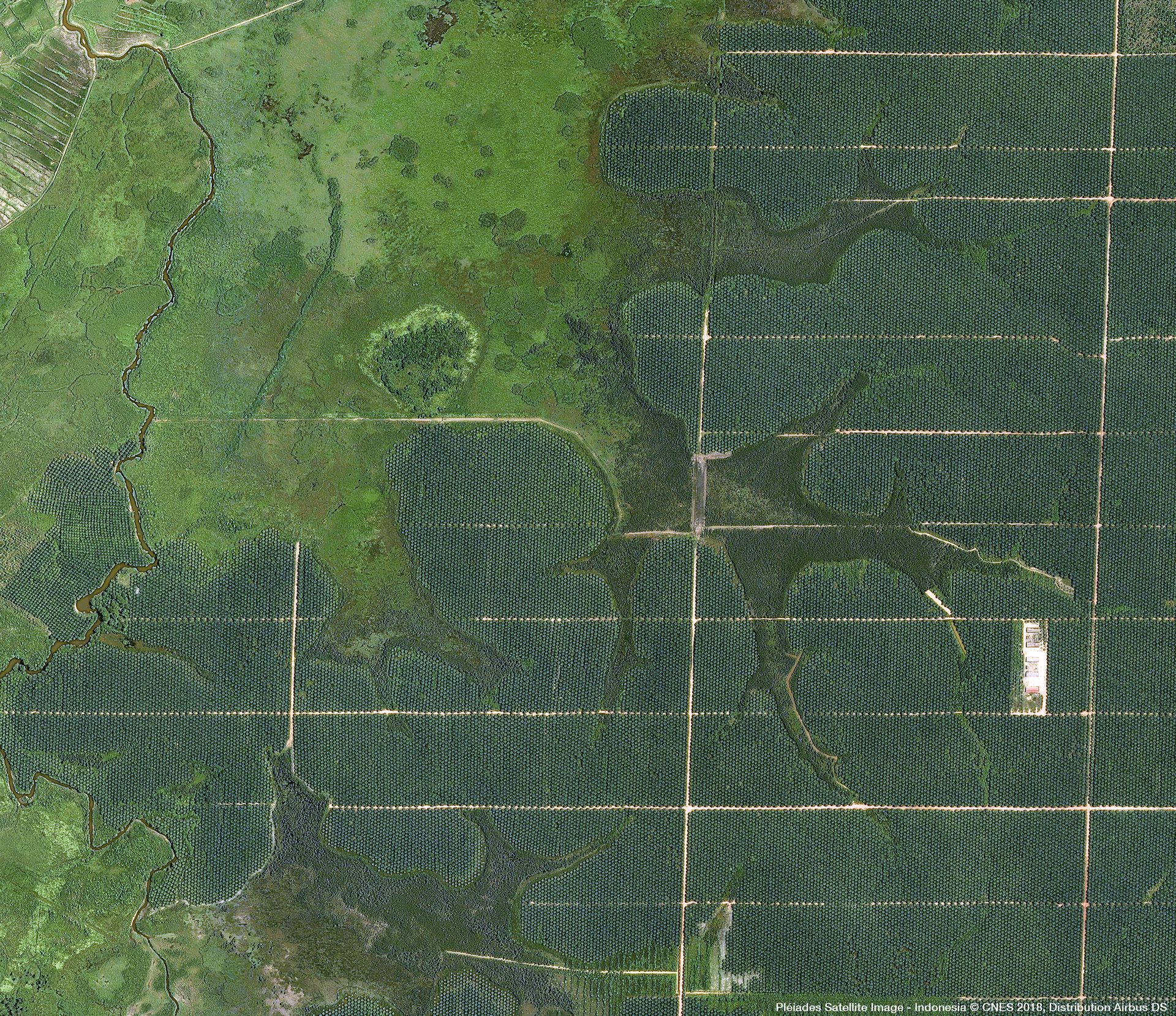
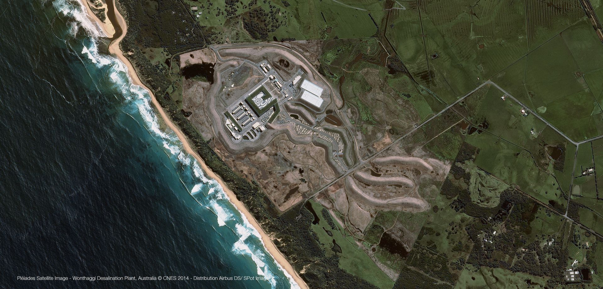
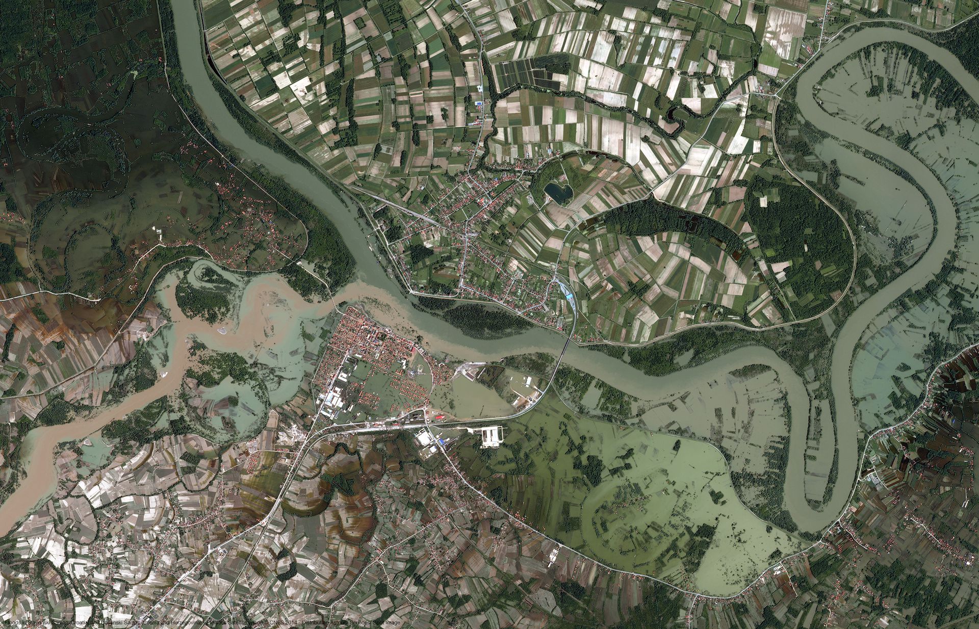
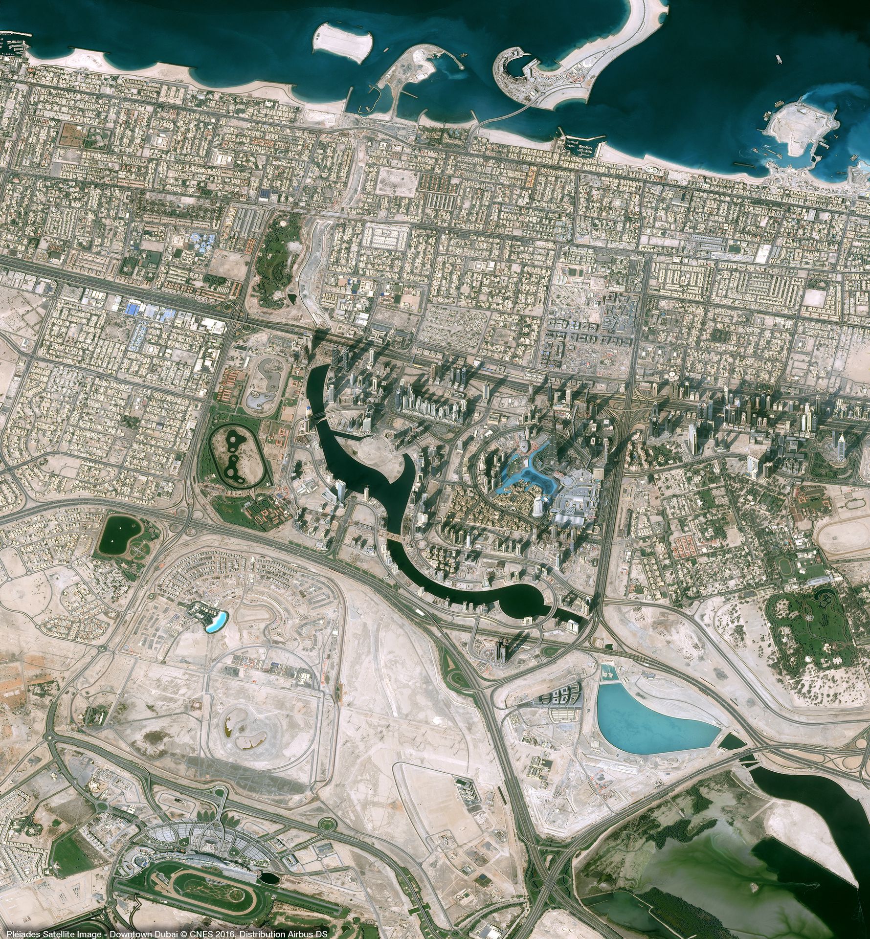
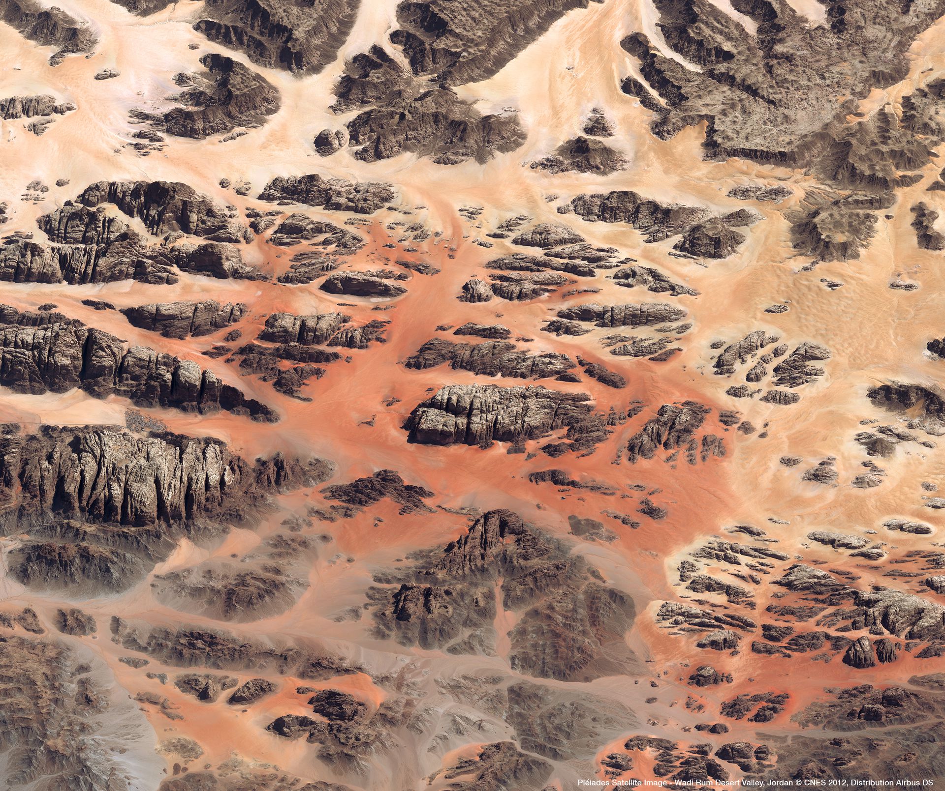
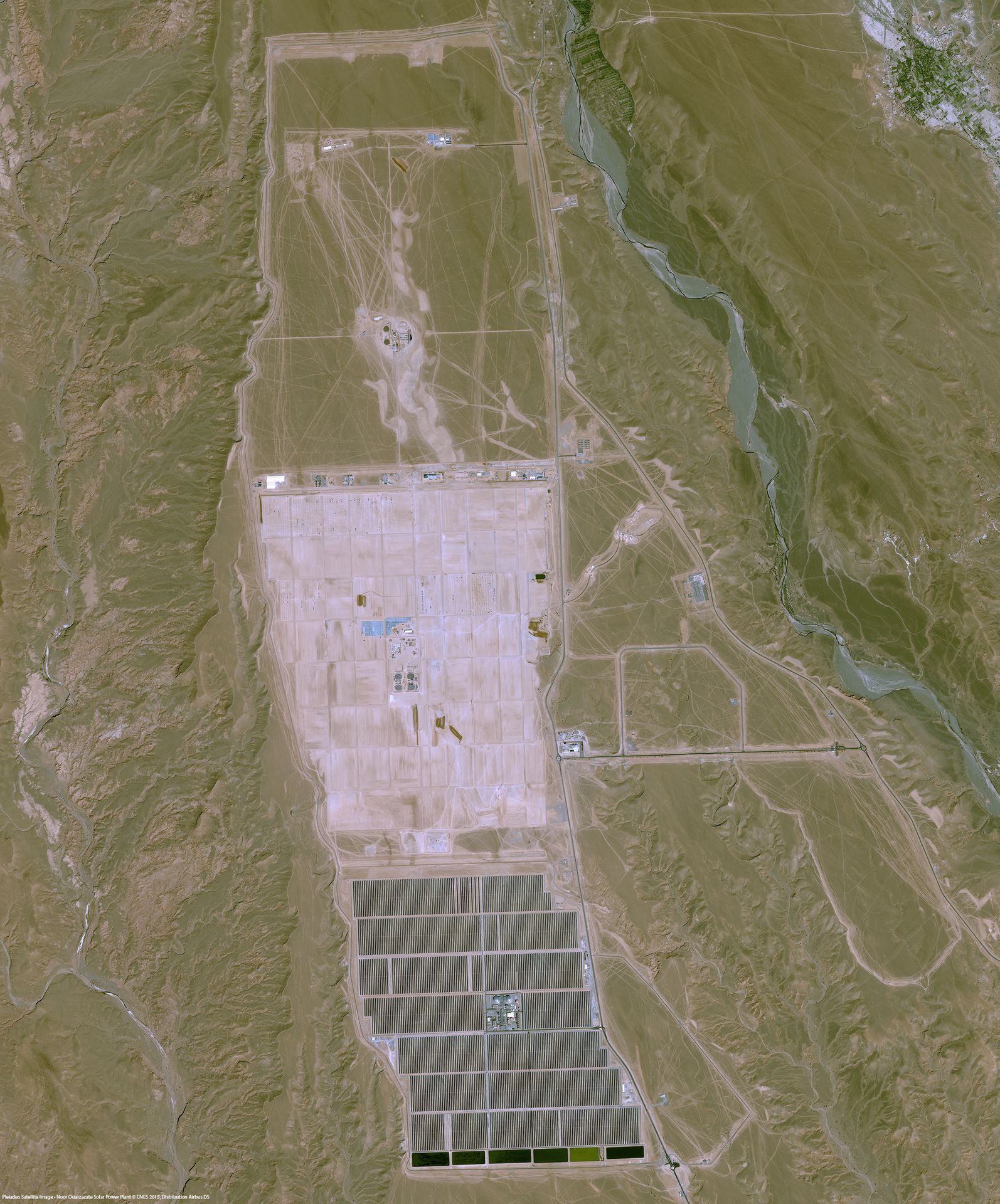
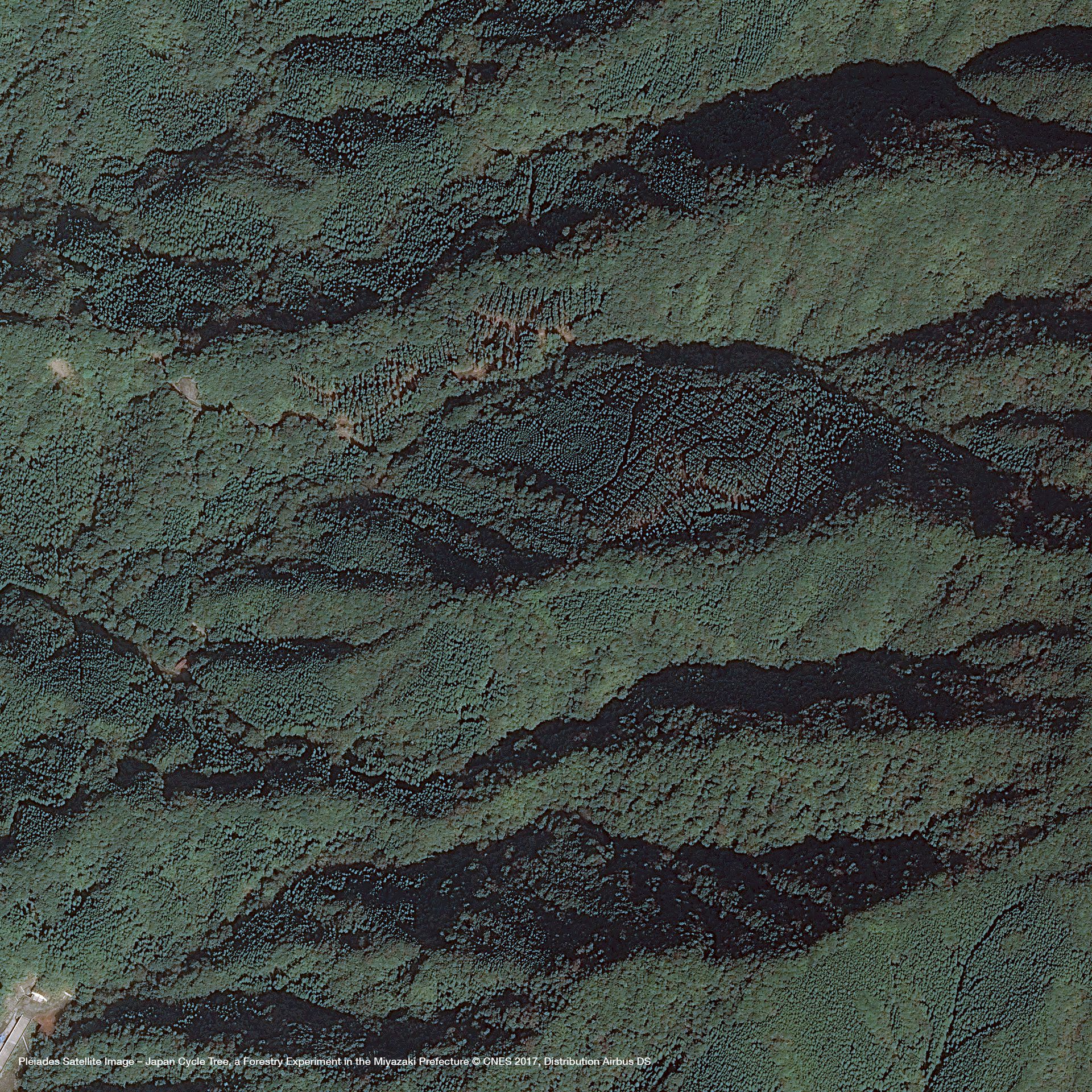
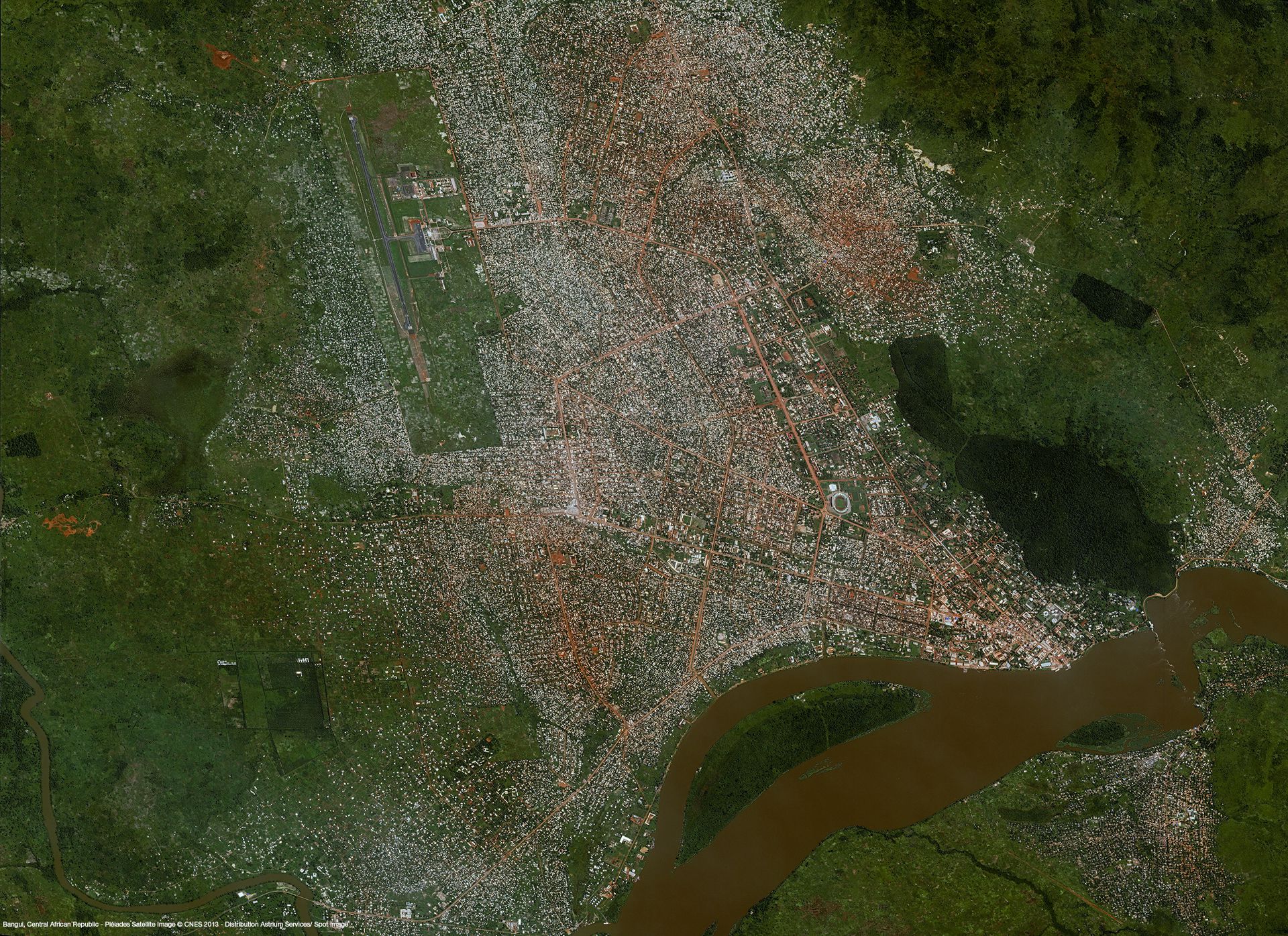
Protected by reCAPTCHA, opting in Newsletter, Privacy Policy applied. 

Your sample request has been sent

Our team will message you back as soon as possible in the provided email.

Gallery

Key features

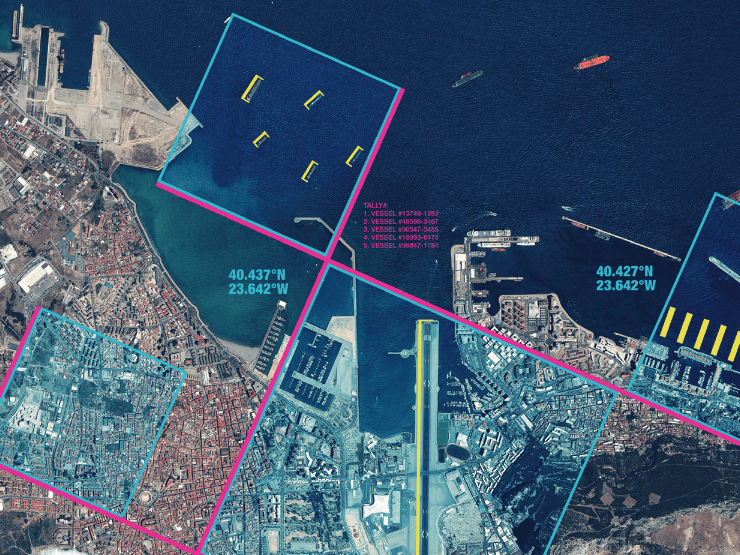
Detailed and precise image products at 50 cm spatial resolution

Daily revisit capacity, from standard delivery to emergency response

10+ billion km² of imagery

Multi-resolution optical archive

Ideal for precision mapping and in-depth
intelligence

Ortho-rectified imagery as a standard, high imagery quality

Key applications

Agriculture

Assessment of crop damage and crop progress

Especially adapted to fragmented landscapes, small parcels

Crop yield modelling and estimation

Infrastructure

Detecting changes in land cover

Monitoring construction sites

Creating land use maps (up to 1:10,000 and 1:5,000 scale
maps)

Marine

Assessment of natural event impacts (storms, wind,
tides) in 2D or 3D

Preparation of flood risk maps

Shallow waters bathymetry

FAQs

Some restrictions do apply when ordering Pleiades data. These are related to the minimum area and minimum order and the following:

- Minimum area of interest is 25km², with at least 500m in one direction.

- Minimum order is €250 for solo imagery, €500 for stereo, and 750€ for tristereo.

In case more than one AOI is required, please contact us for a custom order tailored to your needs.

The EULA of Pléiades is under the authority of Airbus Space & Defence and can be found:

- for North America here

- Standard here

Furthermore, licences related to web and media display are applied for Pleiades products.

Request quote

Protected by reCAPTCHA,  I have read and accept the Privacy Policy

People also viewed

Do you have more questions about the product?

We are here for you! Please contact us and we will come back to you shortly!

Specifications for Pléiades

General Info
Service Provider​ Airbus Defence and Space
Thematic Information Multispectral Satellite Imagery
Service Option​s PAN; 3bands; 3bands pansharpened; 4 bands; 4 bands pansharpened; Bundle; Solo; Stereo; Premium Ortho; Tristereo; Basic; Reflectance; Display
Features​ Provided Archive; Tasking
Access Mode​ File transfer
Pricing Options Pre-paid
Pricing​ Per km²; min. order 25 km²/AOI
Free Trial On demand
Delivery Time​ Up to 5 business days
Compatible products Standalone; SaaS
Geodata Specs
Mission Pleiades
Sensor & Data Products MSI
Data Processing Level Primary(L1);Projected(L2);Ortho(L3)
Data Format​ GeoTIFF; JPEG2000
Spectral Bands PAN; RGB; NIR
Spatial Resolution​ 0.5m
Spatial Coverage Global
Temporal Coverage Since 2012
Temporal Resolution Daily
Accuracy 1-3m