NEXTMap Analytics - Viewshed
Without the need to manage and host the base data, the NEXTMap Analytics - Viewshed web app allows you to perform complex viewshed analysis in just a few seconds, instead of minutes or hours, like with other commercial GIS tools. And there will be no need to spend time and money for field crews to survey an area first – with NEXTMap Analytics – Viewshed you can visualize precisely, using just your computer, where visibility is obstructed throughout the entire communication range.
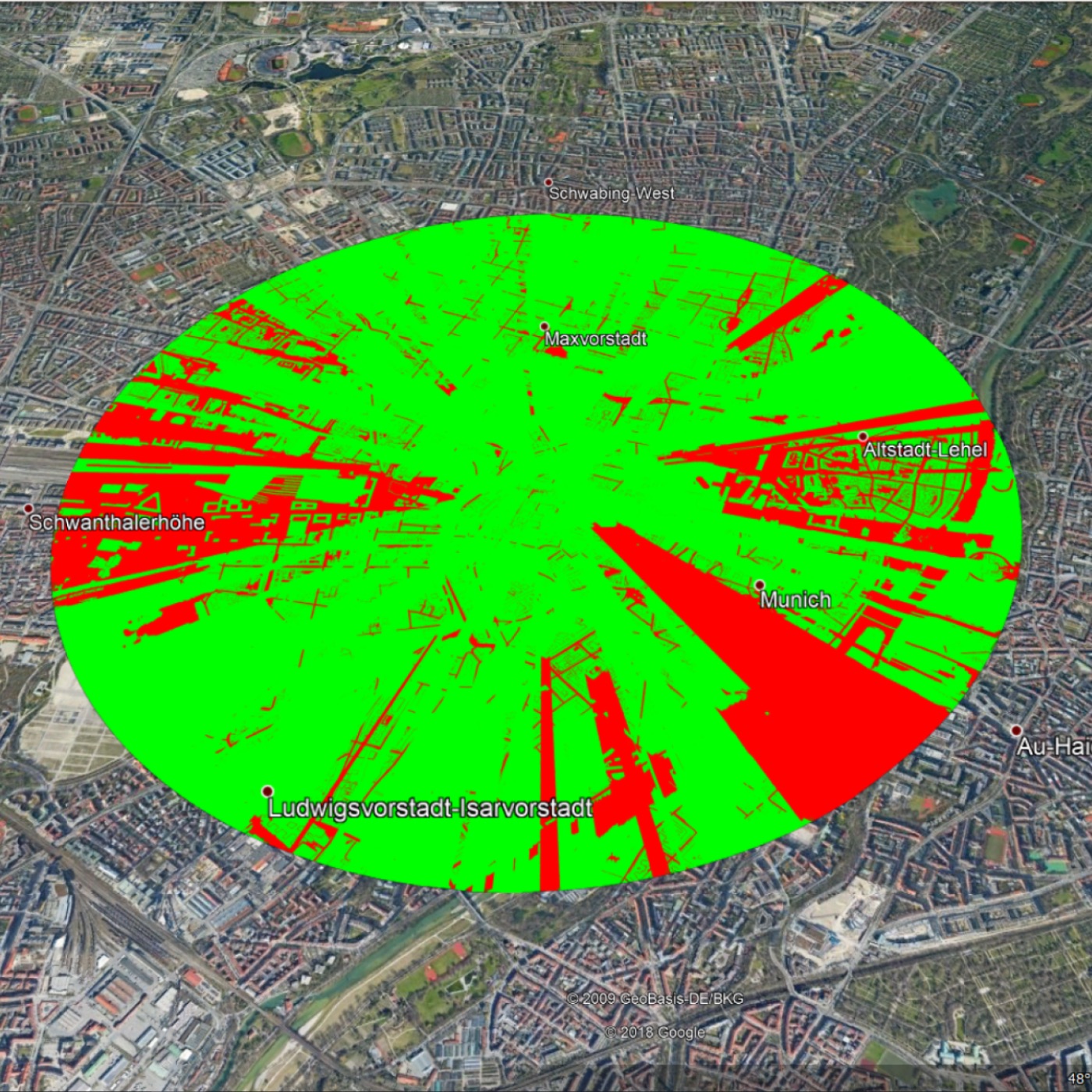
The viewshed is adjustable to include up to 360° visibility, or any specified viewing angle, around a given point. Areas highlighted in green indicate that the visibility would be unobstructed, while areas in red mean that the line-of-sight could have interference. Results are visible within the app and exportable to .KMZ to view in Google Earth.
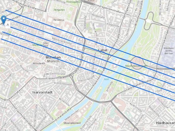
The NEXTMap Analytics – Viewshed service is particularly useful for users in the telecommunication industry looking for information on terrain/surface structure. Combined with our other services Profile and Value - all accessible through our cloudeo NEXTMap Analytics web app - Viewshed provides you with comprehensive information for line-of-sight and microwave link design when planning for new towers and upgrading existing network coverage.
Key features
Perform viewshed analysis from 1 to 100km in radius.
Generated from Intermap's highly accurate NEXTMap elevation models including NEXTMap 5 and World 10 data sets.
Based on elevation with an absolute vertical accuracy of up to 1m RMSE with a pixel size of 1m (region dependent).
Easy-to-use app, accessible over the web by any standard browser.
Create complicated viewshed analysis in seconds, instead of minutes or
hours in commercial GIS tools.
A global database of over 500 million
km2 hosted in Intermap's secure cloud architecture.
Key applications
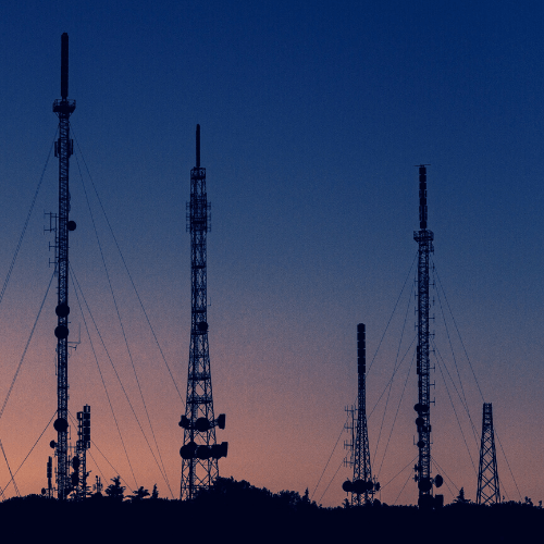
Telecommunications
Determine the signal reach
Site selection for telecommunication towers
Plan and design 5G networks
Determine the signal reach
Site selection for telecommunication towers
Plan and design 5G networks
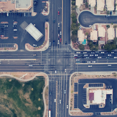
Infrastructure
Estimate impact of the addition of a large building
Determine the view from a road
Locate fire observation stations in mountain areas
Estimate impact of the addition of a large building
Determine the view from a road
Locate fire observation stations in mountain areas
FAQs
When you purchase a NEXTMap Analytics - Viewshed subscription, you purchase a license to use it for 1, 6, or 12 months, depending on the plan. Before the license expires, we will notify you in order to manually renew your subscription.
The generated viewsheds expire after the subscription period.
Larger viewshed quantities are available with additional volume discounts on request. License restrictions may apply for risk assessment applications.
NEXTMap Analytics - Viewshed leverages Intermap's highly accurate NEXTMap elevation models including NEXTMap 5 and World 10 data sets.
Find here which NEXTMap datasets are available over your area of interest.
After your purchase, we will prepare the order and inform you via email step by step on how to access the NEXTMap Analytics - Viewshed web application using the provided credentials.
The EULA of NEXTMap Analytics - Viewshed is under the authority of Intermap and can be found here.