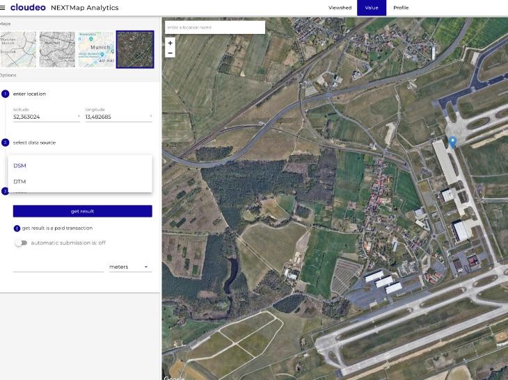
NEXTMap Analytics - Value
The service NEXTMap Analytics – Value provides precise elevation information at any point in the world. Based upon highly accurate NEXTMap foundation data sets from Intermap, Value retrieves the accurate altitude for any given location. Value gives your business fast access to accurate elevation information for your assets and analysis anywhere, without the need to manage and host data. The service is available through our cloudeo NEXTMap Analytics web app.

To ensure that you always get the highest-accuracy elevation results worldwide, Value automatically selects the data set with the highest resolution available for your area: NEXTMap One has a resolution of 1 meter, NEXTMap 5 has a resolution of 5 meters, and NEXTMap 10 has a resolution of 10 meters. The calculations can be based on either a digital surface model (DSM) or digital terrain model (DTM) with features such as buildings and trees removed. You may select your output value in metric or imperial. Please see below to view the coverage areas of each dataset.
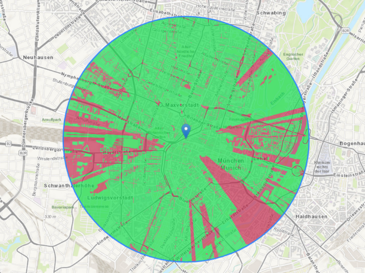
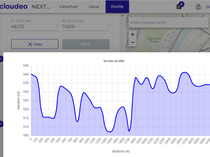
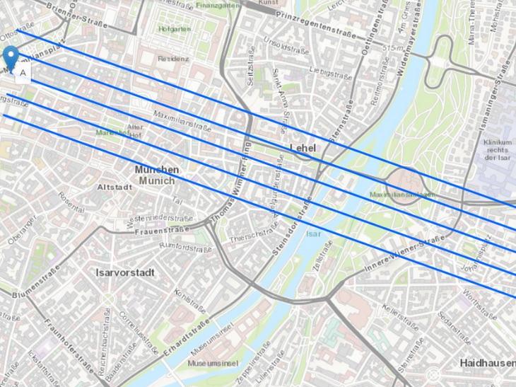
NEXTMap Analytics – Value is particularly helpful for any user in the telecommunication industry looking for high-quality information on terrain/surface structure. Combined with our other services Profile and Viewshed – all accessible through our cloudeo NEXTMap Analytics web app – Value provides you with essential information for line-of-sight and microwave link design when planning for new towers and upgrading existing network coverage.
Key features
One or Many Locations - Value can run on a single or batch of points
Generated from Intermap's highly accurate NEXTMap elevation models including NEXTMap One, NEXTMap 5, and World 10 data sets.
Based on elevation with an absolute vertical accuracy of up to 1m RMSE with a pixel size of 1m (region dependent).
Information includes height above sea level, tree height, land cover, slope, aspect.
Easy-to-use app, accessible over the web by any standard browser.
Perfect for telecom applications when combined with Profile and Viewshed – all accessible through the cloudeo NEXTMap Analytics web app.
Key applications

Infrastructure
Determine optimal placement of infrastructure
Analyzing condition of road network
Predicting landslide events
Determine optimal placement of infrastructure
Analyzing condition of road network
Predicting landslide events
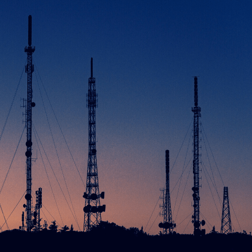
Telecommunications
Expand existing networks and backhaul
Evaluate terrain for network planning
Determine the optimal antenna heights for networks
Expand existing networks and backhaul
Evaluate terrain for network planning
Determine the optimal antenna heights for networks
FAQs
When you purchase a NEXTMap Analytics - Value subscription, you purchase a license to use it for 1, 6, or 12 months, depending on the plan. Before the license expires, we will notify you in order to manually renew your subscription.
The generated elevation values expire after the subscription period.
Larger value quantities are available with additional volume discounts on request. License restrictions may apply for risk assessment applications.
NEXTMap Analytics - Value leverages Intermap's highly accurate NEXTMap elevation models including NEXTMap One, NEXTMap 5, and World 10 data sets.
Find here which NEXTMap datasets are available over your area of interest.
After your purchase, we will prepare the order and inform you via email step by step on how to access the NEXTMap Analytics - Value web application using the provided credentials.
The EULA of NEXTMap Analytics - Viewshed is under the authority of Intermap and can be found here.