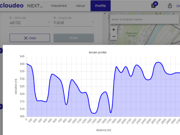
NEXTMap Analytics - Profile
Without the need to manage and host data, you can retrieve detailed terrain information anywhere in the world. A profile is available through our easy-to-use cloudeo NEXTMap Analytics web app. The profiles are always output in a graphical format and are exportable.
This service is of particular value for users in the telecommunications industry looking for information on terrain/surface structure.
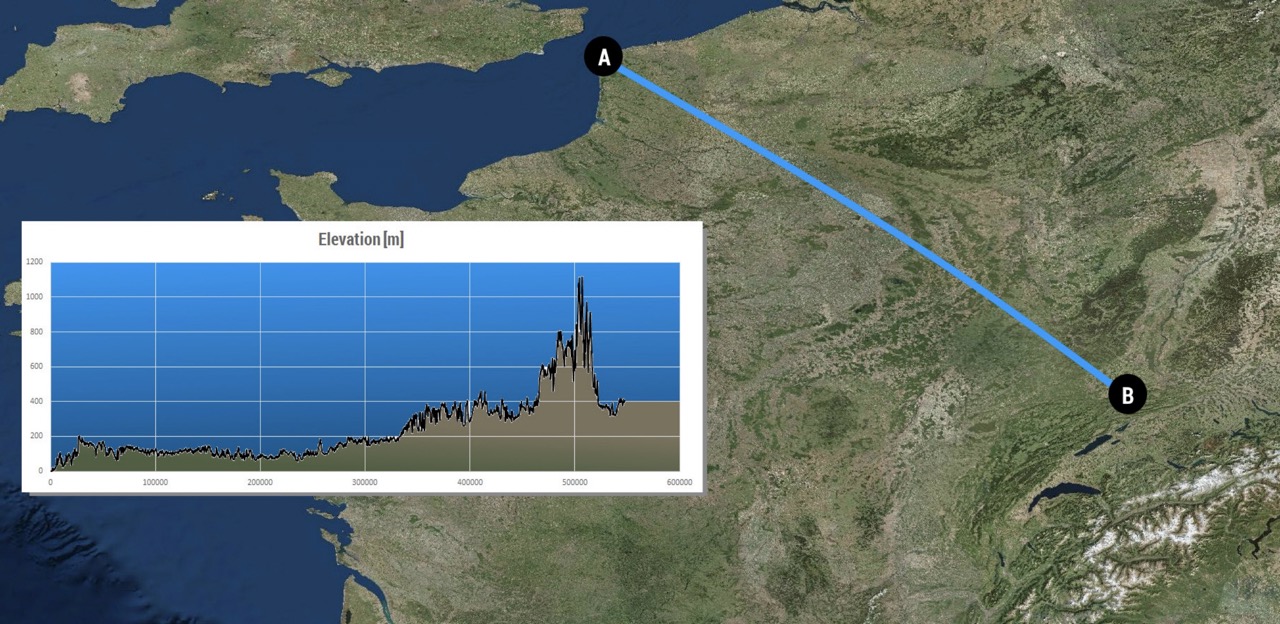
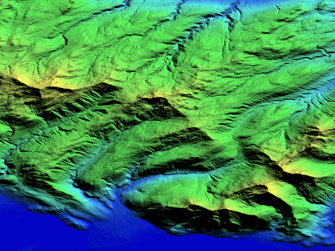
To ensure that you always get the highest accuracy profiles, Profile automatically selects the data set with the highest resolution available for your area: NEXTMap One has an accuracy of 1 meter, NEXTMap 5 has an accuracy of 5 meters, and NEXTMap 10 has an accuracy of 10 meters. The calculations can be based on either a digital surface model (DSM) or a digital terrain model (DTM) with features such as buildings and trees removed. Please see below to view the coverage areas of each dataset.
Combined with our other services, Value and Viewshed – all accessible through our cloudeo NEXTMap Analytics web app – Profile provides you with valuable information for line-of-sight and microwave link design when planning for new towers and upgrading existing network coverage.
Key features
Unlimited profiling distance - Profile entire continents or just a single block in a single service.
Enhance your workflows and reduce your QA/QC steps.
Based on elevation with an absolute vertical accuracy of up to 1m RMSE with a pixel size of 1m (region dependent).
Easy-to-use app, accessible over the web by any standard browser.
Generated from Intermap's highly accurate NEXTMap elevation models including NEXTMap One, NEXTMap 5, and World 10 data sets.
Used by customers worldwide across many industries.
Key applications

Infrastructure
Determining location of construction site
Analyzing roads' condition
Identifying physical features at local level
Determining location of construction site
Analyzing roads' condition
Identifying physical features at local level

Telecommunications
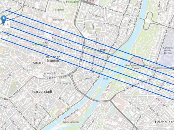
Determining terrain slope profile between two points
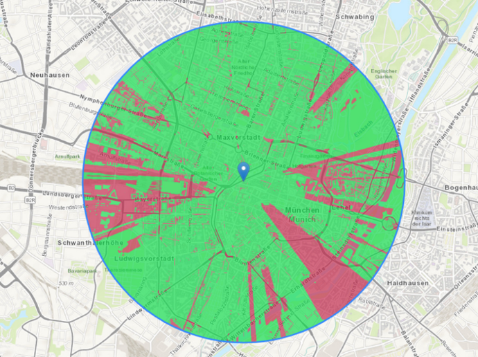
Selecting the most effective locations for tower installation
Showing change in elevation
Determining terrain slope profile between two points
Selecting the most effective locations for tower installation
Showing change in elevation
FAQs
When you purchase a NEXTMap Analytics - Profile subscription, you purchase a license to use it for 1, 6, or 12 months, depending on the plan. Before the license expires, we will notify you in order to manually renew your subscription.
The generated profiles expire after the subscription period.
Larger profile quantities are available with additional volume discounts on request. License restrictions may apply for risk assessment applications.
NEXTMap Analytics - Profile leverages Intermap's highly accurate NEXTMap elevation models including NEXTMap One, NEXTMap 5, and World 10 data sets.
Find here which NEXTMap datasets are available over your area of interest.
After your purchase, we will prepare the order and inform you via email step by step on how to access the NEXTMap Analytics - Profile web application using the provided credentials.
The EULA of NEXTMap Analytics - Profile is under the authority of Intermap and can be found here.