Lido Surface Data NEXTView
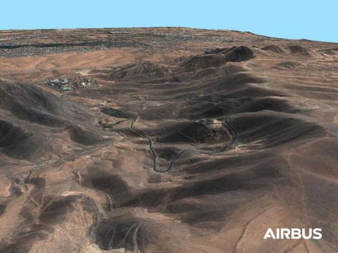
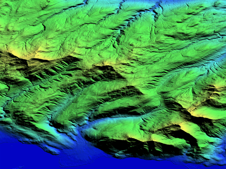
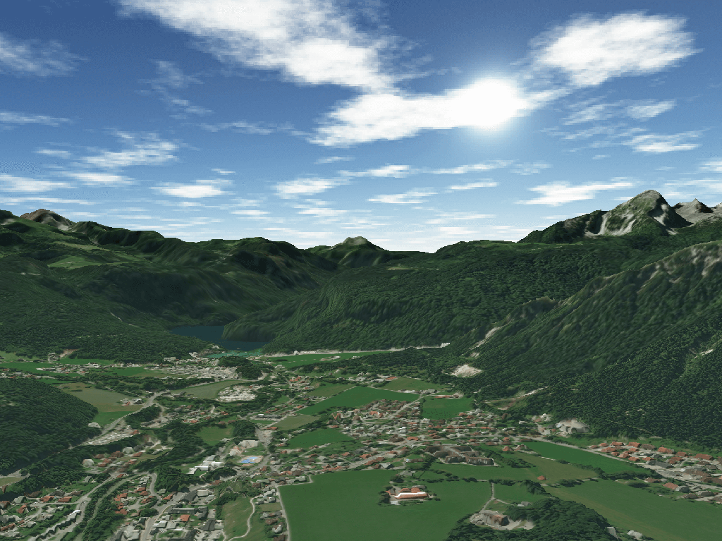
Topographic, obstacle, and aerodrome information are combined to create a single, global terrain dataset at 6-meter resolution. Lido Surface Data NEXTView™ is the only high-resolution, global digital surface model (DSM) certified for the aviation industry.
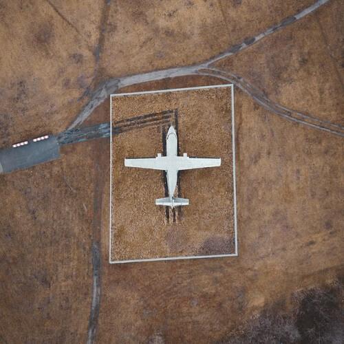
Released in 2019, NEXTView is powered by Intermap’s world-class NEXTMap processing engines and incorporates Lufthansa Systems’ global airport database in terrain computations. This significantly increases the quality of data around aerodromes, where accuracy is vital.
NEXTView improves situational awareness, safety and efficiency for airborne and ground operations with its 6-meter horizontal resolution and 3-meter LE90 or better vertical accuracy. Users can perform accurate height-above-ground calculations, simulations and flight planning. The dataset is 25x – 200x more detailed than current global aviation solutions and is continually updated and quality-checked.
NEXTView benefits applications such as flight planning, procedure design and performance analyses, as well as charting, navigation, simulation, emergency landing site evaluation, drift-down procedure calculations, and UAV/drone and UTM operations. NEXTView data can be streamed directly into users’ applications for seamless integration.
Coverage | Worldwide |
Data type | Digital surface model (DSM) |
Spatial resolution | 6.0 m (nominal, varies by latitude) |
Vertical accuracy | 3.0 m – 20 m LE90 (depending on surface and slope) |
Horizontal accuracy | 5.0 m CE90 |
Certification | EASA Service Provider Type 1 Certification and fulfills the following industry standards: - RTCA DO-200B: Standards for processing aeronautical data - RTCA DO-276C: User requirements for terrain and obstacle data - RTCA DO-291C: Interchange standards for terrain, obstacle, and aerodrome mapping data |
Building coverage | > 80 % of buildings in populated areas worldwide |
| Airport data | Over 12,000 airports |
| Data update | Continually updated |
Need a sample to test the product before ordering?
Key features
Seamless 6-meter digital surface model
(DSM) of the Earth
Up to 3-meter vertical accuracy that meets
ICAO Annex 15 specifications
Detailed modeling of aerodromes and
runways
Worldwide Coverage
Fulfills all relevant industry standards and
is certified according to EASA Service
Provider Certificate Type 1
Data continuously updated to address shifts
Key applications
Aviation
Flight planning, procedure design, and performance
calculation
Emergency landing site location evaluation
Enhanced ground proximity warning systems
Flight planning, procedure design, and performance
calculation
Emergency landing site location evaluation
Enhanced ground proximity warning systems

Environment
Extracting geomorphology
Predicting potential landslides
Estimating number of trees per unit area
Predicting potential landslides
Estimating number of trees per unit area

Transportation
Assessing slope failure and soil erosion
Line-of-sight analysis
Intelligent transportation systems (ITS)
Assessing slope failure and soil erosion
Line-of-sight analysis
Intelligent transportation systems (ITS)
FAQs
Lido Surface Data NEXTView is designed for use by aviation applications and systems, including:
- Synthetic vision systems (SVS), combined vision systems (CVS)
- Terrain awareness and ground proximity warning systems (TAWS, EGPWS)
- Flight planning, procedure design and performance calculations
- Aeronautical charting, maps, navigation and simulation
- Emergency landing site location evaluation, drift-down procedure calculation
- Drone operations and drone planning
NEXTView was designed to suit aviation industry standards and meets or exceeds the regulatory requirements of ICAO Annex 15. The model includes billions of embedded obstructions, such as buildings, mountain peaks and trees as well as detailed aerodromes and runways. NEXTView is also available with a release statement documenting the EASA Service Provider Type 1 Certificate for seamless integration into avionics systems.
The EULA of Lido Surface Data NEXTView is under the authority of Intermap and can be found here.