KOMPSAT-3
KOMPSAT-3 (also referred to as Arirang-3), the sub-meter optical satellite of the Korea Aerospace Research Institute (KARI), was established in the year 2004 as a continuation of the preceding KOMPSAT-1 and KOMPSAT-2 missions, and on May 17, 2012, the KOMPSAT-3 satellite was successfully launched using the H-IIA system from the Tanegashima Space Center, located in Japan. This mission was primarily funded by the Ministry of Education, Science, and Technology (MEST) within the Korean government's space development program.
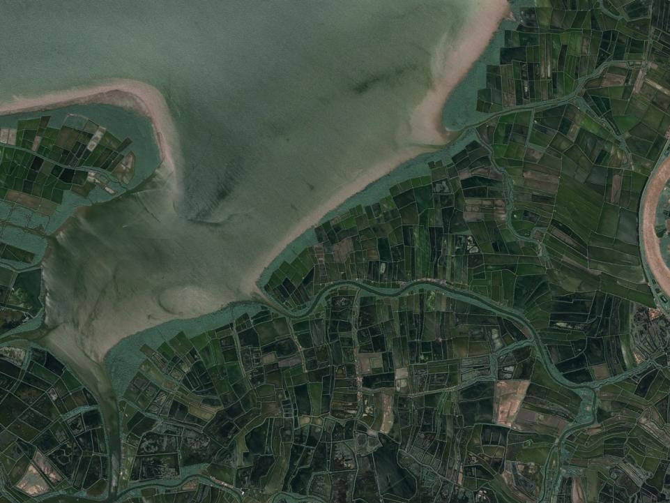
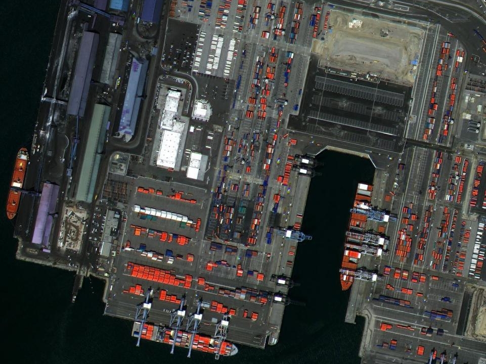
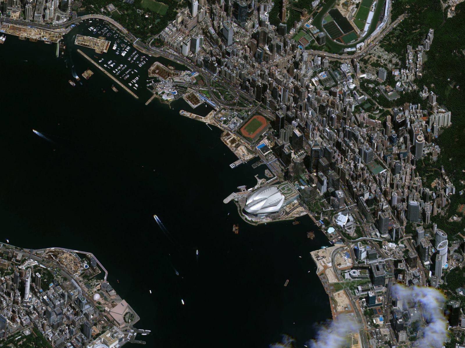
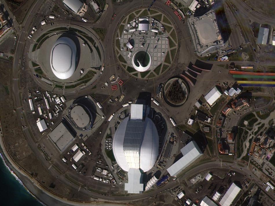
With 0.5 meter resolution for panchromatic and 2-meter resolution for multispectral data (Red, Green, Blue, and Near InfraRed), KOMPSAT-3 is best for agricultural applications, land and urban planning, natural disasters management, geological monitoring, and bathymetry. 14 bits/pixel simplifies the interpretation of targets under shadow and classification accuracy. KOMPSAT-3 has a revisit rate of 3 days.
Some general information for KOMPSAT-3 imagery:
Constellation | KOMPSAT |
Launch | May 17, 2012 |
Spectral bands | Blue: 450-520nm Green: 520-600nm Red: 630-690nm NIR: 760-900nm PAN:450-900nm |
Spatial resolution | Multispectral: 2 m Panchromatic: 0.5 m |
Geometric precision | <30.3m (CE90) |
Radiometric resolution | 14 bits |
Revisit time | 3 days |
| Swath width | 16 km |
| Orbit | Sun-synchronous 13:30 descending node 685 km altitude |
Key features
Optical and Near Infrared imagery with spatial resolution up to 50 cm
Satellite tasking capability to meet your project requirements
Capture any area or point of interest around the world
Sensitivity to small changes in surface reflectance thanks to the 14-bit radiometric resolution
Imagery collection in the afternoon
OGC compliance
Key applications
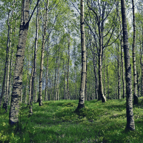
Forestry
Monitoring and management of forest health
Prevention of illegal and unpermitted forest clearing
Timber harvest optimization
Monitoring and management of forest health
Prevention of illegal and unpermitted forest clearing
Timber harvest optimization

Oil&Gas
Monitor production infrastructure
Environmental compliance
Estimate crude oil volume in tanks
Monitor production infrastructure
Environmental compliance
Estimate crude oil volume in tanks

Agriculture
Water management and irrigation planning
Insurance claim analysis
Assessment of crop damage and crop progress
Water management and irrigation planning
Insurance claim analysis
Assessment of crop damage and crop progress
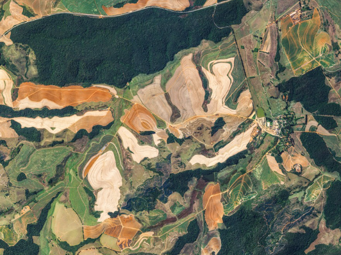
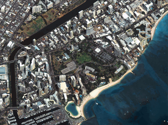
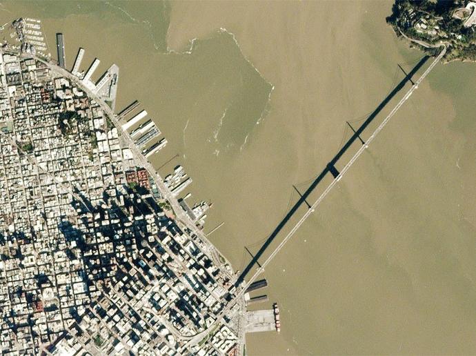
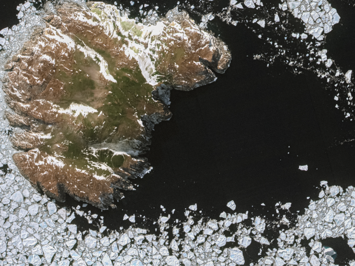
Gallery
FAQs
There are currently KOMPSAT-2, 3, and 3A in terms of electro-optical satellites. They observe the earth about 15 times a day in low earth orbit and collect high-resolution image data used for public safety, national land and resource management, and disaster monitoring.
For Archive imagery, the minimum order size is 25km² with a minimum area width of 5km.
For Tasking, the minimum order size is 100km² with a minimum area width of 5km.
When there is cloud coverage over the area of interest during the ordered tasking window, the image collection cannot be guaranteed. However, for Standard Tasking, if the acquisition is not completed during the collection window, the tasking shall be canceled automatically. Also, for Priority Tasking, if the acquisition cannot be completed during the collection window, you can either change the priority to Standard or update the collection window to continue the acquisition. For Priority Plus Tasking, there is no guarantee for cloud coverage.