KOMPSAT-2
KOMPSAT-2, an observation satellite designed and launched by the Korea Aerospace Research Institute (KARI), was successfully dispatched to provide highly intricate and detailed imagery of the Korean peninsula. SI Imaging Services has exclusive rights to distribute all the images obtained from this satellite.
The launch of KOMPSAT-2 took place on July 28, 2006, and it has been inserted into a sun-synchronous low Earth orbit with an altitude of 685.13 km and an inclination of 98.13 degrees. KOMPSAT-2 boasts a Multi-Spectral Camera (MSC), which is proficient in producing images with a resolution of 1 m and four bands of multispectral imagery with a 4 m resolution. One of the unique features of KOMPSAT-2 is its capability to operate in strip mode, where segments of continuous-observation areas with specific sizes are captured one at a time.
The primary goals of the KOMPSAT-2 mission are:
To provide imagery during natural disasters of colossal proportions to aid in countermeasure activities.
To obtain high-resolution images for Geographic Information Systems (GIS).
To regulate natural resources, and forestry management.
To conduct research in various fields.
Some general information for KOMPSAT-2 imagery:
Constellation | KOMPSAT |
Launch | July 28, 2006 |
Spectral bands | Blue: 450-520nm Green: 520-600nm Red: 630-690nm NIR: 760-900nm PAN:500-900nm |
Spatial resolution | Multispectral: 4 m Panchromatic: 1 m |
Geometric precision | <50.9m (CE90) |
Radiometric resolution | 10 bits |
Revisit time | 5.5 days |
| Swath width | 15 km |
| Orbit | Sun-synchronous 10:50 AM descending node 685m altitude |
Key features
A robust imagery archive dating back to 2006
Optical and Near Infrared imagery with spatial resolution up to 1 meter
Frequent remapping of areas of interest
Capture any area or point of interest around the world
Satellite tasking capability to meet your project requirements
OGC compliance
Key applications
Environment
Coastal and inland water quality monitoring
Investigating forest health status and density of vegetation
Observing Glaciers and Rainforests
Coastal and inland water quality monitoring
Investigating forest health status and density of vegetation
Observing Glaciers and Rainforests

Agriculture
Early detection of areas with abnormal symptoms
Growth status monitoring
Post-disaster assessment (floods, drought)
Early detection of areas with abnormal symptoms
Growth status monitoring
Post-disaster assessment (floods, drought)
Infrastructure
Post-disaster management
Search and rescue operations
Estimate green area coverage within urban environments
Post-disaster management
Search and rescue operations
Estimate green area coverage within urban environments
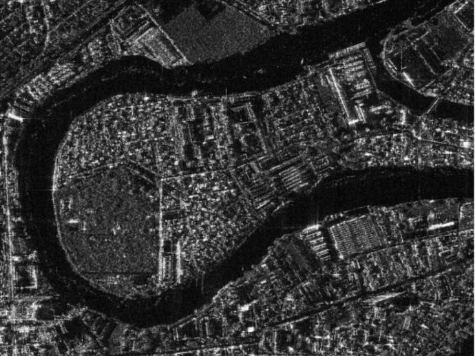
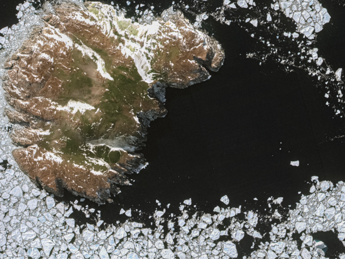
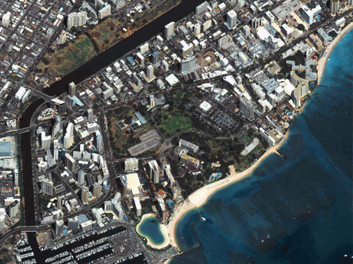
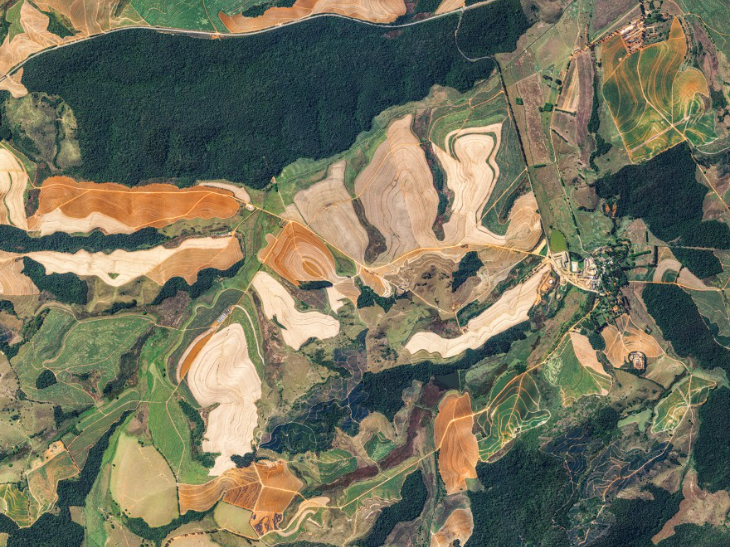
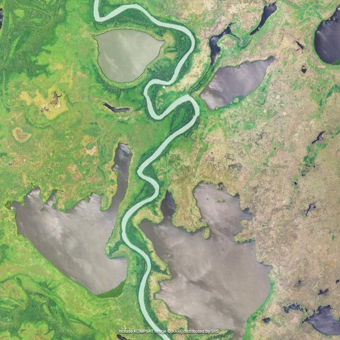
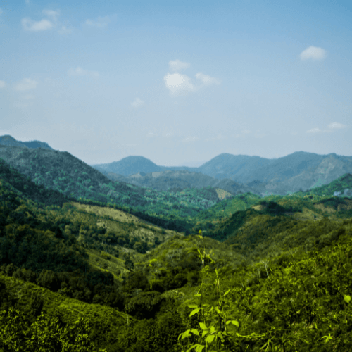
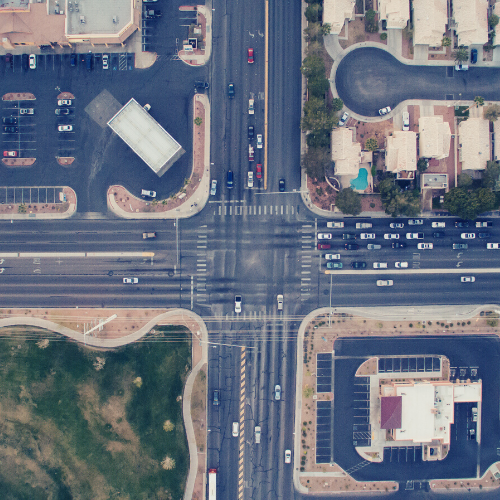
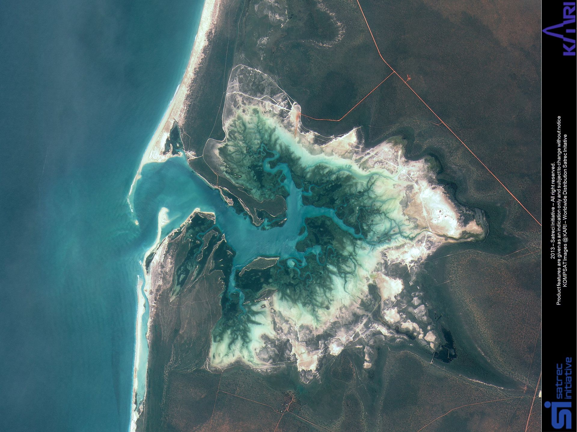
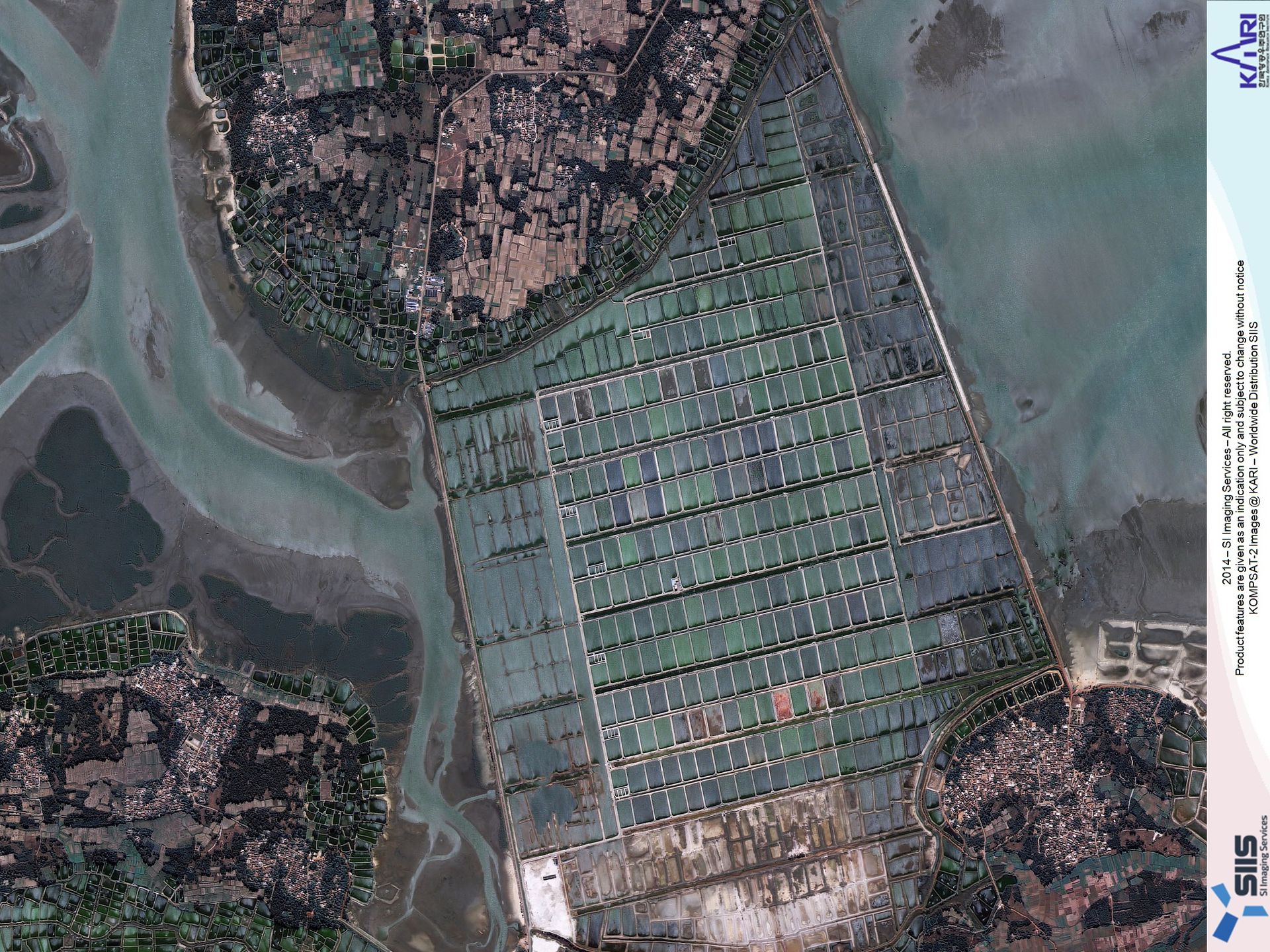
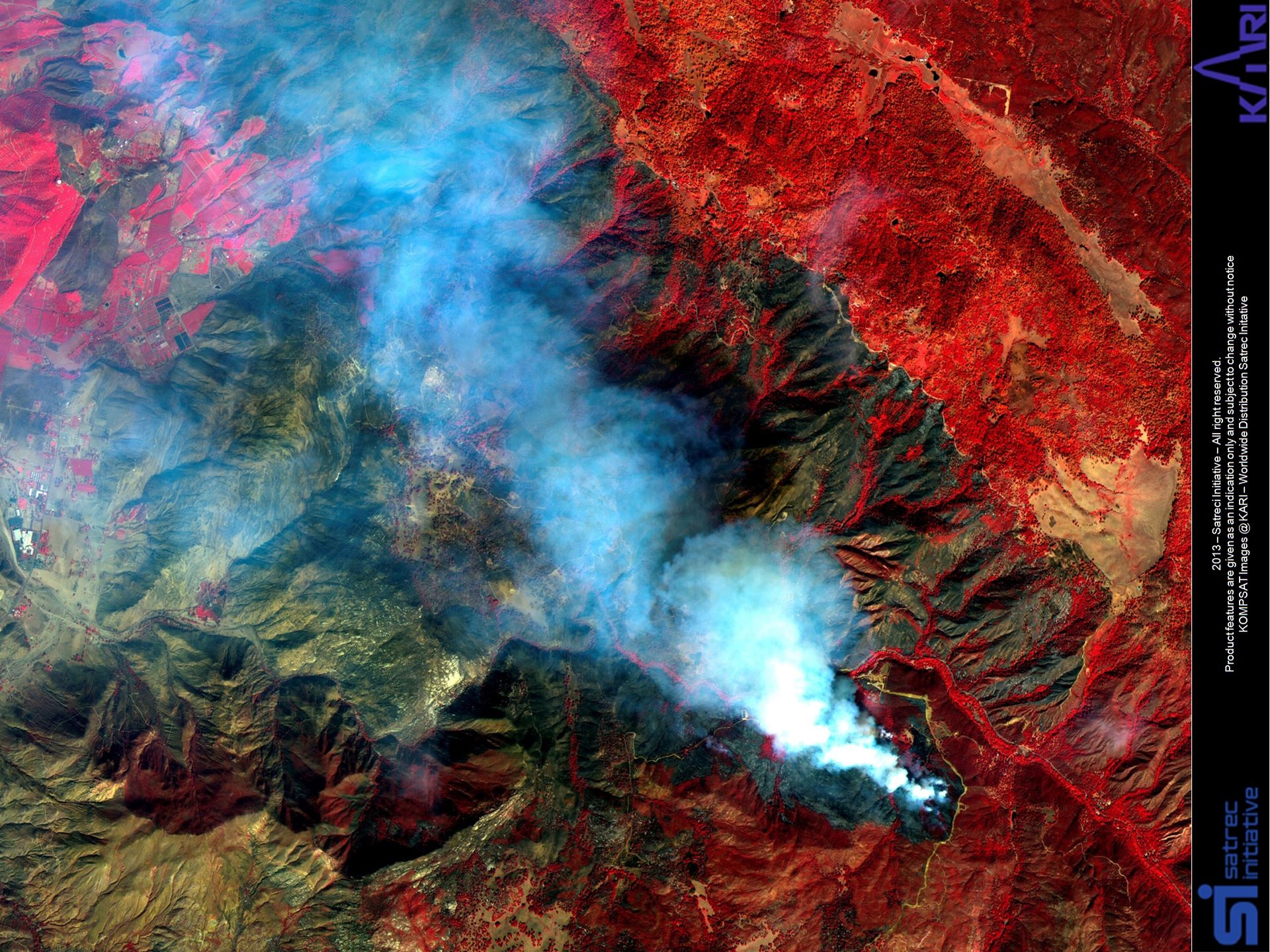
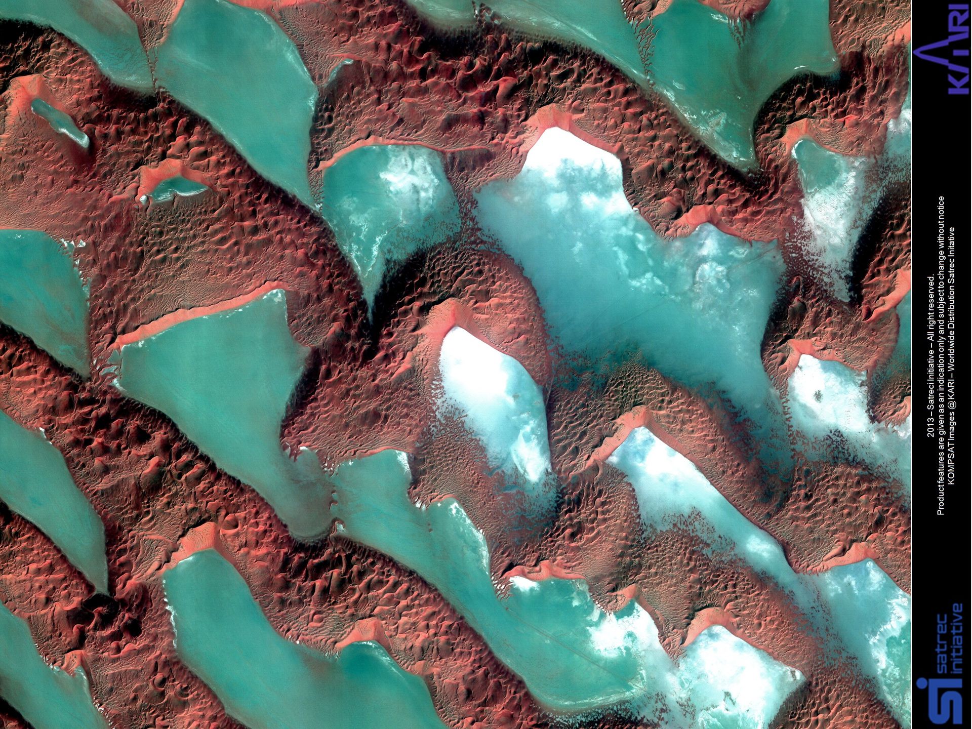
Gallery
FAQs
There are currently KOMPSAT-2, 3, and 3A in terms of electro-optical satellites. They observe the earth about 15 times a day in low earth orbit and collect high-resolution image data used for public safety, national land and resource management, and disaster monitoring.
For Archive imagery, the minimum order size is 25km² with a minimum area width of 5km.
For Tasking, the minimum order size is 100km² with a minimum area width of 5km.
When there is cloud coverage over the area of interest during the ordered tasking window, the image collection cannot be guaranteed. However, for Standard Tasking, if the acquisition is not completed during the collection window, the tasking shall be canceled automatically. Also, for Priority Tasking, if the acquisition cannot be completed during the collection window, you can either change the priority to Standard or update the collection window to continue the acquisition. For Priority Plus Tasking, there is no guarantee for cloud coverage.