Google Earth Engine Training For EO Applications
The next step for you is to gain proficiency in satellite remote sensing data analysis and GIS using GEE, a cloud based endeavor by Google that can help process several peta-byte of imagery data
The course is a hands on training with real remote sensing and GIS data analysis with Google Earth Engine. You will be provided with the foundation to carry out practical real-life remote sensing and GIS analysis tasks in this powerful cloud-supported platform. By taking this course, you are taking an important step forward in your GIS journey to become an expert in geospatial analysis.
Instructor: Minerva Singh, Data Science and Spatial Data Analysis Expert
The course is also included in GEO Premium.
What you'll learn
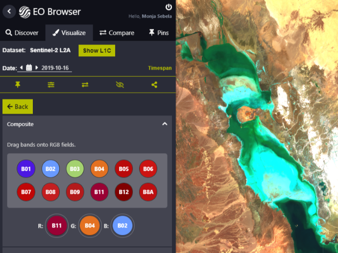
Learn about satellite data processing using Google Earth Engine.
Learn about pre-processing methods for raster data and images in Google Earth Engine.
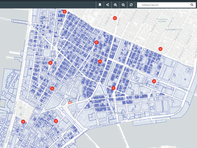
Learn about pre-processing methods for vector data in Google Earth Engine.
Learn how to implement GIS techniques in Google Earth Engine.
Key features
3.5 hours of step-by-step video lessons that guide you through the process of becoming an expert in Google Earth Engine.
Claim your Certificate of Completion with no extra cost.
Study at your best time - online and always accessible.
Even when you finish the course and you get your certificate, you will still have access to course contents.
Key applications

Train your company
Train newest members
Stay updated on GIS applications, Remote Sensing techniques and Space technologies

Research & Academia
Fill in knowledge gaps
Continuing education on GIS applications, Remote Sensing algorithms and techniques and Space technologies
Fill in knowledge gaps
Continuing education on GIS applications, Remote Sensing algorithms and techniques and Space technologies
FAQs
The online course is hosted in the platform of GEO University. After the purchase, you will be sent further information on how to access the course from the GEO University platform.
You get access to the course for ever! You pay once and you get access to the entire course content and their updates for ever.
No. Your certificates of completion remain active for ever.
You can share it in your social media accounts and you can add it to your CV, LinkedIn profile etc as proof of knowledge.
In case you want multiple people to access the course, please fill out the Quotation Form below and add your exact needs in the 'Your Question' field. We will contact you as soon as possible!
Terms & Conditions and Privacy Policy of GEO University apply.