GLOBHE - Drone Tasking
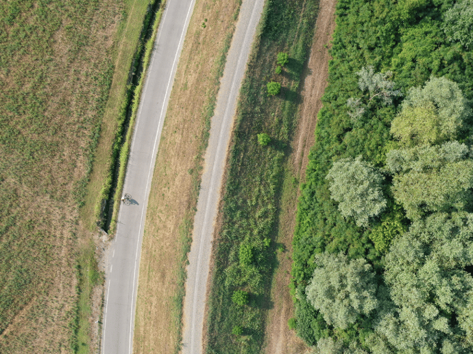
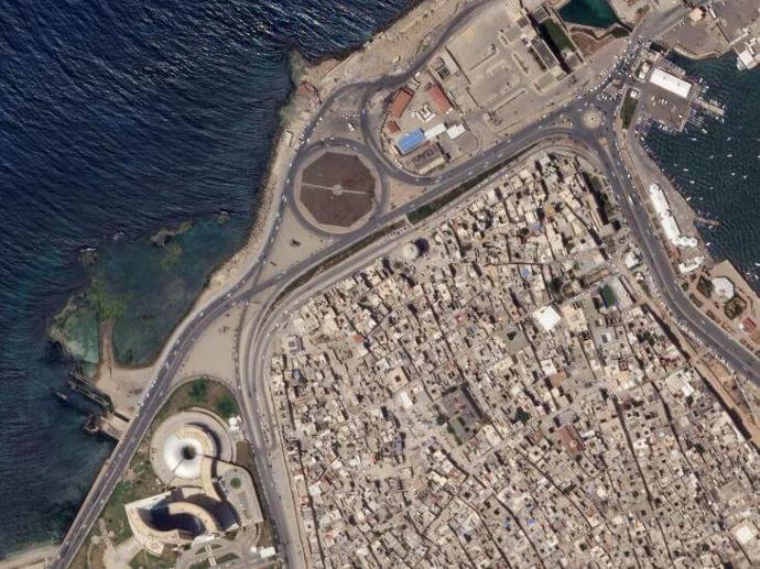
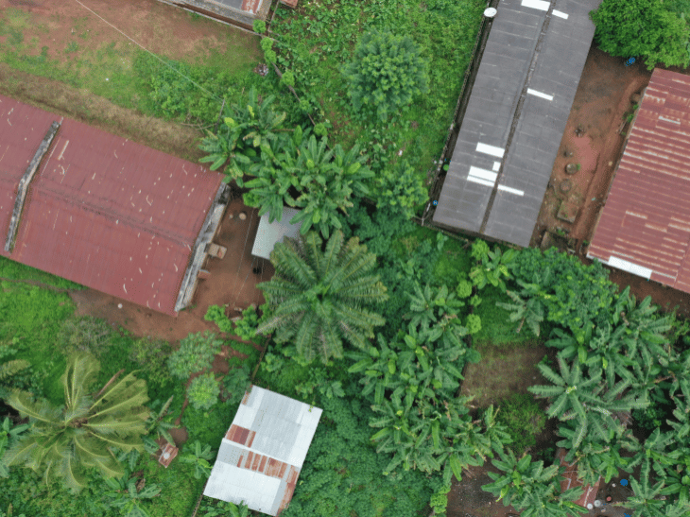
GLOBHE Drone Tasking provides customizable drone tasking services tailored to your specific needs. Having a wide range of aerial data solutions, including ultra-high-resolution imagery of up to 1cm, digital elevation models, thermal imaging, plant health maps, and much more, you can select the data products and services that best suit your needs and budget.
Gain access to over 9,000 local drone operators in more than 140 countries - GLOBHE Drone Tasking offers quick access to drone mapping services for various industries.
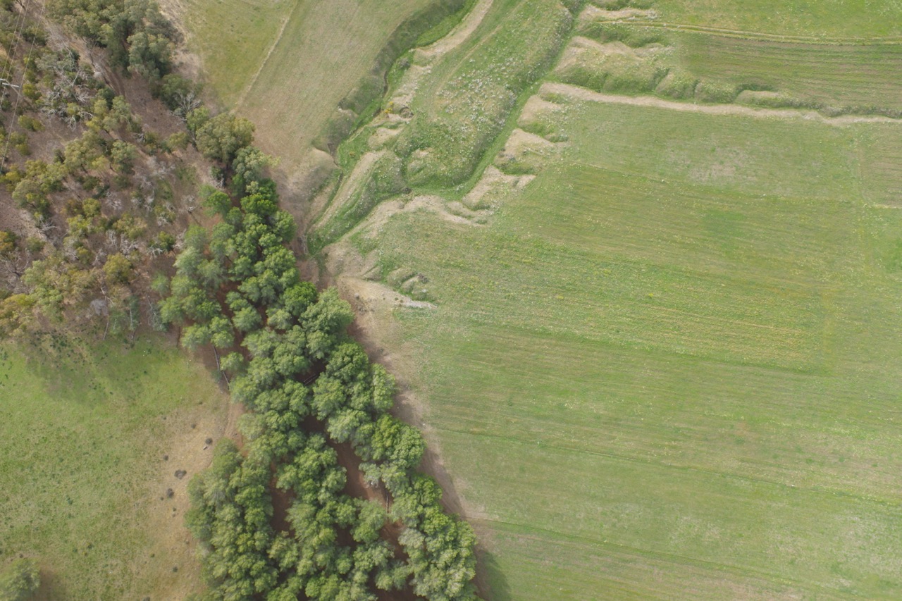
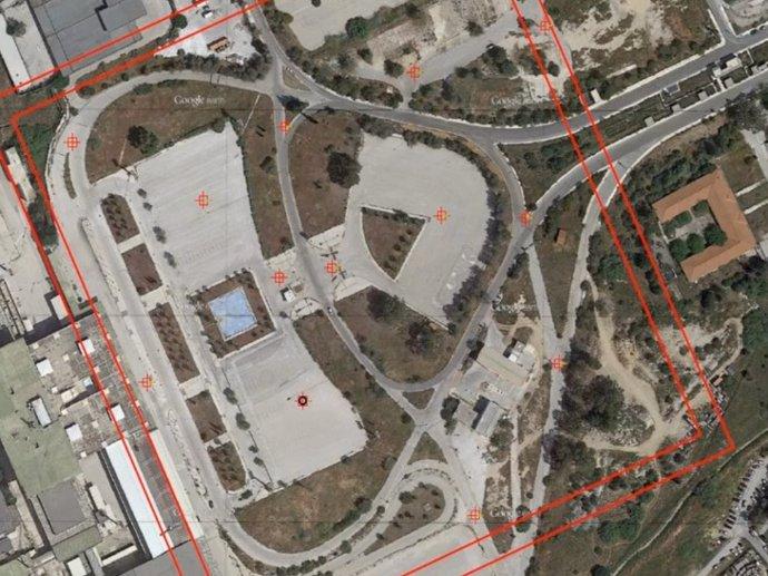
With GLOBHE - Drone Tasking you can order at your area of interest 2D Orthomosaic Maps, 3D models/point clouds, digital terrain/surface models, contour lines, thermal maps, plant health maps, video footage and live streaming, 360 panoramas, raw imagery, and LiDAR data.
Fill out the form below to create a custom order that meets your specific requirements, and we will come back to you with a quote.
Key features
Drone imagery of up to 1cm (about 0.39 in) pixel resolution.
Cost-effective mapping, monitoring, and inspecting of your area of interest.
Quick access to drone mapping services for various industries.
Digital elevation models, thermal imaging, plant health maps, and much more.
Access to over 9000 local drone operators in more than 140 countries.
Secure data management and delivery.
Key applications
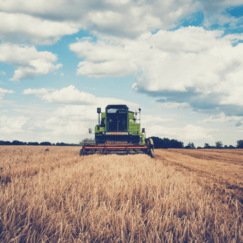
Agriculture
Determine crop damage and crop progress
Drought Monitoring
Crop health analysis
Determine crop damage and crop progress
Drought Monitoring
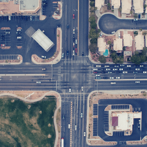
Infrastructure
Monitor construction sites
Creating a base map for visual reference
Site selection process
Creating a base map for visual reference
Site selection process

Energy
Electrical utility inspections
Solar PV monitoring and inspection
Wind turbine blade inspections
Electrical utility inspections
Solar PV monitoring and inspection
Wind turbine blade inspections
FAQs
By filling out the following form! Once you submit your order, our team will quickly review it and send you a quote. You can edit or cancel your order before you accept the quote. After the quote is accepted, a local drone operator will start capturing your data.
Yes, GLOBHE only works with local entrepreneurs or organizations. Using local operators, GLOBHE also makes sure they speak the language, know the culture and the surroundings, and keep the required documentation and license to collect the data.
You can gain access to GLOBHE Drone data in two ways:
With GLOBHE - Drone Tasking: You can get drone data on demand through custom orders, priced individually based on product type and region.
With GLOBHE - Data Library: You can buy already captured data through GLOBHE - Data Library. All prices vary depending on geography, product, and area.
The order pricing depends on the estimated time to acquire the data (deadline), the estimated area of interest and image size, and the geographic area.