FOSS4g Stack: QGIS 3 Desktop
Through this course, you will learn the most popular open source desktop GIS: QGIS. You will start with a basic understanding of QGIS, and move on to more sophisticated uses of the software.
Whether you need to learn QGIS for your job, or want to get spun up on FOSS4g to nail that big interview, this course will prepare you to work with the ins-and-outs of QGIS, and give you confidence as you interact with other GIS experts.
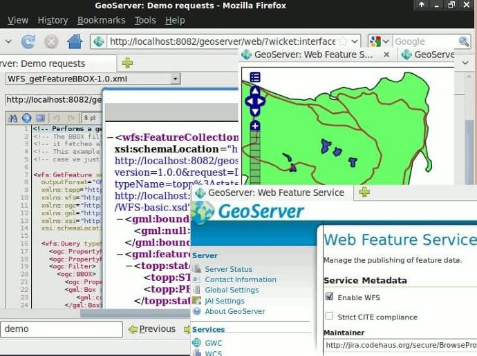
This course uses real data from Tompkins County, New York, and seamlessly integrates with other gis-advisory courses that will teach you Postgres/PostGIS, GDAL, Geoserver, and Python. You'll be working alongside the instructor as you explore the functionality of QGIS, working with raster, vector, and attribute data. And most importantly, after you learn the basics of QGIS, you will simulate some real-world examples of GIS projects and spatial analysis.
Instructor: Dr. Arthur Lembo, Professor in the Department of Geography and Geosciences at Salisbury University, Maryland.
The course is also included in GEO Premium.
What you'll learn
Understand the basic features that QGIS offers as a complete desktop GIS.
Learn how to use advanced capabilities in QGIS including plug-ins, statistical tools, modeling tools, and database capabilities.
Work on actual real-world projects, with real data, to understand the GIS workflow with QGIS.
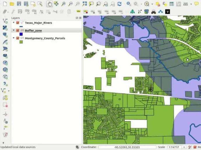
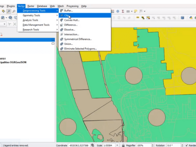
Utilize QGIS to perform raster, vector, and database manipulation.
Understand how to complete a number of GIS projects from start to finish.
Key features
7 hours of step-by-step video lessons that guide you through the process of becoming an expert in QGIS.
Claim your Certificate of Completion with no extra cost.
Study at your best time - online and always accessible.
Even when you finish the course and you get your certificate, you will still have access to course contents.
Key applications

Train your company
Train newest members
Stay updated on GIS applications, Remote Sensing techniques and Space technologies

Research & Academia
Fill in knowledge gaps
Continuing education on GIS applications, Remote Sensing algorithms and techniques and Space technologies
Fill in knowledge gaps
Continuing education on GIS applications, Remote Sensing algorithms and techniques and Space technologies
FAQs
The online course is hosted in the platform of GEO University. After the purchase, you will be sent further information on how to access the course from the GEO University platform.
You get access to the course for ever! You pay once and you get access to the entire course content and their updates for ever.
No. Your certificates of completion remain active for ever.
You can share it in your social media accounts and you can add it to your CV, LinkedIn profile etc as proof of knowledge.
In case you want multiple people to access the course, please fill out the Quotation Form below and add your exact needs in the 'Your Question' field. We will contact you as soon as possible!
Terms & Conditions and Privacy Policy of GEO University apply.