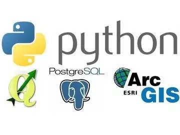
FOSS4g Stack: Python Geospatial
After a brief overview of Python, you will dive into using Python with Open Source GIS and commercial GIS software. Most courses only go over a single GIS program's use of Python. But in this class, you'll get exposed to all kinds of different GIS software products, and learn how to tie them all together with Python.
Instructor: Dr. Arthur Lembo, Professor in the Department of Geography and Geosciences at Salisbury University, Maryland.
The course is also included in GEO Premium.
What you'll learn
How to write basic Python scripts.
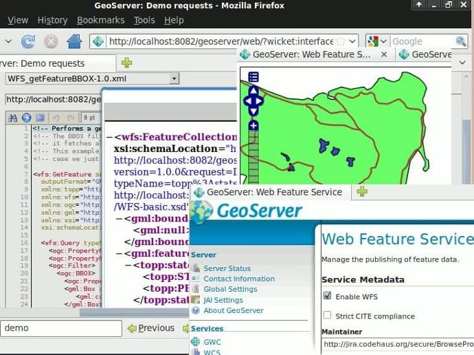
How to use Arcpy, and integrate ArcGIS with FOSS4g.
How to integrate Python packages that have GIS functionality.
How to integrate SQL, PostGIS, and SpatiaLite.
Key features
Learn how to leverage Python programming for your geospatial needs.
Claim your Certificate of Completion with no extra cost.
Study at your best time - online and always accessible.
Even when you finish the course and you get your certificate, you will still have access to course contents.
Key applications

Train your company
Train newest members
Stay updated on GIS applications, Remote Sensing techniques and Space technologies

Research & Academia
Fill in knowledge gaps
Continuing education on GIS applications, Remote Sensing algorithms and techniques and Space technologies
Fill in knowledge gaps
Continuing education on GIS applications, Remote Sensing algorithms and techniques and Space technologies
FAQs
The online course is hosted in the platform of GEO University. After the purchase, you will be sent further information on how to access the course from the GEO University platform.
You get access to the course for ever! You pay once and you get access to the entire course content and their updates for ever.
No. Your certificates of completion remain active for ever.
You can share it in your social media accounts and you can add it to your CV, LinkedIn profile etc as proof of knowledge.
In case you want multiple people to access the course, please fill out the Quotation Form below and add your exact needs in the 'Your Question' field. We will contact you as soon as possible!
Terms & Conditions and Privacy Policy of GEO University apply.