Elevation 30
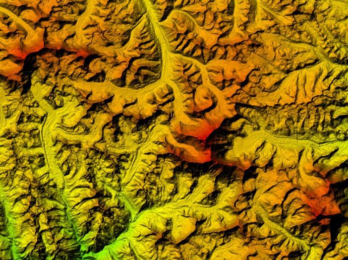
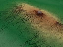
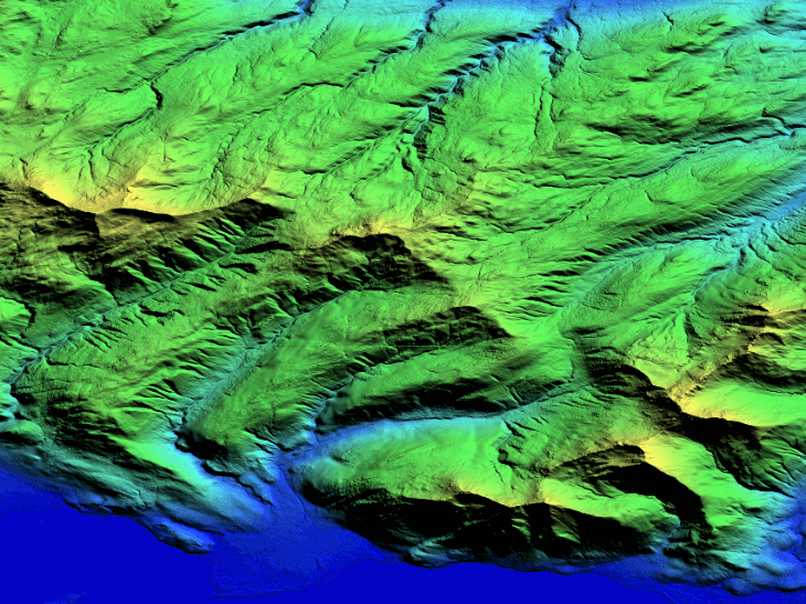
Elevation 30 is a Digital Elevation Model derived from SPOT5 optical satellite data (developed in partnership by Airbus Defence and Space and the French survey and mapping agency IGN as reference3D) and radar spaceborne technologies allowing a greater coverage independent of terrain characteristics and weather conditions.
It has a vertical accuracy down to 6m at 30m grid spacing. It is available off-the-shelf over more than 60 million square kilometers.
This dataset is immediately available, priced simply per square kilometer, and is ideal for defense, mapping, and terrain modeling applications. The model is available tailored exactly to your Area of Interest (AOI) starting at a minimum area of just 500km².
Key features
Up to 6m horizontal and vertical accuracy at 30m grid spacing
Available for more than 60 Million km² worldwide
Derived from both optical and radar spaceborne technologies
Greater coverage independent of terrain characteristics and weather conditions
Based on DTED Level 2 military standards
Developed by Astrium GEO-Information Services and the French survey and mapping agency IGN
Key applications
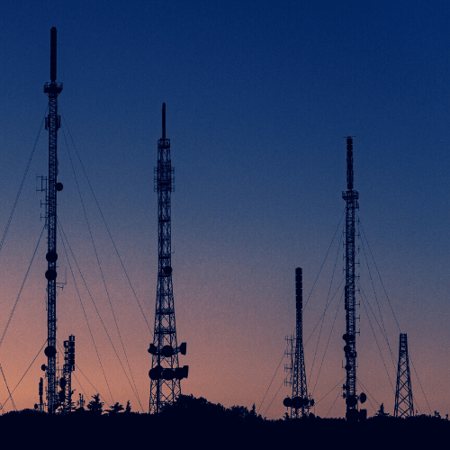
Telecom
Locations and spacing modelling of tower network
Line-of-sight analysis
Generating elevation model at local level
Locations and spacing modelling of tower network
Line-of-sight analysis
Generating elevation model at local level
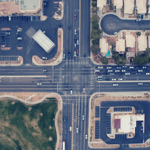
Infrastructure
Intelligent transportation systems (ITS)
Rendering of 3D visualizations
Rectification of satellite imagery
Rendering of 3D visualizations
Rectification of satellite imagery
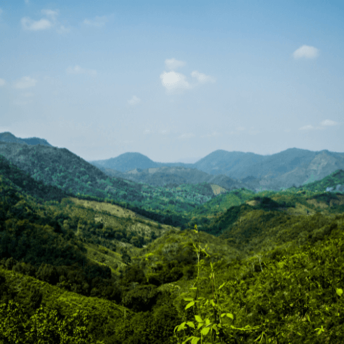
Environment
Modeling water flow for hydrology
Extracting terrain parameters for geomorphology
Delineation of the shoreline
Extracting terrain parameters for geomorphology
Delineation of the shoreline
FAQs
A minimum order area size of just 500km² is required.
You can read here directly the official Airbus documentation for Product & Services Description of Elevation 30.
The EULA of Elevation 30 of Airbus Defence & Space is under the Pleiades EULA and SPOT for ELEVATION EULA.