Elevation 1
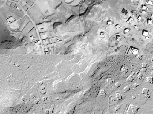
The model comes in two formats: Digital Surface Model (DSM; a model of the ground that includes both ground and above ground features as buildings, vegetation, etc.) or Digital Terrain Model (DTM; representing the bare Earth elevation, vegetation and man-made objects removed). In addition to the elevation information, you also receive the original Pleiades imagery used to create it. Elevation1 provides 50cm orthomosaic and contour lines with a DTM or bundle order.
Need a sample to test the product before ordering?
Key features
Up to 1.5m vertical accuracy at 1m grid spacing
Digital Surface Models (DSM) and Digital Terrain Models (DTM) are available
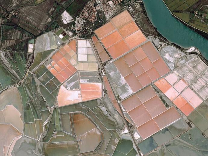
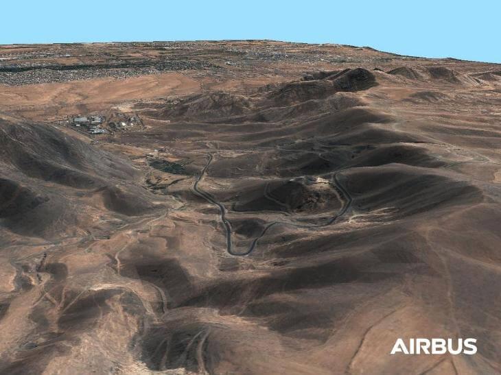
Ideally for areas with little vegetation and / or no buildings (eg. deserts, mineral areas)
Weather and daylight independent site access to any point on Earth
Derived from very high optical spaceborne technology
Suitable to HRE10 (E1) standards (military standards (NGA))
Key applications

Infrastructure
Rectification of aerial photography or satellite imagery
Line-of-sight analysis
Site selection process
Rectification of aerial photography or satellite imagery
Line-of-sight analysis
Site selection process

Transportation
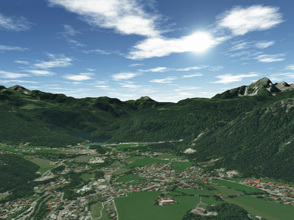
3D flight simulation
Surface analysis for road construction
Intelligent transportation systems (ITS)
3D flight simulation
Surface analysis for road construction
Intelligent transportation systems (ITS)

Environment
Extracting terrain parameters
Modeling water flow
Predicting potential landslides
Extracting terrain parameters
Modeling water flow
Predicting potential landslides
FAQs
Pléiades Stereo or Tristereo pair(s), Pansharpened, Primary, JPEG 2000 Regular.
Pléiades Stereo or Tristereo automatic matching for DEM production at 1m grid spacing. Processing includes manual editions.
Elevation1 package includes the DEM, a 50cm orthomosaic and the Stereo pair.
A minimum area size of 100km² is required.
A minimum area width of 10km is required.
Product is limited to mineral or open areas with few (or low) vegetation and few buildings. Urban areas are only proposed on demand with a custom price.
The official Elevation1 Product Guide by Airbus can be found here.
The EULA of Elevation 1 is under the authority of Airbus Defence & Space, and falls under the Pleiades EULA.